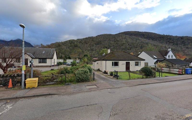
Coire Gabhail, Glen Coe, near Glencoe Village, Ballachulish PH49 4HX
Lost Valley Trail (Coire Gabhail)
route · Countryside walk
Source image
8.4
Wildland
Half day
Time
Check
Cost
Dramatic
Feel
Why it's Wildland
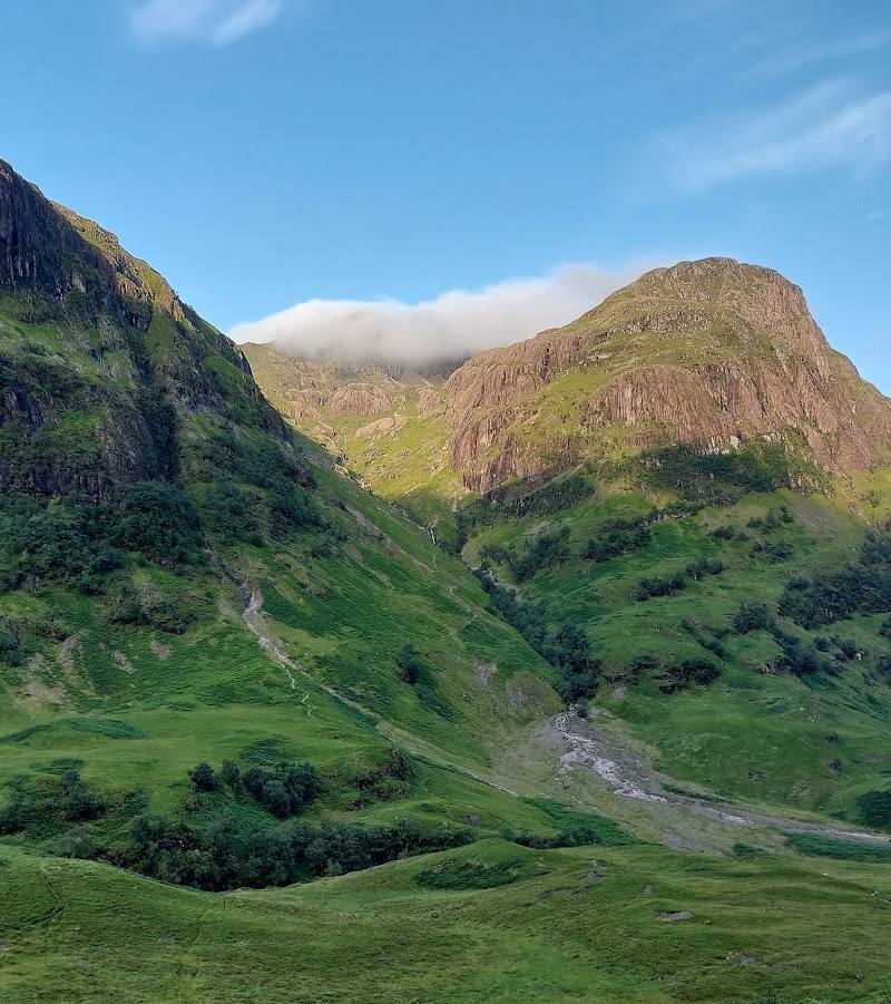
8.4A steep, rocky trail threads between the walls of Glen Coe into Coire Gabhail, the hidden valley traditionally associated with the MacDonalds’ cattle and the aftermath of the 1692 Massacre of Glencoe.
The Lost Valley turns a relatively short walk into a striking mountain journey: rough rock, a river crossing and a scramble lead into a dramatic corrie enclosed by steep peaks. It is rewarding, but not an easy stroll; conditions and footing matter.
Dramatic · Wild · Atmospheric
Find your way
Open mapCoire Gabhail, Glen Coe, near Glencoe Village, Ballachulish PH49 4HX
Opening map…
Know this place a little better?
The experience
Allow around 2–3 hours for the out-and-back walk, with time to take care over rocky sections and the river crossing. The trail is steep and includes scrambling; it is not suitable for every visitor or in all conditions.
Things to do
Walk into Coire Gabhail
Follow the out-and-back trail from the A82-side car parks into the hidden corrie. Expect steep, rocky ground, scrambling and a river crossing; check conditions before setting out.
About 2–3 hours
Pause by the Alt Coire Gabhail river
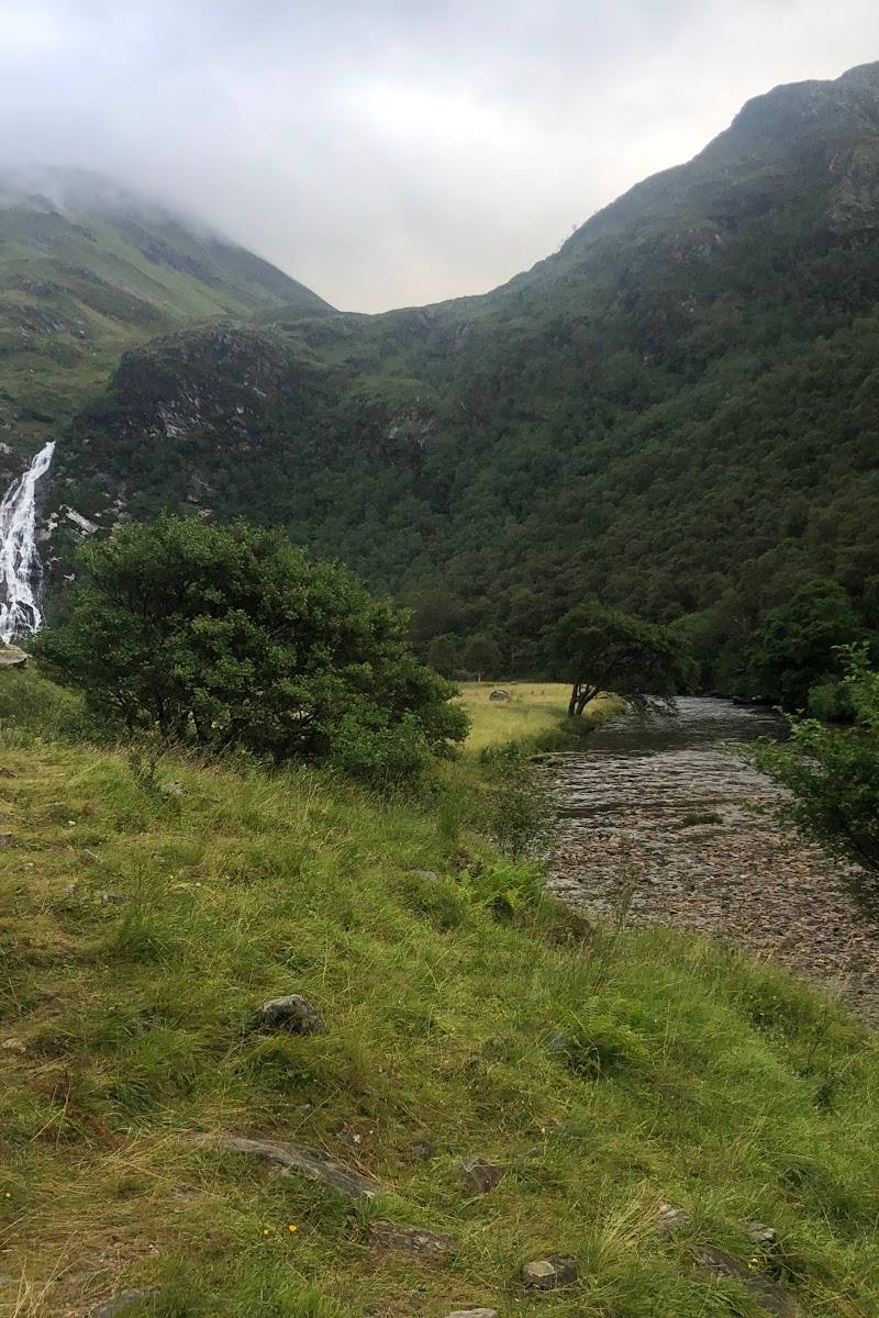
The supplied family walking account highlights the area where the trail meets the river and describes cascades and waterfalls. Take care around wet rock and water; do not assume swimming is permitted or safe.
Make a day of it
Quick escape · About 2–3 hours
1 — Quick Escape: the Lost Valley out and back
- 01
Start from the A82 car parks near Glencoe Village; check parking and access arrangements before travelling.
- 02
Follow the rocky uphill trail towards Coire Gabhail, taking care on steep sections and at the river crossing.
- 03
Enter the enclosed valley, pause to take in its rock walls and river setting, then return by the same route.
Verified history
The supplied Tripadvisor description says Coire Gabhail was historically used by the MacDonalds to hide stolen cattle and shelter some survivors of the 1692 Massacre of Glencoe. The available material does not independently verify those details, so treat them as an account to check against authoritative local history sources.
Folklore & legend
The name “Lost Valley” and the account of the MacDonalds hiding cattle there belong to the valley’s traditional story. The supplied sources do not establish further folklore; do not treat the cattle-hiding account as independently verified fact.
Hidden details
Notice the river crossing — The route crosses the river on boulders, according to a supplied photography account. High water or wet rock may make the crossing difficult; assess conditions and do not cross if unsafe.
Look for foxgloves and listen for birds — A supplied family account reports purple foxgloves and birdsong along the walk. These are observations, not guaranteed seasonal sightings.
When to go
· No specific time is verified. One supplied account recommends an early start to avoid busier periods; check weather and daylight before setting out.
The supplied material does not establish a best season. Mountain weather, wet rock and river conditions can affect the difficulty and safety of the route.
Wet rock, heavy rain and a swollen river can make the route and crossing difficult. Check current weather and conditions; do not attempt unsafe sections.
The route
- ascent
- About 335 m according to the Tripadvisor description; another supplied account gives about 275 m.
- stiles
- Check before visiting
- surface
- Rough, rocky path; wet rock and washed-out sections are reported.
- distance
- About 4 km (2.5 miles) according to the Tripadvisor description; another supplied account gives 5 km (3.1 miles) round trip.
- duration
- Typically 2–3 hours according to the Tripadvisor description.
- difficulty
- Steep, rough and rocky, with scrambling and a river crossing; moderately difficult according to one supplied account.
- waymarking
- Check before visiting
- route shape
- Out and back, returning by the same route.
- start point
- Car parks on the A82 near Glencoe Village; confirm the exact trailhead and current arrangements before travel.
- parking start
- A supplied source describes a small car park at the trailhead; another describes car parks on the A82 near Glencoe Village. Check current availability.
- The enclosed corrie of Coire Gabhail
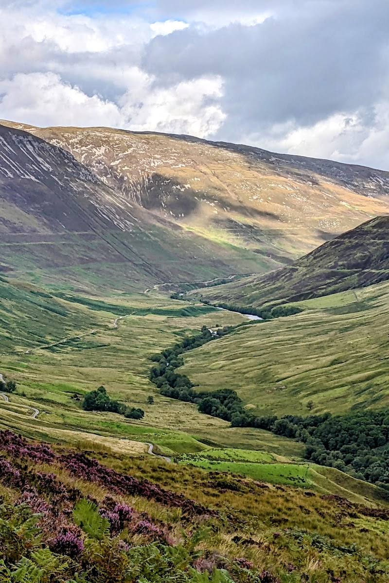
- Steep rock walls and surrounding mountain peaks
- The Alt Coire Gabhail river and reported cascades
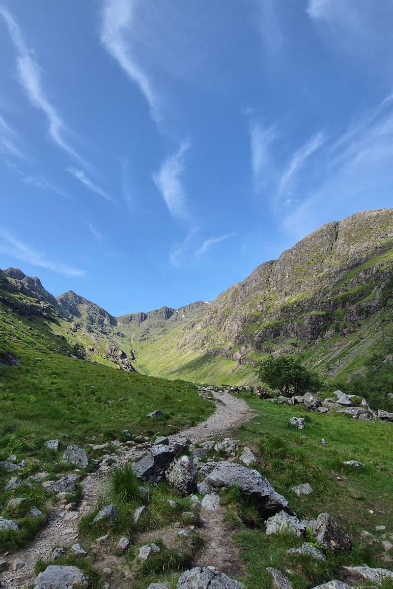
- A rocky trail with scrambling and a river crossing
What to look for
- 01
Notice how the path leaves the open glen and enters the enclosed corrie
- 02
look for the river, waterfalls and steep rock walls described by the supplied sources. The cattle-hiding and massacre associations are historical accounts and tradition, not features independently verified here.
The story
Folklore & legend; War & battle
Best time to go
Check current mountain and trail conditions before visiting; no specific best season is verified by the supplied sources.
No best time of day is verified by the supplied sources. Check weather, daylight and trail conditions before setting out; an early start may help avoid busy periods, according to one supplied account.
How long to spend
Half day
Perfect for
Walkers · Photographers · History lovers
Route at a glance
Duration
Half day
Terrain
Valley, Hills
Parking / start
The trail is described as starting from car parks on the A82 near Glencoe Village; one source describes the car park as small. Check availability and current arrangements before travel.
Before you go
Address
Google rating
Practical information
Opening & access
A rugged out-and-back trail into Coire Gabhail, starting from car parks on the A82 near Glencoe Village. Check current access and parking conditions before setting out.
Check before visiting
Parking
The trail is described as starting from car parks on the A82 near Glencoe Village; one source describes the car park as small. Check availability and current arrangements before travel.
Check before visiting
Toilets
Check before visiting
Check before visiting
Food & drink
Check before visiting
Check before visiting
Dogs
Check before visiting
Check before visiting
Accessibility
Not an accessible or easy path: sources describe steep, rough and rocky sections, scrambling and a river crossing. Check current conditions and assess suitability before setting out.
Check before visiting
Cost
Check before visiting
Check before visiting
Water
River
Gallery
Place photographsKeep exploring
Around Lost Valley Trail (Coire Gabhail)
Within 50 km · approximate straight-line distances