Glen Nevis, near Fort William, Scottish Highlands, PH33 6SZ
The Devil’s Ridge
route · Countryside walk
Place photograph
6.9
Wildland
Full day
Time
Check
Cost
Dramatic
Feel
Why it's Wildland
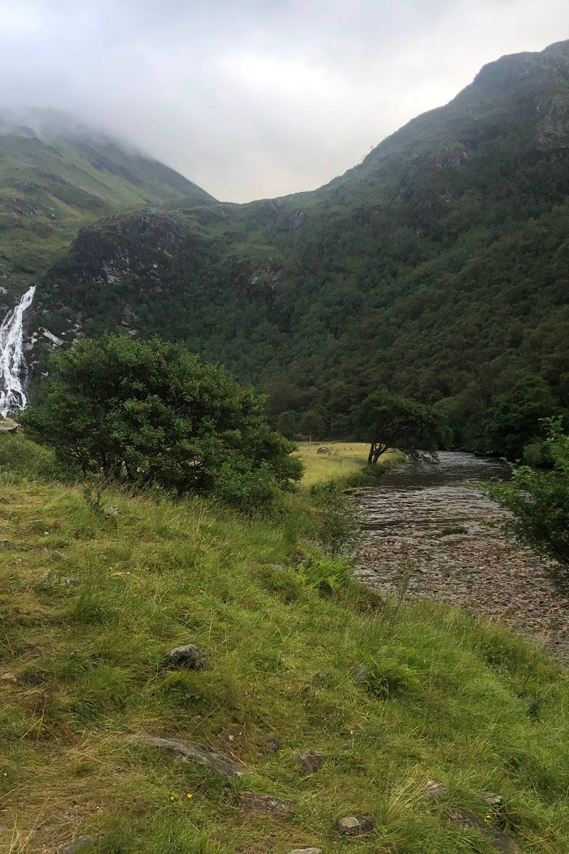
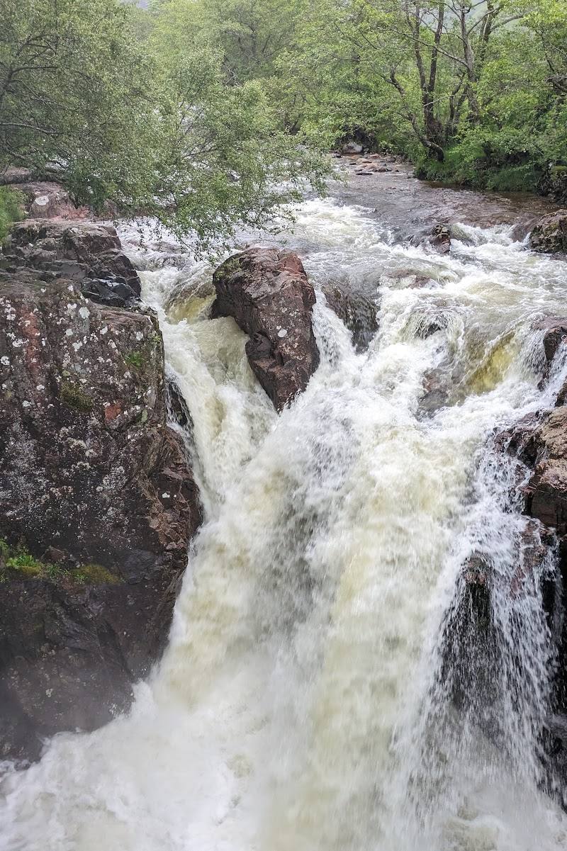
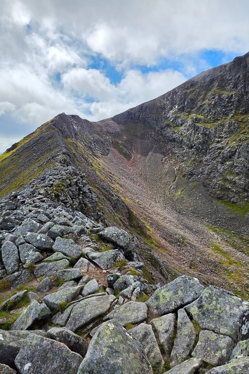
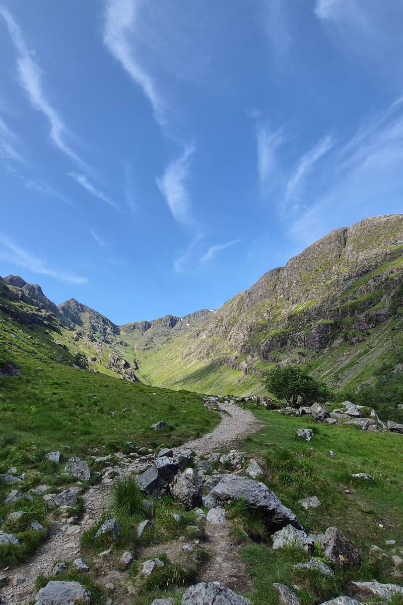
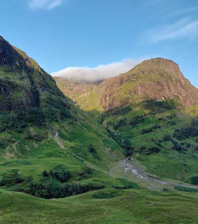
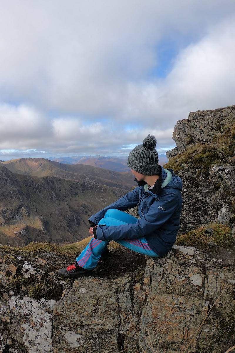
6.9The Devil’s Ridge is associated with the Ring of Steall, a challenging circular mountain hike above Glen Nevis. The ridge’s appeal is the sense of moving through high, dramatic Highland country, with broad views across the glen.
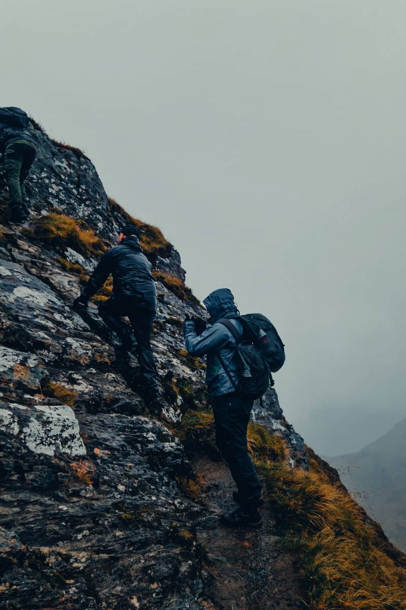
This is a genuinely wild-feeling mountain outing rather than a short roadside viewpoint: the supplied route description identifies a challenging 16 km circuit across dramatic ridge terrain above Glen Nevis. Its appeal depends on the landscape and the demanding walk, not visitor facilities.
Dramatic · Wild · Remote
Find your way
Open mapGlen Nevis, near Fort William, Scottish Highlands, PH33 6SZ
Opening map…
Know this place a little better?
The experience
The supplied sources describe the Devil’s Ridge as part of a challenging 16 km circular hike associated with the Ring of Steall, with panoramic views across Glen Nevis. No shorter verified itinerary or additional on-route facilities are provided.
Things to do
Hike the Devil’s Ridge
Walk the ridge as part of the challenging Ring of Steall circuit. A supplied route excerpt describes the circuit as 16 km and notes dramatic views across Glen Nevis; verify current route details before setting out.
Full day
Take in the Glen Nevis panorama
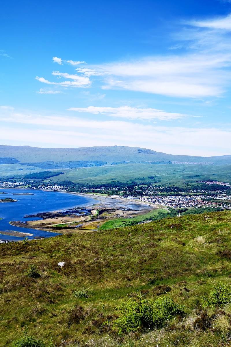
The supplied descriptions highlight panoramic views from the ridge across the Glen Nevis area. Visibility depends on conditions, which should be checked before the walk.
Make a day of it
Quick escape · Full day
Take on the Devil’s Ridge
- 01
Plan for a challenging mountain outing associated with the Ring of Steall circuit.
- 02
Check current route information, access and mountain conditions before setting out.
- 03
Follow a suitable current route guide; the supplied sources do not verify a start point or detailed waypoints.
When to go
· Not established by the supplied sources; choose a suitable weather window and check current mountain conditions.
The supplied sources do not establish a best season. Conditions on a challenging Highland ridge can affect the outing; check current forecasts and route information.
Check the mountain forecast and current conditions before setting out. The route is described as challenging; do not rely on the supplied location pin as a route guide.
The route
- distance
- 16 km circular hike (source description of the Ring of Steall route; confirm the exact route before setting out)
- difficulty
- Challenging
- route shape
- Circular, as described for the Ring of Steall hike
- The Devil’s Ridge
- Dramatic views across Glen Nevis
What to look for
- 01
Look for the ridge’s exposed Highland profile and wide views across the Glen Nevis area
- 02
the supplied sources do not substantiate specific wildlife, geological or historical features to seek out.
Best time to go
Not established by the supplied sources; check current mountain conditions before visiting.
No season or time of day is verified in the supplied sources. Check the forecast and mountain conditions before setting out.
How long to spend
Full day
Perfect for
Walkers · Photographers
Route at a glance
Duration
Full day
Terrain
Hills, Valley
Parking / start
Check before visiting; no verified start-point or parking information is available in the supplied sources.
Before you go
Address
Google rating
Practical information
Opening & access
A challenging mountain route in exposed Highland terrain. The supplied sources do not confirm current access arrangements or conditions; check before setting out and use current mountain-weather and route information. Access arrangements are unconfirmed. Check before visiting; do not enter private land or restricted structures.
Check before visiting
Parking
Check before visiting; no verified start-point or parking information is available in the supplied sources.
Check before visiting
Toilets
Check before visiting
Check before visiting
Food & drink
Check before visiting
Check before visiting
Dogs
Check before visiting
Check before visiting
Accessibility
A challenging mountain hike, not a suitable casual or accessible stroll. The supplied sources do not verify route conditions, access arrangements or facilities; check before visiting and assess your experience and conditions.
Check before visiting
Cost
Check before visiting
Check before visiting
Gallery
Place photographs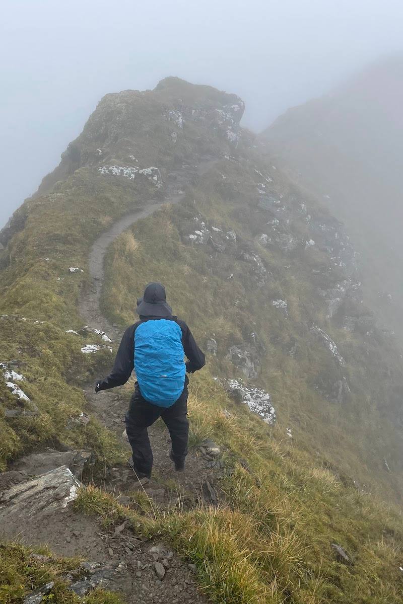
Keep exploring
Around The Devil’s Ridge
Within 50 km · approximate straight-line distances