Mourne Mountains, near Newry, County Down, Northern Ireland
Ben Crom Reservoir
Reservoir
Place photograph
5.8
Wildland
1–2 hours, Half day
Time
Check
Cost
Dramatic
Feel
Why it's Wildland
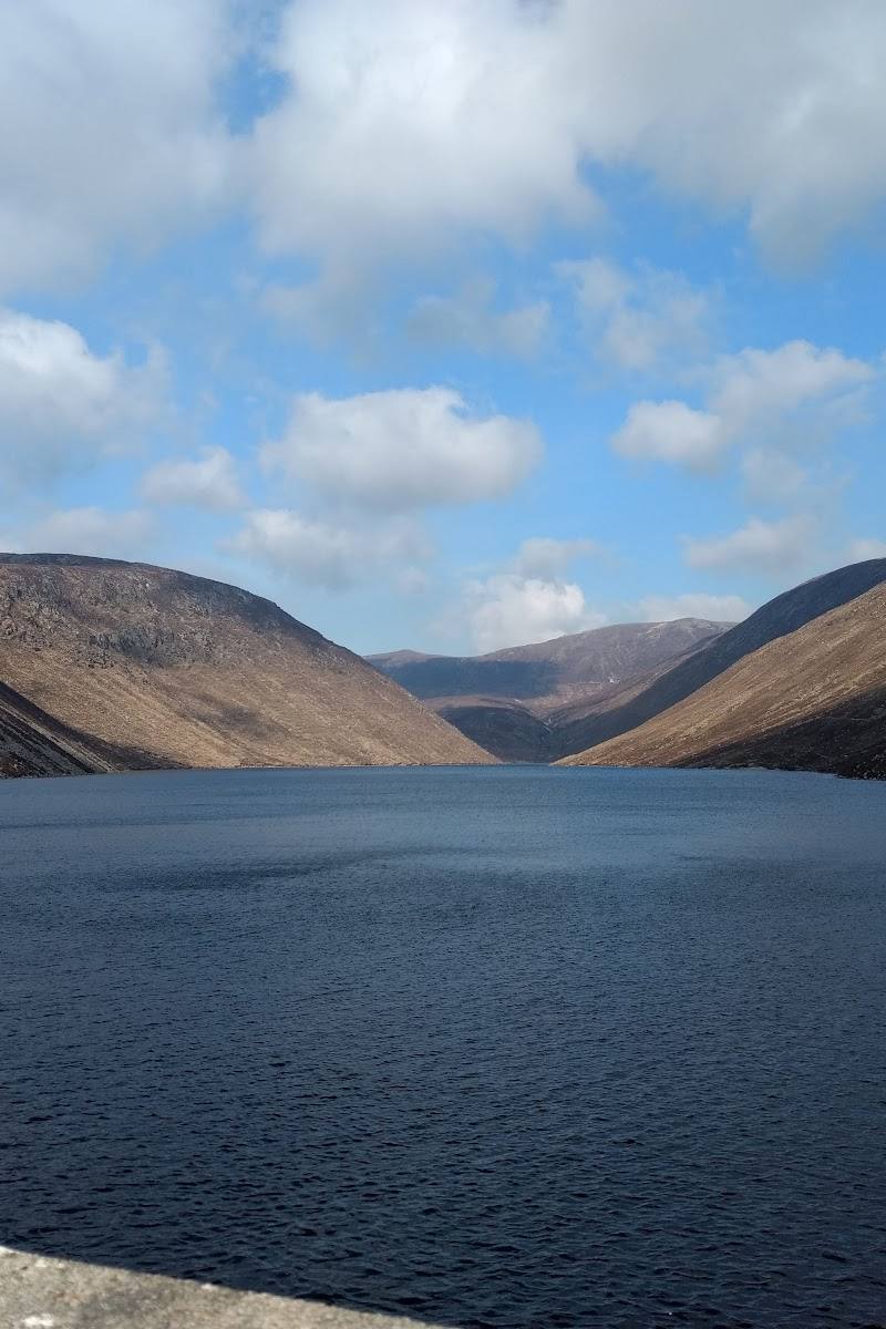
5.8An upland reservoir framed by the Mourne Mountains, with walking routes linking it to Silent Valley and the area’s distinctive dam and water-supply infrastructure.
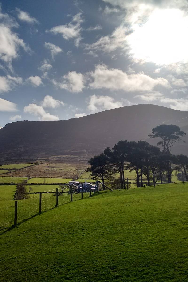
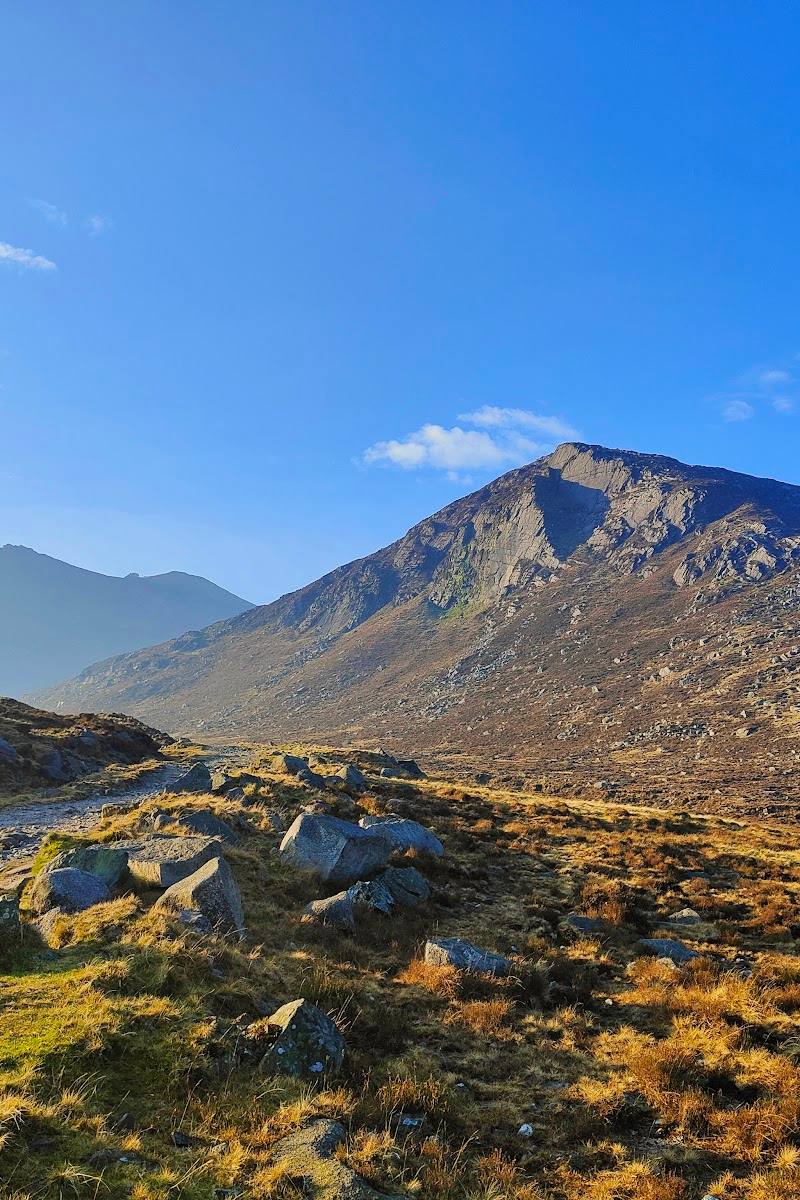
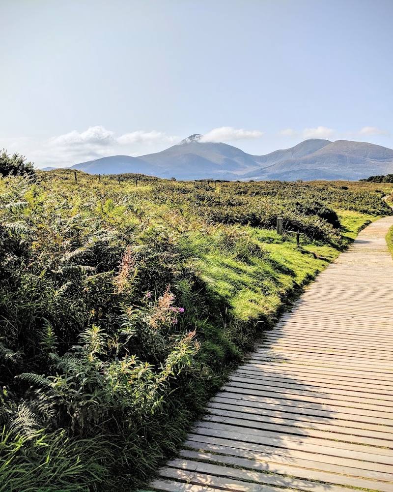
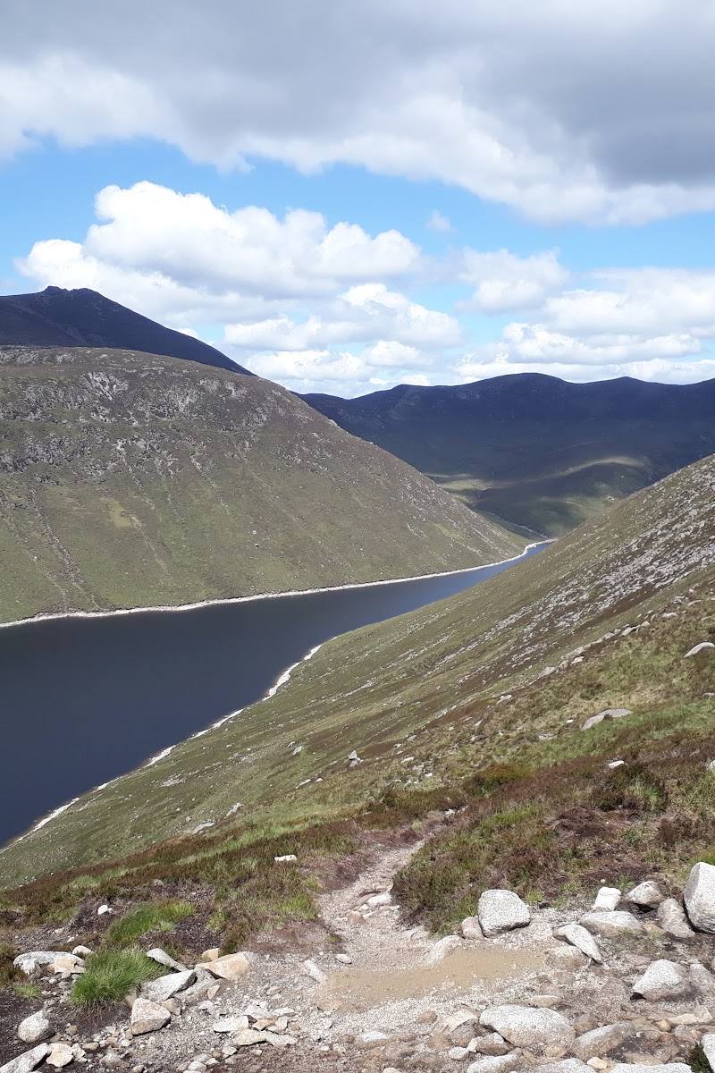
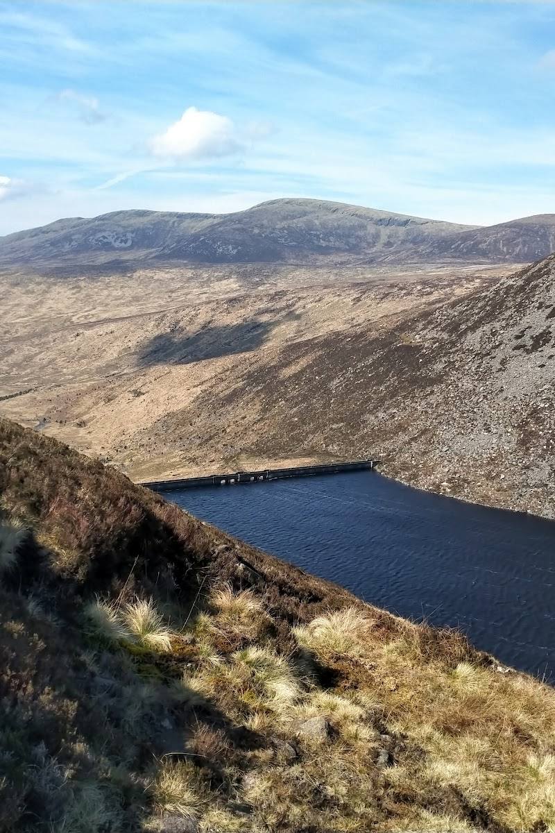
Ben Crom’s appeal is the meeting of open Mourne uplands and substantial reservoir engineering. The supplied research describes marked walks past dam walls and sections of the Mourne Wall, giving a visit more to explore than a waterside viewpoint alone.
Dramatic · Wild
Find your way
Open mapMourne Mountains, near Newry, County Down, Northern Ireland
Opening map…
Know this place a little better?
The experience
Explore the reservoir setting on a walk, taking in the dam structures and views across the surrounding Mourne uplands. Routes described in the supplied research connect Ben Crom with Silent Valley; confirm current access and conditions before travelling.
Things to do
Walk the route between Ben Crom and Silent Valley
Explore the described marked walking routes between the two reservoirs, passing dam walls, sections of the Mourne Wall and upland moorland. Confirm current access and conditions before setting out.
Take in the dam and reservoir landscape
Pause to view the reservoir infrastructure in its upland setting. The supplied source describes routes passing the dam walls; it does not establish access to restricted structures.
Make a day of it
Quick escape · 1–2 hours
Quick reservoir walk
- 01
Check current access and conditions before setting out.
- 02
Explore a section of the described walking route and take in the reservoir and its dam wall.
- 03
Return by your chosen route; the supplied research does not confirm a specific short circuit.
Half day · Half day
Walk between the reservoirs
- 01
Check access, route conditions and any site restrictions before travelling.
- 02
Follow the described route between Ben Crom and Silent Valley reservoirs.
- 03
Notice the dam walls, sections of the Mourne Wall and the surrounding upland moorland.
Verified history
The supplied source describes Ben Crom as part of the Mourne Mountains reservoir system and reports that it was built between 1953 and 1957. It says Silent Valley was built between 1923 and 1933 for the Belfast water scheme, and that the Binnian Tunnel links the Annalong catchment to the system. It identifies Northern Ireland Water as the current manager.
Hidden details
The Mourne Wall beside the reservoirs — The supplied research notes that sections of the Mourne Wall can be seen along walking routes in the area. Check the route and current access before setting out.
When to go
· Not established by the supplied research; check the forecast and local conditions before visiting.
The supplied research does not identify seasonal highlights. Conditions on upland walking routes can vary, so check locally before setting out.
Check the forecast and route conditions before visiting. The supplied research does not provide specific weather or safety guidance.
The route
- surface
- The supplied research describes a tarmac road between the reservoirs; other route surfaces are not confirmed.
- waymarking
- Marked walking routes are described in the supplied research; current waymarking condition is not confirmed.
- Ben Crom Reservoir
- Dam walls
- Sections of the Mourne Wall
- Upland moorland
What to look for
Look for the reservoir’s dam wall, sections of the Mourne Wall and the contrast between the water infrastructure and the surrounding upland moorland.
The story
Industry
Best time to go
Check conditions before setting out; the supplied research does not identify a best season.
No specific season or time of day is established by the supplied research. Check local conditions before setting out.
How long to spend
1–2 hours, Half day
Perfect for
Walkers · Photographers · History lovers
Before you go
Address
Google rating
Practical information
Opening & access
Visitor walking routes are described in the supplied research, including a marked route between Ben Crom and Silent Valley reservoirs. Exact access arrangements and current conditions are not confirmed here; check before visiting and follow any site restrictions. Access arrangements are unconfirmed. Check before visiting; do not enter private land or restricted structures.
Check before visiting
Parking
Check before visiting; parking arrangements are not confirmed in the supplied research.
Check before visiting
Toilets
Check before visiting
Check before visiting
Food & drink
Check before visiting
Check before visiting
Dogs
Check before visiting
Check before visiting
Accessibility
Walking routes are described, including a tarmac road between the reservoirs. The research does not confirm route accessibility, gradients or facilities; check conditions and suitability before visiting.
Check before visiting
Cost
Check before visiting
Check before visiting
Water
Reservoir
Gallery
Place photographsKeep exploring
Around Ben Crom Reservoir
Within 50 km · approximate straight-line distances