6.0
Wildland
Half day
Time
Free
Cost
Wild
Feel
Why it's Wildland
6.0A high, open sweep of moorland above Buxton, where a path to the trig point opens out to views from the Cheshire Plain towards Wales, and east across the Peak District.
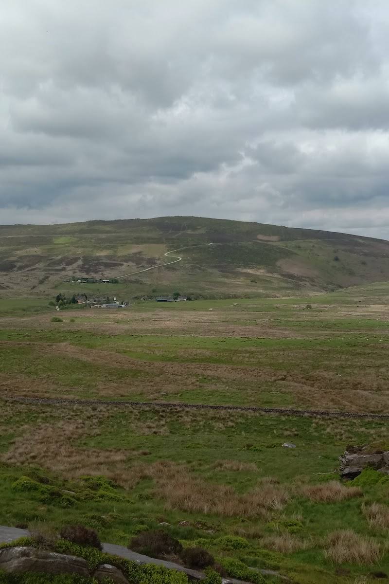
Axe Edge Moor earns its place for the changing scale of its views and the feeling of crossing open, often damp upland rather than simply visiting a viewpoint. The walk reaches a trig point and passes Drystone Edge, with the source describing the moor as the headwaters of several rivers.
Wild · Big-sky
Find your way
Open mapNear Buxton, Derbyshire, England
Opening map…
Know this place a little better?
The experience
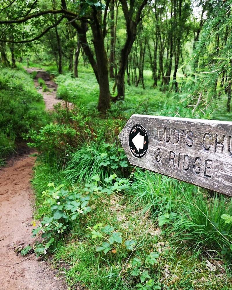
Walk from Flash Bar towards Axe Edge End, cross open moorland by Drystone Edge and continue to the trig point for broad views. Expect exposed conditions and damp or boggy ground on parts of the route.
Things to do
Pause at the brow above Axe Edge End
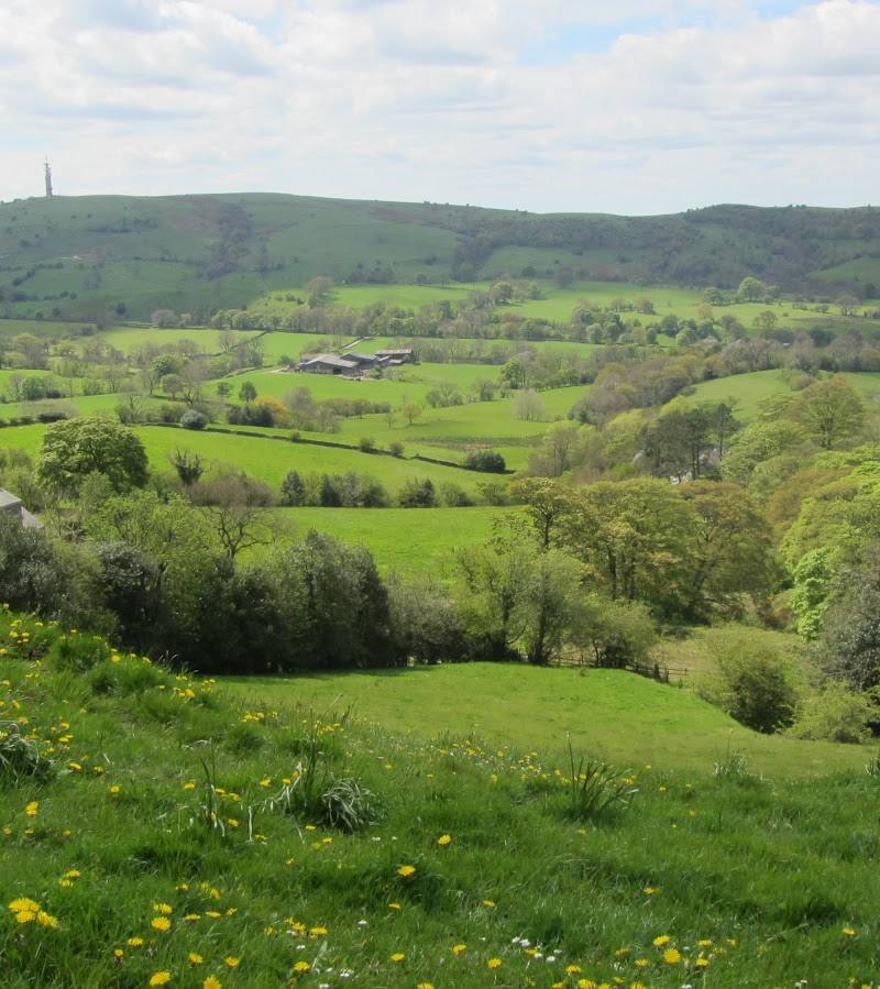
Take in the western panorama. The walk account identifies Croker Hill, Shutlingsloe and Bosley Cloud, with the folly on Mow Cop and distant Welsh hills visible on a good day.
Cross Drystone Edge
Follow the described moorland path towards the north end of Drystone Edge and look for the Cat and Fiddle mast and the ridge towards Shining Tor.
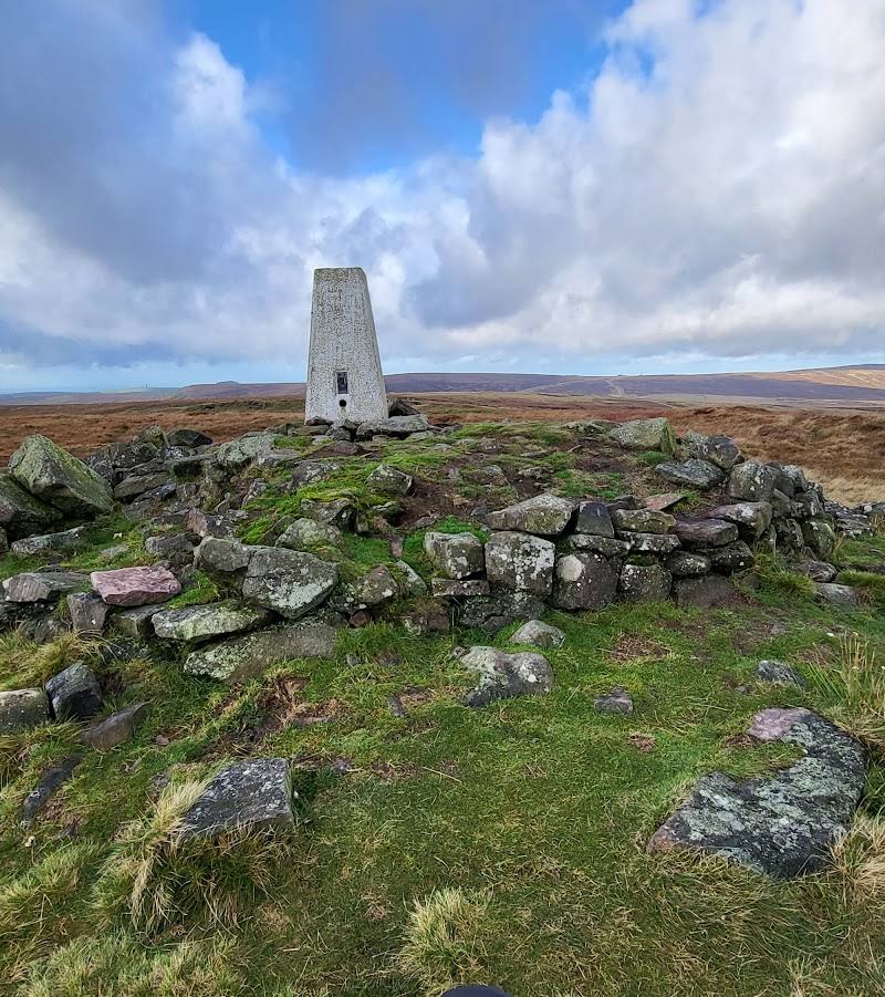
Reach the Axe Edge trig point
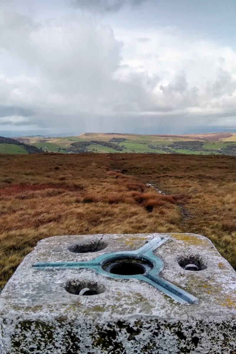
Continue across damp moorland to the trig point for the eastern panorama, including Chrome Hill and the surrounding Derbyshire landscape.
Make a day of it
Quick escape · 1–2 hours
Quick escape: reach the first western viewpoint
- 01
Start from Flash Bar, following the described approach towards Quarnford Lodge, Highfield Farm and Axe Edge End.
- 02
Take the path before the cottages and pause at the brow for the western view.
- 03
Return by the same approach; the source does not give a measured distance or time for this shorter option.
Half day · Half day
Make a half day of it: cross the moor to the trig point
- 01
Follow the approach from Flash Bar to Axe Edge End.
- 02
Continue via the track and Drystone Edge, then cross the moor towards the trig point.
- 03
Take time for the western and eastern panoramas, then return using a mapped route and check access restrictions before departure.
Verified history
The supplied walk account says that a substantial part of the walk became accessible under the Countryside and Rights of Way Act 2000. It also describes restricted open-access land in the area to protect moorland birds. These are access-context details, not a broader history of the moor.
Hidden details
The moor is a river source area — The walk account identifies Axe Edge Moor as the source area for the Dove, Manifold, Dane, Wye and Goyt rivers.
Look for the restricted-access notice — The route account describes a sign explaining that a large area is restricted open access to protect moorland birds, with dogs permitted on paths. Follow current signs and rules on the ground.
When to go
· A clear, calm morning is a sensible choice for visibility and a quieter walk; this is practical guidance rather than a source-confirmed seasonal wildlife or light highlight.
The supplied account records a mid-October walk but does not establish a preferred season. Views depend on visibility, while the route includes damp ground and exposed moorland.
The source describes the visit as very cold despite a forecast real-feel temperature of 4°C, and notes damp or boggy paths. Check the forecast, wear suitable footwear and be prepared for wind and rapid changes in conditions.
The route
- surface
- Road verge, lane, track and moorland paths; some sections are described as boggy or damp.
- difficulty
- Moderate to strenuous: the account describes a steep lane and damp or boggy moorland paths. This is an editorial estimate, not a sourced grade.
- waymarking
- Check before visiting
- route shape
- The source describes a walk from Flash Bar towards Axe Edge End and the trig point, but the supplied excerpt does not establish a complete return route or loop shape.
- start point
- Flash Bar beside the A53, near the former Travellers Rest pub.
- parking start
- The account starts at Flash Bar but does not confirm parking availability or permission. Check before visiting.
- shorter alternative
- Walk from Flash Bar towards Axe Edge End, stop at the first western viewpoint and return the same way. The source does not provide a measured distance or duration.
- Western panorama from near Axe Edge End
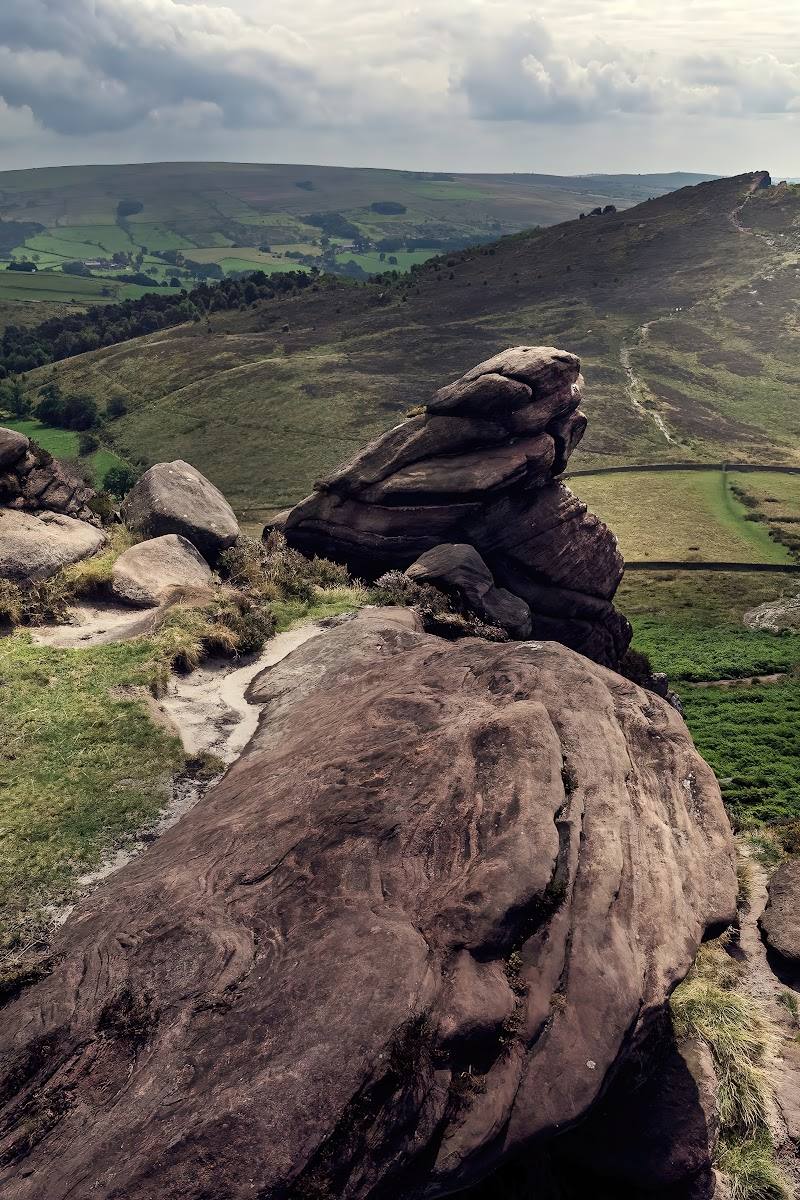
- Moorland crossing at Drystone Edge
- Axe Edge trig point
- Views towards Chrome Hill and the Derbyshire uplands
- On a clear day, views across the Cheshire Plain towards Wales
What to look for
Look west from near Axe Edge End for Croker Hill’s radio mast, Shutlingsloe, Bosley Cloud and, on a clear day, hills in Wales. From Drystone Edge, look towards the Cat and Fiddle and the ridge north to Shining Tor. Near the trig point, the source describes views east towards Chrome Hill and the surrounding Derbyshire landscape.
Best time to go
A clear, calm day offers the best chance of far-reaching views. The supplied walk account describes a mid-October visit, but does not establish a uniquely best season.
Choose a clear, settled day for the widest views; start early if you want a quieter walk. The exposed moor can feel cold and windy, so check the forecast and be prepared for changing conditions.
How long to spend
Half day
Perfect for
Walkers · Photographers
Before you go
Address
Google rating
Practical information
Opening & access
A walking approach from Flash Bar is described via the lane to Axe Edge End and paths across the moor. Some land is restricted open access to protect moorland birds; keep to paths where required. Check current access and conditions before setting out.
Check before visiting
Parking
The supplied walk account starts at Flash Bar, beside the A53 and the former Travellers Rest pub. Confirm parking availability and current arrangements before visiting.
Toilets
Check before visiting
Check before visiting
Food & drink
The source mentions a tiny store at Flash Bar; check whether it is open. Other food options are not verified.
Check before visiting
Dogs
The walk account reports restricted open-access land to protect moorland birds, with dogs allowed on paths but not off them in restricted areas. Check local signs and current rules.
Check before visiting
Accessibility
The described walk includes a steep lane, uneven and boggy moorland paths, and exposed upland terrain. It is not described as an accessible route. Check conditions and access restrictions before setting out.
Check before visiting
Cost
Free
Water
River headwaters
Gallery
Place photographs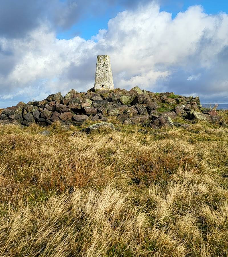
Keep exploring
Around Axe Edge Moor
Within 50 km · approximate straight-line distances