Macclesfield Forest, near Langley, Cheshire
Ridgegate Reservoir
Reservoir
Place photograph
5.5
Wildland
Half day
Time
Check
Cost
Peaceful
Feel
Why it's Wildland
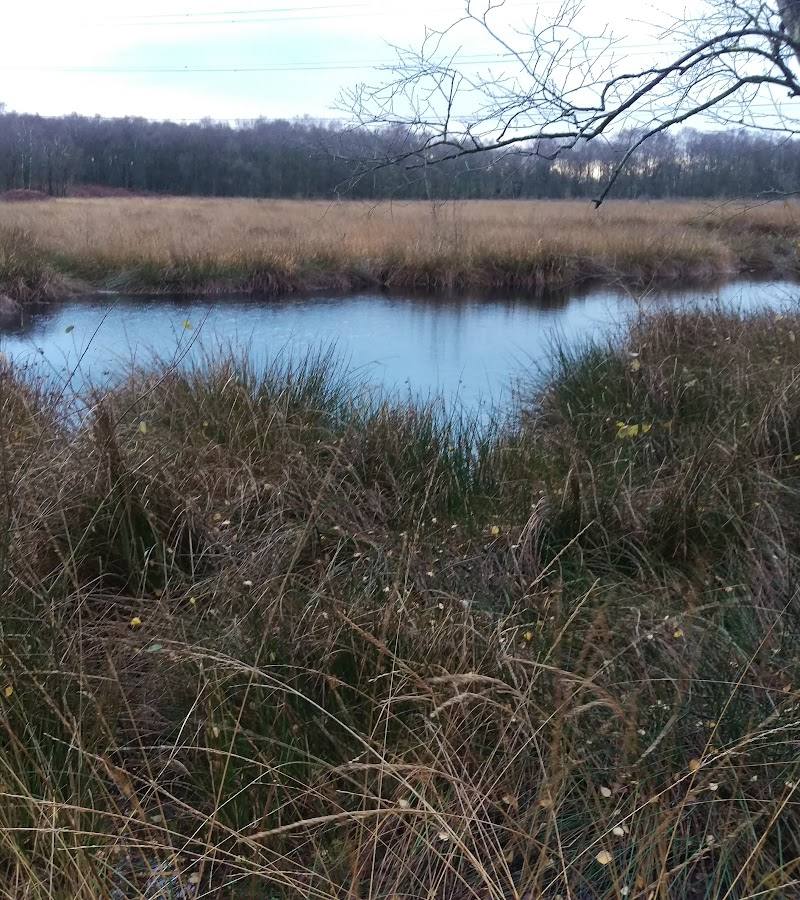
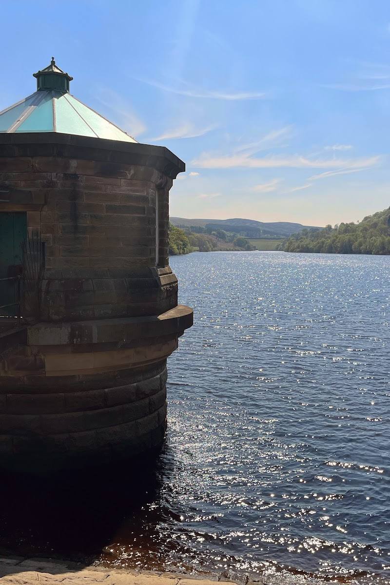
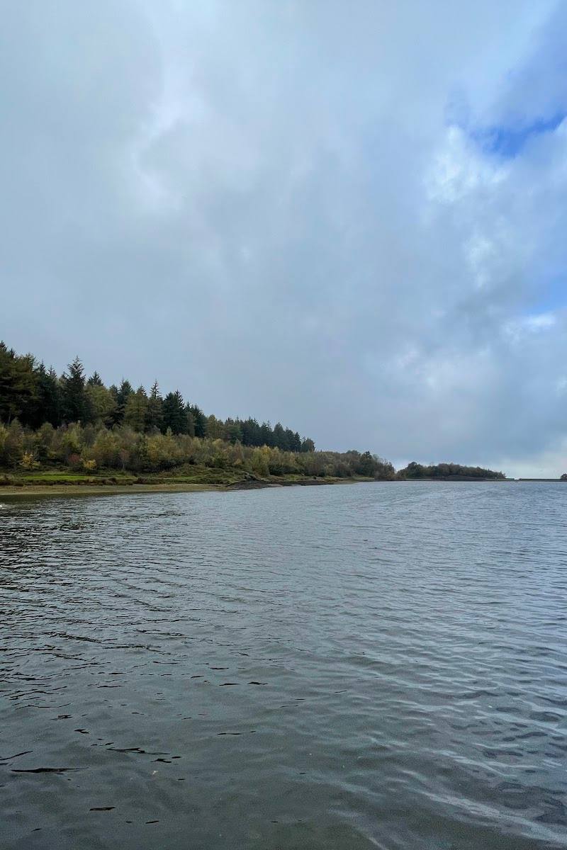
5.5Ridgegate is a working reservoir on the edge of Macclesfield Forest, set among wooded slopes and a wider landscape of reservoirs. It works best as part of a walk into the surrounding forest rather than as a guaranteed full circuit of the water: a reported closure affected part of the south-side path and dam wall.
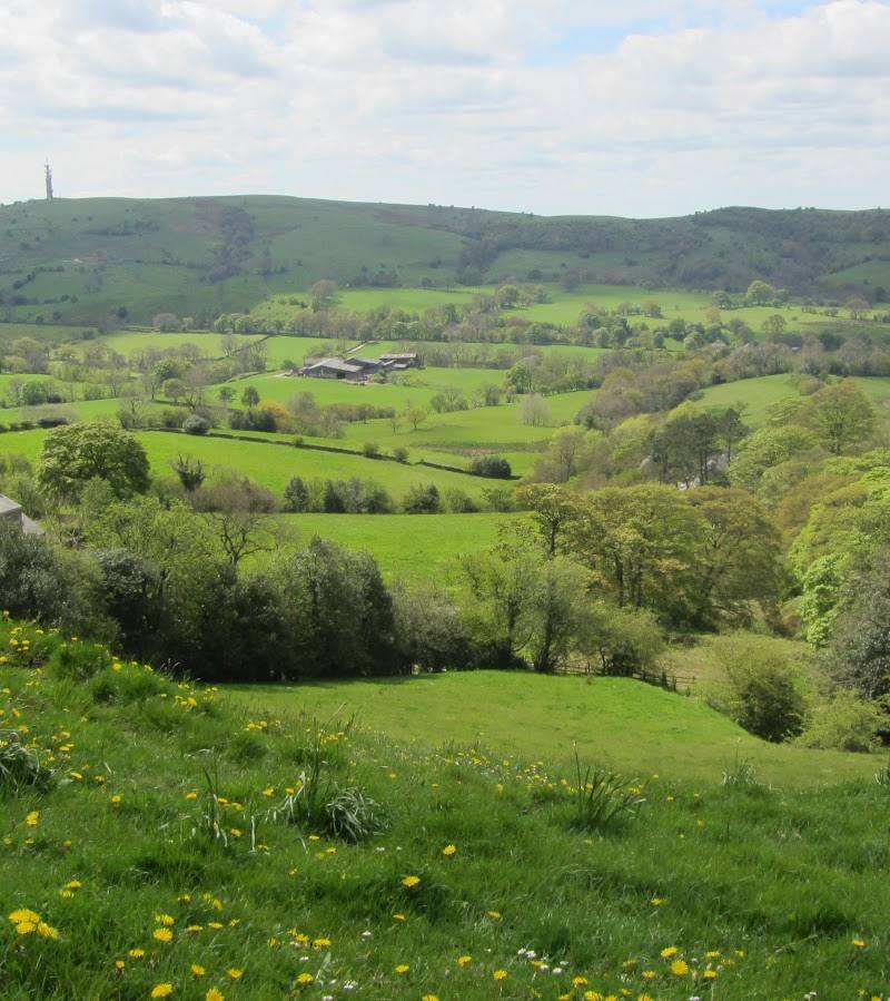
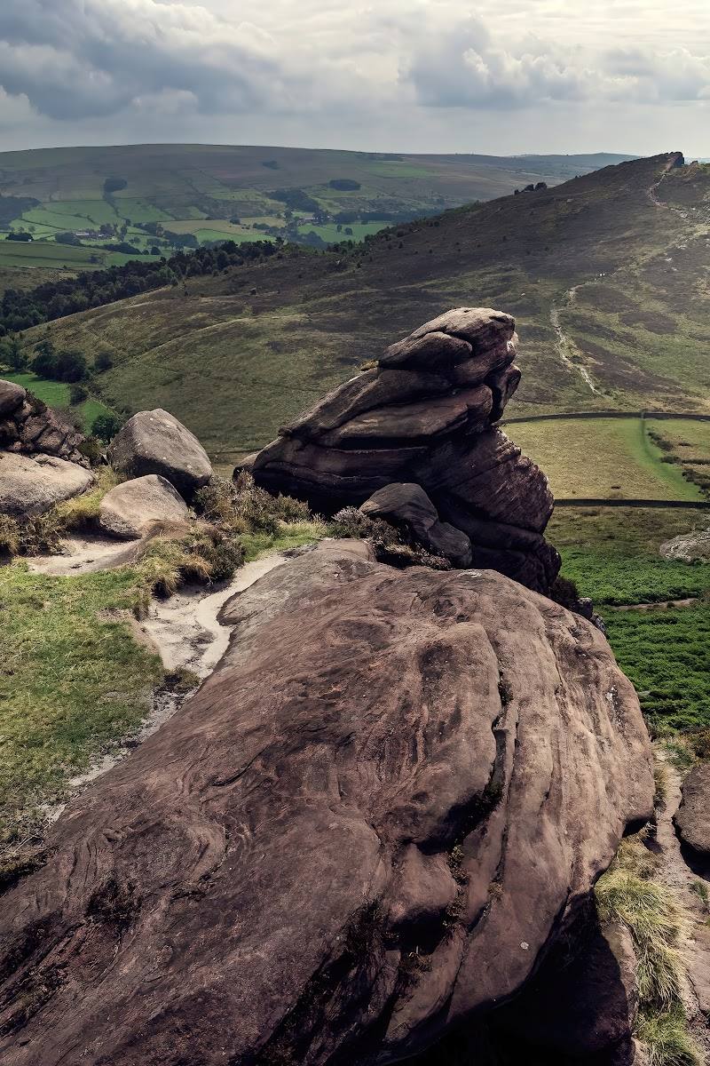
The appeal is the meeting of reservoir, working forest and open views towards the Cheshire countryside, with a substantial walking route linking the landscape together. Route conditions matter here: a section beside the reservoir was reported closed, so check the latest access information before planning a circuit.
Peaceful · Wild
Find your way
Open mapMacclesfield Forest, near Langley, Cheshire
Opening map…
Know this place a little better?
The experience
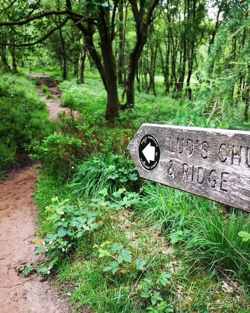
Use Ridgegate as a starting point for exploring the reservoir and the broader Macclesfield Forest landscape. A published AllTrails route links Ridgegate with the forest in a 5.7-mile loop, estimated at 2.5–3 hours and rated moderate. Its exact conditions and access may change, so check the route and closures before going.
Things to do
Walk the Ridgegate and Macclesfield Forest loop
A mapped 5.7-mile loop linking the reservoir with the surrounding forest. It is described as moderate, but route conditions can include a steep incline, boggy ground and road walking. Check for current closures before starting.
2.5–3 hours
Take in the forest and reservoir views
Explore the wider forest-and-reservoir landscape on an open, currently verified path. A source describes the area as a mix of reservoirs and forest; check route conditions locally before committing to a circuit.
Make a day of it
Quick escape · Check current access and allow time to suit the route available.
A short reservoir-side look
- 01
Check current path notices before you go, especially for the reported closure on the south side and dam wall.
- 02
Use a currently open route to visit the reservoir edge and return the same way; do not assume a complete circuit is open.
Half day · 5.7 miles; estimated 2.5–3 hours
Ridgegate Reservoir and Macclesfield Forest loop
- 01
Check the current route and closure information before setting off.
- 02
Follow the Ridgegate Reservoir and Macclesfield Forest loop using up-to-date route guidance.
- 03
Expect a moderate walk; reports describe a steep incline, with boggy ground and some road walking possible.
Verified history
The supplied route source describes Macclesfield Forest as a working forest with four reservoirs, two of which provide drinking water to Macclesfield, and says the area is believed to have been occupied during the Bronze Age. The available sources do not substantiate a specific construction date or detailed history for Ridgegate Reservoir itself.
Hidden details
Check the south-side path before planning a full circuit — A route listing reports that the section along Ridgegate Reservoir’s south side and dam wall was closed in August 2025. The status may have changed; confirm current notices before relying on a circuit.
When to go
April · May · June · September · October · November · Weekdays are suggested for a quieter visit; no specific time of day is verified.
The source row suggests April to June for spring growth and birdsong, and September to November for autumn colour. These are seasonal expectations, not confirmed wildlife or foliage forecasts.
Check the forecast and current path conditions before walking. Reports mention boggy ground; conditions may be worse after rain.
The route
- ascent
- 659 ft
- surface
- Partially paved; boggy ground and road walking are reported on user routes. Conditions may vary.
- distance
- 5.7 miles
- duration
- 2.5–3 hours estimated
- difficulty
- Moderate
- route shape
- Loop
- start point
- Ridgegate Reservoir area; confirm the current route start and access before setting out.
- parking start
- Check before visiting. A user account describes parking on the road near Ridgegate Reservoir; current provision is not confirmed.
- Ridgegate Reservoir
- Macclesfield Forest
- Views across the surrounding countryside
Worth pairing with
Macclesfield Forest and its other reservoirs
Extend the outing into the wider forest landscape, which sources describe as containing four reservoirs. Check individual path access and closures before planning a longer walk.
What to look for
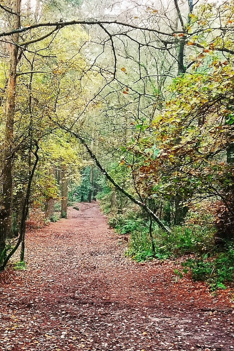
Notice how the reservoir sits within the surrounding forest landscape, and look for changing views as the route climbs away from the water. The supplied sources do not verify particular wildlife sightings, so treat claims of specific species as unconfirmed.
The story
Working water-supply landscape. The supplied sources state that Macclesfield Forest contains four reservoirs and that two provide drinking water to Macclesfield; they do not verify Ridgegate-specific construction dates or a detailed history.
Best time to go
Spring and early summer for fresh woodland colour and birdsong; autumn for changing foliage. These are seasonal suggestions from the supplied source row, not guarantees of wildlife sightings or peak conditions.
For quieter conditions, the source row recommends weekdays. Spring and early summer are suggested for woodland colour and birdsong; autumn for foliage. Check the forecast and current path conditions, especially after wet weather.
How long to spend
Half day
Perfect for
Walkers · Photographers · Wildlife lovers
Practical information
Opening & access
A walking route is described around Ridgegate Reservoir and Macclesfield Forest, but access conditions may change. A source reports that part of the path along the reservoir’s south side and dam wall was closed in August 2025. Check current notices and routes before setting out; do not assume the closed section has reopened. Access arrangements are unconfirmed. Check before visiting; do not enter private land or restricted structures.
Check before visiting
Parking
Parking availability and current arrangements: Check before visiting. A source describes roadside parking near Ridgegate Reservoir, but does not verify current provision.
Check before visiting
Toilets
Check before visiting.
Check before visiting
Food & drink
Check before visiting.
Check before visiting
Dogs
Check before visiting.
Check before visiting
Accessibility
A route source describes parts of the trail as partially paved, while a user report notes a steep incline and another mentions boggy ground and road walking. Do not assume the route is suitable for wheelchair users or that conditions are consistent; check current route details before setting out.
Check before visiting
Cost
Check before visiting
Check before visiting
Water
Reservoir
Gallery
Place photographsKeep exploring
Around Ridgegate Reservoir
Within 50 km · approximate straight-line distances