6.8
Wildland
1–2 hours
Time
Check
Cost
Dramatic
Feel
Why it's Wildland
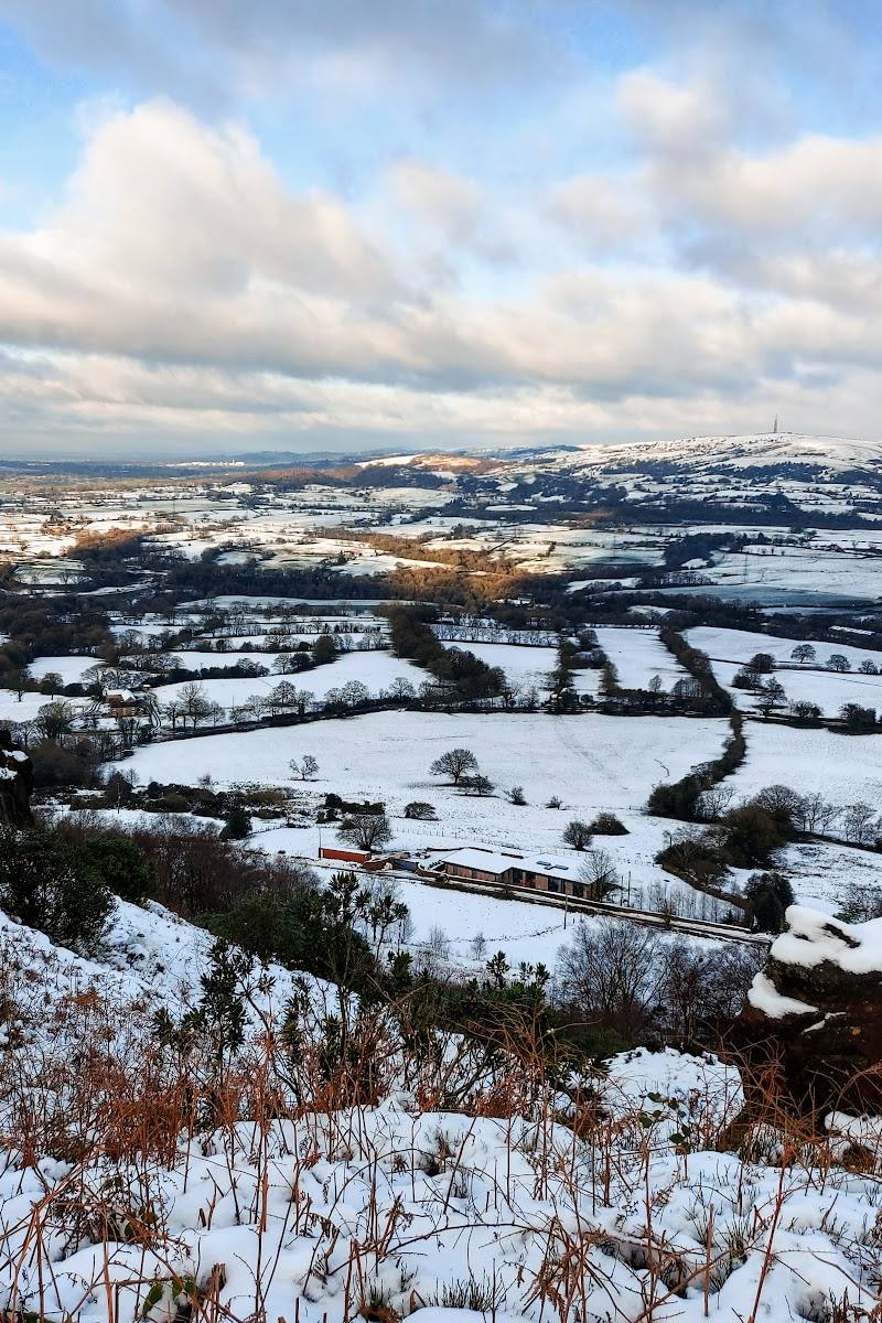
6.8A gritstone summit above the Cheshire Plain, reached by woodland paths that open onto moorland. At the top, a trig pillar and viewing indicator mark the wide-ranging prospect.
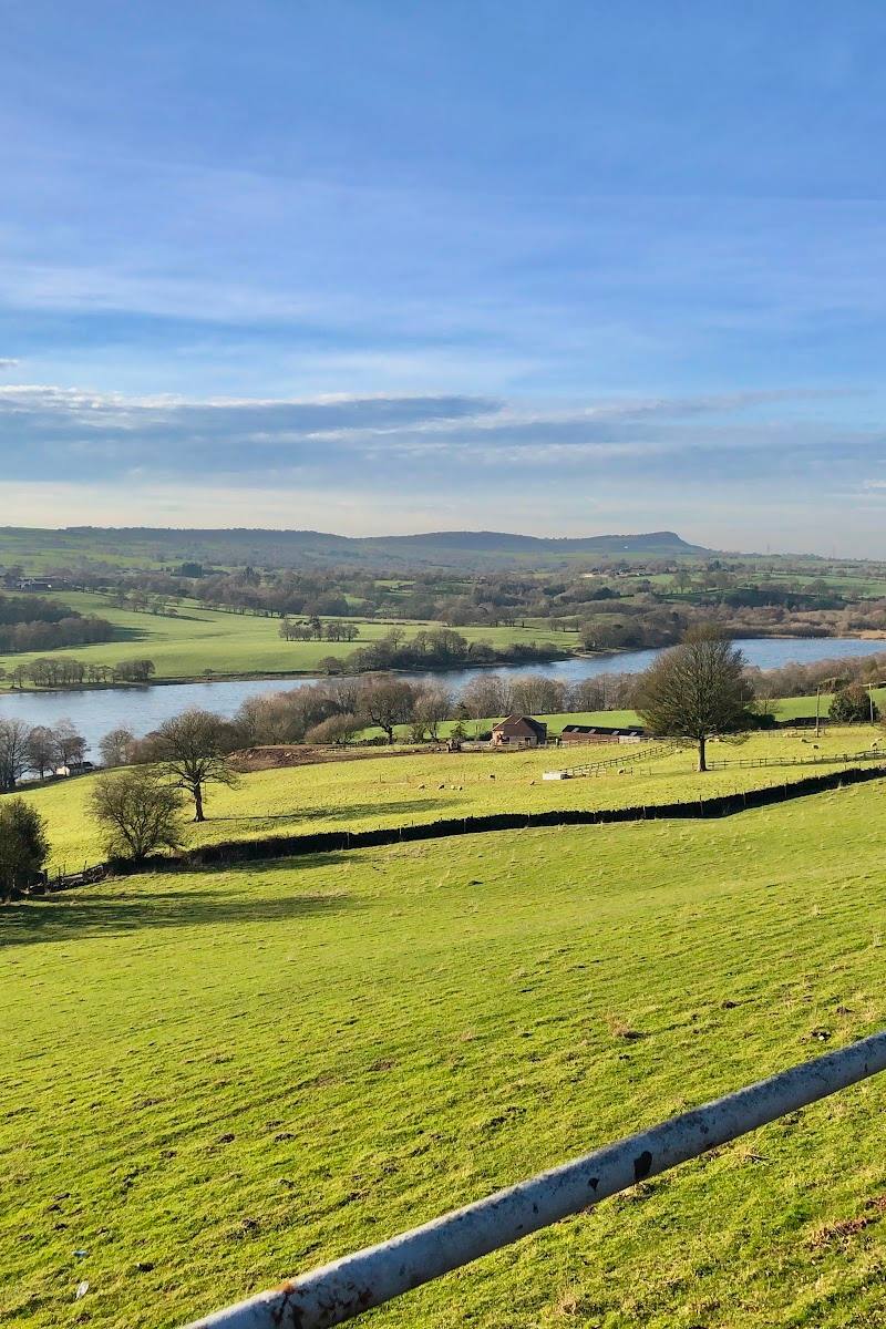
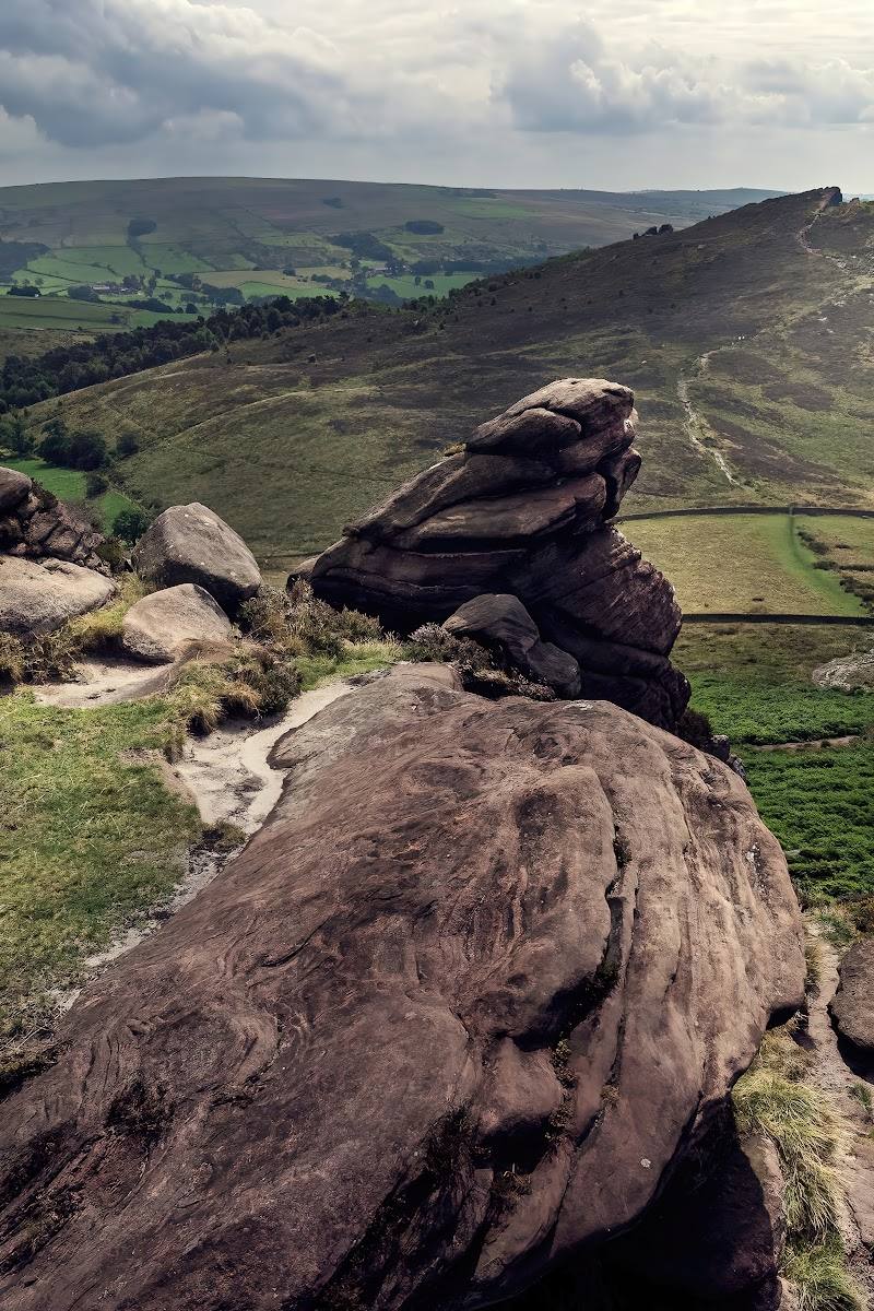
The Cloud earns its place for the contrast packed into a short climb: woodland, steep steps or a gentler ascent, open moorland and a summit panorama. The trig point and viewing indicator give the top a clear destination, while the approach makes the view feel earned.
Dramatic · Big-sky · Wild
Find your way
Open mapTimbersbrook, near Congleton, Cheshire
Opening map…
Know this place a little better?
The experience
Allow around 1–2 hours for the summit walk from Timbersbrook. Choose the steps for a steeper climb or the gentler route via the Gritstone Trail; at the top, find the trig pillar and viewing indicator and take in the Cheshire Plain.
Things to do
Climb from Timbersbrook
Take the steep steps or the gentler slope via the Gritstone Trail; the two options meet further up the hill.
Check before visiting
Find the summit trig pillar and viewing indicator
Make these summit markers the destination of the climb, then look out across the Cheshire Plain.
Notice the woodland-to-moorland change
As the path rises, the woodland opens into moorland; the council page notes bilberries and bracken on the ascent.
Make a day of it
Quick escape · About 1–2 hours; confirm timing and conditions locally.
Quick Escape: Timbersbrook to the summit
- 01
Start at Timbersbrook Car Park on Weathercock Lane.
- 02
Choose the steep steps or the gentler ascent via the Gritstone Trail; the routes meet higher up.
- 03
Continue to the summit for the trig pillar, viewing indicator and views across the Cheshire Plain.
- 04
Return by a suitable path; check conditions and route choices before setting off.
Verified history
The supplied source describes The Cloud, also called Bosley Cloud, as a gritstone rise near Congleton on the Cheshire–Staffordshire boundary, cared for by the National Trust and crossed by a network of footpaths. It identifies the summit trig pillar and viewing indicator as features visitors can see. No further historical account is established by the supplied sources.
Hidden details
The gentler way up — The steep steps are not the only described ascent: the Town Council source says a gentler slope via the Gritstone Trail meets the steps route higher up.
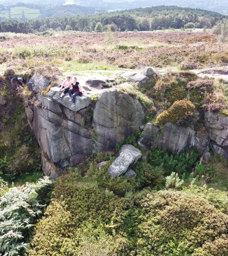
Flat rocks at the summit — The council page notes flat rocks at the top as a place to pause and rest.
When to go
· Choose a clear day for the summit views; no specific time of day is established by the supplied sources.
The Town Council describes the walk as suitable for a post-work summer picnic or a crisp winter stroll, but the sources do not establish particular peak months.
Check weather and path conditions before setting out, especially for the steep ascent and exposed summit.
The route
- stiles
- Check before visiting
- surface
- Woodland path, steps and rocky terrain are mentioned in supplied sources; full-surface conditions are not established.
- distance
- The Town Council source does not give a distance for the Timbersbrook summit walk. A separate AllTrails listing describes an 8.1-mile Congleton and The Cloud Circular; do not assume it is the short Timbersbrook route.
- duration
- Check before visiting
- difficulty
- The summit approach includes steep steps or a gentler alternative; overall difficulty is not specified by the Town Council.
- waymarking
- Check before visiting
- route shape
- Summit walk with multiple paths and return options; exact route shape not specified.
- start point
- Timbersbrook Car Park / picnic site, Weathercock Lane, Timbersbrook.
- parking start
- Town Council source gives postcode CW12 3PP and OS grid reference SJ 895 627 for Timbersbrook car park. Check current parking arrangements.
- Steep 136-step climb or gentler ascent via the Gritstone Trail
- Woodland opening onto moorland
- Summit trig pillar and viewing indicator
- Views across the Cheshire Plain
Worth pairing with
Coach and Horses
The Town Council page mentions this pub as not far from the route. Check current opening and food arrangements before making it part of your day.
What to look for
At the summit, look for the trig pillar and viewing indicator. On the way up, notice the change from woodland to moorland, with bilberries and bracken described along the ascent.
Best time to go
The supplied source describes summer picnics and winter walks; choose a clear day for the views and check conditions before travelling.
A clear day gives the best chance of enjoying the summit views. The supplied council source suggests a summer picnic or a crisp winter stroll.
How long to spend
1–2 hours
Perfect for
Walkers · Photographers
Before you go
Address
Google rating
Practical information
Opening & access
A network of footpaths climbs to the summit from Timbersbrook. The Town Council describes a route from Timbersbrook Car Park, with a steep stair option or a gentler slope. Check current access and conditions before setting out.
Check before visiting
Parking
Timbersbrook Car Park, Weathercock Lane, postcode CW12 3PP; check current parking arrangements before visiting.
Check before visiting
Toilets
Check before visiting
Check before visiting
Food & drink
The Town Council source mentions the Coach and Horses pub nearby; check opening and food arrangements before visiting.
Check before visiting
Dogs
Check before visiting
Check before visiting
Accessibility
The described ascent includes 136 steps, a steep path and a gentler alternative. Accessibility of the full route is not established; check before visiting.
Check before visiting
Cost
Check before visiting
Check before visiting
Gallery
Place photographs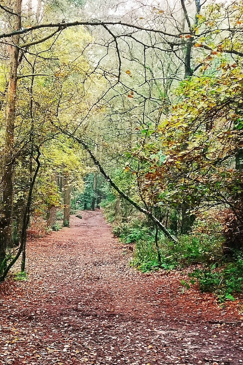
Keep exploring
Around The Cloud
Within 50 km · approximate straight-line distances