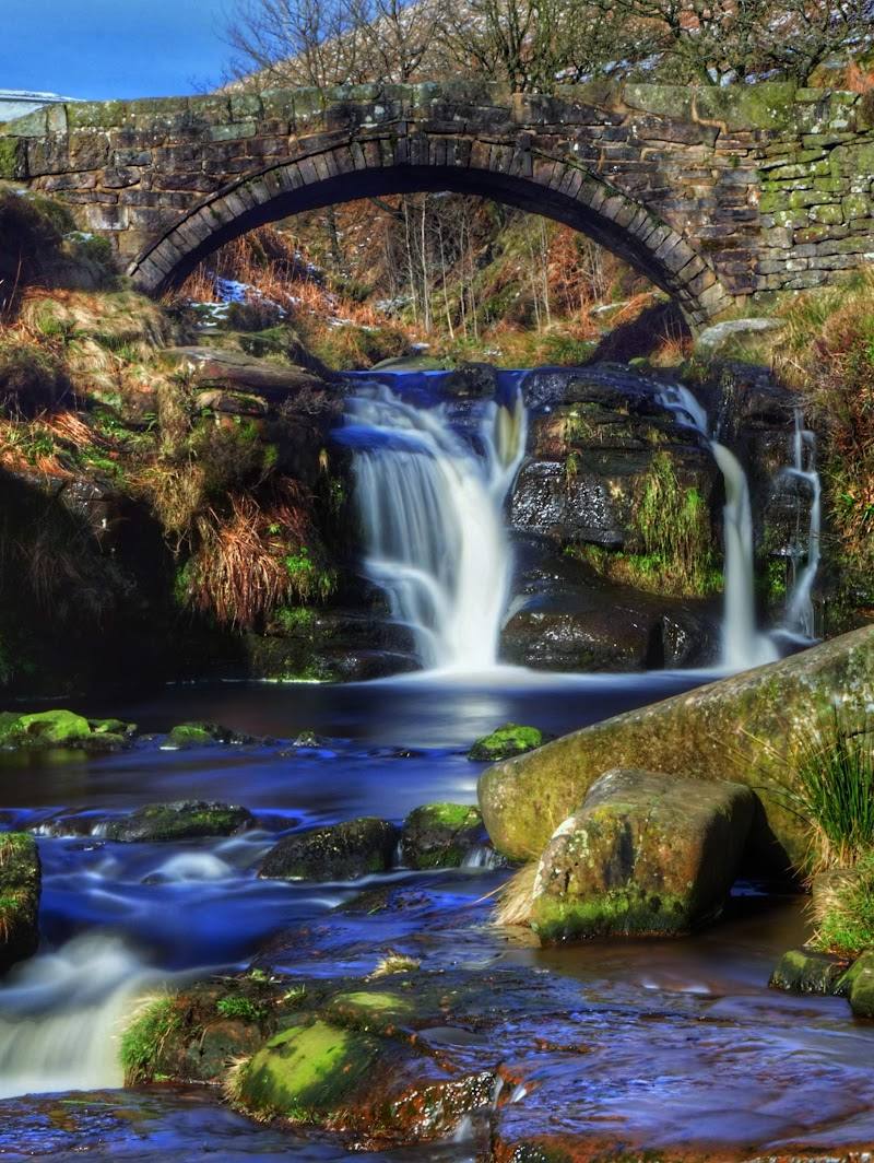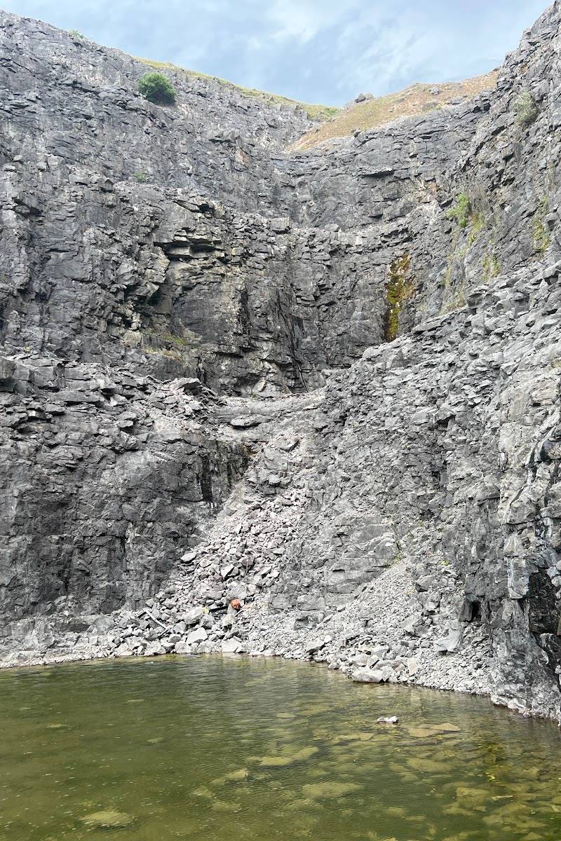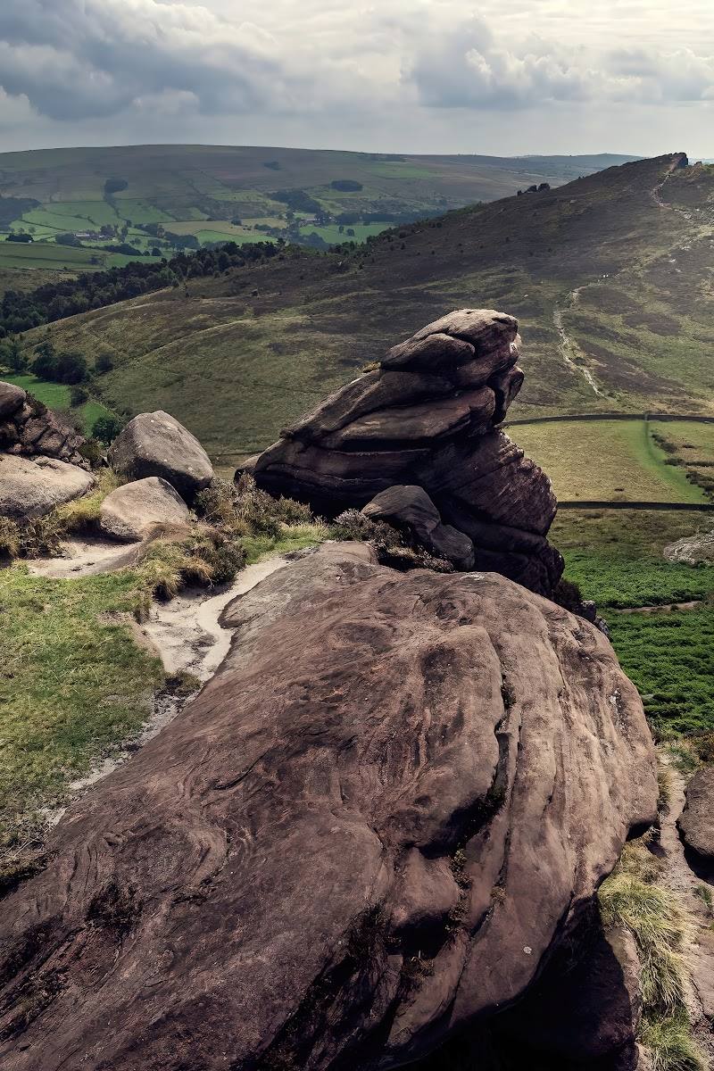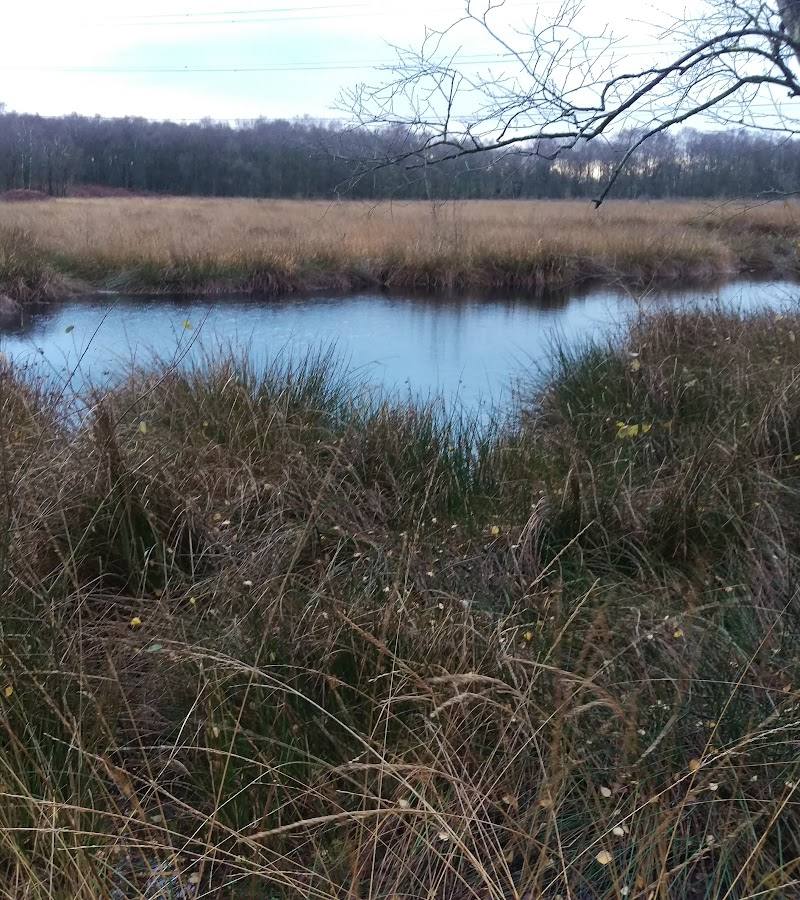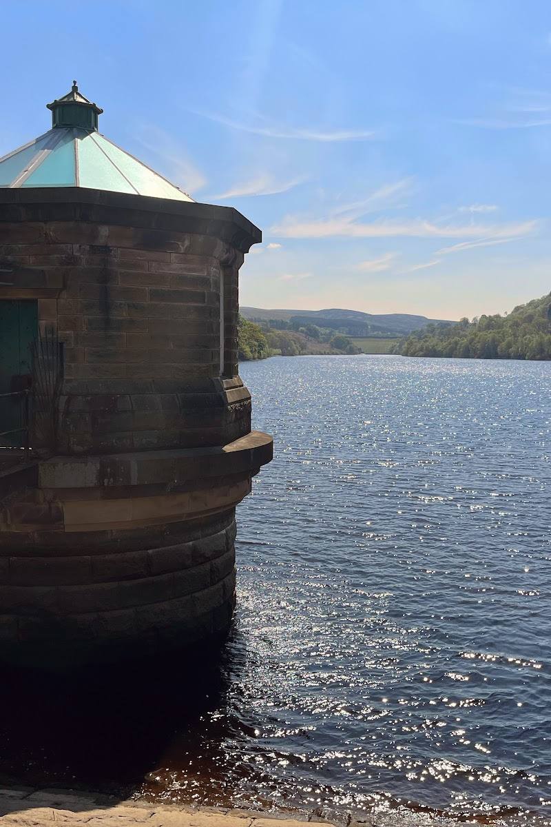
Goyt Valley, a few miles north-west of Buxton, Derbyshire, in the Peak District
Goyt Valley
Valley
Place photograph
7.0
Wildland
1–2 hours to a full day, depending on route
Time
Check
Cost
Peaceful
Feel
Why it's Wildland
7.0Two reservoirs sit beneath open moorland in this Peak District valley, where the lost hamlet of Goyt’s Bridge lies beneath the water and the ruins of Errwood Hall remain above it.
The Goyt Valley brings together two reservoirs, woodland, open moor and a tangible human history in one landscape. Its range of short, half-day and full-day walks makes it rewarding to explore beyond a roadside viewpoint.
Peaceful · Atmospheric · Big-sky · Wild
Find your way
Open mapGoyt Valley, a few miles north-west of Buxton, Derbyshire, in the Peak District
Opening map…
Know this place a little better?
The experience
Choose a short walk to Errwood Hall and St Joseph’s Shrine, follow a reservoir circuit, or make a longer day of the valley’s moorland paths and high viewpoints. On a clear day, Shining Tor rewards the climb with wide views across Derbyshire and Cheshire.
Things to do
Visit the ruins of Errwood Hall
Follow a short walk to the remains of the hall above Errwood Reservoir, one of the valley’s notable historic sites.
Part of a short walk
Find St Joseph’s Shrine
Include the shrine on a short circular walk with Errwood Hall; check the route guide for directions.
Part of a short walk
Walk beside the reservoirs
Choose a short or medium circuit around Fernilee and Errwood reservoirs, or a longer route linking both.
Under 4 miles or 4–8 miles, depending on route
Climb to Shining Tor
Take a medium or longer walk towards the summit for wide views over Derbyshire and Cheshire on a clear day.
Part of a 4–8-mile or longer walk
Explore the valley’s industrial and transport traces
Longer walks can follow the route of the old Cromford & High Peak Railway or pass the old paint mill at Goytsclough.
Part of a half-day or full-day walk
Make a day of it
Quick escape · Under 4 miles; allow a morning or afternoon
Quick escape: Errwood Hall and the shrine
- 01
Choose a short circular walk to the ruins of Errwood Hall and St Joseph’s Shrine.
- 02
Explore the remains and the surrounding woodland, then return by the selected route.
Half day · 4–8 miles; half day
Make a half day of it: reservoirs and moorland
- 01
Follow a medium-length route around the reservoirs or climb towards Shining Tor.
- 02
Pause at the valley’s reservoir-side viewpoints and explore the routes past the old paint mill at Goytsclough, where included in your chosen walk.
- 03
Check the route guide and conditions before setting out.
Full Wildland day · Over 8 miles; full day
The full Wildland day: over the moors and back
- 01
Choose a published long walk such as a route from Windgather Rocks to Shining Tor, or a route along the old Cromford & High Peak Railway.
- 02
Use the valley’s walk guides or GPX files to plan the route and navigation.
- 03
Allow for changing terrain and check conditions before you go.
Verified history
The valley’s history is visible in its landscape: the ruins of Errwood Hall stand above the reservoir, while the lost hamlet of Goyt’s Bridge is beneath the water. The official valley site also points visitors to the old paint mill at Goytsclough and routes following the old Cromford & High Peak Railway. The supplied sources do not establish further dates or detailed histories for these features.
Hidden details
A hamlet beneath the reservoir — The site of Goyt’s Bridge is now beneath the water, a reminder that the valley’s reservoirs changed more than its scenery.
St Joseph’s Shrine — The shrine can be included with Errwood Hall on a short circular walk; consult the valley’s route directions to find it.
When to go
April · May · June · September · Choose a clear day for the best chance of far-reaching views from Shining Tor; quieter conditions are not guaranteed.
The valley’s woodland and rhododendron shrubs provide spring colour, while clear conditions make the high viewpoints more rewarding. Rain can leave moorland paths boggy and grassy descents slippery.
Moorland routes can be boggy after rain, and some descents may be slippery. Check the forecast and route conditions; take suitable footwear.
Worth pairing with
Buxton
Pair a valley walk with a visit to nearby Buxton; the tourism guide highlights its spa heritage and historic Crescent.
New Mills and the Torrs
A worthwhile broader day-trip pairing for riverside and industrial heritage: the tourism itinerary describes the Torrs gorge, Millennium Walkway and Torrs Riverside Park.
What to look for
Look for the ruins of Errwood Hall above Errwood Reservoir, the site of St Joseph’s Shrine, and traces of the valley’s former settlement and industrial past. Goyt’s Bridge hamlet is now beneath the reservoir.
The story
Errwood Hall, the submerged hamlet of Goyt’s Bridge, and the valley’s reservoir and industrial heritage
Best time to go
Spring for the woodland and rhododendron colour; choose a clear day for the broad views from Shining Tor.
A clear day gives the best chance of expansive views from Shining Tor. Spring brings colour to the woodland and rhododendron shrubs; expect boggy or slippery ground after rain.
How long to spend
1–2 hours to a full day, depending on route
Perfect for
Walkers · Photographers · Wildlife lovers · Dogs · History lovers
Before you go
Practical information
Opening & access
The valley has walking routes, reservoir circuits and access to sites including Errwood Hall and Shining Tor. Check current access, route conditions and any restrictions before visiting.
Check before visiting
Parking
A route source identifies Street car park beside Errwood Reservoir; parking charges and current availability: Check before visiting.
Check before visiting
Toilets
Check before visiting
Check before visiting
Food & drink
Check before visiting
Check before visiting
Dogs
A route source describes the circular walk as dog-friendly; check current local rules and signage before visiting.
Check before visiting
Accessibility
Some reservoir-side routes are described as easy, but longer hill routes include steep, uneven and potentially boggy sections, steps and gates. Check route details and conditions before setting out.
Check before visiting
Cost
Check before visiting
Check before visiting
Water
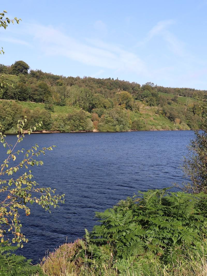
Reservoirs and river
Gallery
Place photographs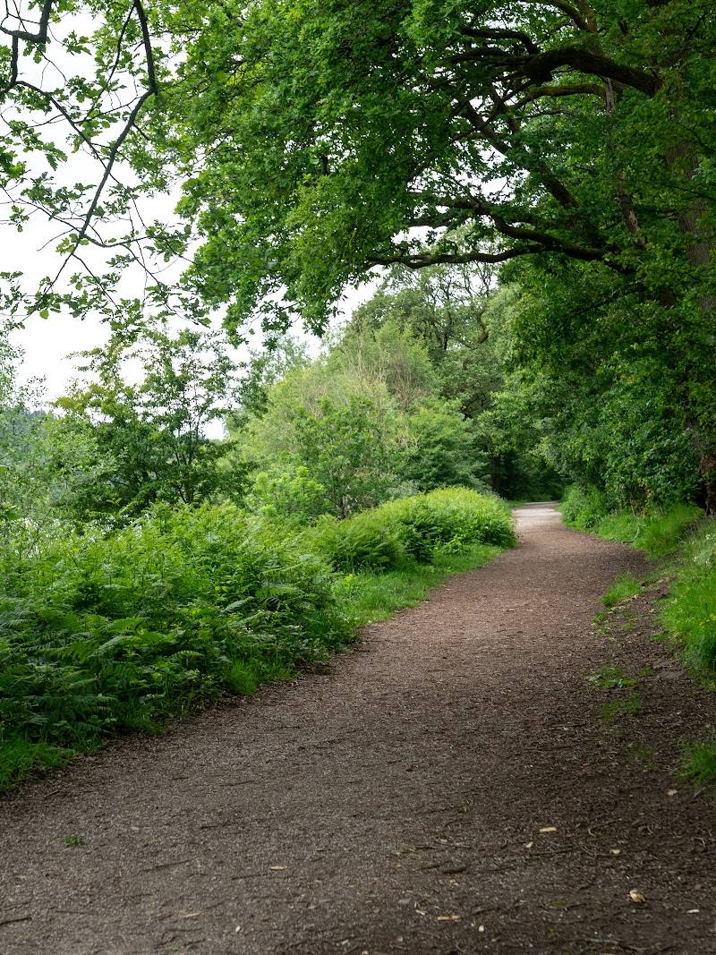
Keep exploring
Around Goyt Valley
Within 50 km · approximate straight-line distances