Macclesfield, Cheshire
Macclesfield Forest
Forest recreation landscape
Place photograph
6.4
Wildland
1–2 hours to Half day
Time
Check
Cost
Peaceful
Feel
Why it's Wildland
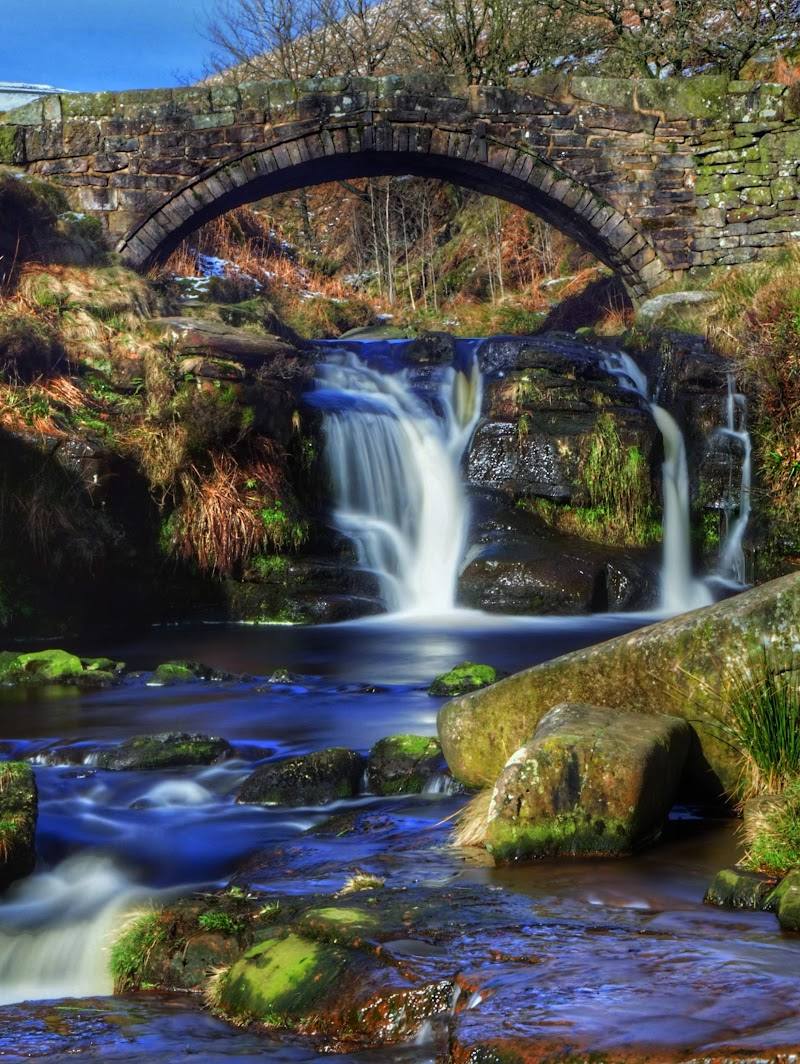
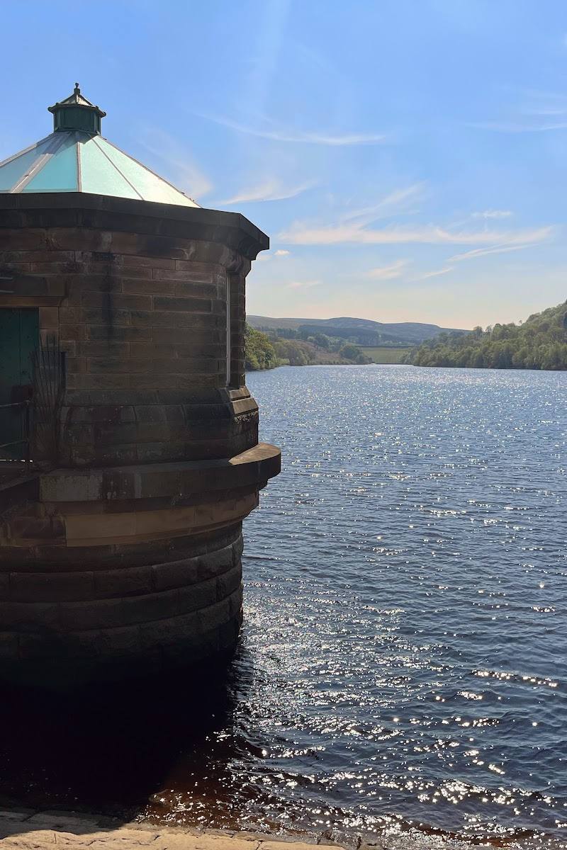
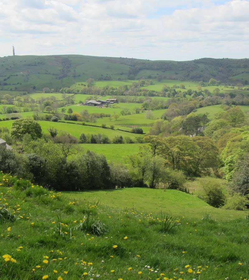
6.4At the edge of the Peak District, Macclesfield Forest brings conifer woodland, reservoirs and upland views together. Its trails reach the water and surrounding hills, with the forest’s heronry and nearby Forest Chapel adding reasons to look beyond the path.
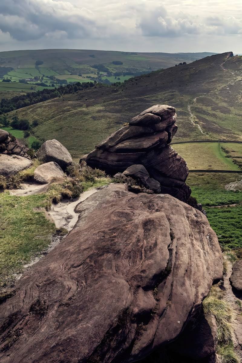
This is more than a woodland stroll: reservoir shores, forest trails and open views towards Shutlingsloe give the landscape a changing, upland character. The heronry adds a seasonal wildlife draw, while several routes make it possible to choose a shorter forest walk or a longer circuit.
Peaceful · Wild
Find your way
Open mapMacclesfield, Cheshire
Opening map…
Know this place a little better?
The experience
Choose a shorter forest walk or build a half-day circuit around the reservoirs and surrounding hills. The supplied sources describe multiple trails, views towards Shutlingsloe and Shining Tor, and wildlife including herons and red deer. Check current access and practical information before travelling.
Things to do
Walk a forest bridleway circuit
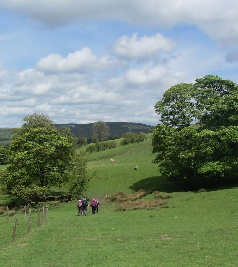
A visitor review describes a circular walk via the forest bridleway, taking about two hours on mostly good, solid paths. Confirm the route and current conditions before setting out.
About 2 hours
Take the reservoir-and-Tegg’s Nose circular
The listed route links Tegg’s Nose, Ridgegate Reservoir and Trentabank Reservoir, with a climb to Tegg’s Nose for views. The trail listing gives 6.3 miles, 3–3.5 hours and moderate difficulty.
3–3.5 hours
Look for the heronry
The supplied sources identify the forest’s heronry as a wildlife feature and note that springtime visitors may see birds tending their young. Keep a respectful distance and do not disturb nesting birds.
Find Forest Chapel
Seek out St Stephen’s Church, commonly known as Forest Chapel. The supplied source says it was built in 1673, reconstructed in 1834 and is associated with an August rush-bearing ceremony.
Make a day of it
Quick escape · About 1–2 hours
Quick Escape: a forest-and-reservoir stroll
- 01
Check current access and parking information before setting out.
- 02
Choose a short route on the forest paths near the visitor area.
- 03
Walk a section of the forest and pause for views towards the reservoirs.
- 04
Keep an eye out for birds and return by the same route.
Half day · About 3–3.5 hours
Make a Half Day of It: forest, reservoirs and hill views
- 01
Start from Tegg’s Nose Country Park car park if current access and parking arrangements allow.
- 02
Follow the described circular route through the forest and around Ridgegate and Trentabank reservoirs.
- 03
Continue towards Tegg’s Nose for the higher viewpoints, allowing for the route’s moderate difficulty.
- 04
Check the route map and conditions before departure; the cited trail estimate is 6.3 miles and 3–3.5 hours.
Verified history
The forest is described as established in the remnants of a Norman hunting forest. St Stephen’s Church, commonly called Forest Chapel, was originally built in 1673 and reconstructed in 1834. The supplied source also associates the church with a traditional rush-bearing ceremony performed in August; check current event information before planning around it.
Hidden details
Forest Chapel’s rush-bearing tradition — St Stephen’s Church is known locally as Forest Chapel. The supplied source links it to a traditional August rush-bearing ceremony, a detail easy to miss if you focus only on the reservoir walks. Verify whether the ceremony is taking place before visiting.
Spring activity above the bluebells — The source describes the heronry as the Peak District’s largest and says spring visitors may see herons tending their young high above the bluebells.
When to go
April · May · October · A clear morning is a good choice for a walk and views; spring is the season specifically noted for heronry activity.
The source highlights springtime heronry activity and bluebells, while visitor reports describe autumn views and colour. Exact peak timing varies; check local conditions.
Routes include upland terrain and can be challenging. Check the forecast and current path conditions, allow enough time and carry suitable footwear and water.
The route
- surface
- A visitor describes the bridleway circuit as mainly on good, solid paths. Other route surfaces are not specified.
- distance
- 6.3 miles for the listed Tegg’s Nose, Ridgegate Reservoir and Trentabank Reservoir circular; a separate forest bridleway circuit is described by a visitor as about two hours.
- duration
- 3–3.5 hours for the 6.3-mile circular; about 2 hours for the visitor-described bridleway circuit.
- difficulty
- Moderate for the 6.3-mile route.
- waymarking
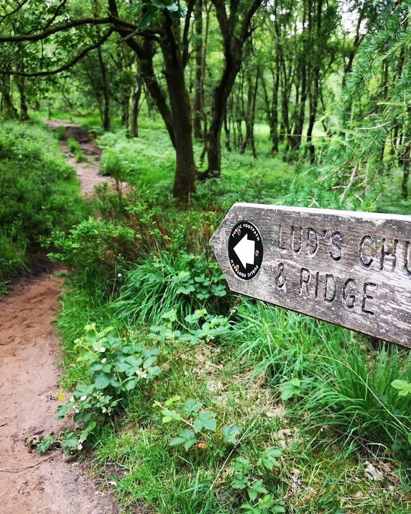
- A visitor source mentions colour-coded walks; check current waymarking and route information.
- route shape
- Circular
- start point
- The listed 6.3-mile circular starts at Tegg’s Nose Country Park car park on Buxton Old Road.
- parking start
- The route listing identifies Tegg’s Nose Country Park car park as the start. Check current access and parking arrangements before setting out.
- shorter alternative
- Choose a shorter out-and-back forest path; no specific shorter route details are supplied.
- Ridgegate Reservoir
- Trentabank Reservoir
- Macclesfield Forest
- Tegg’s Nose viewpoints
Worth pairing with
Tegg’s Nose Country Park
Pair the forest with the nearby country park for an extended route and higher views. The supplied route source includes Tegg’s Nose with Ridgegate and Trentabank reservoirs.
Macclesfield
The town is identified by the supplied sources as the nearest urban centre and a place with historic streets, independent food and drink, and silk-industry heritage. Check individual venues and opening times before making plans.
What to look for
Look for herons around the forest’s heronry in spring, reservoir views between the trees, and the outline of Shutlingsloe on the skyline. Forest Chapel is another landmark to seek out.
The story
A landscape established in the remnants of a Norman hunting forest; nearby St Stephen’s Church, known as Forest Chapel, dates to 1673 and was reconstructed in 1834.
Best time to go
Spring for the heronry and woodland flowers; autumn for forest colour and reservoir views. Check current conditions before setting out.
Spring offers the source-described opportunity to see herons tending their young; autumn is noted for forest views and colour. An early start may make a walk quieter, but current conditions and facilities should be checked.
How long to spend
1–2 hours to Half day
Perfect for
Walkers · Wildlife lovers · Photographers · Cyclists
Before you go
Address
Practical information
Opening & access
Walking routes and visitor areas are described by the supplied sources. The Google record is marked permanently closed, which may refer to this listing rather than the forest itself; check current access, car park and visitor-centre information before travelling.
Check before visiting
Parking
Sources describe designated free parking and a pay-and-display car park at the visitor centre. Check current availability and charges before travelling.
Check before visiting
Toilets
A source describes toilets at the visitor centre; check current opening and availability.
Check before visiting
Food & drink
A source describes a food stall at the visitor centre; check whether it is operating.
Check before visiting
Dogs
Check current site guidance and signage before visiting.
Check before visiting
Accessibility
Routes include forest roads and trails, but surfaces and gradients vary. Check route conditions and suitability before visiting.
Check before visiting
Cost
Check before visiting
Check before visiting
Water
Reservoirs
Gallery
Place photographs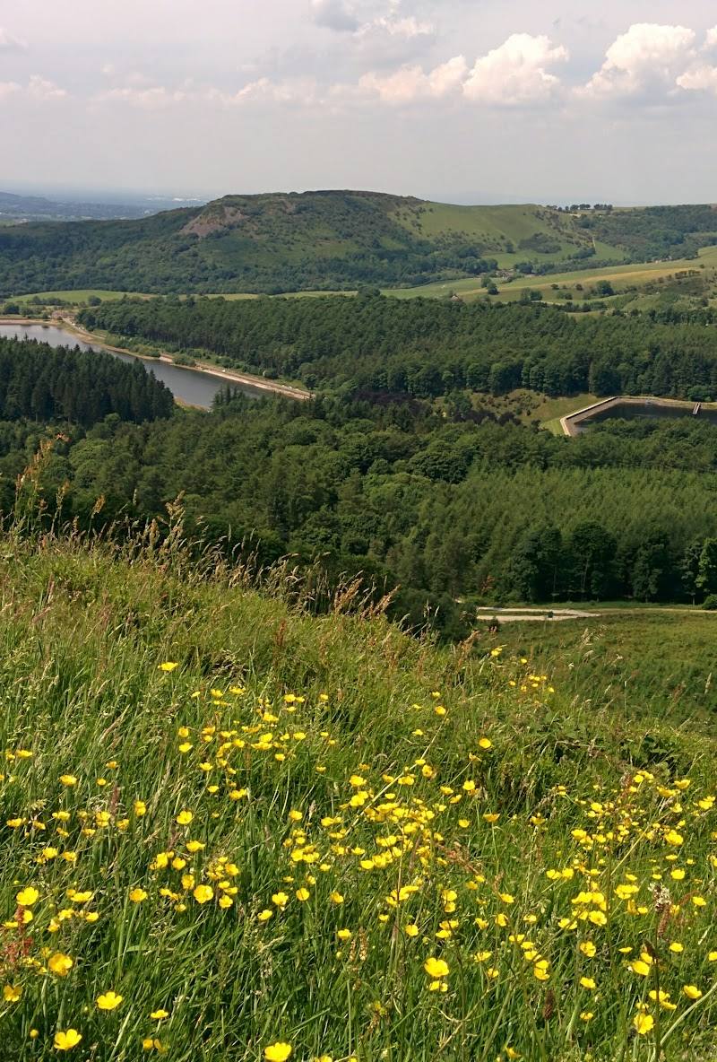
Keep exploring
Around Macclesfield Forest
Within 50 km · approximate straight-line distances