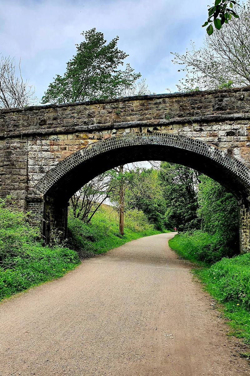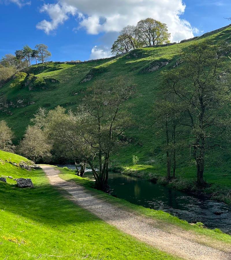
Wolfscote Dale, near Hartington, Derbyshire
Wolfscote Dale
route · Waterside walk
Place photograph
7.1
Wildland
2–2.5 hours for the sourced 4.7-mile circular route
Time
Check
Cost
Peaceful
Feel
Why it's Wildland
7.1A limestone dale carved by the River Dove, where riverside paths run beneath steep valley sides and caves include Frank i’ th’ Rocks, described by the supplied source as a Neolithic burial site.
The appeal is the combination of a dramatic limestone valley, a river path and caves with a human story. It offers more than a simple riverside stroll, though the exact route and conditions need checking before you go.
Peaceful · Dramatic · Wild
Find your way
Open mapWolfscote Dale, near Hartington, Derbyshire
Opening map…
Know this place a little better?
The experience
Walk the riverside dale as part of a clearly checked route. The supplied sources describe a 4.7-mile circular option and a Hartington-start walk, but they do not establish that these are the same route.
Things to do
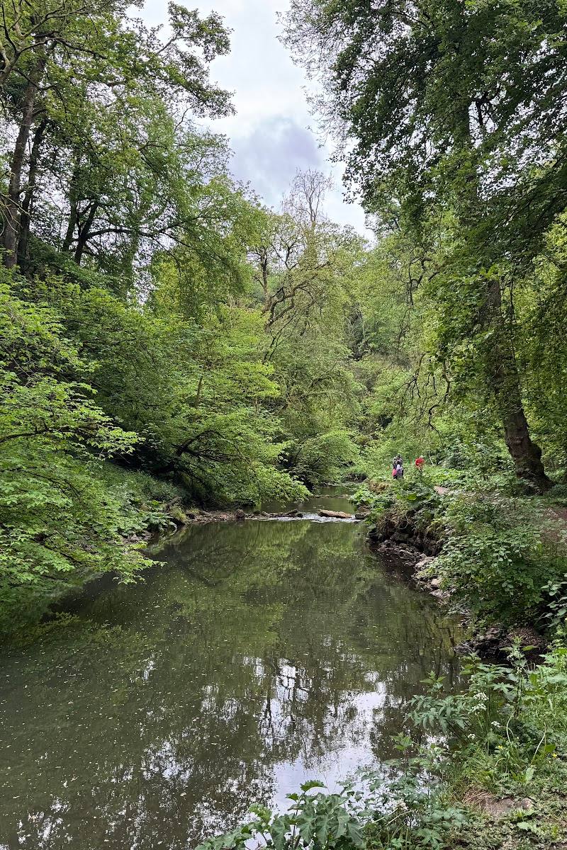
Walk beside the River Dove
Explore a section of the riverside path through the limestone dale. Confirm the route and conditions before setting off.
Take a sourced circular route
AllTrails lists a 4.7-mile Alstonefield and Wolfscote Dale loop, estimated at 2–2.5 hours and described as moderate. Verify the start point and route before relying on those details.
2–2.5 hours
Make a day of it
Quick escape · Allow around 1–2 hours; exact distance is not established for this shorter option.
Quick riverside escape
- 01
Choose and verify a suitable starting point before travelling.
- 02
Walk a short section of the dale beside the River Dove, then return the same way.
- 03
Check ground conditions and access before setting out.
Half day · 2–2.5 hours walking, plus any stops.
Make a half day of it
- 01
Consider the sourced 4.7-mile Alstonefield and Wolfscote Dale circular, checking its current route and start point.
- 02
Allow time to pause at the river and look for the dale’s caves.
- 03
If using Hartington as a base, check current facilities and the route connection before planning a village stop.
Verified history
The supplied Tripadvisor description identifies Frank i’ th’ Rocks as a Neolithic burial site within the dale. The sources provided do not give further verified dates, people or historical detail.
When to go
· Not established by the supplied sources.
The supplied route information warns that rougher sections can be difficult in wet conditions; it does not establish seasonal highlights.
Expect potentially muddy or rough sections in wet conditions. Check the forecast and route conditions, and choose footwear accordingly.
The route
- ascent
- 495 ft for the AllTrails circular
- surface
- Rougher sections; potentially muddy in wet conditions
- distance
- 4.7 miles for the AllTrails Alstonefield and Wolfscote Dale circular
- duration
- 2–2.5 hours for the AllTrails circular
- difficulty
- Moderate for the AllTrails circular
- route shape
- Loop for the AllTrails circular
- start point
- AllTrails listing names an Alstonefield and Wolfscote Dale circular; a supplied video describes starting from Hartington. Confirm the intended route and start.
- parking start
- Check before visiting. The supplied video identifies Hartington car park; AllTrails gives different start information.
- River Dove and riverside dale paths
- Limestone valley scenery
- Caves, including Frank i’ th’ Rocks as named in the supplied destination description
Worth pairing with
Hartington
A supplied route video describes Hartington as a possible starting point and mentions a church, shop, pub and café. Check current availability and whether the chosen route connects conveniently.
Dovedale
The supplied destination description says longer circular routes may link Wolfscote Dale with nearby Dovedale. Check a current map before combining them.
What to look for
Look for the limestone valley sides, the River Dove and the caves around the dale. Frank i’ th’ Rocks is identified in the supplied source as a Neolithic burial site.
The story
Archaeology
Best time to go
No specific best season is established by the supplied sources. Wet-season sections may be rough or muddy.
No best time of day is established by the supplied sources. Check conditions before setting out, particularly after wet weather.
How long to spend
2–2.5 hours for the sourced 4.7-mile circular route
Perfect for
Walkers · Photographers · History lovers
Route at a glance
Duration
2–2.5 hours for the sourced 4.7-mile circular route
Terrain
Valley, Riverside
Parking / start
Check before visiting. A supplied route video identifies Hartington car park as a starting option; the AllTrails route listing describes a different start.
Before you go
Address
Listed hours
- Monday: Open 24 hours
- Tuesday: Open 24 hours
- Wednesday: Open 24 hours
- Thursday: Open 24 hours
- Friday: Open 24 hours
- Saturday: Open 24 hours
- Sunday: Open 24 hours
Check before visiting.
Google rating
Practical information
Opening & access
A walking destination in the White Peak, with routes through the dale and along the River Dove. Check current access and route conditions before setting out.
Check before visiting
Parking
Check before visiting. A supplied route video identifies Hartington car park as a starting option; the AllTrails route listing describes a different start.
Check before visiting
Toilets
Check before visiting. A supplied route video reports public toilets in Hartington.
Check before visiting
Food & drink
Check before visiting. The supplied route video mentions a Hartington café and pub; verify current opening and availability.
Check before visiting
Dogs
Check before visiting.
Check before visiting
Accessibility
Not established. One supplied route source describes rougher sections, steep climbs and potentially muddy conditions; check route details before visiting.
Check before visiting
Cost
Check before visiting
Check before visiting
Water
River
Gallery
Place photographs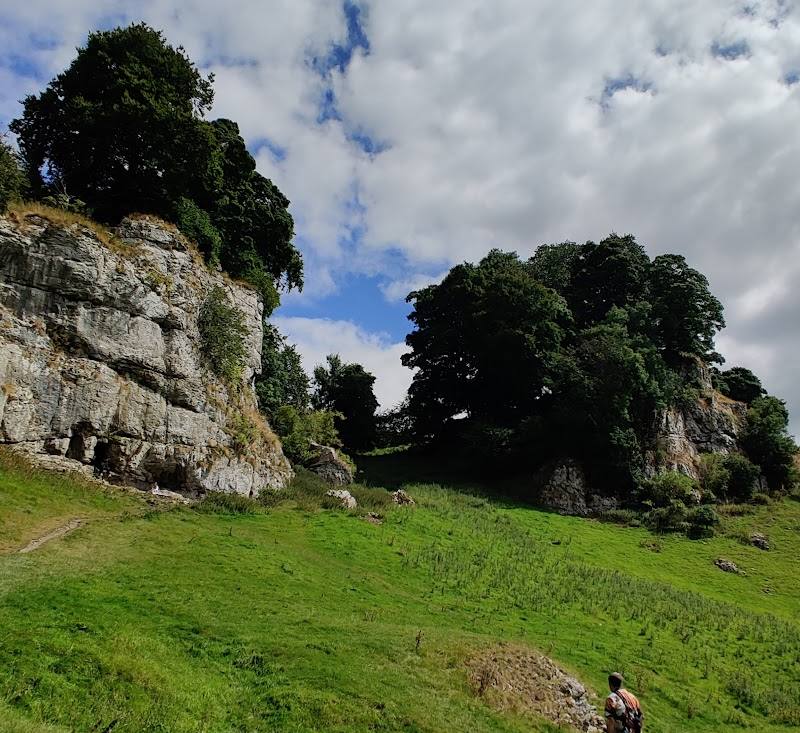
Keep exploring
Around Wolfscote Dale
Within 50 km · approximate straight-line distances