6.5
Wildland
1–2 hours
Time
Check
Cost
Dramatic
Feel
Why it's Wildland
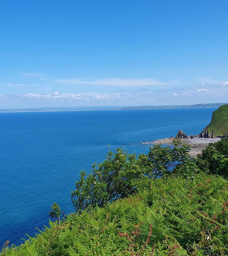
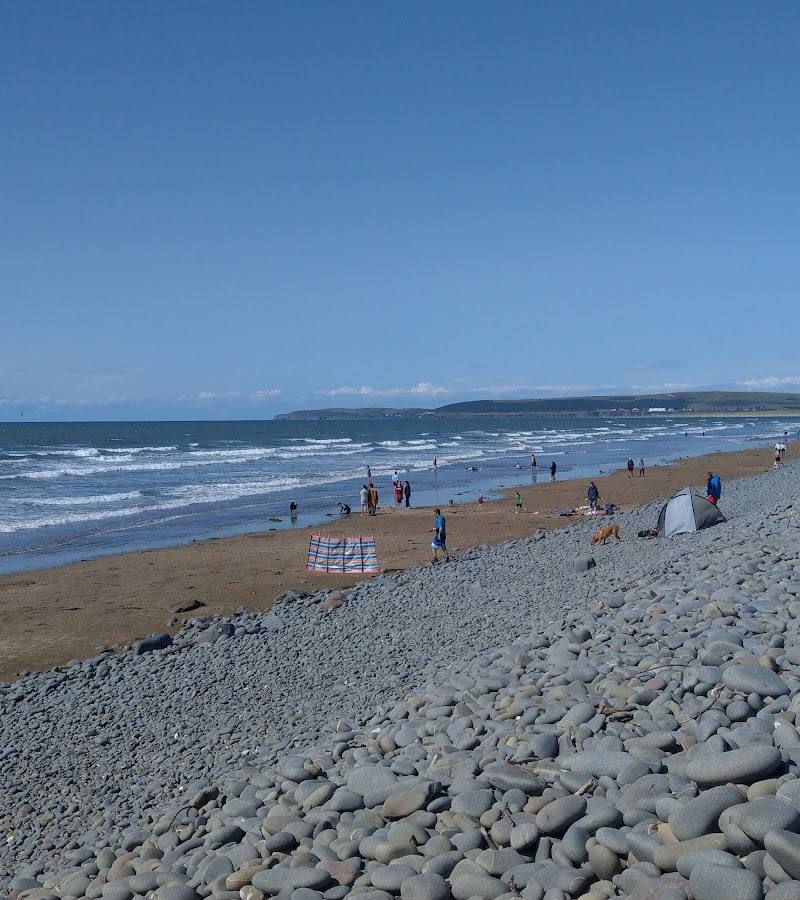
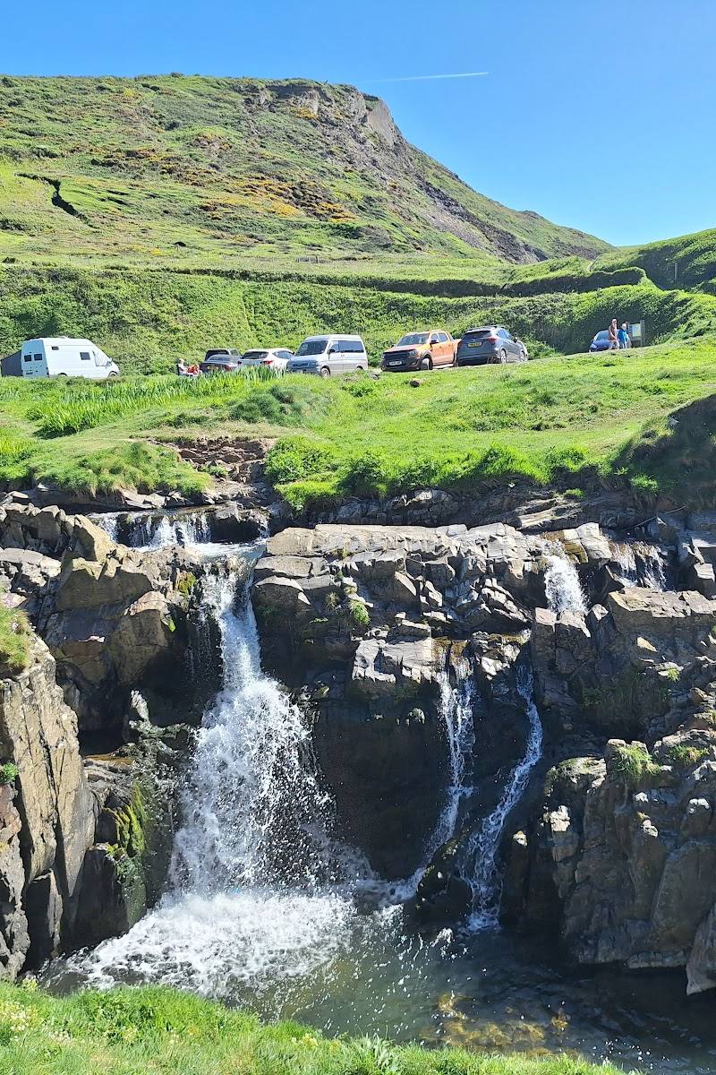
6.5A small, rugged cove where a stream drops over the cliffs as a waterfall onto the shore. Rock pools, slate formations and folded cliffs make this a beach to explore slowly, rather than simply pass through.
The appeal here is the meeting of waterfall, rocky shore and dramatic coastal geology in a remote-feeling cove. The steep, rough approach is part of the visit, so come prepared for uneven access and changing coastal conditions.
Dramatic · Wild · Secluded
Find your way
Open mapWelcombe Mouth, near Bideford, Devon
Opening map…
Know this place a little better?
The experience
Follow the rough approach down to the cove, explore the shore and rock pools when conditions allow, and look for the stream waterfall and folded cliff strata. The South West Coast Path passes nearby, but check route conditions and tide times before planning a longer walk.
Things to do
Find the stream waterfall
Look for the stream tumbling over the cliff onto the shore at the northern end of the beach. Its appearance may vary with rainfall and conditions.
Allow time during your beach visit
Explore the rocky shore and rock pools
Explore the rocky beach and rock pools when the tide and conditions make it appropriate. Check tide times before descending and avoid becoming cut off.
Allow time during your beach visit
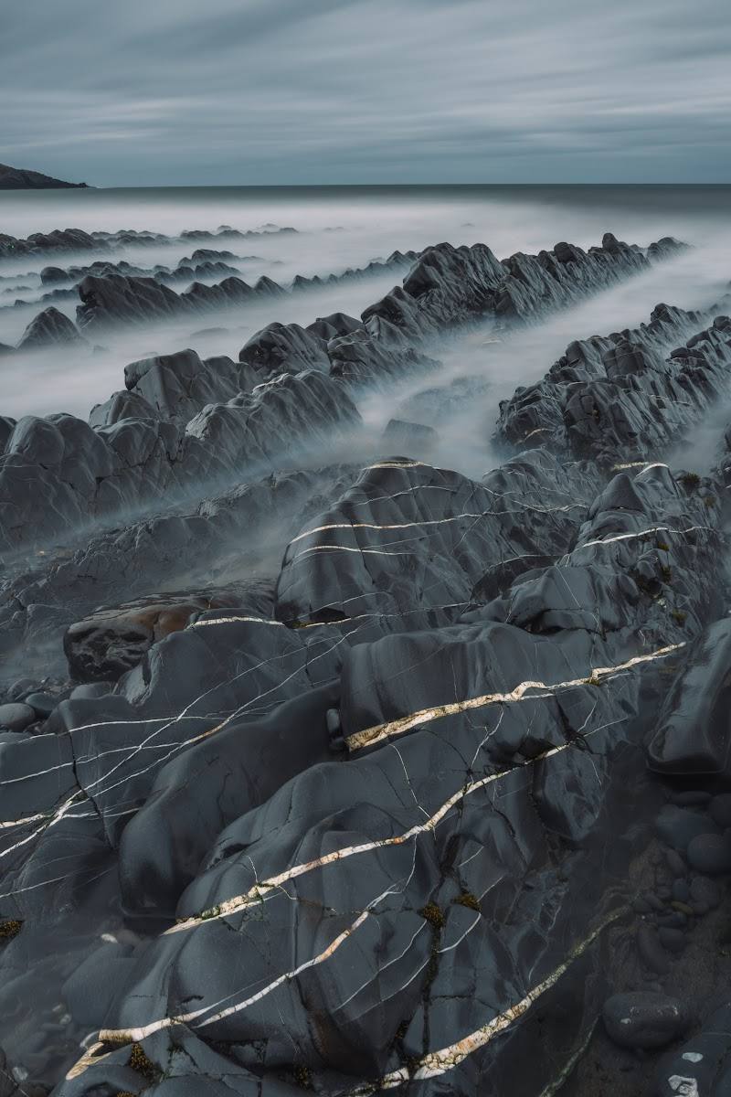
Look for folded cliff strata
The cliffs expose folded sandstone and mudstone, including a prominent overfold described in a local geology walk account. Observe from a safe distance.
Part of a beach visit
Make a day of it
Quick escape · 1–2 hours
1 — Quick Escape: waterfall and cove
- 01
Follow the lane to the reported car park, allowing for a rough, potholed final section.
- 02
Take the steep path and stepping stones down to the beach, if conditions are suitable.
- 03
Explore the rocky shore and look for the stream waterfall; check tide conditions before lingering.
Half day · Half day
2 — Make a Half Day of It: cove and coastal geology
- 01
Visit the beach via the reported car park and steep access path, checking tide and weather conditions first.
- 02
Explore the shore for the waterfall, rock pools and folded cliff strata without approaching unstable cliff edges.
- 03
If you want a longer outing, consider the nearby South West Coast Path; verify the route and conditions before setting out.
- 04
Finish with a visit to the Old Smithy Inn, checking its current opening times.
Verified history
The supplied sources describe the cliffs as containing sandstone and mudstone of the Crackington Beds, with folds associated with geological events around 300 million years ago. A local geology account identifies a notable overfold visible in the cliff face.
Hidden details
A dramatic fold in the cliff — A local geology account points out a superb example of folding, including an overfold in the cliff face. Look from a safe distance and do not approach unstable cliff edges.
When to go
April · May · June · July · August · September · A calm, clear period with enough daylight for the steep descent and return; check tide times before visiting. Sunset is noted as a scenic possibility, but do not descend or return in poor light.
The supplied sources do not establish a specific seasonal peak. Spring to early autumn is a practical suggestion for exploring the shore in daylight, subject to weather and tide conditions.
Coastal weather and tides can change conditions quickly. Check tide times and forecasts; the access lane is reported to be rough and potholed, and the beach approach is steep.
Worth pairing with
The Old Smithy Inn
A nearby pub and possible stop after the visit; check current opening times and access before travelling.
Welcombe village
A nearby village described as having a church, community shop and pottery. Verify opening times and visitor access before making plans.
What to look for
- 01
The waterfall at the northern end of the beach
- 02
rock pools
- 03
slate and sandstone cliffs
- 04
and the dramatic folded rock layers described at the cove. Keep clear of unstable cliff faces and check tide conditions.
The story
Archaeology
Best time to go
Spring to autumn for easier coastal exploring; check tides and weather before setting out.
Choose a calm, clear day and check tide times before descending. The nearby local information recommends checking tides; sunset is also highlighted as a scenic time, but access and conditions should be assessed in daylight.
How long to spend
1–2 hours
Perfect for
Walkers · Photographers · Families
Before you go
Address
Google rating
Practical information
Opening & access
A rough lane leads to a car park, with a steep path and stepping stones down to the beach. The final road section is described as unsurfaced and potholed; check conditions before visiting. Access arrangements are unconfirmed. Check before visiting; do not enter private land or restricted structures.
Check before visiting
Parking
A car park is reported at the end of a narrow, rough lane. Parking cost and current availability are not confirmed; check before visiting.
Check before visiting
Toilets
Check before visiting.
Check before visiting
Food & drink
The Old Smithy Inn is mentioned nearby; check opening times before visiting.
Check before visiting
Dogs
Dogs are reported as welcome under close control; check current local rules before visiting.
Check before visiting
Accessibility
The route from the car park includes a steep path and stepping stones; the beach is rocky and uneven. Not suitable for assuming step-free access. Check conditions before visiting.
Check before visiting
Cost
Check before visiting
Check before visiting
Water
Sea, Stream, Waterfall
Gallery
Place photographs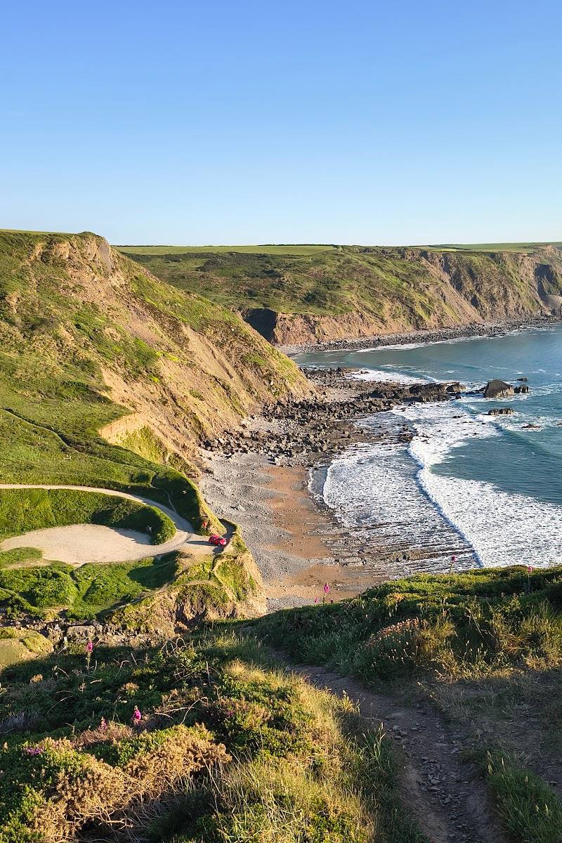
Keep exploring
Around Welcombe Mouth Beach
Within 50 km · approximate straight-line distances