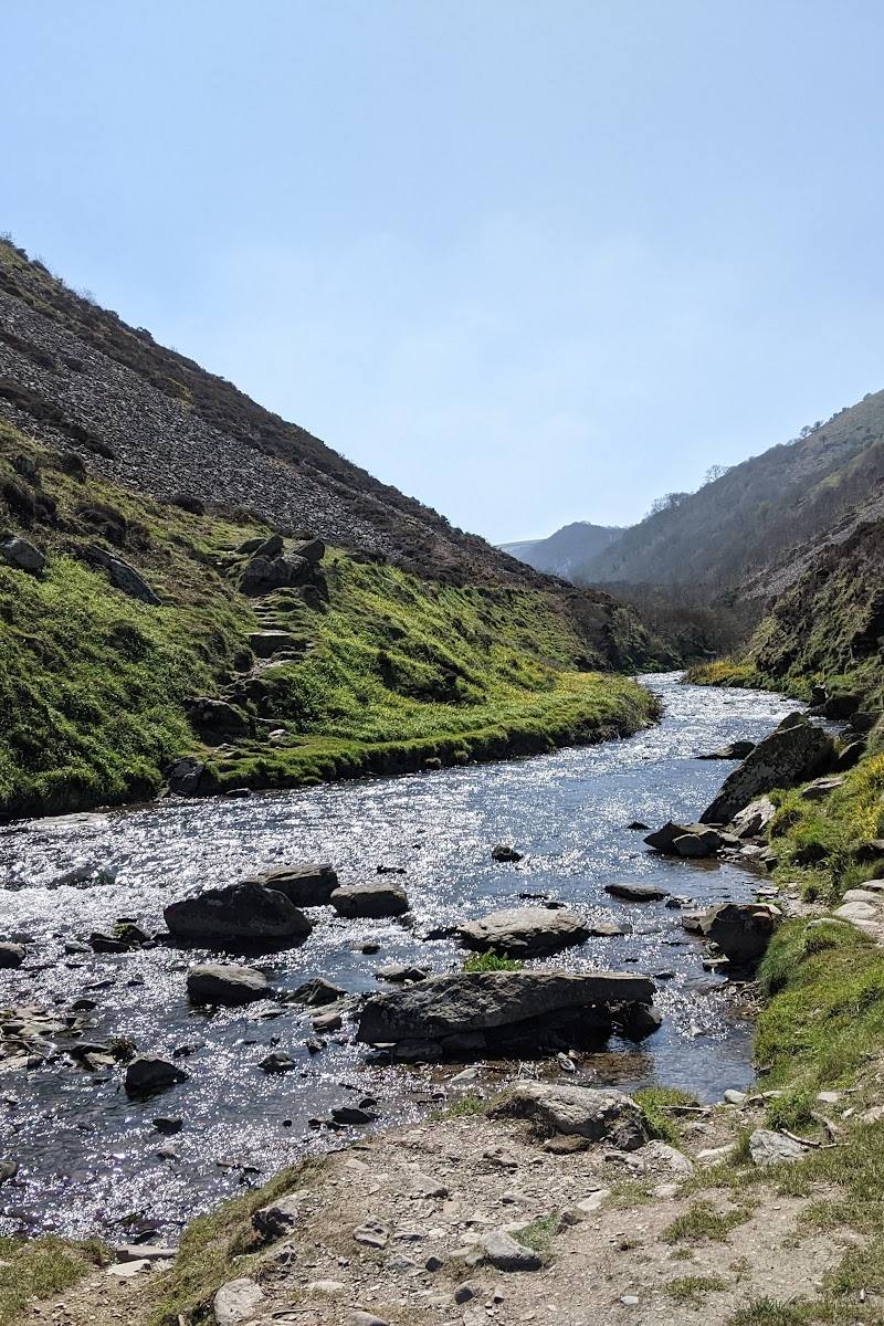
North Devon coast, from Northam and Bideford Bay towards Hartland Point
Bideford Bay and Hartland
Coastal reserve
Place photograph
7.8
Wildland
Half day
Time
Check
Cost
Dramatic
Feel
Why it's Wildland
7.8A long stretch of North Devon coast where wooded valleys, hidden coves and exposed headlands give way to far-reaching views across Bideford Bay towards Lundy.
This is more than a dramatic cliff-top viewpoint: the National Trust’s coastal holding brings together secluded woodland valleys, wildflower grassland, tidal marsh, waterfalls and the Iron Age enclosure at Windbury Head. Its dispersed access points make it a place to explore in sections rather than rush through.
Dramatic · Wild · Peaceful · Big-sky
Find your way
Open mapNorth Devon coast, from Northam and Bideford Bay towards Hartland Point
Opening map…
Know this place a little better?
The experience
Choose one access point rather than trying to cover this large, dispersed coastal property in a single short visit. For a compact outing, walk the documented Burrough Farm trail; for a longer day, pair a coastal section with a village or headland stop. Terrain can be steep and uneven.
Things to do
Walk the Burrough Farm trail
A one-mile circular route across farmland, through woodland and beside the River Torridge, with views across the estuary and inland towards Bideford. The route has steeper sections, uneven terrain, stiles and gates.
30–40 minutes
Explore Buck's Mills
Follow the fishing village down to its pebbly beach and look for the waterfall, rock pools and remains of lime kilns. The Cabin stands on the slipway.
Look across Bideford Bay from Windbury Head
Visit the 142-metre summit of Windbury Head, where an Iron Age enclosure occupies the cliff edge. The National Trust notes that part of the site has been lost to erosion; views reach across the bay towards Lundy.
Visit Kipling Tors
Climb the gorse-covered hill above Westward Ho! to find the old lookout and views over the bay. The hill was dedicated to Rudyard Kipling and given to the National Trust by the Kipling Memorial Fund in 1938.
Look for wrecks at Burrough Farm
At low tide, shipwreck remains may be visible around the headlands beside Burrough Farm and its tidal marsh.
Make a day of it
Quick escape · 30–40 minutes for the trail itself
Quick Escape: Burrough Farm and the Torridge
- 01
Start at Windmill Lane, Northam (grid reference SS458290).
- 02
Follow the one-mile circular trail across farmland, through woodland and alongside the River Torridge.
- 03
Take in views towards Bideford and, at low tide, look for wrecks around the headlands.
Half day · Check before visiting; allow extra time beyond any chosen walk
Make a Half Day of It: Buck's Mills and the coast
- 01
Visit Buck's Mills, the fishing village that descends to a pebbly beach.
- 02
Look for the waterfall, lime-kiln remains and rock pools.
- 03
See The Cabin on the slipway, the long-preserved artistic retreat of Mary Stella Edwards and Judith Ackland.
- 04
Add a coastal walk from a suitable local access point; check route conditions and access before setting out.
Verified history
Windbury Head Camp is an Iron Age enclosure on the summit of Beckland Cliffs, 142 metres above sea level; the National Trust says part of the site has been lost to cliff erosion. Kipling Tors was dedicated to Rudyard Kipling and given to the Trust by the Kipling Memorial Fund in 1938. At Buck's Mills, visitors can see remains of lime kilns. The Cabin on the village slipway was the artistic retreat of Mary Stella Edwards and Judith Ackland and, according to the National Trust, has remained trapped in time for over 40 years.
Hidden details
A tidal-marsh vantage for wrecks — At Burrough Farm, the National Trust says shipwrecks may be spotted around the headlands at low tide.
A rare plant at Brownsham — Brownsham Moors is an SSSI with wet and dry grassland. The National Trust identifies yellow bartsia, found only very locally, and the rare Cornish moneywort among its plants.
An Iron Age enclosure being taken by the sea — Windbury Head Camp occupies the cliff-top summit; erosion has already removed part of the archaeological site.
When to go
April · May · September · October · Check tide times for Burrough Farm if looking for wrecks. Choose a clear spell for long coastal views and allow for changing coastal weather.
The National Trust recommends spring for birdwatching and describes late spring and early autumn as mild, with the landscape vibrant. Summer may offer chances of spotting dolphins or sunfish at Windbury Head. Winter is more exposed and paths may be slippery.
Coastal conditions can change quickly. The supplied National Trust source warns that the ground is uneven and steep in places; the source row also notes slippery paths in winter. Check current weather, tide and route conditions before setting out.
The route
- stiles
- Stiles and gates
- surface
- Across farmland, through woodland and beside the River Torridge; uneven terrain.
- distance
- 1 mile (1.6 km)
- duration
- 30–40 minutes
- difficulty
- Moderate
- route shape
- Circular
- start point
- Windmill Lane, Northam, grid reference SS458290
- parking start
- Check current parking arrangements for the chosen start point before travelling.
- Views across the River Torridge estuary and inland towards Bideford
- Woodland and farmland
- Possible views of wrecks around the headlands at low tide
Worth pairing with
Clovelly and Peace Park
The National Trust suggests pairing a visit to the small, tree-surrounded Peace Park, with its views over Bideford Bay, with a walk around Clovelly's car-free village.
Hartland Quay
A nearby coastal stop described by the supplied local accommodation guide for its contorted cliff rock layers and access to the South West Coast Path. Check current access and facilities before visiting.
What to look for
At low tide, look for possible shipwreck remains around Burrough Farm’s headlands. At Buck's Mills, find the waterfall, lime-kiln remains and rock pools. At Windbury Head, notice how cliff erosion has taken part of the Iron Age enclosure.
The story
Iron Age archaeology, coastal fishing and maritime history; Windbury Head Camp is an Iron Age enclosure, and Buck's Mills has remains of lime kilns.
Best time to go
Spring for wildflowers and birdwatching; late spring and early autumn are described as mild and vibrant. Winter can bring dramatic coastal weather, but paths may be slippery.
Spring is the strongest choice for birdwatching and wildflowers. At Windbury Head, the National Trust suggests watching the sea in summer for possible dolphins or sunfish. Check tide and weather conditions before coastal walks.
How long to spend
Half day
Perfect for
Walkers · Photographers · Wildlife lovers · Families · Dogs
Practical information
Opening & access
National Trust countryside is listed as open dawn to dusk. The coastline is reached at several points using minor roads, including Brownsham and East Titchberry. Check current access and parking arrangements before setting out.
Check before visiting
Parking
National Trust car parking is available at listed access points. The main property page says the car park uses JustPark for member check-in and non-member payments; members are not charged. Check the chosen access point before travelling.
Check before visiting
Toilets
The National Trust property page states there are no toilets.
Food & drink
Check before visiting. The supplied National Trust sources do not confirm food facilities at the property.
Check before visiting
Dogs
Dogs are allowed at the property. On the Burrough Farm trail, dogs are welcome on leads.
Accessibility
Ground is undulating and uneven, steep in places; steps and uneven terrain are noted. The cliff top is accessible from the East Titchberry car park. Check the National Trust accessibility guide for route-specific detail.
Check before visiting
Cost
Check before visiting
Check before visiting
Water
Sea, tidal marsh, River Torridge, waterfalls and rock pools. No swimming or paddling permission is evidenced; check locally before entering the water.
Check before visiting
Gallery
Place photographsKeep exploring
Around Bideford Bay and Hartland
Within 50 km · approximate straight-line distances
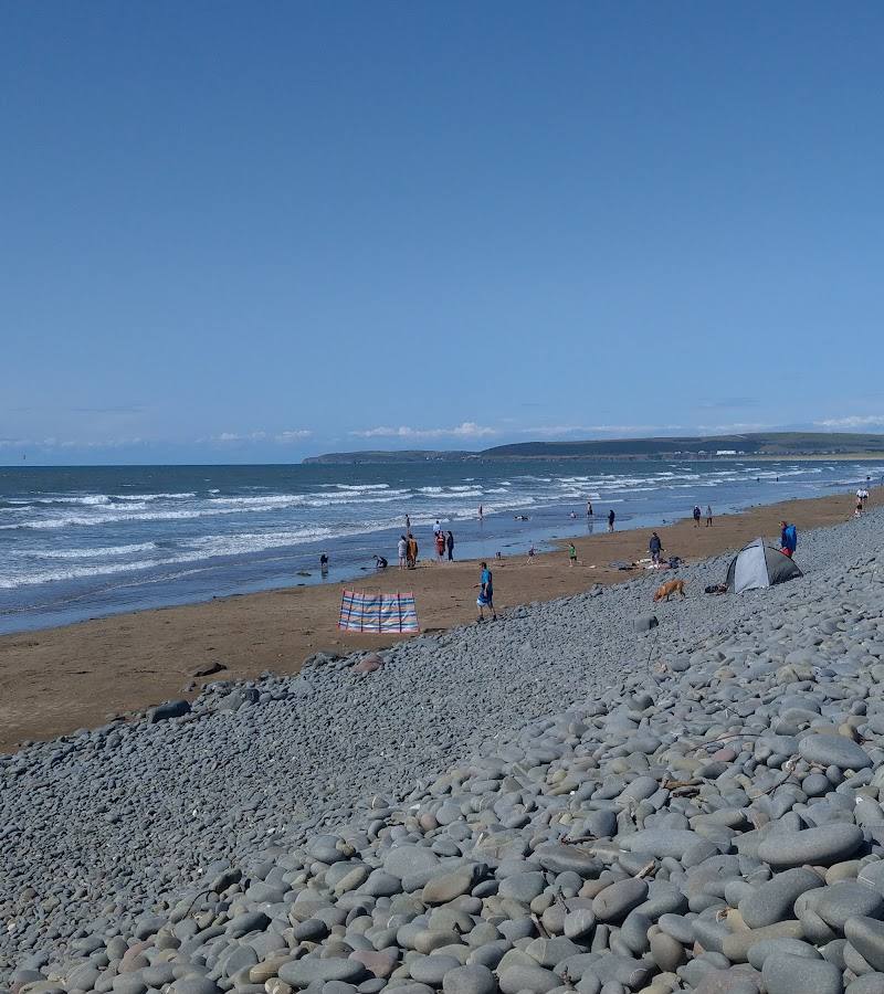 Place photograph6.2
Sandymere Beach
Northam Burrows Country Park, near Westward Ho!, Bideford EX39 1XS
15.7 km away

 Place photograph5.6
Exmoor Zoological and Conservation Centre
Bratton Fleming, near Barnstaple, North Devon
39.2 km away