Nant Gwynant, Eryri (Snowdonia), Gwynedd, Wales
Watkin Path Waterfall
Waterside landscape
Place photograph
6.2
Wildland
1–2 hours for a short out-and-back to the waterfalls
Time
Check
Cost
Dramatic
Feel
Why it's Wildland
6.2The Watkin Path begins beside the waters of Cwm Llan, where a gentler woodland approach and waterfalls offer a striking first chapter to a demanding mountain route. Walk a short way for the falls, or continue uphill towards the open views and historic traces of the path.
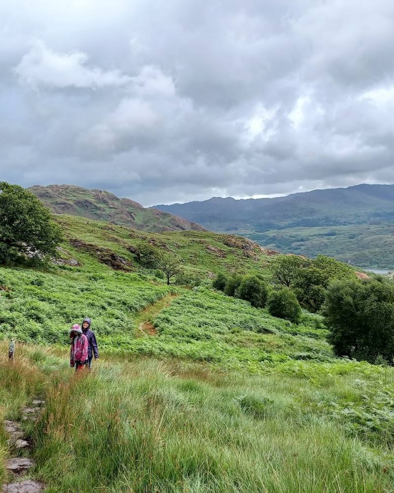
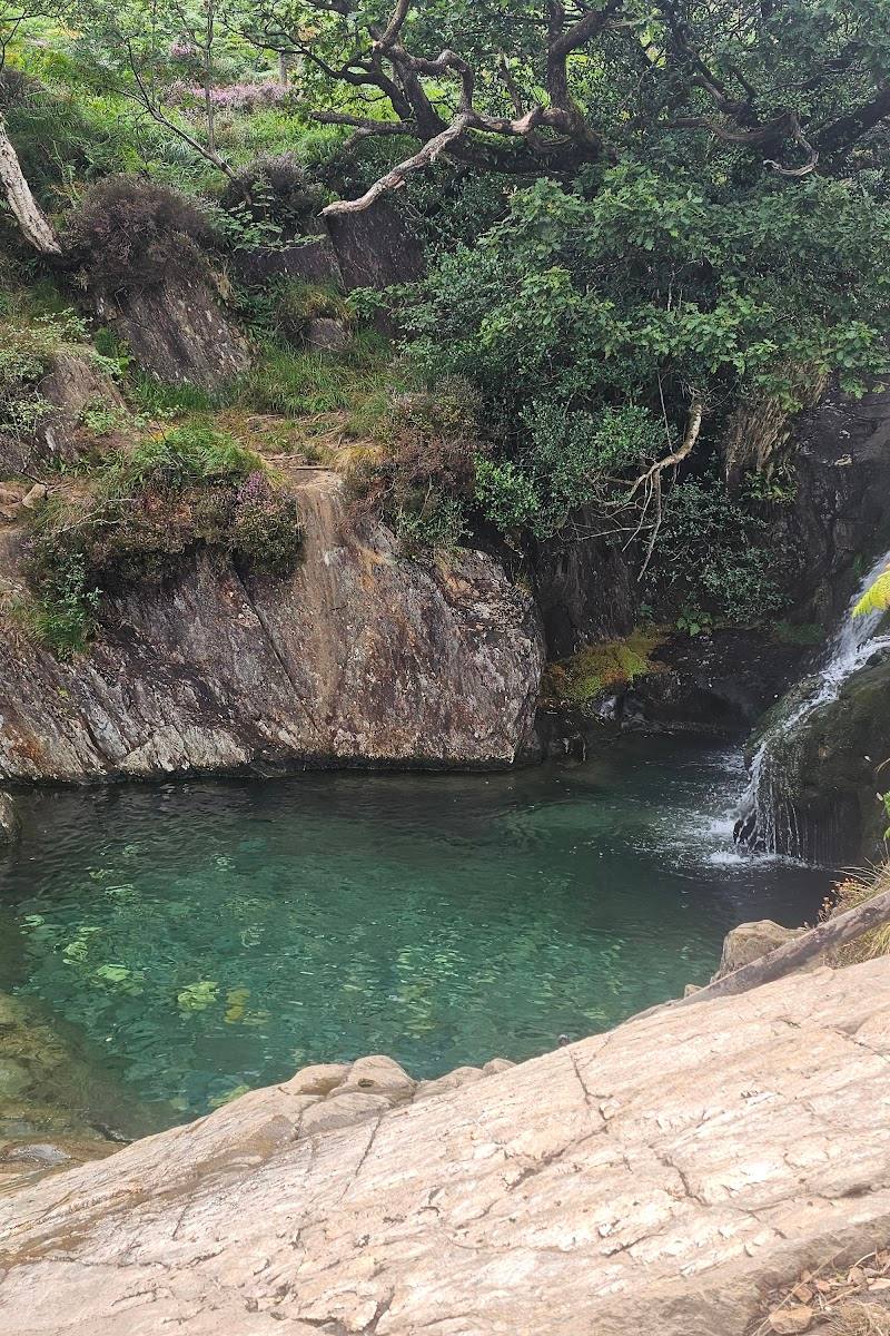
The appeal is the contrast: a streamside walk through woodland, waterfalls and pools, then a steep climb towards the exposed slopes of Yr Wyddfa. Even without attempting the summit, the lower path offers a memorable taste of Eryri’s mountain landscape.
Dramatic · Wild · Atmospheric
Find your way
Open mapNant Gwynant, Eryri (Snowdonia), Gwynedd, Wales
Opening map…
Know this place a little better?
The experience
Take the Watkin Path from Nant Gwynant and follow its lower section beside the river towards the waterfalls. The walk is uphill on uneven ground; turn back when you have had enough rather than treating the waterfall visit as a commitment to the summit. Swimming permission and conditions are not established by the supplied sources.
Things to do
Follow the lower Watkin Path beside the river
Walk the lower section of the path from Nant Gwynant, where the route follows the river and passes waterfalls. Turn around before the terrain exceeds your ability or the conditions become unsuitable.
Allow 1–2 hours for a short out-and-back; actual time varies.
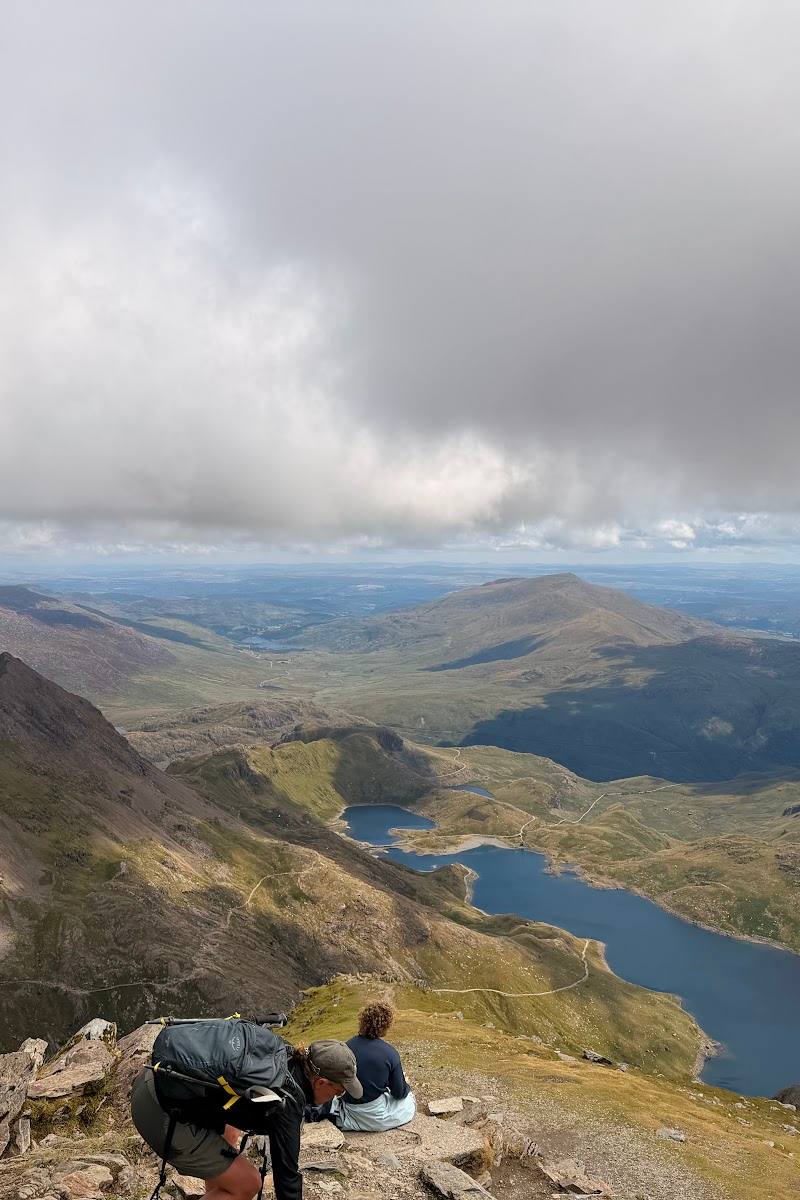
Look up towards the slopes of Yr Wyddfa
As the path climbs away from the lower river section, take in the changing mountain landscape. The full Watkin route is a strenuous summit walk, not simply a short waterfall path.
Make a day of it
Quick escape · About 1–2 hours; turnaround time depends on pace and conditions.
Quick Escape: Waterfalls on the lower Watkin Path
- 01
Start at Nant Gwynant and follow the lower Watkin Path uphill beside the river.
- 02
Continue to the waterfalls and pools, keeping to the path.
- 03
Return the way you came; do not continue towards the summit unless properly prepared.
Half day · Half day
Make a Half Day of It: Waterfalls and the mountain approach
- 01
Walk the lower Watkin Path from Nant Gwynant, following the river and stopping at the waterfalls.
- 02
Continue uphill only as far as your experience, fitness and conditions allow; the official route is graded hard/strenuous.
- 03
Return by the same path and allow time for the descent.
Verified history
The supplied official Eryri route information describes the Watkin Path as one of the six main routes to the summit of Yr Wyddfa and notes that it begins at Nant Gwynant before climbing the mountain’s southern slopes. The supplied sources do not establish a detailed history of the waterfall itself.
Hidden details
The waterfalls are on a much longer mountain route — The lower falls are part of the approach to the Watkin Path, one of the main routes up Yr Wyddfa. The official route continues across loose scree and joins the Rhyd Ddu Path; do not mistake a visit to the pools for an easy summit walk.
When to go
April · May · June · July · August · September · Early morning for a quieter start; check weather and ground conditions before leaving.
The lower waterfalls can be visited as part of a walk, but this is a mountain path and conditions matter more than the calendar. The full route is strenuous, with exposed and loose terrain higher up.
Mountain weather can change quickly. Check the latest Yr Wyddfa ground conditions and route guidance; the official route information stresses that navigation skills and good fitness are required for the summit route.
The route
- surface
- Uneven path; the full route crosses loose scree higher up.
- duration
- Lower waterfall visit: around 1–2 hours according to visitor reports; full summit route is a separate strenuous undertaking.
- difficulty
- Uneven uphill walking for the waterfall approach; the full summit route is officially hard/strenuous.
- route shape
- Out and back for a lower waterfall visit; the full summit route continues uphill.
- start point
- Nant Gwynant
- parking start
- Check before visiting; parking details and availability are not confirmed by the official route excerpt.
- shorter alternative
- Walk uphill to the waterfalls and return the same way rather than continuing to the summit.
- Lower path alongside the river
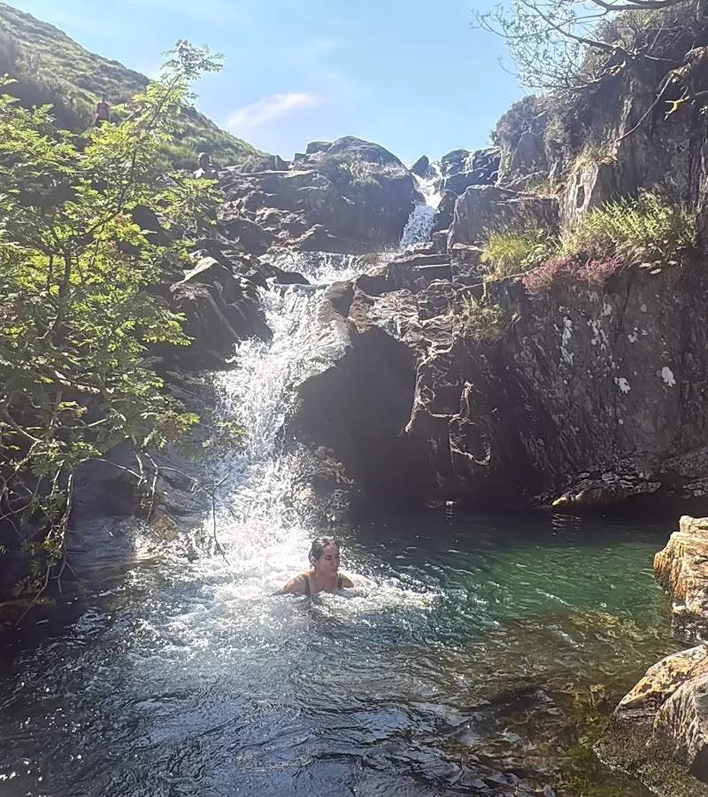
- Waterfalls and pools
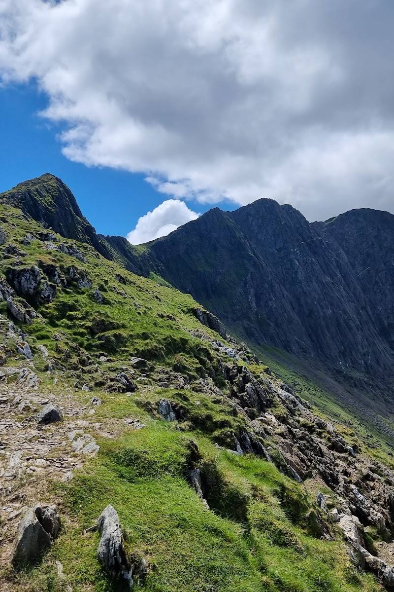
- Views towards the southern slopes of Yr Wyddfa
What to look for
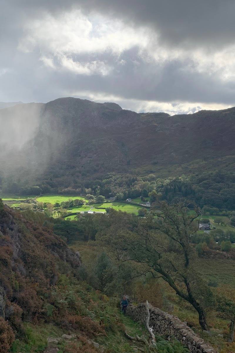
Notice how the path follows the water through the lower wooded section before the route opens towards the mountain slopes. At the waterfalls, admire the pools from a safe position and stay on the established path.
Best time to go
Spring to early autumn for a lower-level visit in generally milder conditions; mountain weather can be severe or change quickly at any time of year.
Choose a clear, settled day and start early for a quieter walk. Mountain weather changes quickly; check the latest Yr Wyddfa ground conditions before setting off.
How long to spend
1–2 hours for a short out-and-back to the waterfalls; a full day for the summit route.
Perfect for
Walkers · Photographers · Wildlife lovers
Before you go
Practical information
Opening & access
The waterfall pools lie along the Watkin Path, which starts at Nant Gwynant and climbs the southern slopes of Yr Wyddfa. The full summit route is classed as hard/strenuous; conditions and access can change, so check current guidance before setting out. Do not assume that swimming or entering the water is permitted or safe. Access arrangements are unconfirmed. Check before visiting; do not enter private land or restricted structures.
Check before visiting
Parking
Parking details and availability: Check before visiting.
Check before visiting
Toilets
Check before visiting.
Check before visiting
Food & drink
Check before visiting.
Check before visiting
Dogs
Check current access guidance and keep dogs under close control; no specific dog rules were verified in the supplied sources.
Check before visiting
Accessibility
The path is uneven and climbs uphill. The full Watkin Path to Yr Wyddfa is officially graded hard/strenuous and requires fitness and navigation skills. This is not an accessible, level stroll; check current ground conditions and route guidance before setting out.
Check before visiting
Cost
Check before visiting
Check before visiting
Water
River, Waterfall
Gallery
Place photographs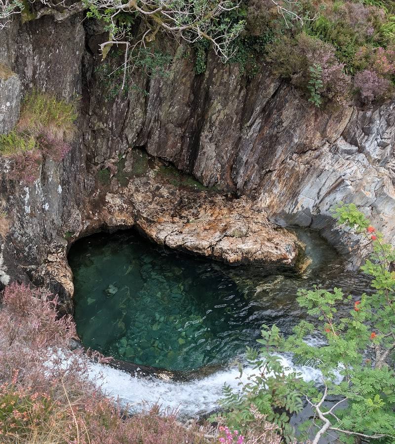
Keep exploring
Around Watkin Path Waterfall
Within 50 km · approximate straight-line distances