Near Ullapool, Assynt, Scottish Highlands
Stac Pollaidh
route · Countryside walk
Place photograph
9.1
Wildland
Half day
Time
Check
Cost
Dramatic
Feel
Why it's Wildland
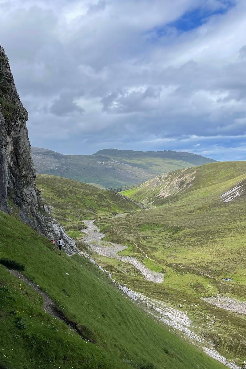
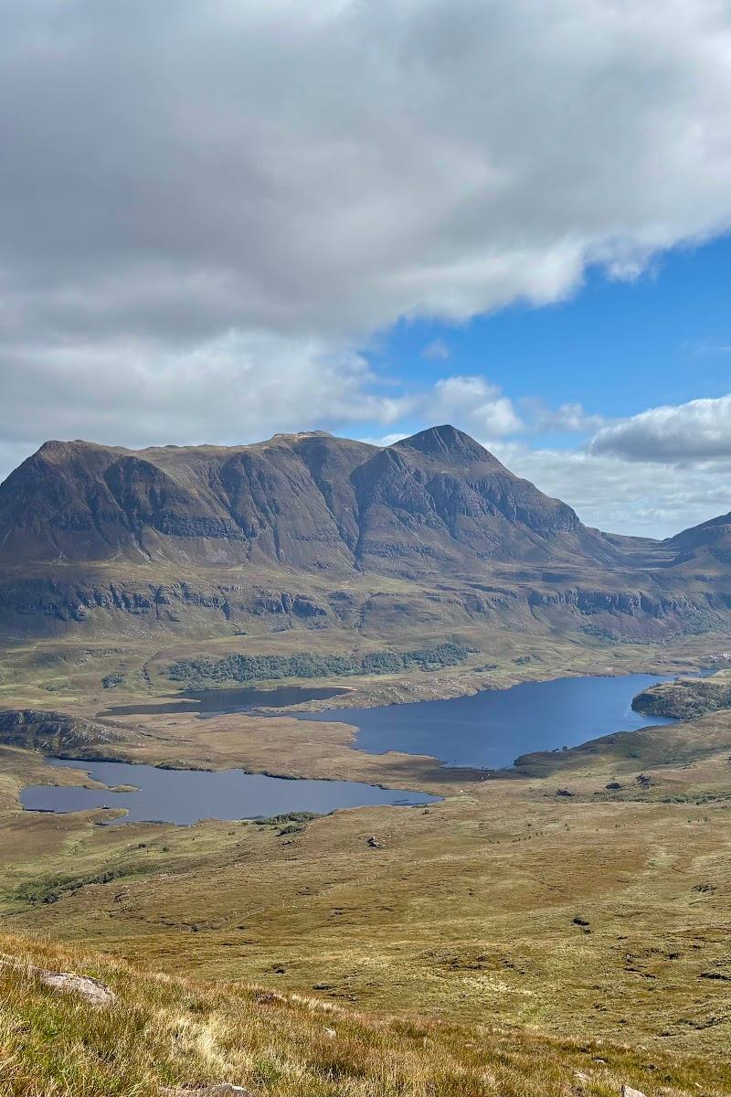
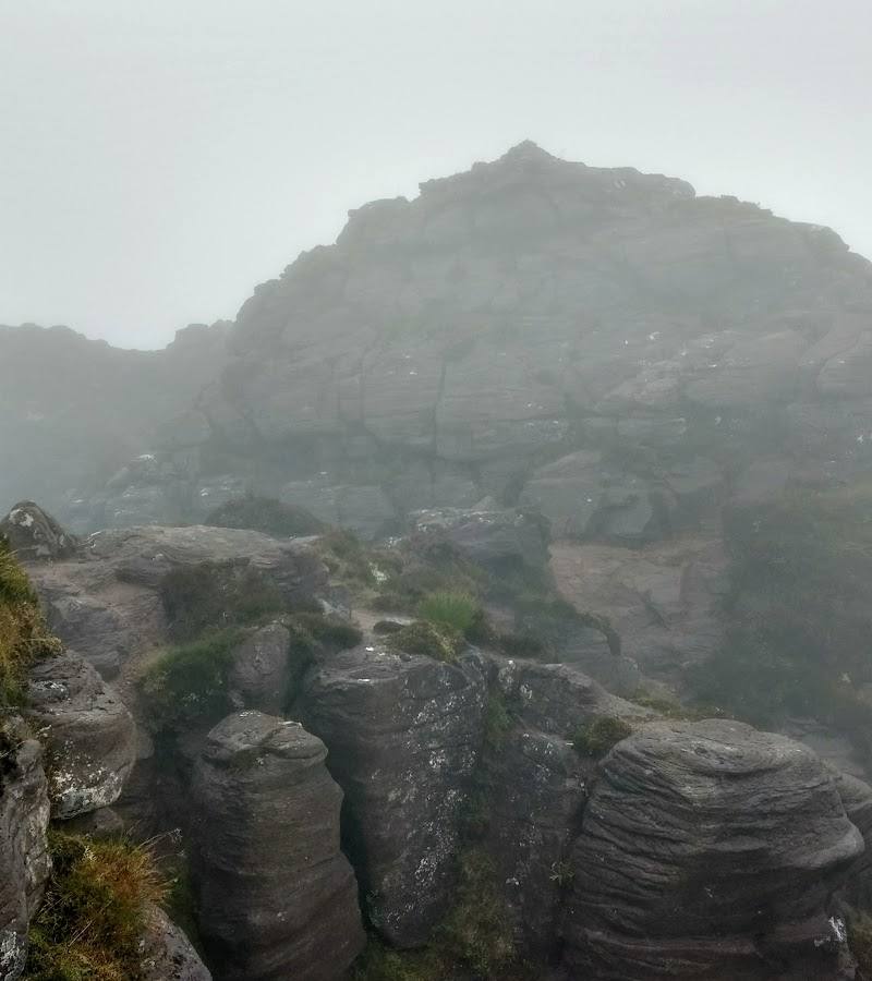
9.1Stac Pollaidh rises abruptly above the surrounding lochs, its jagged sandstone crest making a striking landmark in the Assynt landscape. A circuit follows the mountain path; reaching the eastern ridge involves a scramble, while the true western summit requires more advanced scrambling.
A compact but genuinely dramatic Highland ascent: Stac Pollaidh’s serrated sandstone skyline and far-reaching views give a short mountain walk the feel of a much bigger expedition. The exposed, rocky route deserves respect, and the ridge is not a casual extension of the circuit.
Dramatic · Wild · Big-sky
Find your way
Open mapNear Ullapool, Assynt, Scottish Highlands
Opening map…
Know this place a little better?
The experience
Follow the mountain path from the designated car park for a rocky circuit and wide views across Assynt. Allow roughly two to four hours, depending on conditions and pace. Treat the eastern ridge as a scramble and the true western summit as a technical objective, not an assumed part of the walk.
Things to do
Walk the Stac Pollaidh circuit
Follow the mountain path from the car park around the rocky mountain for its signature views. The supplied sources describe a roughly 4.5 km circuit and also give a three-mile estimate.
About 2–4 hours
Look for the sandstone pinnacles
Notice the jagged crest and rocky pinnacles that give Stac Pollaidh its distinctive outline.
Scan the Assynt panorama
On a clear day, look across Inverpolly towards neighbouring peaks including Suilven, the Summer Isles and the Minch.
Consider the eastern ridge scramble
The eastern ridge is described as reachable by a short scramble. Attempt it only if conditions and your experience make it appropriate.
Make a day of it
Quick escape · About 2–2.5 hours
Quick escape: the mountain circuit
- 01
Start from the designated car park at Stac Pollaidh.
- 02
Follow the mountain path for the circuit and take in the rocky crest and views where visibility allows.
- 03
Return by the circuit; do not assume that reaching the true western summit is part of the ordinary walk, as it requires advanced scrambling.
Half day · Allow 2–4 hours for the mountain circuit, with extra time for pauses
Make a half day of it: walk, pause and take in the Assynt views
- 01
Check the forecast and current parking information before travelling; the route is exposed and weather can obscure the views.
- 02
Walk the circuit from the car park, taking time to notice the sandstone pinnacles and the changing outlook across the surrounding lochs and mountains.
- 03
If conditions and experience allow, consider the eastern ridge scramble; leave the true western summit to those with the appropriate scrambling skills.
- 04
Return to the car park. No additional nearby stop is included because the supplied sources do not establish a specific worthwhile pairing for this outing.
Hidden details
The true western summit is a separate, harder objective — The circuit and eastern ridge should not be confused with reaching the true western summit, which the supplied route description says requires a high level of scrambling skill.
When to go
· Choose a time when the forecast offers the clearest conditions; no specific time of day is established by the sources.
The supplied sources do not establish a best season. Visibility and safe conditions matter more than a particular month on this exposed mountain.
The route is exposed and Highland weather can change quickly. A supplied hiking guide recommends warm and waterproof layers and sturdy boots; check a current mountain forecast before setting out.
The route
- ascent
- 445 m elevation gain reported by a supplied hiking guide
- surface
- Rocky mountain path; exposed terrain
- distance
- About 4.5 km (roughly 3 miles; sources vary slightly)
- duration
- About 2–4 hours; one guide estimates 2–2.5 hours
- difficulty
- Strenuous mountain walk; rocky path, with scrambling required for the eastern ridge and advanced scrambling for the true western summit
- route shape
- Circuit
- start point
- Designated car park at Stac Pollaidh, near Loch Lurgainn
- parking start
- Designated car park at the trailhead is reported. A supplied guide reports a £6 all-day charge; check current details.
- Jagged Torridonian sandstone crest and rocky pinnacles
- Views across Inverpolly towards Suilven, the Summer Isles and the Minch on clear days
- Optional eastern ridge scramble
What to look for
- 01
The jagged Torridonian sandstone pinnacles along the crest
- 02
on a clear day, look out across Inverpolly towards Suilven, the Summer Isles and the Minch.
Best time to go
No single season is verified as best. Choose a clear, settled day for views, and be prepared for rapidly changing Highland weather.
Aim for a clear, settled day when the summit views are not hidden by cloud. Check the mountain forecast before setting off.
How long to spend
Half day
Perfect for
Walkers · Photographers · Couples
Route at a glance
Duration
Half day
Terrain
Hills, Remote countryside
Parking / start
A designated car park is reported at the trailhead; a supplied hiking guide reports a £6 all-day charge. Check current availability and charges before travelling.
Before you go
Address
Google rating
Practical information
Opening & access
A mountain path starts from the designated car park at Stac Pollaidh. Check current access and parking arrangements before setting out.
Check before visiting
Parking
A designated car park is reported at the trailhead; a supplied hiking guide reports a £6 all-day charge. Check current availability and charges before travelling.
Check before visiting
Toilets
Check before visiting
Check before visiting
Food & drink
Check before visiting
Check before visiting
Dogs
Check before visiting
Check before visiting
Accessibility
A rocky mountain path with steep sections; the eastern ridge involves scrambling. Not suitable for visitors who need an accessible route.
Cost
Paid parking reported; check current charge
Check before visiting
Water
Lochs are visible from the route; no water activities are verified.
Gallery
Place photographs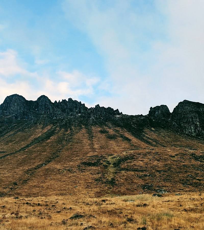
Keep exploring
Around Stac Pollaidh
Within 50 km · approximate straight-line distances