Achmelvich, near Lochinver, Sutherland, Scottish Highlands
Achmelvich Bay
Beach
Place photograph
8.2
Wildland
1–2 hours
Time
Check
Cost
Dramatic
Feel
Why it's Wildland
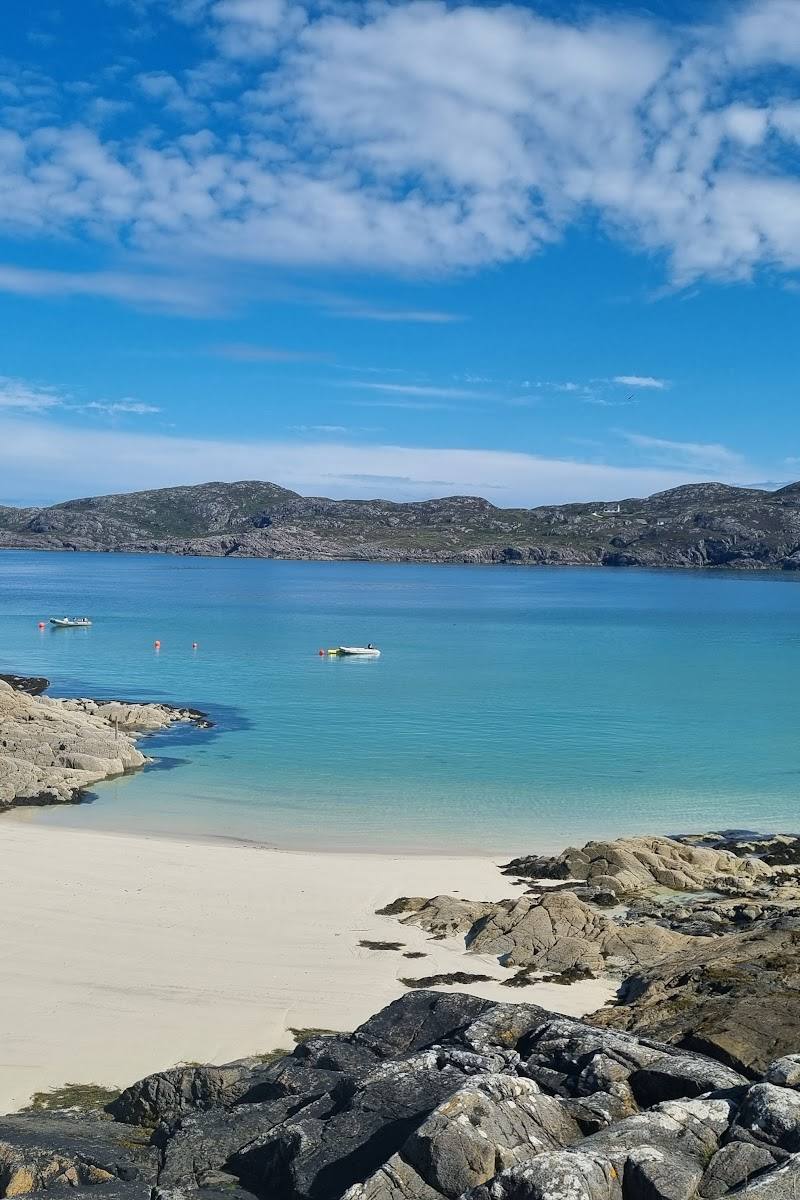
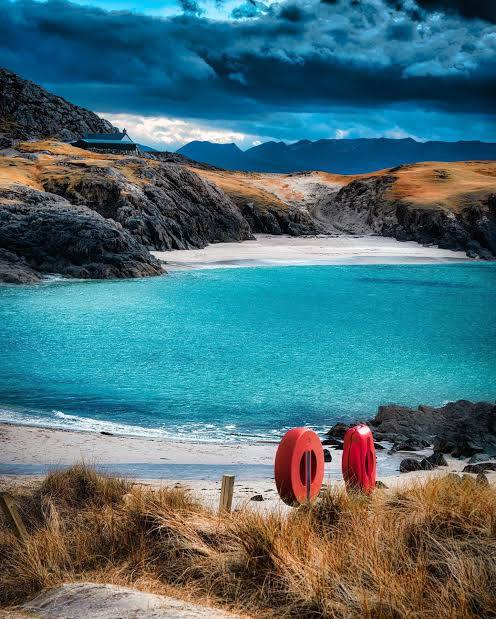
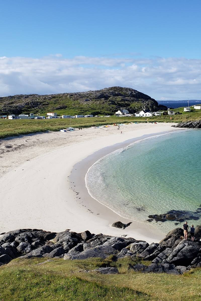
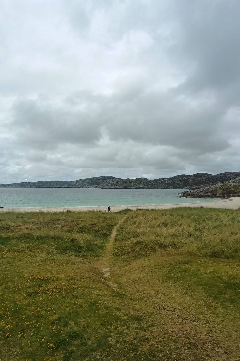
8.2White sand and clear, turquoise-looking water give Achmelvich Bay a striking contrast with the rugged northwest Highland coast. Beyond the main beach, a walk leads to a smaller, quieter shore and the remains of an old corn mill.
Achmelvich earns its place for more than its famous pale sand: the smaller beach, coastal views and old mill on the approach add texture to a dramatic stretch of Highland coast. The nearby route makes it possible to trade the busiest part of the bay for a quieter shoreline and a physical trace of local working history.
Dramatic · Wild · Big-sky
Find your way
Open mapAchmelvich, near Lochinver, Sutherland, Scottish Highlands
Opening map…
Know this place a little better?
The experience
Allow an hour or two for the bay and its shoreline. For a longer outing, a sourced 4.6 km route from a B869 lay-by near Clachtoll passes an old corn mill and continues over higher ground with sea views towards Achmelvich.
Things to do
Find the old mill and its millstones
The route passes the old corn mill at Alltan’abradhan. Its information board describes milling before the 1600s and through the 1800s; the account also notes millstones inside the walls.
Walk the approach for elevated sea views
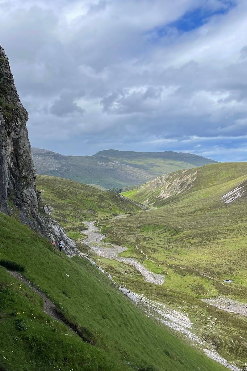
Follow the described track from the B869 lay-by near Clachtoll towards Achmelvich; the route crosses higher ground and offers views over the sea.
About 1 hour 30 minutes for the full 4.6 km route
Make a day of it
Quick escape · About 1 hour; visitor time varies
Quick escape: the main beach and bay
- 01
Visit the main white-sand beach.
- 02
Take in the bay and coastal views.
- 03
Explore the shoreline, checking local conditions before entering the water.
Verified history
The route source identifies the remains at Alltan’abradhan as an old corn mill. It says the mill was used before the 1600s and through the 1800s, and describes millstones inside the walls. This history relates to the walk near the bay, not to the beach itself.
Hidden details
Millstones at Alltan’abradhan — The route account notes old millstones inside the walls of the historic corn mill. It says an information board at the site gives details of the mill’s use.
The smaller beach — A walking account describes a smaller, more secluded beach as a scenic contrast to the popular main beach. Verify access and conditions locally.
When to go
· Not established by the supplied sources; check local conditions.
The supplied sources do not establish a best season or dependable seasonal wildlife or beach conditions.
Check the local forecast and coastal conditions before travelling or entering the water.
The route
- ascent
- 215 m
- surface
- A good track is described; other surface details are not supplied.
- distance
- 4.6 km
- duration
- About 1 hour 30 minutes, excluding time spent at the beach
- waymarking
- The route source describes a path signed “Mill” and signs towards Achmelvich.
- start point
- Small lay-by on the B869 Drumbeg Road near Clachtoll
- parking start
- The route source describes a small lay-by at the start. Confirm parking suitability and current conditions before travelling.
- Old corn mill at Alltan’abradhan
- Millstones inside the mill walls
- Sea views from higher ground
- Achmelvich Bay and its beaches
What to look for
On the route via Alltan’abradhan, look for the old mill and millstones within its walls. At the bay, compare the well-known main beach with the smaller, more secluded beach described by the route source.
The story
A historic corn mill on the walking route near Alltan’abradhan; the source says it milled corn before the 1600s and through the 1800s.
Best time to go
Check local conditions before travelling; no specific seasonal peak is established by the supplied sources.
No month-by-month or time-of-day recommendation is established by the supplied sources. Check local conditions before setting out.
How long to spend
1–2 hours
Perfect for
Walkers · Photographers · Swimmers
Before you go
Address
Google rating
Practical information
Opening & access
A popular beach reached by road; a separate 4.6 km walking route approaches the bay from a lay-by on the B869 near Clachtoll. Check current access and parking conditions before travelling.
Check before visiting
Parking
A source describes a small lay-by on the B869 near Clachtoll as the start of a 4.6 km walk to the bay. Parking at the beach itself: Check before visiting.
Check before visiting
Toilets
Check before visiting
Check before visiting
Food & drink
Check before visiting
Check before visiting
Dogs
Check before visiting
Check before visiting
Accessibility
The supplied sources do not establish accessible routes or facilities. The described walk includes higher ground; check conditions and suitability before setting out.
Check before visiting
Cost
Check before visiting
Check before visiting
Water
Sea
Gallery
Place photographs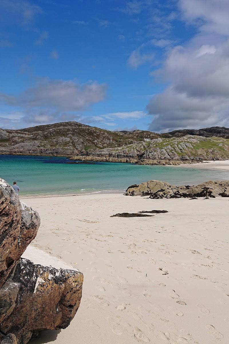
Keep exploring
Around Achmelvich Bay
Within 50 km · approximate straight-line distances