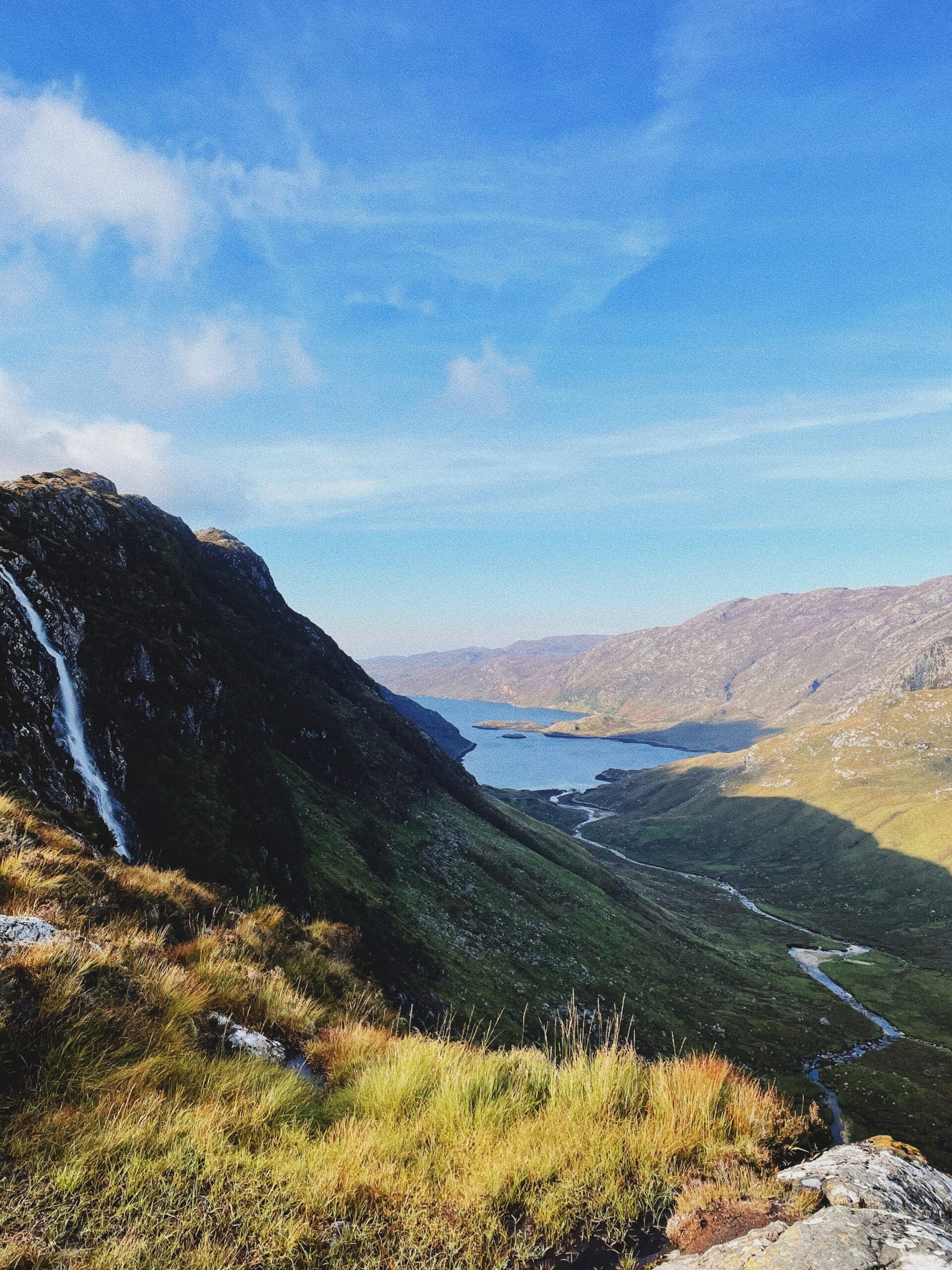
Assynt, Sutherland, Highlands, Scotland
Eas a’ Chual Aluinn
Waterside landscape
Place photograph
8.8
Wildland
Half day
Time
Check
Cost
Dramatic
Feel
Why it's Wildland
8.8Britain’s highest waterfall drops roughly 200 metres from an Assynt plateau — but the walk above it reveals only part of the fall.
The height earns the headline, but the approach makes the journey: boggy ground gives way to rocky hillocks, small lochans and a plateau overlooking Glen Coul. This is a substantial wilderness outing, not a roadside waterfall stop, and its limited views from above deserve honest expectations.
Dramatic · Wild · Remote
Find your way
Open mapAssynt, Sutherland, Highlands, Scotland
Opening map…
The experience
Allow 4–5 hours for the return walk from Loch na Gainmhich, with extra contingency for conditions. Pass boggy ground and rocky uplands near Loch Bealach a’ Bhuirich before reaching the plateau above the falls. Treat the landscape as the main reward: do not approach the cliff lip or descend beneath it to improve the view. A published alternative for seeing the whole drop is a good-weather cruise from Kylesku, subject to current operation.
Things to do
Walk the upland approach to the falls
A demanding out-and-back walk through boggy and rocky terrain to the plateau above Britain’s highest waterfall. Navigation and sound judgement at crossings are essential; this description is not a turn-by-turn route guide.
4–5 hours
Pause near Loch Bealach a’ Bhuirich
Look for the small loch and scattered Lewisian gneiss boulders on the approach. This rocky landscape is a worthwhile subject in its own right, even when the waterfall is running low.
Make a day of it
Quick escape · 4–5 hours walking; allow additional contingency
The shortest worthwhile visit is still a serious hill walk
- 01
Begin at the documented parking area by the A894 hairpin at the north end of Loch na Gainmhich. Carry OS Explorer 442, a compass, suitable footwear, waterproofs, food and water; know how to navigate.
- 02
Assess the loch outflow before attempting the stepping stones. Turn back if water levels or footing make the crossing unsafe.
- 03
Follow a properly planned route through the boggy approach and rocky uplands near Loch Bealach a’ Bhuirich, pausing for the lochan and gneiss scenery.
- 04
At the plateau, remain well back from cliff edges. Accept a limited view rather than following exposed ground for a better photograph; do not climb beneath the falls.
- 05
Return by the outward route, leaving ample daylight and energy for the wet, uneven ground.
Verified history
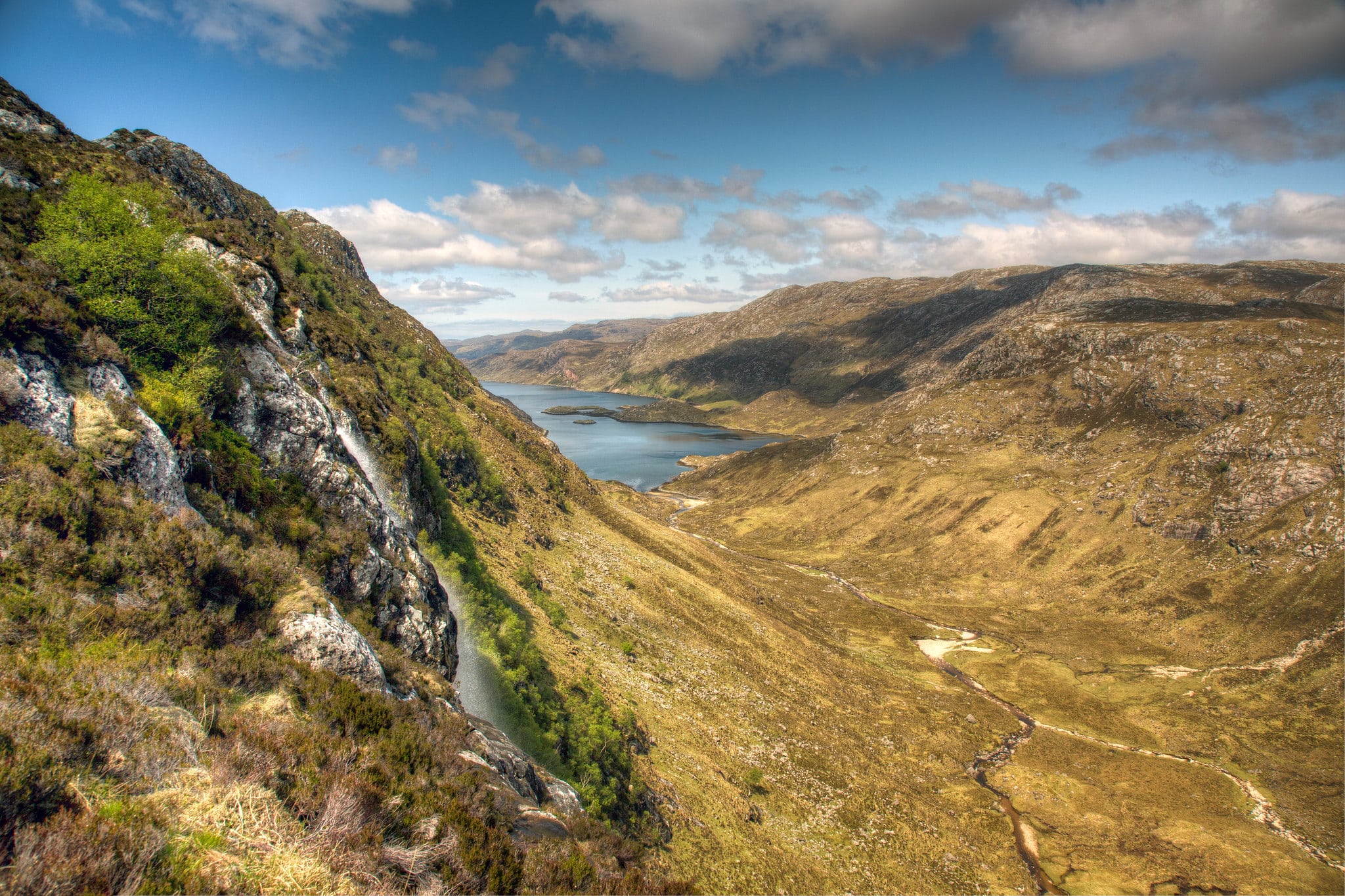
The supplied accounts explain the name as an anglicised Gaelic form meaning ‘waterfall of the beautiful tresses’. The physical story is stronger than the documented human history here: water falls roughly 200 metres in two steps from the plateau above Glen Coul. Its scale also explains the visitor’s paradox — from the walking approach above, the whole drop remains hidden.
Hidden details
The record-breaking drop is not the walking viewpoint — The published walking account makes clear that only the upper section can be seen from above. Do not mistake a faint cliff-edge track for a safe viewing platform or move closer to try to reveal the whole fall.
A second waterfall across the glen — Britain Express identifies Eas-an-t-Strutha Ghil as a smaller waterfall visible across the glen in clear weather. Look across the landscape from well back from exposed edges.
When to go
· An early start with ample daylight for a 4–5-hour return walk and contingency.
No reliable month-by-month optimum is established by the supplied evidence. Summer flow can be low; winter and wet weather bring muddier conditions.
Heavy rain can submerge the stepping stones and make crossings unsafe. Rough ground, slippery rock and sheer cliffs require caution. Do not follow the source row’s suggestion to visit immediately after heavy rain solely for stronger flow. The source row reports no phone signal; plan navigation and emergency communication accordingly.
The route
- ascent
- Approximately 476 m, from AllTrails’ 1,561 ft elevation gain
- surface
- Boggy ground, rough rock, faint track and stepping-stone crossings
- distance
- Approximately 10 km return; AllTrails records 6.3 miles
- duration
- 4–5 hours, with additional contingency for conditions
- difficulty
- Hard; experienced, equipped hill walkers
- waymarking
- Not signposted; map and navigation skills required
- route shape
- Out and back
- start point
- North end of Loch na Gainmhich
- parking start
- Parking area beside the A894 hairpin bend at the north end of Loch na Gainmhich; check current restrictions
- Loch Bealach a’ Bhuirich
- Lewisian gneiss boulders
- Glen Coul landscape
- Plateau above Britain’s highest waterfall
Worth pairing with
Loch Glencoul cruise from Kylesku
A worthwhile alternative to the upland view because it can reveal the full waterfall. A published account places departures near Kylesku Hotel in good weather. Current service and timings need confirmation; do not assume it fits after the hike.
What to look for
- 01
The scattered Lewisian gneiss boulders around Loch Bealach a’ Bhuirich
- 02
the change from boggy ground to a rocky upland landscape
- 03
views across Glen Coul. The full waterfall is not visible from the walking approach above it.
Best time to go
Choose settled weather and sufficient daylight; flow can be low in summer.
Start early enough to return comfortably in daylight. Choose clear, settled conditions rather than chasing maximum flow after heavy rain: the stepping stones can become submerged or slippery, and the approach becomes wetter. Summer visitors sometimes find little water in the falls.
How long to spend
Half day
Perfect for
Walkers · Photographers
Practical information
Opening & access
Reached by a demanding, unsigned walk from Loch na Gainmhich: roughly 10 km return, allowing 4–5 hours. Navigation skills are essential. Water crossings and sheer cliffs present serious hazards; this is not a beginner walk.
Parking
Britain Express identifies a parking area beside the A894 hairpin bend at the north end of Loch na Gainmhich. Capacity, restrictions and current availability: check before visiting.
Check before visiting
Toilets
The source row reports no toilets nearby. Check before visiting.
Check before visiting
Food & drink
No on-site food facilities are reported. Carry food and water.
Dogs
Check before visiting. The source row marks dogs as welcome, but supplied research does not establish local rules; crossings and cliff exposure make this a demanding outing for dogs too.
Check before visiting
Accessibility
Rough, boggy, rocky ground, stepping-stone crossings and exposed terrain. The source row records no wheelchair access. Suitable only for walkers equipped for a demanding, unsigned hill walk.
Water
Waterfall
Gallery
Place photographs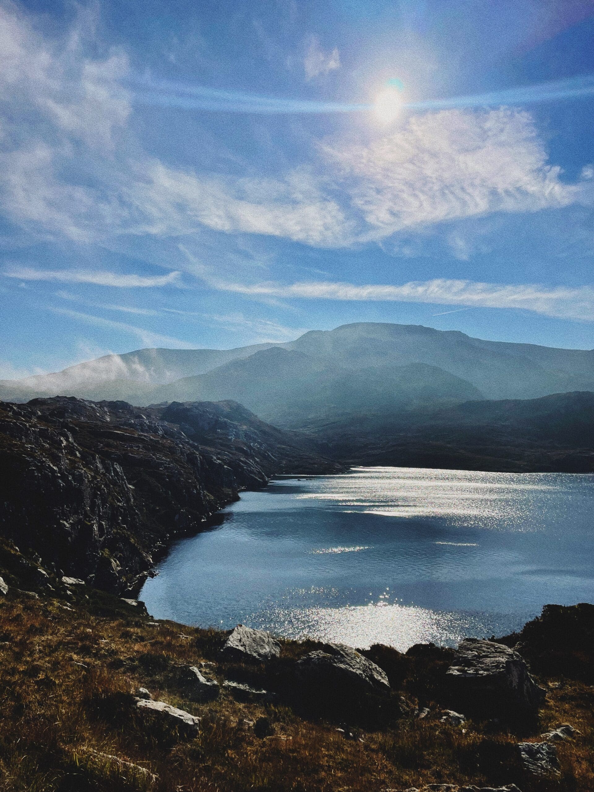
Keep exploring
Around Eas a’ Chual Aluinn
Within 50 km · approximate straight-line distances
 Place photograph8.0
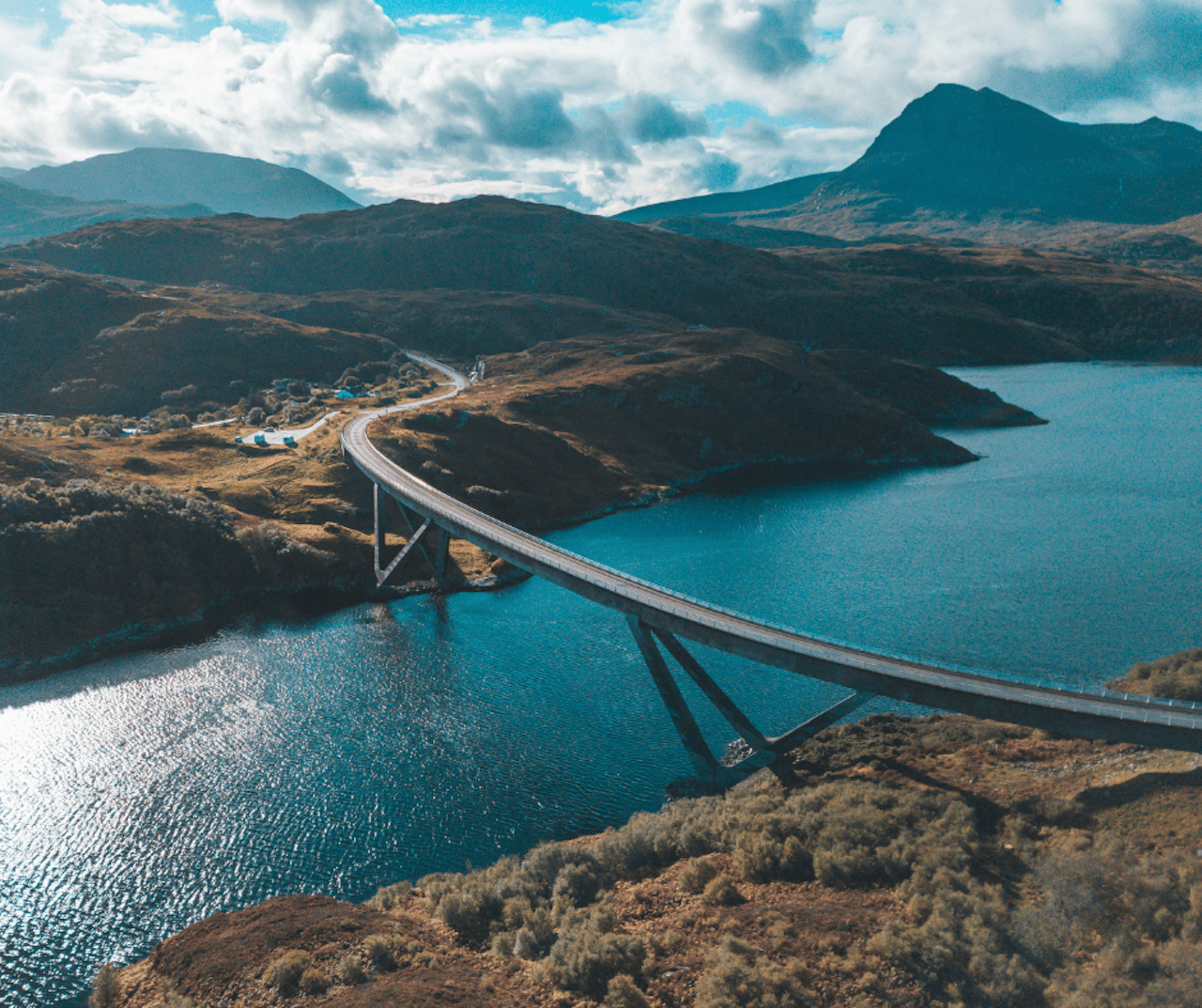
Kylesku Bridge
A894 at Kylesku, Sutherland, north-west Highlands, Scotland
8.1 km away
 Place photograph7.1
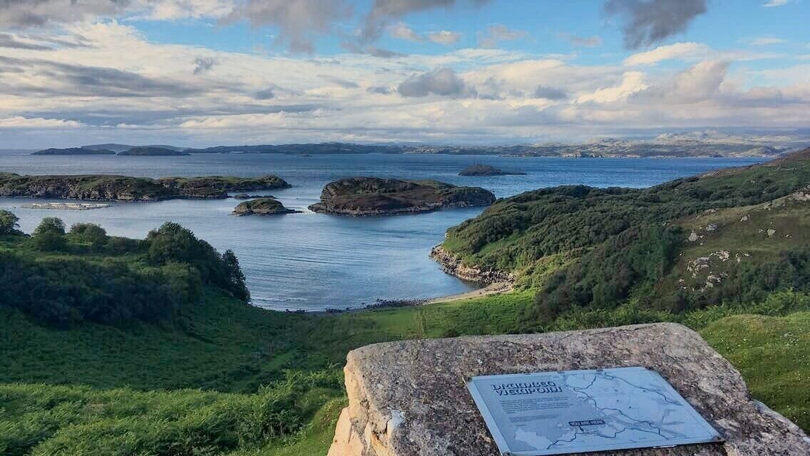
Drumbeg Viewpoint
West end of Drumbeg village, B869, Assynt, Sutherland, Scotland
13.1 km away