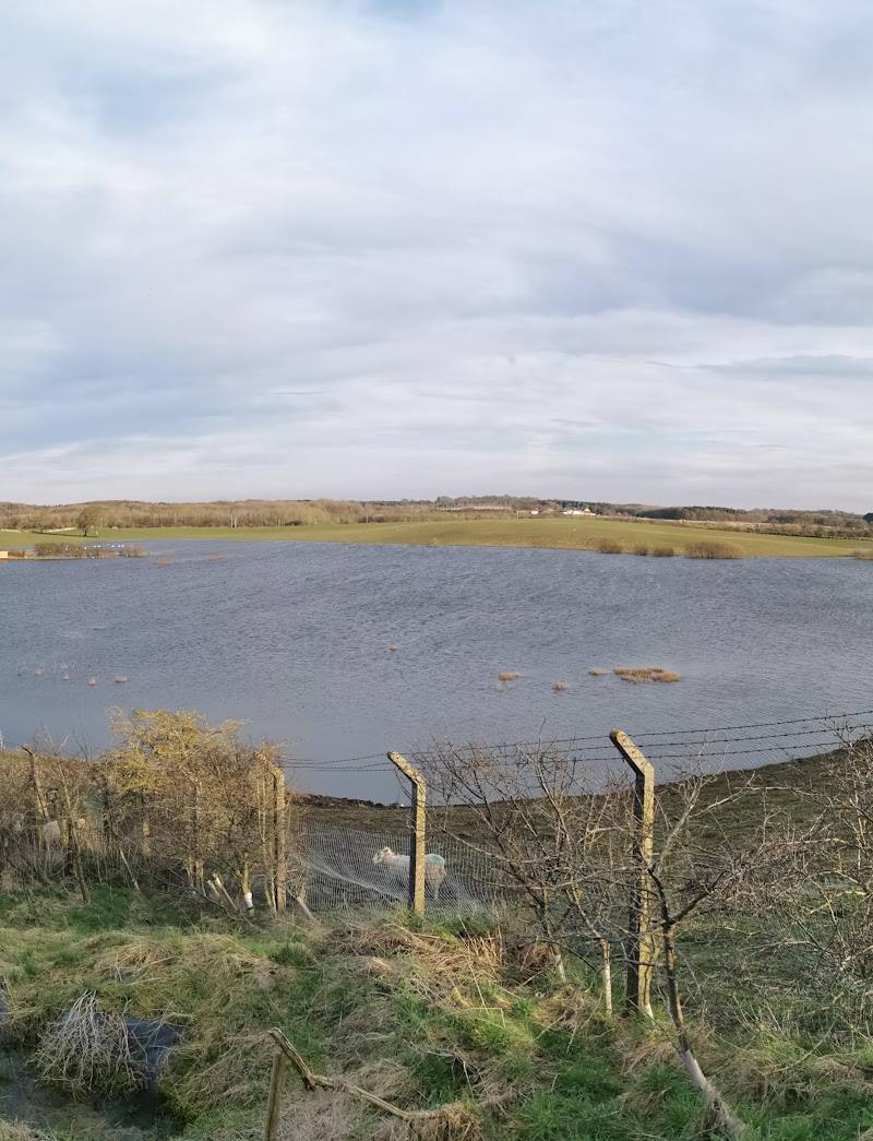
South Burdon, near Darlington, County Durham
South Burdon Community Woodland
route · Woodland walk
Place photograph
4.4
Wildland
1–2 hours
Time
Check
Cost
Peaceful
Feel
Why it's Wildland
4.4A straightforward way to explore the South Burdon area on foot: the mapped out-and-back route runs for about 4.1 miles on mostly level paths, with a mix of natural, gravel and paved surfaces.
The appeal here is an easy, practical walk rather than a remote wilderness experience: a mostly level route of around four miles makes for an accessible outing near Darlington. The available route information does not verify specific woodland wildlife, historic features or facilities, so check details before you go.
Peaceful
Find your way
Open mapSouth Burdon, near Darlington, County Durham
Opening map…
Know this place a little better?
The experience
Follow the listed out-and-back route for an easy walk of about 4.1 miles. It is described as mostly level, with paths suited to walking, running or cycling. Watch for livestock and busy roads, particularly with a dog.
Things to do
Walk the South Burdon out-and-back
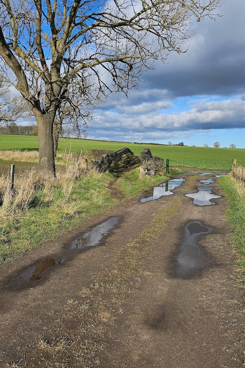
Follow the listed 4.1-mile route, described as easy and mostly level. The mapped surface is predominantly natural and gravel, with some paved sections.
1–1.5 hours
Bring a dog, with care
The route listing describes the walk as dog-friendly, while warning that livestock and busy roads are nearby. Keep your dog under control and be alert around both.
Make a day of it
Quick escape · 1–1.5 hours
A short South Burdon walk
- 01
Follow the South Burdon route for the mapped out-and-back walk.
- 02
Allow time for the mostly level trail and take care around livestock and nearby busy roads.
When to go
· No specific time of day is established by the available route information.
The route listing does not identify a preferred season. Check current conditions before visiting.
Check the forecast and trail conditions before setting out; route conditions can vary.
The route
- ascent
- 45 ft
- surface
- Natural (59%), gravel (31%), paved (10%); less than 1% unknown
- distance
- 4.1 miles
- duration
- 1–1.5 hours
- difficulty
- Easy
- route shape
- Out and back
- start point
- South Burdon route; precise start point not specified in the source excerpt.
- parking start
- Check before visiting; parking information is not specified.
- Mostly level route
- Mix of natural, gravel and paved trail surfaces
What to look for
Notice the changing path surfaces along the route: the listing records natural, gravel and paved sections. Watch for livestock and nearby roads.
Best time to go
Year-round, subject to current route conditions.
No specific best time is established by the available route information. Check conditions before setting out.
How long to spend
1–2 hours
Perfect for
Walkers · Dogs · Families
Route at a glance
Duration
1–2 hours
Terrain
Woodland
Parking / start
Check before visiting; parking information is not confirmed.
Practical information
Opening & access
A short, easy, mostly level route is listed at South Burdon. Check current access and route conditions before setting out. Access arrangements are unconfirmed. Check before visiting; do not enter private land or restricted structures.
Check before visiting
Parking
Check before visiting; parking information is not confirmed.
Check before visiting
Toilets
Check before visiting
Check before visiting
Food & drink
The route listing notes amenities in Middleton St George; check before visiting for current options.
Check before visiting
Dogs
Dogs are noted as suitable, but livestock and busy roads nearby require care. Keep dogs under control.
Accessibility
The route is described as easy and relatively level, with an elevation gain of about 45 ft. Wheelchair suitability is not verified; surfaces include natural, gravel and paved sections. Check conditions before visiting.
Check before visiting
Cost
Check before visiting
Check before visiting
Gallery
Place photographsKeep exploring
Around South Burdon Community Woodland
Within 50 km · approximate straight-line distances
 Source image5.4
Serpentine Lake
Hyde Park, London
14.0 km away