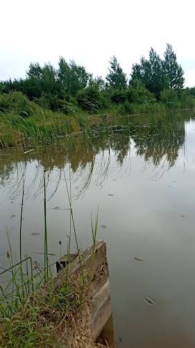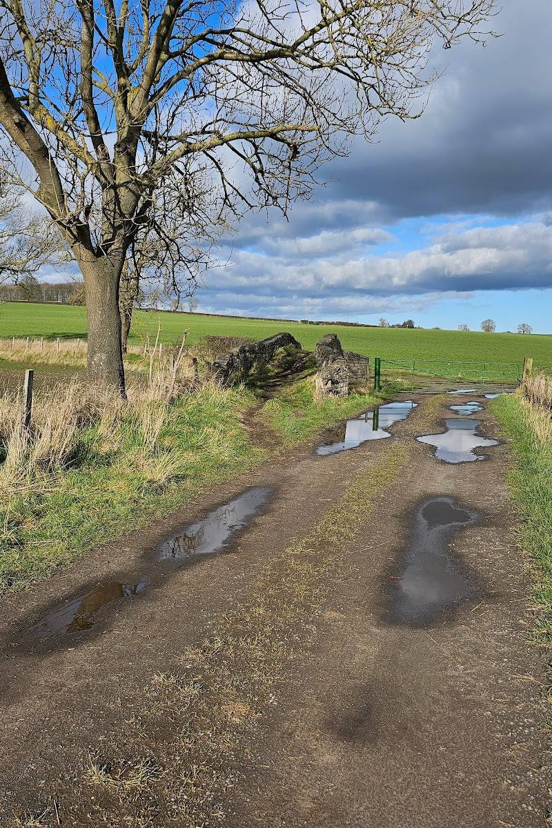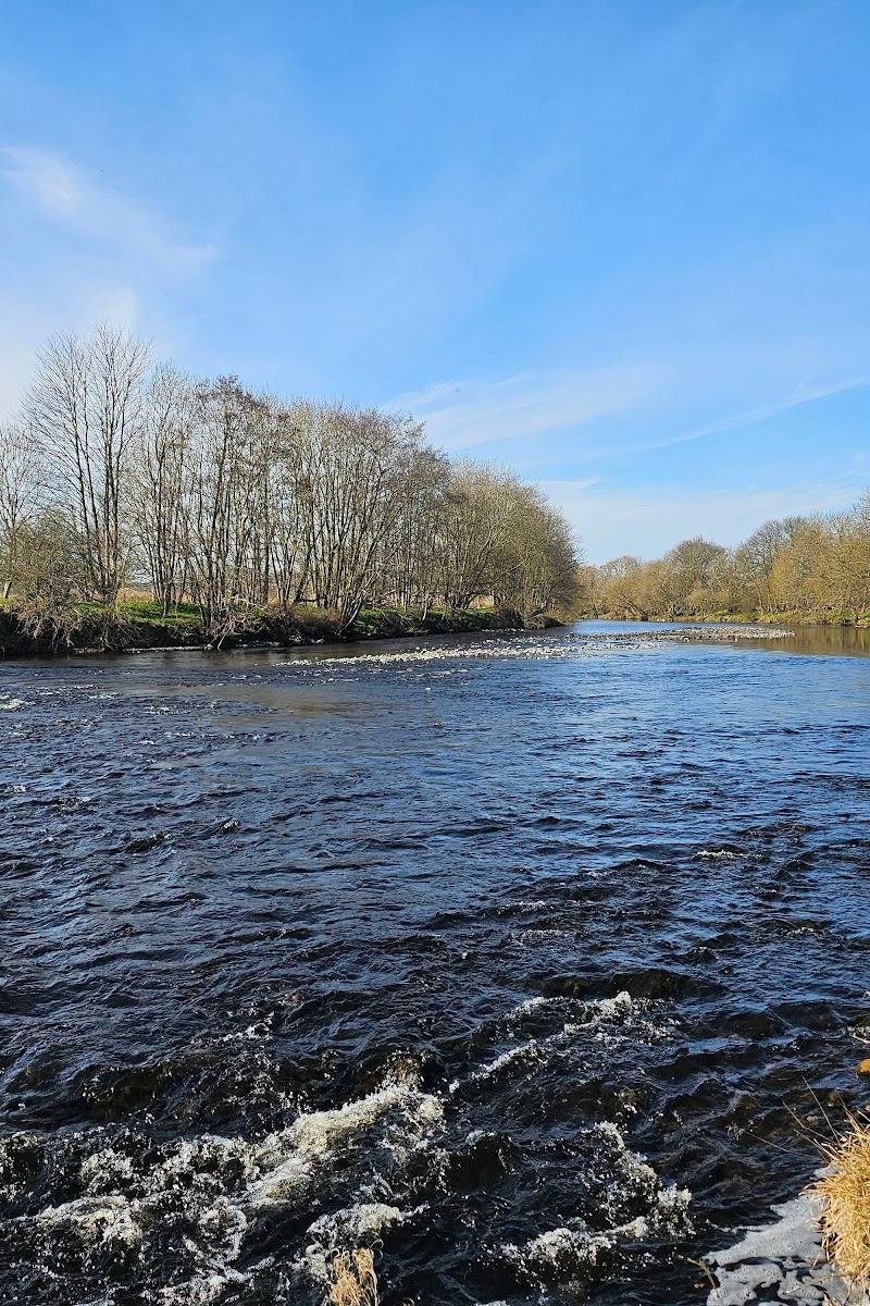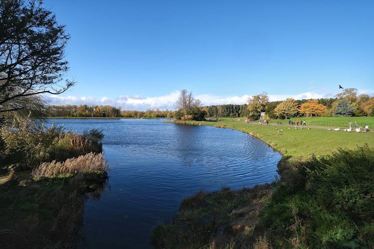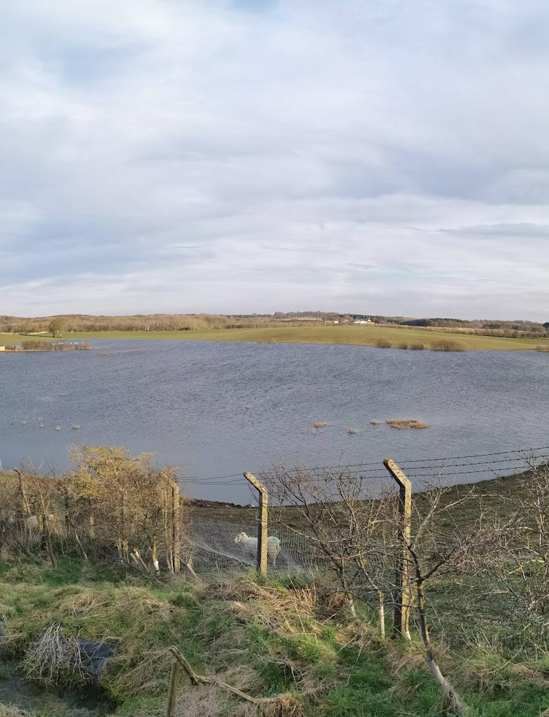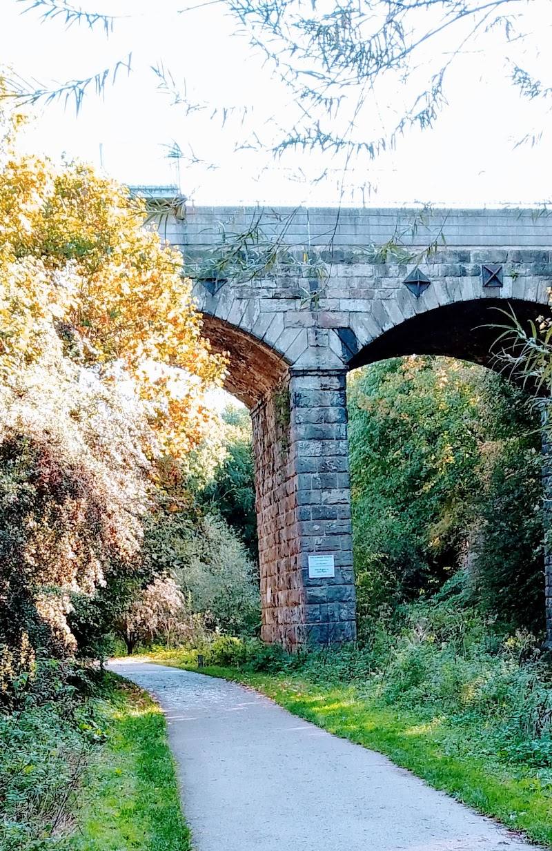
Rockwell Local Nature Reserve, Darlington, County Durham. The reserve is described as being in the Skerne area of Darlington.
Rockwell Local Nature Reserve
Mixed-habitat reserve
Place photograph
4.3
Wildland
1–2 hours
Time
Check
Cost
Peaceful
Feel
Why it's Wildland
4.3A town-edge reserve where the River Skerne runs through a mix of urban parkland, woods and ponds.
Rockwell’s appeal is its contrast: a riverside green space close to Darlington, with wooded and pond-side areas alongside more open parkland. The mapped orienteering courses offer a practical way to explore, but check conditions and access details before setting out.
Peaceful
Find your way
Open mapRockwell Local Nature Reserve, Darlington, County Durham. The reserve is described as being in the Skerne area of Darlington.
Opening map…
Know this place a little better?
The experience
Explore the reserve’s mix of parkland, woods and ponds, or use one of the listed orienteering maps. The available information does not establish a specific walking circuit, distance or duration.
Things to do
Explore with an orienteering map
Several Rockwell LNR orienteering maps are listed, including short, medium and long courses. Check the course information for the relevant start point and suitability.
Explore the different habitats
The reserve is described as a combination of urban parkland, woods and ponds, with the River Skerne running through the local nature reserve.
Make a day of it
Quick escape · Check course details before setting out.
A short orienteering visit
- 01
Choose the Rockwell LNR FYW short map.
- 02
Use the course information to plan your visit; confirm the start point and current access arrangements before travelling.
When to go
· No verified recommendation.
The supplied sources do not establish a best season.
Check local conditions before visiting. The supplied sources do not confirm seasonal path conditions.
What to look for
Notice the change between open parkland, wooded areas and ponds, and look for the River Skerne where it runs through the reserve. Specific wildlife sightings are not confirmed by the supplied evidence.
Best time to go
No season-specific guidance is verified. Check conditions before visiting, particularly after wet weather.
No verified best time of day or season is available. Check conditions before setting out.
How long to spend
1–2 hours
Perfect for
Walkers · Families · Dogs
Practical information
Opening & access
Orienteering information identifies the reserve and gives access points at the Springfield pub car park and an informal parking area at its eastern end. Check current access and parking arrangements before visiting.
Check before visiting
Parking
Orienteering information lists the Springfield pub car park and an informal parking area at the eastern end of the reserve. Check local arrangements before travelling.
Check before visiting
Toilets
Check before visiting.
Check before visiting
Food & drink
Check before visiting.
Check before visiting
Dogs
The source row marks the reserve as dog-friendly. Check any local rules before visiting.
Check before visiting
Accessibility
Orienteering information identifies at least one wheelchair-accessible route, described as the short FYW course. Confirm route and surface conditions before visiting.
Cost
Check before visiting
Check before visiting
Water
River, Pond
Gallery
Place photographsKeep exploring
Around Rockwell Local Nature Reserve
Within 50 km · approximate straight-line distances