Low Coniscliffe to High Coniscliffe, near Darlington, County Durham
Low Coniscliffe to High Coniscliffe Circular
route · Waterside walk
Source image
5.3
Wildland
Half day
Time
Check
Cost
Peaceful
Feel
Why it's Wildland
5.3A riverside path follows the winding Tees from Low Coniscliffe towards High Coniscliffe, before turning back across farm fields.
A practical way to experience a quieter stretch of the Tees, with a riverside section and open farmland in one circular walk. Its appeal is the landscape and the satisfying loop rather than a single landmark.
Peaceful
Find your way
Open mapLow Coniscliffe to High Coniscliffe, near Darlington, County Durham
Opening map…
The experience
The sourced option is a roughly six-mile circular walk between Low and High Coniscliffe. Follow the Tees-side path towards High Coniscliffe, then return across farm fields. Allow around two to two and a half hours, with extra time for a stop.
Things to do
Follow the Tees-side path
Walk beside the winding River Tees between Low and High Coniscliffe.
Return across the farm fields
Complete the loop on the inland return leg through farmland.
Make a day of it
Quick escape · Not specified
Quick Riverside Out-and-Back
- 01
Start in Low Coniscliffe and follow the riverside path beside the River Tees.
- 02
Turn back when you have reached the distance that suits you; the supplied sources do not specify a short-route turnaround point.
Half day · 2–2.5 hours
Complete the Coniscliffe Circular
- 01
Follow the riverside path from Low Coniscliffe towards High Coniscliffe.
- 02
Continue through High Coniscliffe, then take the return leg across the farm fields.
- 03
Consider a pub stop in High Coniscliffe; check opening and availability before relying on it.
When to go
The supplied sources do not identify a best season or time of day.
The route may be muddy after rain; prepare for wet or uneven conditions.
The route
- ascent
- 104 ft
- surface
- Riverside path and farm-field paths; can be muddy after rain.
- distance
- 6.1 miles
- duration
- 2–2.5 hours
- difficulty
- Easy
- route shape
- Loop
- start point
- Low Coniscliffe; the precise start point is not verified.
- parking start
- Not verified; check before visiting.
- shorter alternative
- An out-and-back on the riverside section is possible, but no specific shorter distance or turnaround point is verified.
- Riverside walking beside the River Tees
- High Coniscliffe
- Return leg across farm fields
Worth pairing with
Pub in High Coniscliffe
The circular-walk source suggests a pub stop in High Coniscliffe. A video source names the Spotted Dog, but current opening and availability are not verified.
What to look for
Notice how the route changes from the riverside path to open farm fields on the return leg. The supplied sources do not verify particular wildlife or historic features to seek out.
Best time to go
No season-specific information supplied; check conditions before visiting.
No specific best time is supported by the supplied sources. Check the forecast and recent path conditions before setting out.
How long to spend
Half day
Perfect for
Walkers · Dogs
Route at a glance
Duration
Half day
Terrain
Riverside, Farmland
Parking / start
Start-point parking is not verified. Check before visiting.
Practical information
Opening & access
A described circular walking route beside the River Tees and across farmland. Check current access and route conditions before setting out.
Check before visiting
Parking
Start-point parking is not verified. Check before visiting.
Check before visiting
Toilets
Check before visiting
Check before visiting
Food & drink
A pub stop in High Coniscliffe is mentioned in the route source; check current opening and availability.
Check before visiting
Dogs
The source row marks this route dog-friendly; check current signs and keep dogs under control around farmland and livestock.
Check before visiting
Accessibility
The circular route is described as reasonably flat and easy to follow, but surface and accessibility details are not fully verified. Check conditions before setting out.
Check before visiting
Cost
Check before visiting
Check before visiting
Water
River Tees
Gallery
Place photographsKeep exploring
Around Low Coniscliffe to High Coniscliffe Circular
Within 50 km · approximate straight-line distances
 Source image5.4
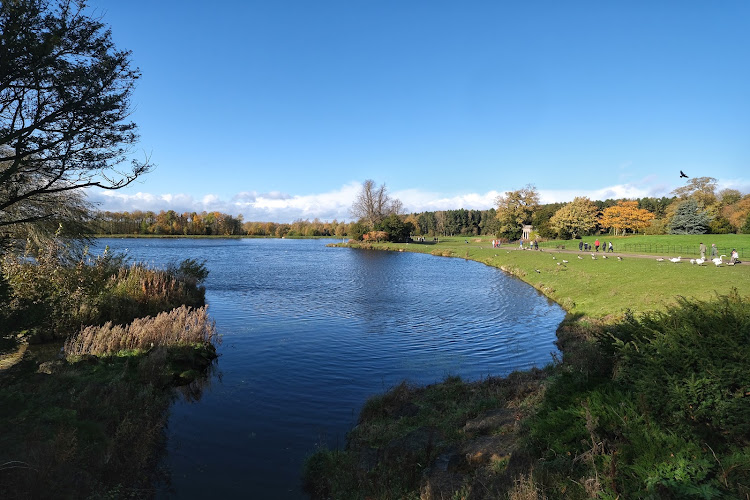
Serpentine Lake
Hyde Park, London
18.3 km away
Castle Lake, Bishop Middleham
Behind St Michael’s Church, Bishop Middleham, County Durham
18.8 km away
Low Burnhall
South Road, Durham
26.4 km away