4.3
Wildland
1–2 hours
Time
Check
Cost
Peaceful
Feel
Why it's Wildland
4.3An ornamental lake with an unexpectedly deep past: its creation in the mid-18th century reportedly brought Roman coins and a burial site to light.
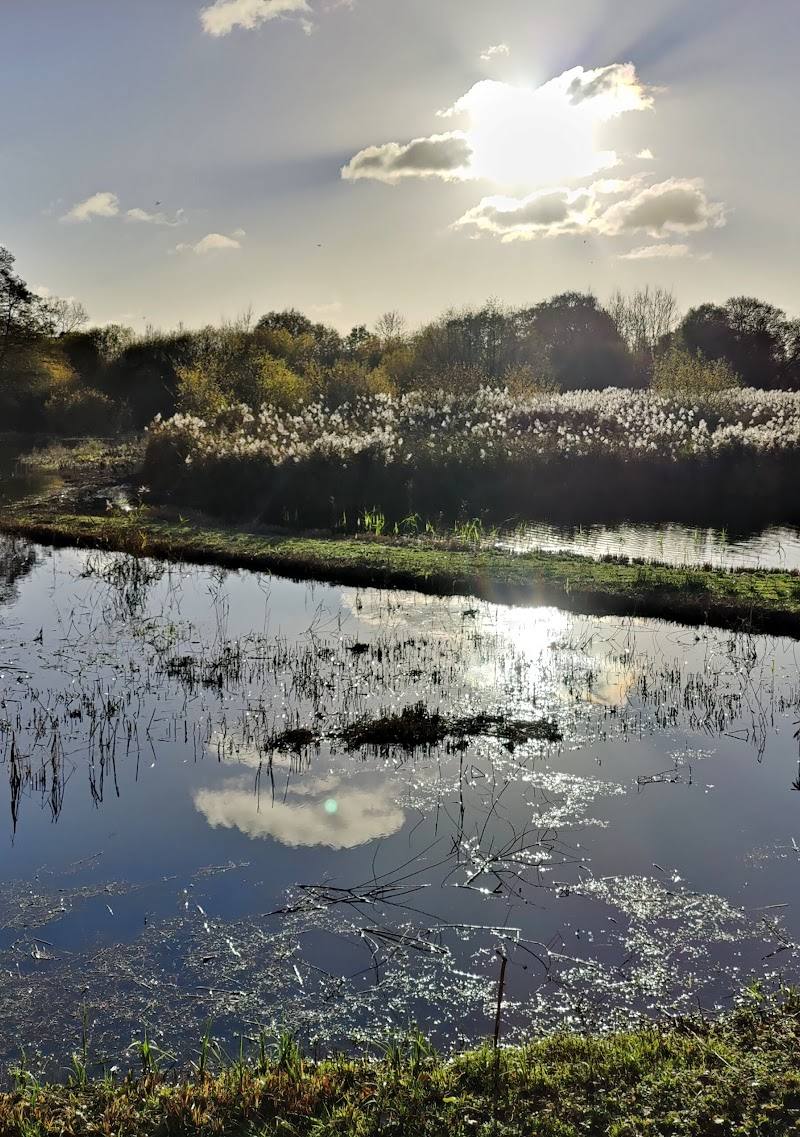
Shardeloes Lake offers a waterside setting with walking trails and a documented connection to the history of the Shardeloes estate. The lake’s surroundings invite a quiet walk, while the story beneath the water’s surface gives the landscape more depth than a simple scenic stop.
Peaceful
Find your way
Open mapAmersham, Buckinghamshire
Opening map…
Know this place a little better?
The experience
Use the trails around Shardeloes Lake for a waterside walk and time for photography or wildlife watching. Its history is part of the experience too: the lake was created during 18th-century work on the estate, when archaeological finds were reported. Confirm access and practical arrangements before travelling.
Things to do
Walk a trail near the lake
AllTrails describes trails near Shardeloes Lake and says the area is best seen from a trail. Check access, route details and conditions before visiting.
Make a day of it
Quick escape · 1–2 hours
A short lakeside escape
- 01
Check current access arrangements before setting out.
- 02
Follow a trail near Shardeloes Lake.
- 03
Pause for lakeside photography and wildlife watching.
Verified history
Shardeloes Lake was part of mid-18th-century work on the estate. An account quoted by Amersham Museum describes a 1753 letter reporting that Roman coins and a burial site were found as a large body of water was being made. The museum also records that the lake was drained during the Second World War. These details are drawn from the museum’s historical account; the reported finds are not evidence that remains are visible at the lake today.
Hidden details
Roman finds reported during the lake’s creation — Amersham Museum quotes a 1753 letter describing Roman coins and a burial site found during work on the lake. The source does not identify a visitor-accessible findspot.
The lake was drained during the Second World War — The museum’s account says the lake was drained during the war and the parkland ploughed. It notes that silt from the lake was spread over surrounding land.
When to go
April · May · June · July · August · Not specified by the supplied sources.
The source row suggests spring and summer for pleasant weather and green surroundings; it gives no more specific seasonal wildlife or landscape detail.
Check the forecast and trail conditions before visiting. Access and route surfaces are not confirmed.
What to look for
Look beyond the lake’s surface to its layered story: a letter from 1753 described Roman coins and a burial site found during work on the lake. The supplied historical account also records that the lake was drained during the Second World War.
The story
Estate landscape; Roman archaeology
Best time to go
Spring and summer are suggested in the source row; confirm current conditions before setting out.
The source row recommends spring and summer for pleasant weather and green surroundings. Current conditions and access should be checked before visiting.
How long to spend
1–2 hours
Perfect for
Walkers · Photographers · Wildlife lovers
Practical information
Opening & access
Access arrangements are not confirmed by the supplied sources. Check before visiting and follow any local signs. Access arrangements are unconfirmed. Check before visiting; do not enter private land or restricted structures.
Check before visiting
Parking
Check before visiting; parking arrangements are not confirmed by the supplied sources.
Check before visiting
Toilets
Check before visiting.
Check before visiting
Food & drink
No food or drink services are reported on site in the source row; check before visiting.
Check before visiting
Dogs
Check before visiting; dog rules are not confirmed by the supplied sources.
Check before visiting
Accessibility
Route surfaces and accessibility information are not confirmed. Check before visiting.
Check before visiting
Cost
Check before visiting
Check before visiting
Water
Lake
Gallery
Place photographsKeep exploring
Around Shardeloes Lake
Within 50 km · approximate straight-line distances
 Place photograph5.8
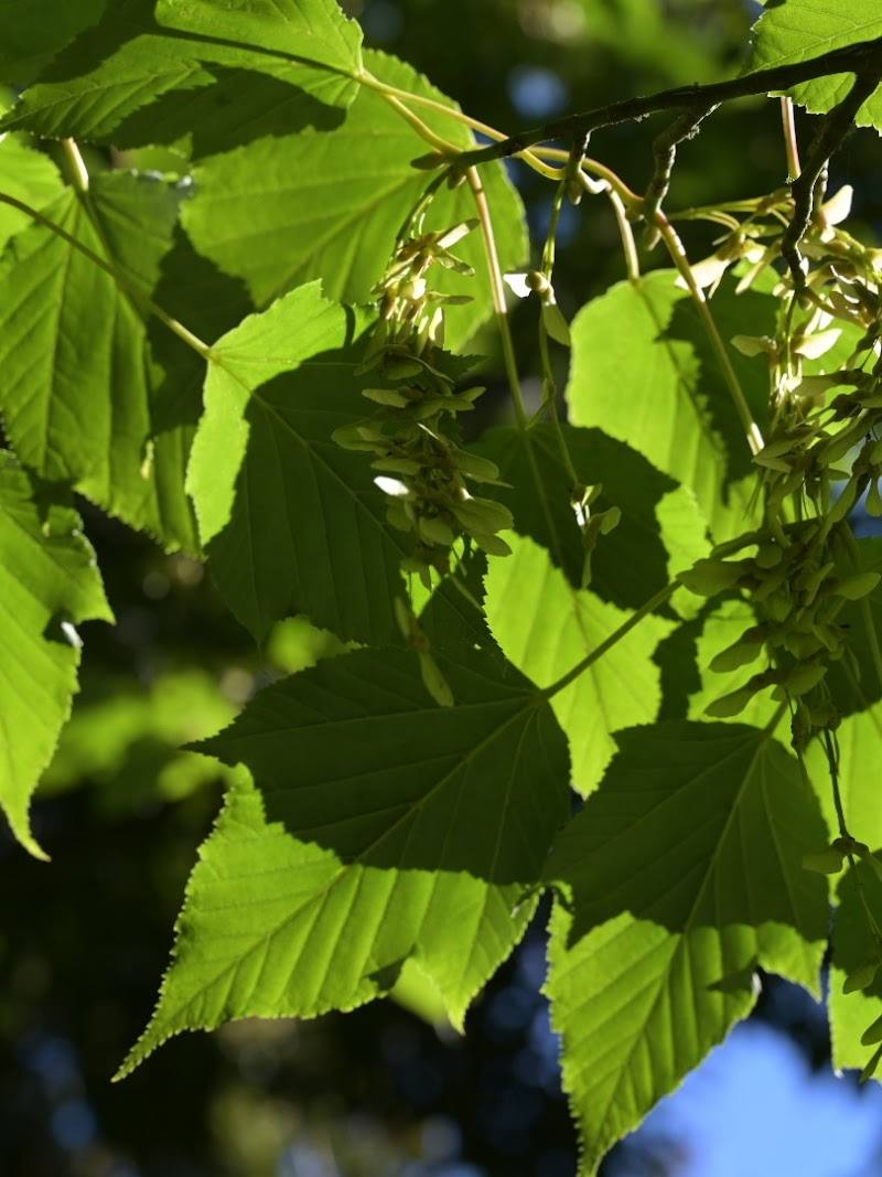
Priestfield Arboretum
Little Kingshill, near Great Missenden, Buckinghamshire
4.4 km away
 Source image7.2
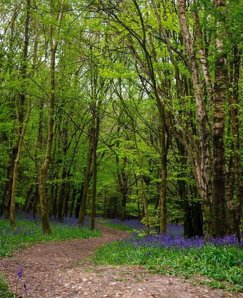
Frogmore Meadows Nature Reserve
Frogmore Meadows, near Chenies, Hertfordshire
7.9 km away
 Source image4.8
Sarratt Bottom nature reserve
Sarratt, Rickmansworth, Hertfordshire WD3 6DA
8.9 km away