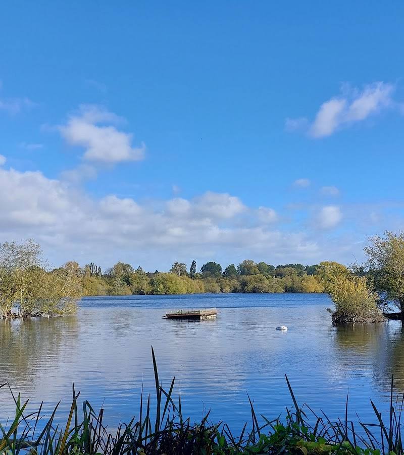
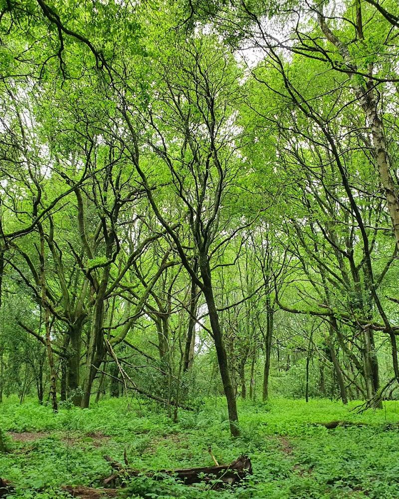
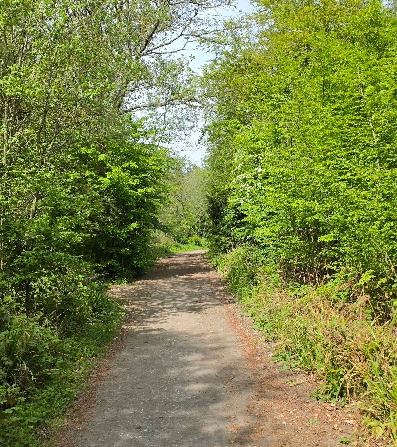
Old Amersham, Buckinghamshire
River Misbourne Restoration Project
River
Place photograph
5.1
Wildland
1–2 hours
Time
Check
Cost
Peaceful
Feel
Why it's Wildland
5.1The Misbourne was once straightened and altered to serve mills. Restoration has brought bends and varied gravel features back to parts of the stream, with wetland habitat created alongside it. In Old Amersham, information panels explain the river’s ecology and its long relationship with the town.
This is a modest riverside experience with a meaningful story beneath the surface: a rare chalk stream reshaped for industry, then worked back towards a more natural course. The restoration features and local interpretation make the river itself the reason to pause.
Peaceful
Find your way
Open mapOld Amersham, Buckinghamshire
Opening map…
Know this place a little better?
The experience
Explore a restored section of the Misbourne and the riverside interpretation in Amersham. The appeal is the contrast between a rare chalk-stream habitat and the evidence of how people reshaped the river for mills and settlement.
Things to do
Follow the Amersham Riverside Walk
Explore the documented riverside walk and use the local information panels to learn about the Misbourne’s chalk-stream ecology and history.
Compare the restored river features
At Barn Meadow and Pondwicks Meadow, look for the small bends, gravel riffles and other changes made to improve flow and habitat.
Read the Church Mead interpretation
The information panel describes the chalk stream, historic river use and flooding around Church Mead.
Look for evidence of flooding at St Mary’s Church
The Amersham Society describes two low, blocked doorways and a raised floor associated with repeated flooding. Church access is not guaranteed; check before visiting.
Make a day of it
Quick escape · Check locally; no verified duration is available.
A short riverside restoration walk
- 01
Follow the documented riverside walk in Amersham.
- 02
Look for the restored bends and gravel features described at Barn Meadow and Pondwicks Meadow.
- 03
Read the riverside information panels to understand the stream’s ecology and restoration.
Verified history
The Misbourne was gradually straightened and widened to serve mills. In Old Amersham, restoration works at Barn Meadow and Pondwicks Meadow were completed in October 2023; the works included changing the channel’s form and adding gravel features. The Amersham Society records flooding at Church Mead in 2014 and 2024, and says the floor of St Mary’s Church was raised by about 65 cm in the 15th century. It identifies two low blocked doorways as visible evidence. The river’s history also includes a mill race at Church Mead, shown on the 1838 tithe map described by the Society.
Hidden details
The church’s blocked doorways — The Amersham Society says two low doorways inside St Mary’s Church remain visible after the floor was raised in the 15th century in response to flooding. Access to the church is not guaranteed; check before visiting.
A vanished mill landscape in the tithe map — The 1838 tithe map described by the Amersham Society shows Church Mead almost surrounded by water, with channels associated with the former mill race.
When to go
April · May · June · A calm morning is a pleasant time for a riverside walk; no specific wildlife-viewing time is verified.
Spring and early summer suit a walk beside the stream, while the source describes guided walks and restoration interpretation rather than a seasonal spectacle. Paths can be wet and slippery in colder, wetter weather.
Ground may be wet and slippery, particularly in winter or after rain. Wear sturdy footwear and dress for the weather.
The route
- start point
- Amersham Riverside Walk; confirm the exact start point locally.
- parking start
- The source row mentions a small car park but does not establish its location or availability. Check before visiting.
- Restored sections of the River Misbourne at Barn Meadow and Pondwicks Meadow
- Riverside information panels about chalk-stream ecology and local history
- Church Mead’s documented links to historic flooding and mill use
Worth pairing with
St Mary’s Church, Old Amersham
The Amersham Society describes flood-related features inside the church, including blocked doorways. Confirm access before planning a visit.
What to look for
Notice how the restored sections introduce bends and gravel features to a channel that had been straightened and widened. At the Church Mead information panel, look for the account of the low blocked doorways at St Mary’s Church, evidence of repeated flooding and a raised church floor.
The story
Industry, Archaeology
Best time to go
Spring to early summer for greener banks and a pleasant riverside stroll; paths may be wet or slippery in winter or after rain.
Spring or early summer is a good choice for a riverside walk. After wet weather, expect the ground to be damp or slippery and wear suitable footwear.
How long to spend
1–2 hours
Perfect for
Walkers · Wildlife lovers · History lovers · Photographers
Practical information
Opening & access
A riverside walk along the Misbourne in Amersham is documented, and public rights of way were maintained through the restoration works. Check local access and path conditions before visiting.
Check before visiting
Parking
The source row mentions a small car park, but its location and availability are not independently confirmed. Check before visiting.
Check before visiting
Toilets
The source row mentions basic toilet facilities; location and opening arrangements are unconfirmed. Check before visiting.
Check before visiting
Food & drink
No food or drink services are reported on site in the source row. Check nearby options before visiting.
Check before visiting
Dogs
Check before visiting; dog access rules are not confirmed.
Check before visiting
Accessibility
A riverside walk is documented, but no verified information is available about step-free access, path surfaces or wheelchair suitability. Check conditions before visiting.
Check before visiting
Cost
Check before visiting
Check before visiting
Water
River
Gallery
Place photographsKeep exploring
Around River Misbourne Restoration Project
Within 50 km · approximate straight-line distances
 Source image7.2
Frogmore Meadows Nature Reserve
Frogmore Meadows, near Chenies, Hertfordshire
5.4 km away
 Place photograph5.8
Priestfield Arboretum
Little Kingshill, near Great Missenden, Buckinghamshire
7.7 km away