Westonzoyland, near Bridgwater, Somerset, TA7 0EU
Sedgemoor Battlefield
Battle & memorial
Place photograph
5.3
Wildland
Half day
Time
Check
Cost
Atmospheric
Feel
Why it's Wildland
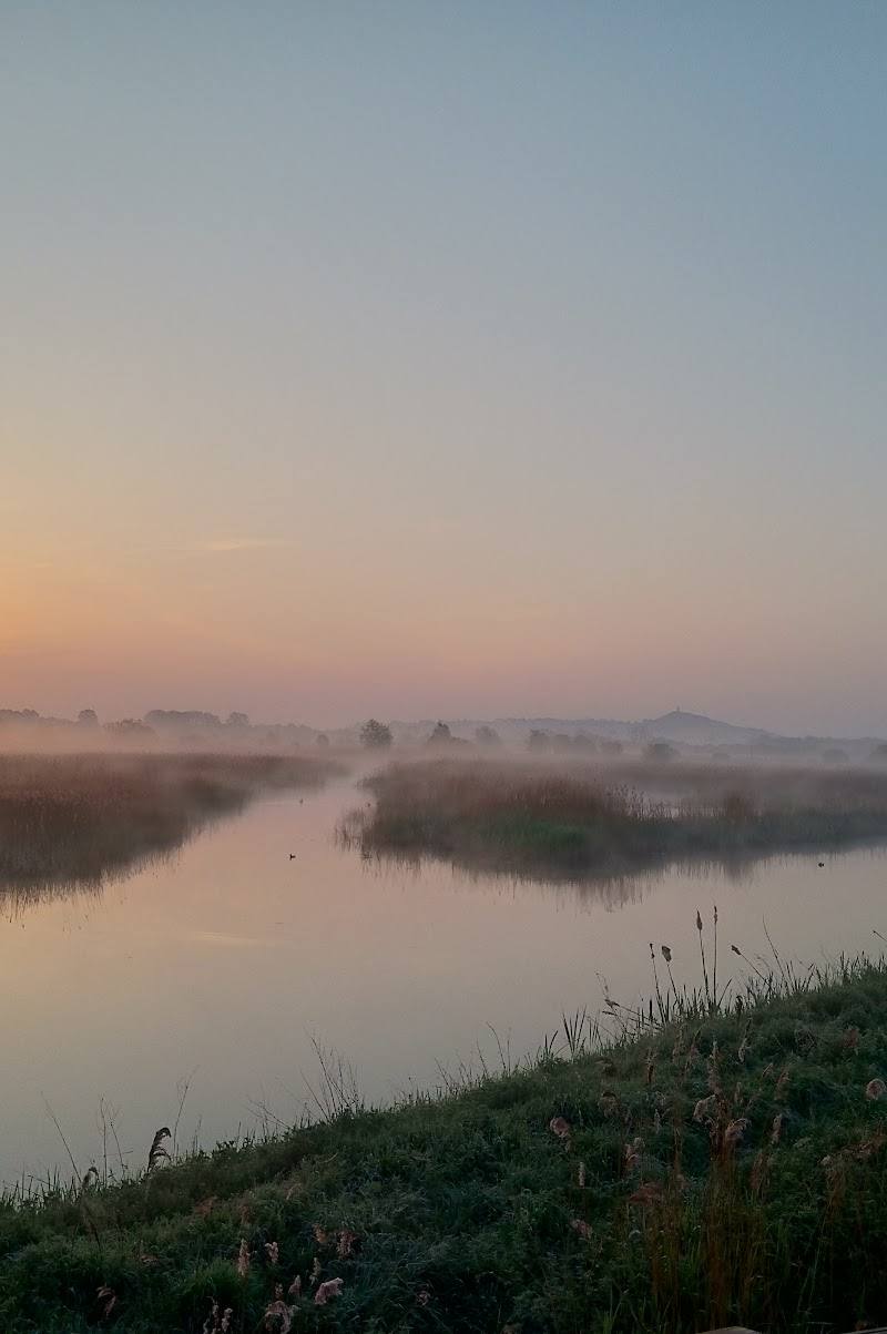
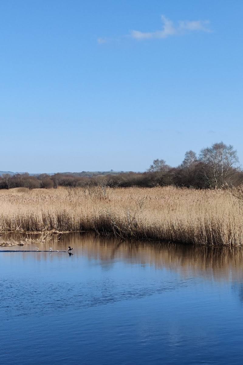
5.3On the Somerset Levels, a quiet landscape of droves, ditches and pasture became the setting for the 1685 Battle of Sedgemoor. The Battlefield Trust’s walk helps visitors read the ground and trace the route from Westonzoyland church towards the battlefield.
Sedgemoor’s appeal is in learning to read a landscape that does not announce its history at first glance. A documented walk leads from Westonzoyland church towards the battlefield, where lanes, droves and drainage channels help explain the terrain of 1685.
Atmospheric · Peaceful
Find your way
Open mapWestonzoyland, near Bridgwater, Somerset, TA7 0EU
Opening map…
Know this place a little better?
The experience
Explore the battlefield’s historic landscape on a walk from Westonzoyland church. The church houses an information hub about the battle, and the Battlefield Trust describes a 2.5-mile route towards the battlefield interpretation panel and monument. Field access beyond the public route may require permission.
Things to do
Walk from Westonzoyland church to the battlefield
Follow the Battlefield Trust’s 2.5-mile walk over level ground, mainly on metalled paths and lanes. The route can be wet and muddy. The Trust describes it as a walk to use with its Battlefield Explorer map.
2.5 miles; walking time not specified
Explore the battle information hub in Westonzoyland church
The Battlefield Trust describes an information hub in the church’s south aisle, with films, replica exhibits and pamphlets. Check current arrangements before visiting.
Pause at the battlefield interpretation panel
The Battlefield Trust places an interpretation panel at the junction of a lane and droves near Bussex Farm. Use it as a point to consider how the landscape shaped the battle.
Make a day of it
Quick escape · 2.5-mile walk; allow time to explore. Exact duration not verified.
Quick Escape: follow the battlefield walk
- 01
Start at Westonzoyland church, the starting point specified by the Battlefield Trust.
- 02
Follow the described lanes and droves towards the battlefield interpretation panel near Bussex Farm.
- 03
Read the landscape from the public route; ask permission before entering private fields.
Half day · Half day; exact duration depends on time spent at the church and along the walk.
Make a half day of it: church, battlefield and village
- 01
Begin at Westonzoyland church and explore its battle information hub, where the Battlefield Trust reports films, replica exhibits and pamphlets.
- 02
Walk the Battlefield Trust’s 2.5-mile route towards the battlefield interpretation panel.
- 03
Allow time to understand the lanes, droves and watercourses that shaped the historic terrain.
- 04
Check current access, facilities and any permission requirements before setting out.
Verified history
The Battle of Sedgemoor took place in July 1685, when the forces of James II defeated the rebels of the Duke of Monmouth near Bridgwater. The Cultural Experience describes it as the last pitched battle fought in England. After the battle, surviving rebels were held in Westonzoyland church before trials and reprisals. The Battlefield Trust describes how the landscape’s droves, ditches and waterways help explain the opposing armies’ positions and movements.
Hidden details
The Bussex Rhyne earthwork — The Battlefield Trust reports a surviving earthwork of the Bussex Rhyne in a field near the battlefield. The Trust’s account says visitors must obtain the farmer’s permission to cross the field; do not treat the earthwork as publicly accessible.
The battlefield’s drainage landscape — The Battlefield Trust explains how droves, ditches and the Bussex Rhyne shaped movement across the ground. The historic landscape is easier to understand by following the described route and looking carefully at the terrain.
When to go
· No particular time of day is verified as best. Check the forecast and ground conditions before visiting.
No season-specific advantage is established by the supplied sources. The Battlefield Trust warns that parts of the walk can be wet and muddy.
The walk can be wet and muddy, despite its level terrain. Check conditions before setting out.
The route
- surface
- Mainly metalled paths and lanes; can be wet and muddy
- distance
- 2.5 miles
- difficulty
- Level terrain; parts can be wet and muddy
- start point
- Westonzoyland church
- parking start
- Check before visiting; parking information is not verified.
- Westonzoyland church and its battle information hub
- Battlefield interpretation panel near Bussex Farm
- Historic droves and drainage landscape
- Bussex Rhyne earthwork, accessible only with landowner permission
Worth pairing with
Westonzoyland church
The Battlefield Trust’s walk starts at the church, which also houses the battle information hub described by the Trust.
What to look for
Look for the battlefield interpretation panel near Bussex Farm, the droves that cross the landscape and the surviving earthwork of the Bussex Rhyne. The Battlefield Trust notes that access to the field containing the earthwork requires the farmer’s permission.
The story
War & battle, Royalty
Best time to go
Check conditions before setting out; the walk can be wet and muddy.
No particular season or time of day is verified as best. Check the weather and ground conditions before setting out, as the route can be wet and muddy.
How long to spend
Half day
Perfect for
History lovers · Walkers
Before you go
Address
Listed hours
- Monday: Open 24 hours
- Tuesday: Open 24 hours
- Wednesday: Open 24 hours
- Thursday: Open 24 hours
- Friday: Open 24 hours
- Saturday: Open 24 hours
- Sunday: Open 24 hours
Check before visiting.
Google rating
Practical information
Opening & access
The Battlefield Trust describes a 2.5-mile walk starting at Westonzoyland church, along lanes and metalled paths. Parts can be wet and muddy. Access across the field at Bussex Farm requires the landowner’s permission; do not enter private land without it. Check current access and visitor-centre arrangements before travelling. Access arrangements are unconfirmed. Check before visiting; do not enter private land or restricted structures.
Check before visiting
Parking
Check before visiting; no verified parking information is available.
Check before visiting
Toilets
Check before visiting. The Battlefield Trust walk information says there are no public toilets on the described route.
Check before visiting
Food & drink
The Battlefield Trust mentions a pub and shop in Westonzoyland. Check current availability and opening before visiting.
Check before visiting
Dogs
Check before visiting; no verified dog policy is available.
Check before visiting
Accessibility
The described walk is level and mainly follows metalled paths and lanes, but can be wet and muddy. No verified wheelchair or pushchair access information is available; check before visiting.
Check before visiting
Cost
Check before visiting
Check before visiting
Gallery
Place photographsKeep exploring
Around Sedgemoor Battlefield
Within 50 km · approximate straight-line distances