5.5
Wildland
1–2 hours
Time
Check
Cost
Atmospheric
Feel
Why it's Wildland
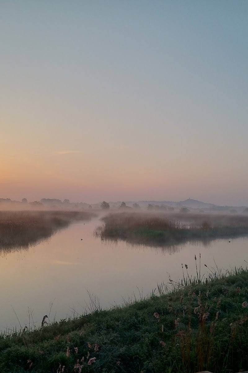
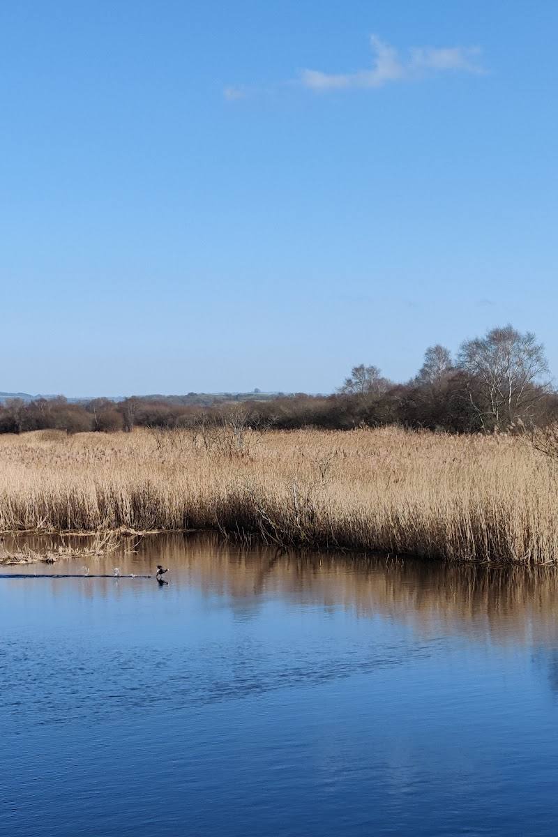
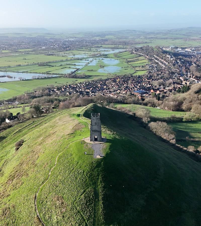
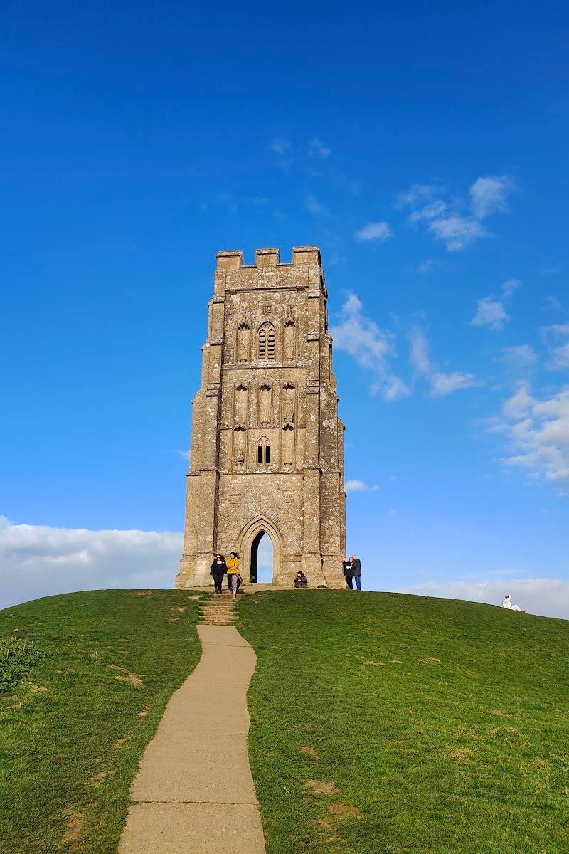
5.5A small hill rises unexpectedly above the flat Somerset Levels. At its summit, the roofless remains of St Michael’s Church stand among earthworks, with wide views across the surrounding fields and waterways.
Burrow Mump earns its place for the contrast between a solitary hill and the immense flatness of the Levels: a short, steep climb leads to church ruins, historic earthworks and far-reaching views. It is a compact stop with a distinctive landscape setting, rather than a full day out on its own.
Atmospheric · Historic
Find your way
Open mapBurrowbridge, Somerset, TA7 0RB
Opening map…
Know this place a little better?
The experience
Climb the hill for the church ruins and panoramic views, or use Burrow Mump as the landmark stop on a longer walk through the Levels and along the River Parrett.
Things to do
Climb to the summit
Take the short but steep ascent to the top of the Mump. Ground may be muddy or slippery after rain; check conditions and choose footwear accordingly.
About 30–60 minutes return; estimate.
See the summit church ruins
Look around the exterior remains of St Michael’s Church. Do not cross barriers or enter restricted areas.
Take in the Somerset Levels panorama
From the summit, look across the surrounding flat landscape; supplied visitor accounts report distant views on clear days.
Walk the Burrow Mump–King Alfred’s Monument loop
A supplied route description gives a 3.3-mile loop via the River Tone and Athelney, returning along the other side of the water. Check the current route and conditions before relying on it.
1–1.5 hours listed
Make a day of it
Quick escape · About 30–60 minutes; estimate based on the reported short climb and return.
The summit and the ruins
- 01
Use the reported car park at the foot of the hill only after checking current arrangements.
- 02
Climb the steep path to the summit at a pace that suits the ground conditions.
- 03
View the church ruins and take in the surrounding Levels, then return by the same approach.
Half day · About 1–1.5 hours for the AllTrails loop; allow longer if stopping. A separate supplied family walk describes a roughly two-hour outing.
A Levels walk with a summit finish
- 01
Follow the Burrow Mump to King Alfred’s Monument loop from Burrowbridge, using a current route map.
- 02
Walk along the River Tone and through the Levels towards Athelney, noting the historic points described along the route.
- 03
Return towards Burrowbridge and finish with the climb to Burrow Mump for views across the Levels.
- 04
Check route conditions, livestock diversions and pub opening before setting out.
Verified history
The summit is associated with the remains of St Michael’s Church. One supplied walk account describes a chapel built by monks of Athelney Abbey and says the church was held by Royalists in 1645 after the Battle of Langport, then partly destroyed and restored in the eighteenth century. Another account describes the surviving church ruins as an eighteenth-century rebuilding. The sources differ on the building chronology, so the precise sequence should be checked against a specialist heritage record before publication as definitive. The hill is also described in a supplied account as having earlier strategic use, including a Norman castle; the details are not independently established by the available material.
Hidden details
Read the land around the hill — From the summit, look for the pattern of tracks, fields and river barriers across the surrounding Levels. A supplied walk account describes the landscape as shaped by drainage and flood management.
When to go
April · May · June · July · August · September · A clear, dry period; no specific time of day is established by the supplied sources.
A supplied visitor account recommends dry conditions for more comfortable walking, while another notes that the ground can become muddy after rain. Clear weather improves the prospect of distant views.
The climb is exposed and the approach can be muddy or slippery after rain. Take care on the steep descent and check conditions before visiting.
Worth pairing with
Burrowbridge and the River Parrett
The supplied AllTrails route and walking accounts describe routes from Burrowbridge alongside local rivers and through the surrounding Levels. Check route details before setting out.
King Alfred’s Monument and Athelney direction
The supplied AllTrails listing describes a loop from Burrow Mump towards King Alfred’s Monument and Athelney. Use a current map and verify conditions before following the route.
What to look for
Notice the church ruins on the summit and the contrast between the raised hill and the flat fields, ditches and river landscape around it. The supplied walk descriptions also identify historic earthworks and the surrounding network of tracks and river barriers.
The story
Archaeology, War & battle
Best time to go
A dry spell in spring or summer can make the climb and surrounding paths more comfortable; choose a clear day for the best chance of far-reaching views.
Choose a clear, dry day. The summit is exposed, and paths may be muddy or slippery after rain; views are more rewarding when the landscape is visible.
How long to spend
1–2 hours
Perfect for
Walkers · Photographers · History lovers
Before you go
Address
Listed hours
- Monday: Open 24 hours
- Tuesday: Open 24 hours
- Wednesday: Open 24 hours
- Thursday: Open 24 hours
- Friday: Open 24 hours
- Saturday: Open 24 hours
- Sunday: Open 24 hours
Check before visiting.
Google rating
Practical information
Opening & access
A steep, potentially muddy or slippery path climbs to the summit and the ruined church. A visitor account reports a National Trust car park at the foot of the hill; check current access and parking arrangements before travelling. Do not enter the ruin where access is barred.
Check before visiting
Parking
A small National Trust car park is reported at the foot of the hill. Current availability, charges and arrangements are not confirmed; check before visiting.
Check before visiting
Toilets
Check before visiting; a supplied walk listing reports no toilets on its route.
Check before visiting
Food & drink
A pub in Burrowbridge is mentioned by supplied sources; check its current opening and food service before setting out.
Check before visiting
Dogs
Dog access and current restrictions are not confirmed. A supplied walk account advises keeping dogs on leads around livestock; check local signs and guidance.
Check before visiting
Accessibility
The summit approach is described as short but steep, with muddy or slippery ground possible after rain. A supplied source says the climb is not suitable for wheelchairs or pushchairs. Check conditions and access before visiting.
Check before visiting
Cost
Check before visiting
Check before visiting
Water
River Parrett nearby; water access and activities are not established.
Gallery
Place photographsKeep exploring
Around Burrow Mump
Within 50 km · approximate straight-line distances