Scolpaig, west coast of North Uist, Outer Hebrides, Scotland
Scolpaig Bay & Beinn Scolpaig
Beach
Place photograph
6.4
Wildland
1–2 hours, Half day
Time
Check
Cost
Peaceful
Feel
Why it's Wildland
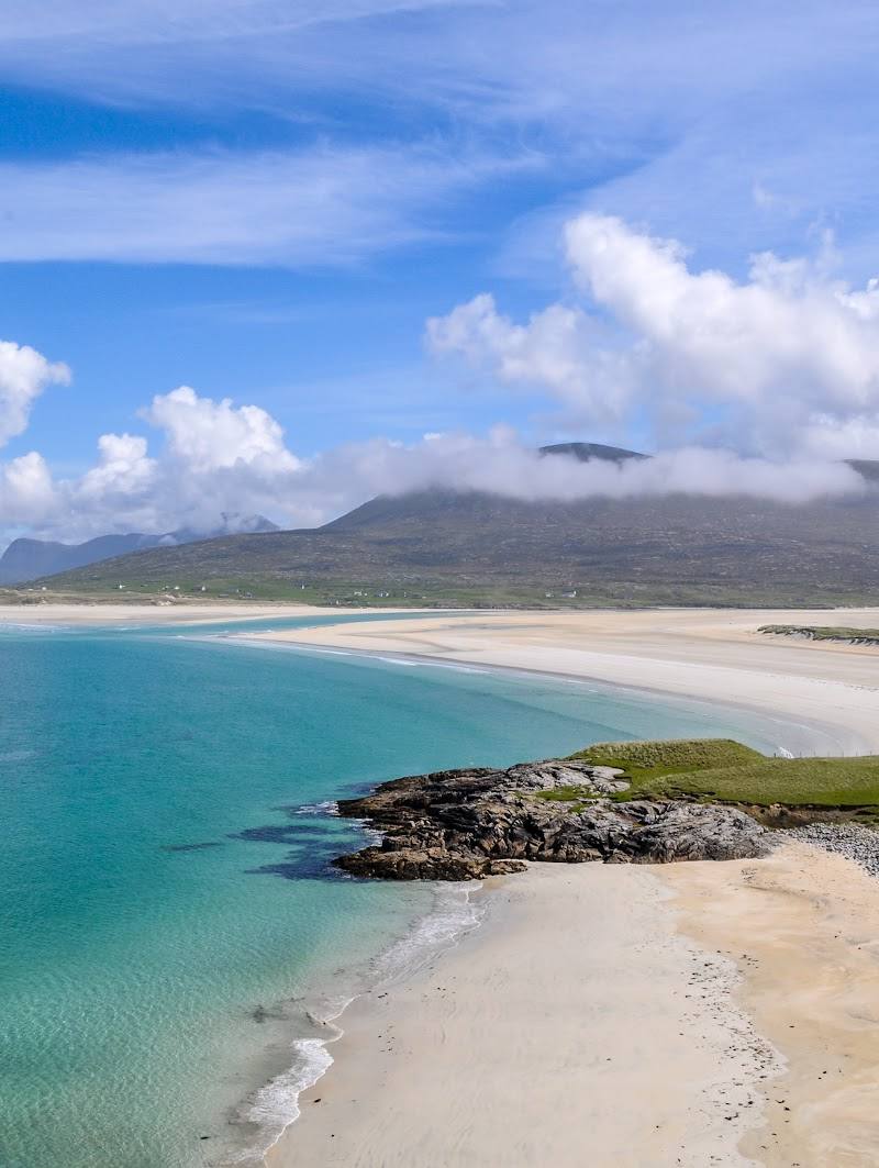
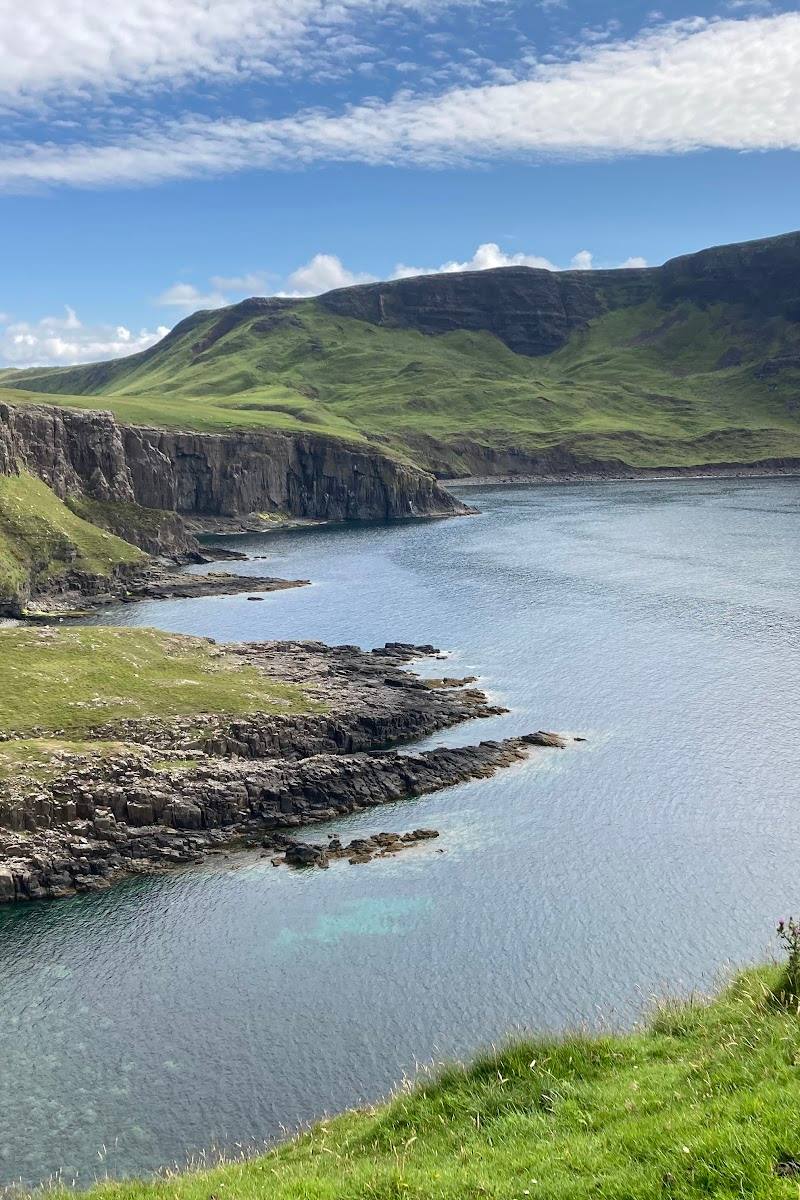
6.4A sheltered crescent of sand, a small loch with a Victorian folly on an island, and a gentle hill walk with far-reaching island views make Scolpaig a rewarding stop on North Uist’s Atlantic-facing coast.
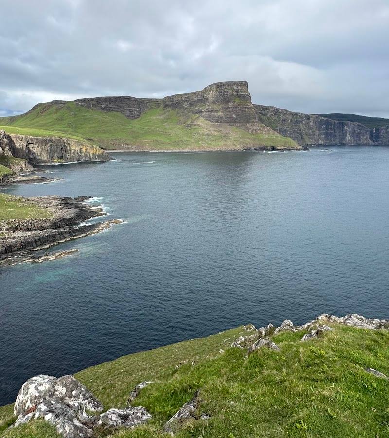
Scolpaig brings together a quiet bay, machair and moorland, a curious island tower and an open hill route. It feels like more than a beach stop: the landscape keeps unfolding from loch shore to summit and rocky coast.
Peaceful · Big-sky · Wild
Find your way
Open mapScolpaig, west coast of North Uist, Outer Hebrides, Scotland
Opening map…
Know this place a little better?
The experience
Visit the sheltered bay and loch, take in the tower from the shore, or continue on a reported circular walk over Beinn Scolpaig to a pebble beach and coastal viewpoints. The longer route is rough and conditions-dependent.
Things to do
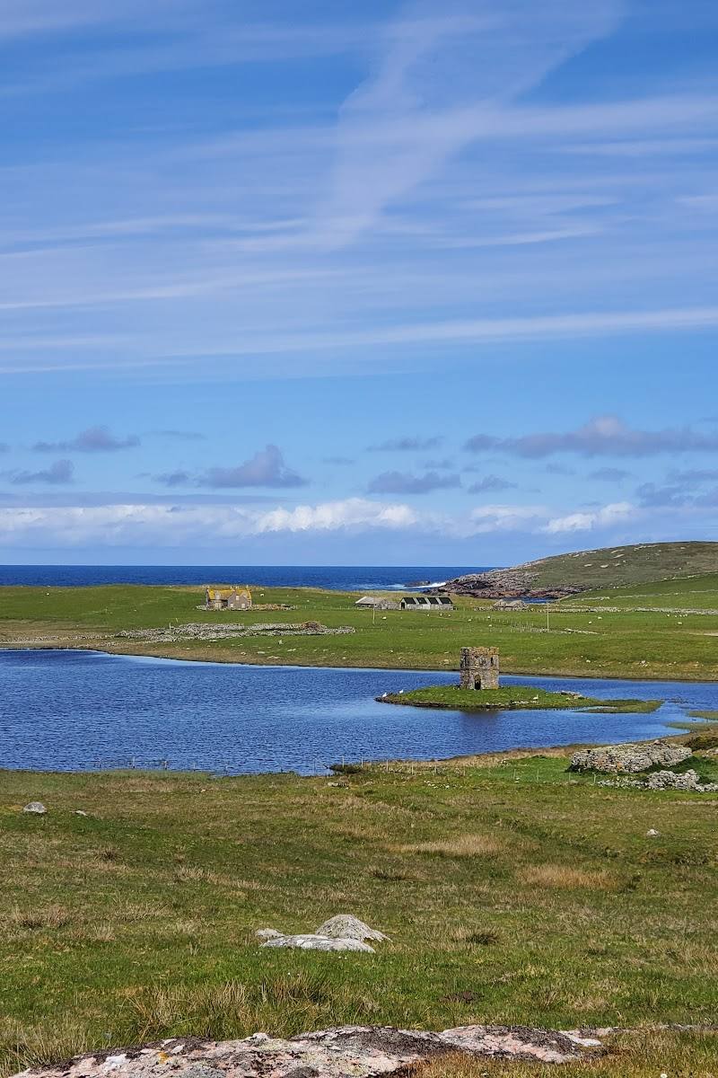
See Scolpaig Tower from the loch shore
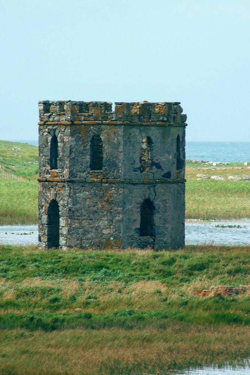
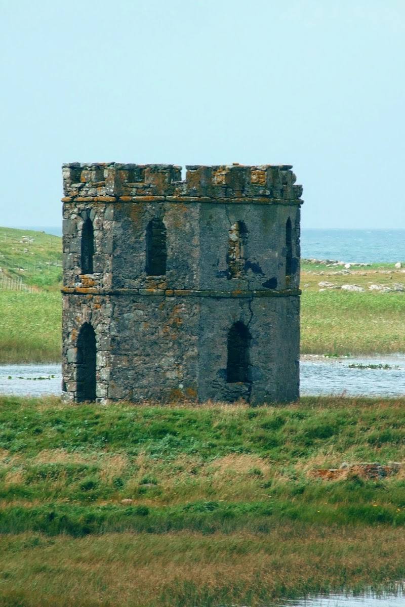
Look across the small loch to the castellated 19th-century folly. Access to the island depends on water level and suitable conditions; the source advises viewing from the road if not crossing.
Check before visiting
Walk to Scolpaig Bay
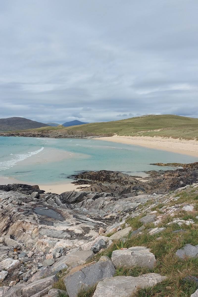
Visit the sheltered crescent of sand and rocky coastline described in a North Uist walk account. Confirm access and parking locally.
Check before visiting
Walk the Beinn Scolpaig circuit
A reported 3.9-mile loop crosses farm track and open ground to the hill, then heads towards the coast, a pebble beach and a sea arch. The route includes boggy, pathless sections; take care around livestock and cliff edges.
Allow around 3–4 hours; check conditions before setting out.
Look for machair flowers and coastal birds
A summer account records marsh orchids, harebells and other flowers near the loch and machair, as well as curlew and oystercatchers. Wildlife sightings are not guaranteed.
Make a day of it
Quick escape · Allow around 1–2 hours; confirm local access and conditions.
Quick Escape: Bay and tower views
- 01
Reach the Scolpaig area from the A865 and check where you can leave a vehicle without obstructing access.
- 02
Walk to the sheltered bay and enjoy the crescent of sand and rocky coast.
- 03
View Scolpaig Tower from the loch shore; do not assume the island or tower interior is accessible.
Half day · Around 3–4 hours; route account describes a 3.9-mile circular walk.
Make a Half Day of It: Beinn Scolpaig circuit
- 01
Start from the reported roadside parking area only if there is safe space and no gate or access is obstructed.
- 02
Follow the farm track towards the abandoned farmhouse, then continue over open, pathless and potentially boggy ground towards the hill’s trig point.
- 03
Descend towards the coast and pebble beach, then take in the headland and reported sea arch before returning.
- 04
Treat the route as conditions-dependent: livestock, boggy ground and exposed cliff tops are noted.
Verified history
Scolpaig Tower is a 19th-century castellated folly, built around 1820 by Dr Alexander MacLeod of Balelone. Britain Express reports that stone from an earlier Iron Age dun was reused in its construction. A charitable interpretation suggests the project may have provided employment for islanders, but the source presents this as a possibility rather than a proven motive. The tower is a shell, and access to its island can depend on water level and conditions.
Hidden details
A folly built from older stones — The tower’s Victorian appearance disguises a more complicated story: its builder used stone from an earlier Iron Age dun on the site.
The sea arch on the hill circuit — A walking account describes a sea arch reached during the coastal part of the Scolpaig circuit. Treat the route as rough and take particular care near cliffs.
When to go
May · June · July · August · Choose a clear, relatively calm period for the exposed hill and coast; check the forecast before setting out.
A summer walk account describes machair flowers, orchids and water lilies, while longer daylight is useful for the rough hill circuit. These are seasonal observations, not guarantees.
This is an exposed coastal and hill landscape. Wind, rain and boggy ground can make the open route harder; avoid exposed cliff tops in strong winds and check current conditions.
The route
- surface
- Farm track followed by open, uneven and potentially boggy ground; no path for part of the hill route.
- distance
- 3.9 miles (reported circular walk)
- duration
- Check before visiting; allow around 3–4 hours as a planning estimate.
- difficulty
- Rough, exposed walk over boggy and pathless ground; suitable only for those prepared for changeable conditions.
- waymarking
- Check before visiting
- route shape
- Circular
- start point
- Reported roadside parking area near the A865; confirm the location and access locally.
- parking start
- One account reports a small space for one car beside the main road; another reports no official parking. Do not block gates or access.
- shorter alternative
- Visit the bay and view the tower from the loch shore rather than attempting the full hill circuit.
- View of Scolpaig Tower
- Beinn Scolpaig and trig point
- Pebble beach and coastal headland
- Reported sea arch
- Machair and coastal birdlife
Worth pairing with
RSPB Balranald
A North Uist nature reserve listed among nearby points of interest for the wider area. Check current access and visitor information before planning a visit.
Kilphedder Cross
A nearby historic site identified by Britain Express, around half a mile from Scolpaig Tower according to its listing.
What to look for
From the loch shore, look for the castellated tower on its small island. On the hill circuit, watch for machair flowers, bog cotton, coastal birds and the sea arch described on the route account. Do not approach cliff edges in high winds.
The story
Industry, Archaeology
Best time to go
Late spring to summer for machair flowers and longer daylight; conditions vary with the weather.
A clear, calmer day gives the best chance of enjoying the open hill views and coast. Summer brings longer daylight and reported wildflowers; expect exposed, changeable weather.
How long to spend
1–2 hours, Half day
Perfect for
Walkers · Photographers · Wildlife lovers
Before you go
Address
Practical information
Opening & access
The bay and surrounding landscape are reached from the A865 area. A reported circular walk uses farm tracks and open, pathless ground; access and route conditions should be checked before setting out. Keep clear of livestock, gates and cliff edges, especially in strong winds.
Check before visiting
Parking
No official parking was reported by one walk account; another describes a very small space for one car beside the main road. Do not block gates or access. Check locally before visiting.
Check before visiting
Toilets
Check before visiting
Check before visiting
Food & drink
Check before visiting
Check before visiting
Dogs
Check before visiting; livestock are present, and dogs should be kept under close control.
Check before visiting
Accessibility
The reported hill circuit is not an accessible surfaced route: it includes uneven, boggy and pathless ground, and may involve livestock and exposed cliff-top sections. Check conditions and access before attempting it.
Check before visiting
Cost
Check before visiting
Check before visiting
Water
Sea, Loch
Gallery
Place photographs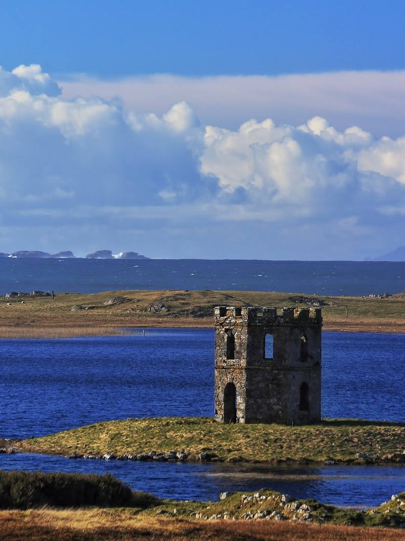
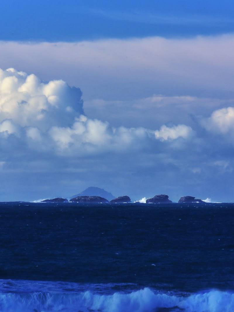
Keep exploring
Around Scolpaig Bay & Beinn Scolpaig
Within 50 km · approximate straight-line distances