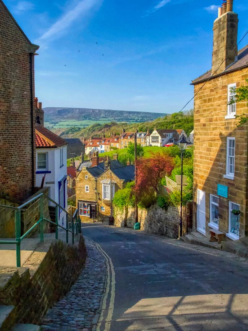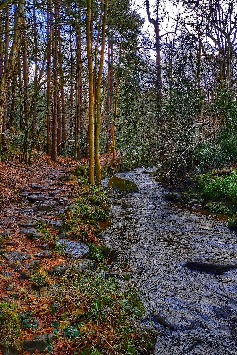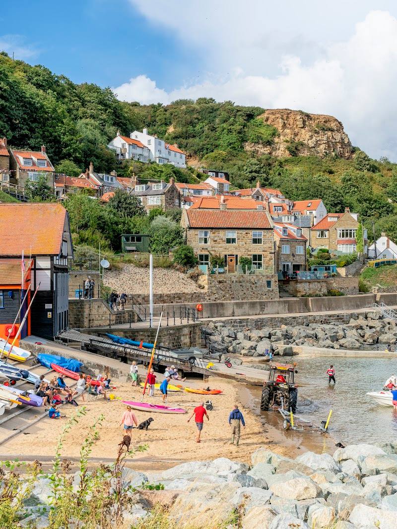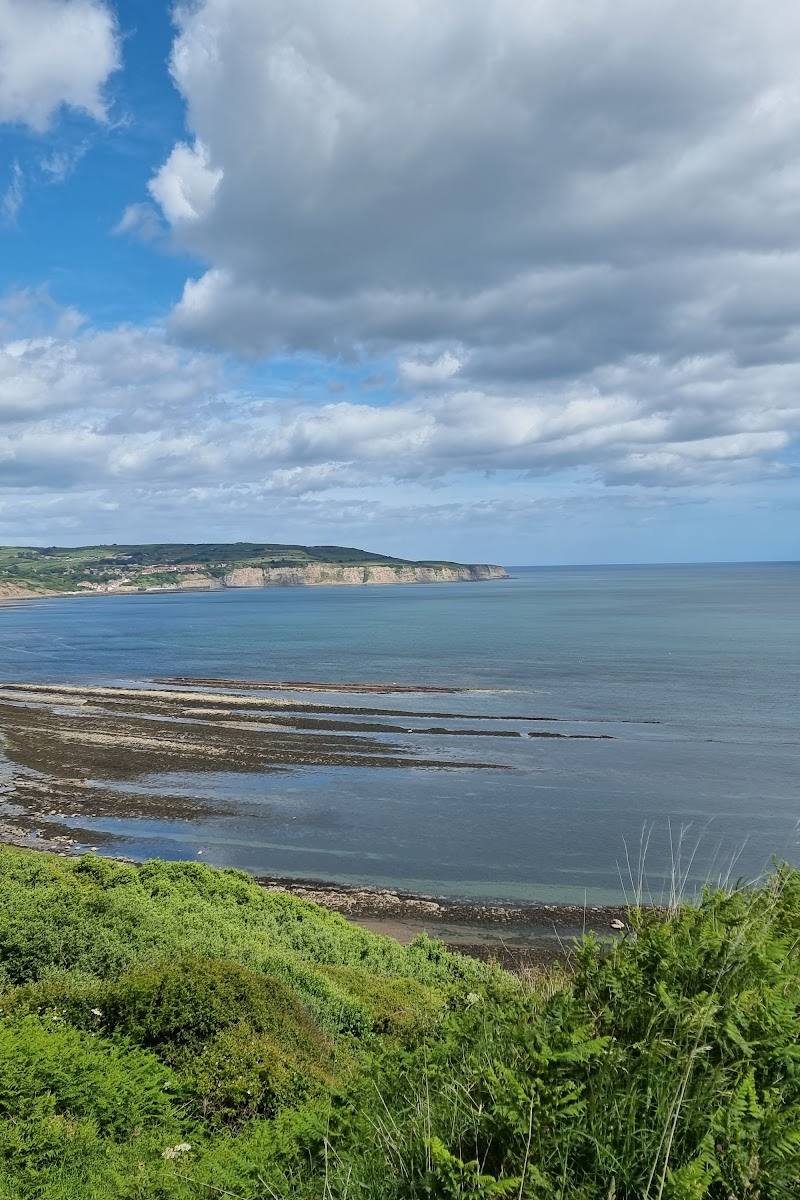
Saltwick Bay, Whitby, North Yorkshire, YO22 4JU
Saltwick Bay
Beach
Place photograph
6.3
Wildland
1–2 hours
Time
Check
Cost
Dramatic
Feel
Why it's Wildland
6.3Fossils, shipwrecks and the remains of alum-working meet on this rugged bay just east of Whitby. At low tide, the shoreline’s rocks and shale offer a glimpse into a Jurassic landscape—and into centuries of coastal industry and maritime danger.
Saltwick Bay earns its place for the way geology and human history are written into the same rugged shoreline. Fossil-rich rocks, traces of alum working and shipwreck stories make this more than a beach stop, while the steep descent helps preserve a sense of separation from nearby Whitby.
Dramatic · Wild · Atmospheric
Find your way
Open mapSaltwick Bay, Whitby, North Yorkshire, YO22 4JU
Opening map…
Know this place a little better?
The experience
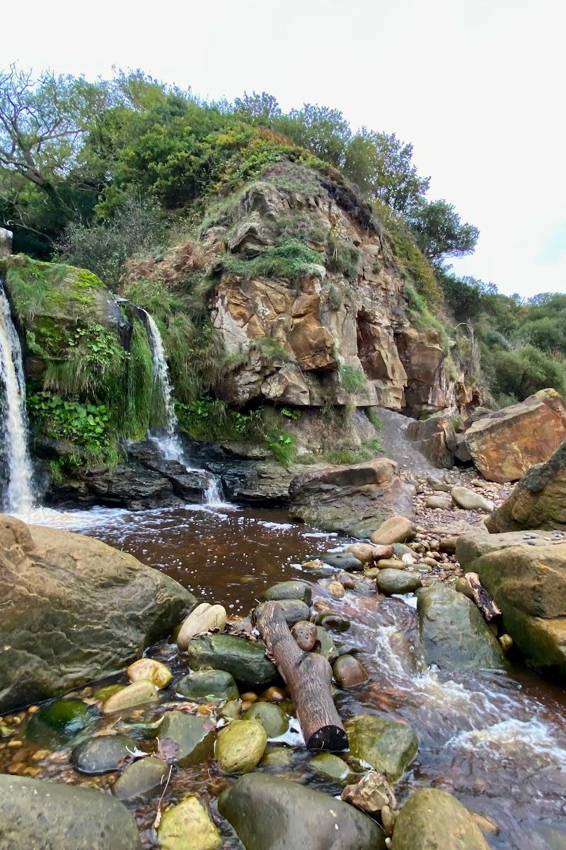
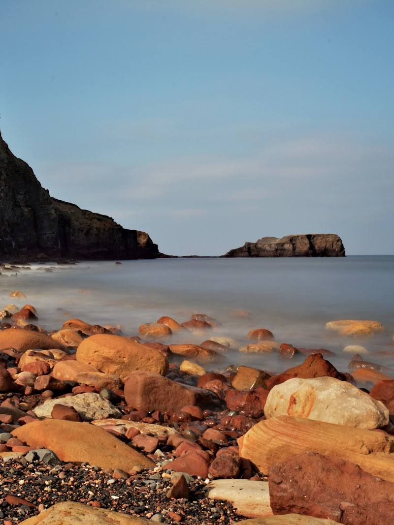
Explore the beach at a suitable tide, scan loose rocks and shale for fossils, look across to Saltwick Nab, and take in the bay’s industrial and shipwreck history. Access involves a steep path, and cliff edges can be unstable.
Things to do
Search the shoreline for fossils
At a suitable tide, scan loose rocks and shale for fossils. Ammonites are among the fossils associated with the bay; take care around cliffs and do not approach unstable faces.
1–2 hours
Explore the beach and rock pools at low tide
A lower tide exposes more of the beach, rock pools and shale. Check tide times in advance and be alert to the incoming sea, which can cut off parts of the bay.
1–2 hours
Look for traces of alum-working history
Notice the red shale and remains associated with the old alum industry around Saltwick Nab, which once served this stretch of coast.
Take in the bay’s shipwreck stories
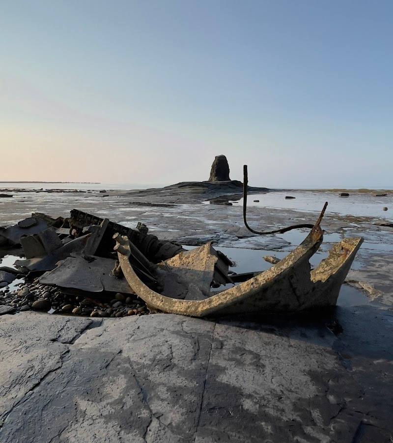
The bay is linked to the 1914 wreck of HMHS Rohilla near Saltwick Nab and the 1976 wreck of the trawler Admiral Von Tromp. The source describes these as part of the area’s maritime history; it does not establish that wreck remains are safely accessible to visitors.
Make a day of it
Quick escape · 1–2 hours
Quick fossil-and-shoreline visit
- 01
Check the tide times and current access conditions before setting out.
- 02
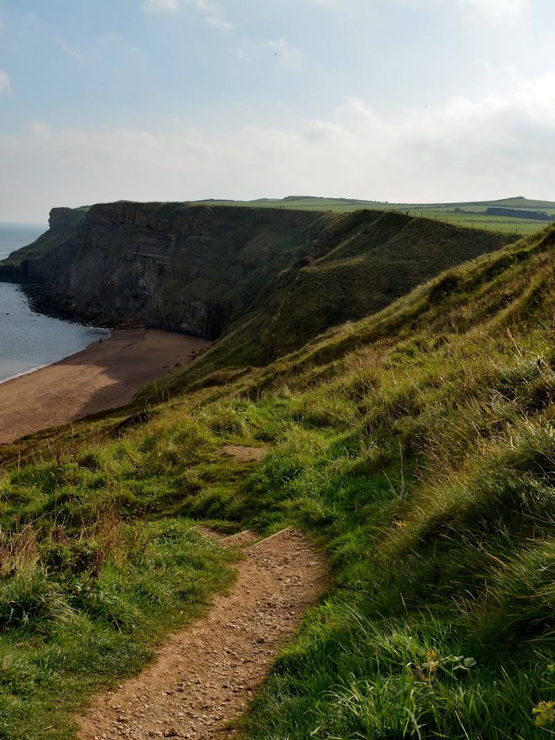
Use the reported steep path and steps to descend to the beach only if the route is suitable for you.
- 03
Explore the exposed shoreline and scan loose rocks and shale for fossils.
- 04
Keep well away from unstable cliff edges, then allow time for the steep return climb.
Half day · Half day
Make a half day of Saltwick Bay
- 01
Plan around low tide, checking tide times and local conditions before travelling.
- 02
Descend to the beach and spend time exploring the exposed rock pools, shale and loose stones.
- 03
Look for fossils and notice the traces of alum-working history around Saltwick Nab.
- 04
If you have a suitable route and enough time, continue along the coastal path towards Whitby Abbey; check path conditions and access before setting out.
Verified history
Alum mining was important along this coast during the 17th and 18th centuries, with works around Saltwick Nab and remains of the industry still described in the landscape. HMHS Rohilla ran aground near Saltwick Nab during severe weather in 1914. The trawler Admiral Von Tromp was wrecked here in 1976. The bay is also associated with a nearly complete Jurassic marine crocodile skeleton found in 1824, now displayed at Whitby Museum, according to the supplied local guide.
Hidden details
A prehistoric find from Saltwick — A local guide reports that an almost complete Jurassic marine crocodile skeleton was found here in 1824 and is now displayed at Whitby Museum. The discovery connects the present shoreline to a much deeper geological past.
Look for the coastline’s industrial traces — Red shale and remains linked to alum working are described around Saltwick Nab, reminders that this rugged beach was also an industrial landscape.
When to go
· Plan around low tide. The supplied guide also notes that sunrise and sunset can bring striking light to the rock formations and tidal pools.
The supplied sources do not establish a best season. Conditions, exposed shoreline and the experience change with the tide and weather.
The cliffs are unstable in places and rockfalls occur, particularly after wet or windy weather. Paths may be muddy; check tide times and local conditions before visiting.
Worth pairing with
Whitby Abbey
The local guide describes coastal paths from Whitby past Whitby Abbey towards Saltwick Bay. Check route conditions, access and the time required before combining them.
Whitby
Saltwick Bay is about a mile east of Whitby according to the supplied attraction description. Whitby is a practical nearby pairing, though specific food, opening times and facilities are not confirmed here.
What to look for
- 01
Look among loose shoreline rocks and shale for fossils such as ammonites
- 02
notice the red shale and remains associated with alum working around Saltwick Nab. The bay is also linked with the 1914 wreck of HMHS Rohilla and the 1976 wreck of the trawler Admiral Von Tromp.
The story
Industry, Maritime, Archaeology
Best time to go
Any season, with the shoreline changing character with the tide and weather.
Low tide exposes more of the beach, rock pools and shale. Check tide times before setting out, and avoid the cliff edge, especially after wet or windy weather.
How long to spend
1–2 hours
Perfect for
Walkers · Photographers · History lovers · Families
Before you go
Address
Practical information
Opening & access
The beach is reached by a steep, uneven path with steps; it may not suit visitors with limited mobility. Check tide times before going, as parts of the bay can be cut off by the incoming tide. Cliffs are unstable in places and rockfalls occur, so keep clear of cliff edges and check local conditions before visiting. Access arrangements are unconfirmed. Check before visiting; do not enter private land or restricted structures.
Check before visiting
Parking
Parking is reported near the approach road, but spaces are limited and availability is not confirmed. Check before visiting.
Check before visiting
Toilets
Check before visiting.
Check before visiting
Food & drink
Check before visiting.
Check before visiting
Dogs
Visitors report bringing dogs, but current rules are not confirmed. Check before visiting.
Check before visiting
Accessibility
The descent is steep and uneven, with steps; the beach is not suitable for everyone with limited mobility. Check current path conditions before visiting.
Check before visiting
Cost
Check before visiting
Check before visiting
Water
Sea
Gallery
Place photographsKeep exploring
Around Saltwick Bay
Within 50 km · approximate straight-line distances