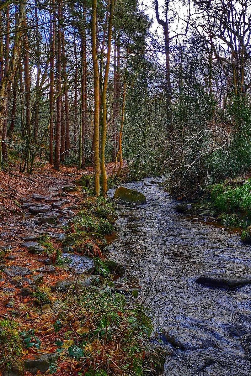
May Beck, near Goathland and Whitby, North Yorkshire
May Beck
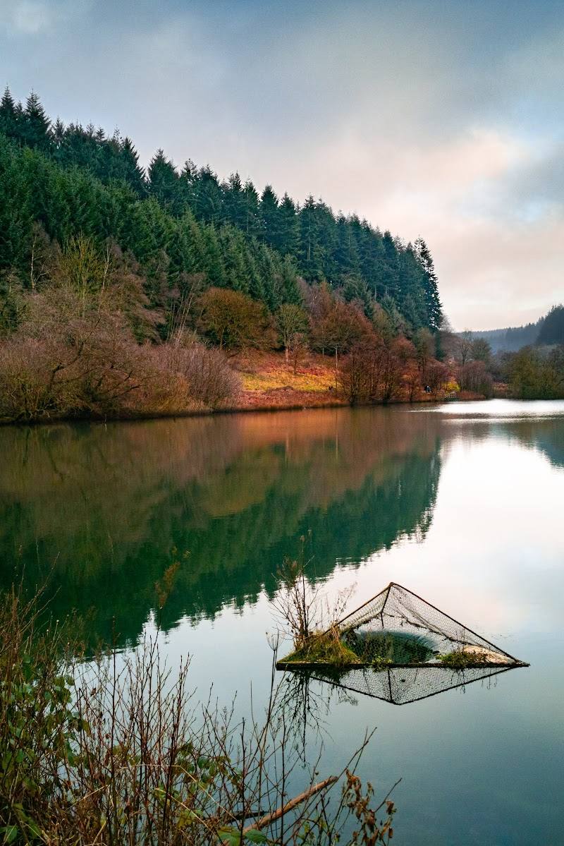
Waterside landscape
Place photograph
6.8
Wildland
1–2 hours
Time
Check
Cost
Peaceful
Feel
Why it's Wildland
6.8May Beck is the woodland starting point for routes to Falling Foss, where the beck’s wooded course leads to a waterfall and a broader circuit through Little Beck Wood and surrounding countryside.
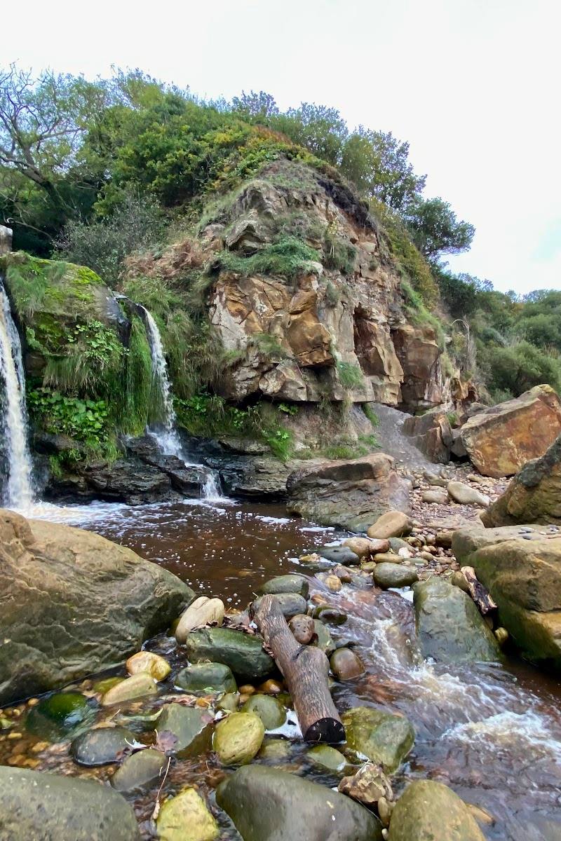
The appeal is the journey as much as the water: a beckside woodland approach opens out into a waterfall, stone bridge and a longer loop through varied North York Moors scenery. There is enough along the way to reward a proper walk, not just a quick stop for a photograph.
Peaceful · Atmospheric · Wild
Find your way
Open mapMay Beck, near Goathland and Whitby, North Yorkshire
Opening map…
Know this place a little better?
The experience
Use May Beck as the starting point for a short woodland-and-waterfall walk or a longer circuit through Little Beck Wood and the surrounding countryside. The longer option is described as around 4½ miles and 2½ hours, with route conditions varying across rocky, rooty and sometimes boggy ground.
Things to do
Follow the beckside woodland path
Walk beside May Beck through woodland towards Falling Foss; the supplied route source describes a maintained initial stretch and moss-covered boulders along the way.
About 0.5–1 hour for the short route
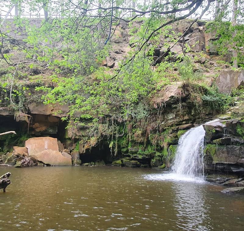
Visit Falling Foss
Follow the woodland route to the waterfall. Take particular care around the edge, where a route source warns of sudden drops.
Look for The Hermitage inscription
On the longer circuit, look for The Hermitage, described by a supplied route source as a late-18th-century stone cave bearing the inscription “GC 1790”.
Take the longer Littlebeck circuit
Continue beyond the waterfall through Little Beck Wood towards Littlebeck, then return across the described field-edge and farm sections.
Around 2½ hours
Make a day of it
Quick escape · 0.5–1 hour
Quick woodland-and-waterfall walk
- 01
Start from May Beck and follow the woodland and riverside path towards Falling Foss.
- 02
Pause at the waterfall, then return by the same route if you are using the short out-and-back option.
Half day · Around 2½ hours
The May Beck and Falling Foss circuit
- 01
Begin at May Beck car park and follow the beck through woodland towards Falling Foss.
- 02
Continue past Midge Hall and The Hermitage, then through Little Beck Wood towards Littlebeck.
- 03
Follow the described field-edge and farm sections back towards May Beck.
Verified history
A supplied route source describes The Hermitage near Falling Foss as a late-18th-century stone cave and reports an inscription reading “GC 1790”. The sources supplied do not establish who made it or what the initials refer to.
Hidden details
The “GC 1790” inscription — Look for the reported inscription at The Hermitage. Its meaning is not established by the supplied sources.
The arched stone bridge — A stone bridge near Midge Hall is highlighted on the longer route; it is a useful detail to watch for among the woodland scenery.
When to go
· No specific time is verified; check weather and path conditions before setting out.
The supplied sources do not establish seasonal highlights or best months.
A route source warns that rough, rocky and rooty sections require care, especially in wetter conditions. Another describes boardwalks over boggy ground on the longer circuit.
The route
- ascent
- Around 264 metres for the longer circuit; AllTrails lists 272 feet for its shorter loop
- surface
- Woodland path; sources mention rocky and rooty sections, boardwalks over boggy ground, fields and lanes
- distance
- 4½ miles for the longer circuit; another source lists a separate 1.9-mile loop
- duration
- Around 2½ hours for the 4½-mile circuit; AllTrails estimates 0.5–1 hour for its 1.9-mile loop
- difficulty
- Easy according to AllTrails; rough, rocky and rooty sections require care
- waymarking
- The longer route source describes following sections of the Coast to Coast Path marked with “AW” and acorn symbols; verify current waymarking
- route shape
- Circular loop
- start point
- May Beck car park, described as signposted from the B1416
- parking start
- A May Beck car park is named as the start; check current availability and charges
- shorter alternative
- The 1.9-mile loop listed by AllTrails is estimated at 0.5–1 hour; confirm the route locally before setting out.
- May Beck woodland and riverside path
- Falling Foss waterfall
- Arched stone bridge near Midge Hall
- The Hermitage and reported “GC 1790” inscription
- Little Beck Wood and Littlebeck on the longer circuit
What to look for
Look for the arched stone bridge near Midge Hall and the inscription described as “GC 1790” at The Hermitage. The longer route also passes moss-covered boulders and small cascades.
The story
The route passes Midge Hall and The Hermitage, described in a supplied source as a late-18th-century stone cave.
Best time to go
No specific best season is verified. Check path conditions before visiting, particularly after wet weather.
No particular time of day is verified. Check the forecast and path conditions, especially after rain.
How long to spend
1–2 hours
Perfect for
Walkers · Photographers · Families
Before you go
Address
Google rating
Practical information
Opening & access
Sources describe walking routes beginning at May Beck and following woodland paths beside the beck towards Falling Foss. Check current access and conditions before setting out.
Check before visiting
Parking
A May Beck car park is described as the route starting point in a supplied source; check current availability and charges before visiting.
Check before visiting
Toilets
Check before visiting
Check before visiting
Food & drink
A café near Falling Foss is mentioned by a route source; check whether it is open before visiting.
Check before visiting
Dogs
A supplied route source advises keeping dogs on leads around livestock and wildlife, and exercising care near waterfall edges.
Accessibility
Route sources describe woodland paths, with rough, rocky and rooty sections and boardwalks over boggy ground on the longer circuit. Suitability depends on conditions; check before visiting.
Check before visiting
Cost
Check before visiting
Check before visiting
Water
Beck and waterfall; swimming or paddling permission is not established.
Gallery
Place photographs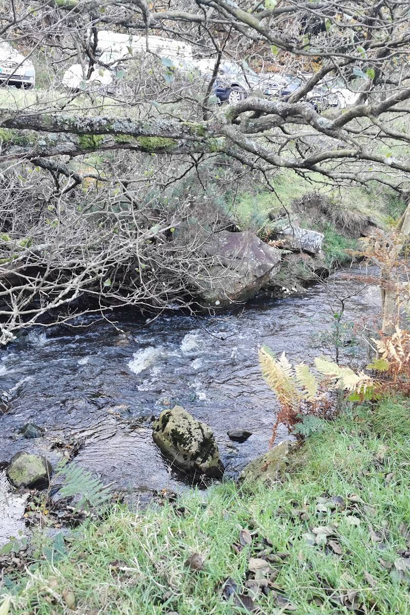
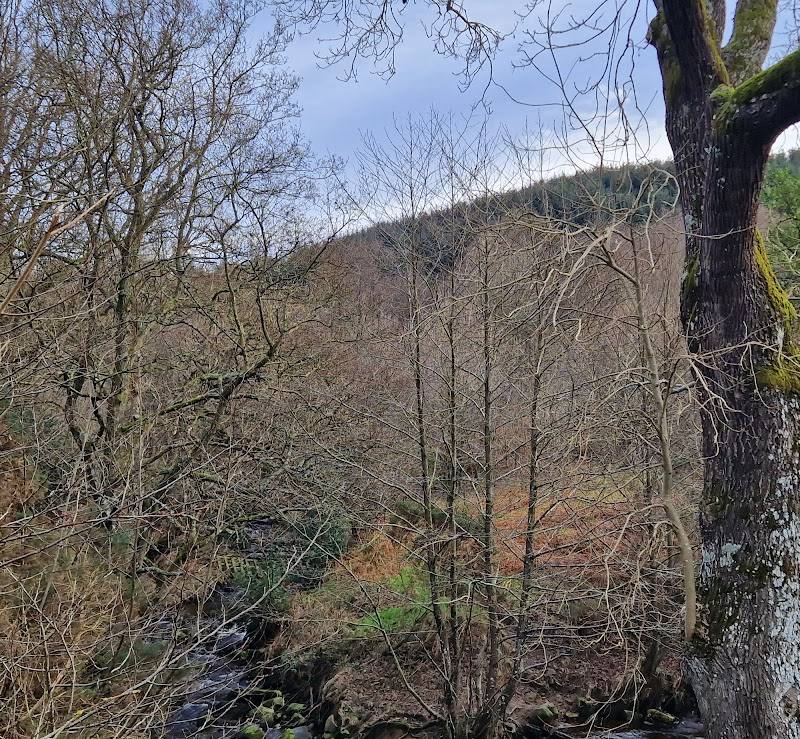
Keep exploring
Around May Beck
Within 50 km · approximate straight-line distances