Runswick Bay, North Yorkshire coast, within the North York Moors National Park
Runswick Bay
Beach
Place photograph
6.5
Wildland
1–2 hours
Time
Check
Cost
Dramatic
Feel
Why it's Wildland
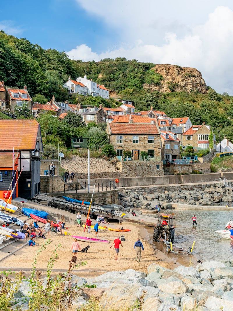
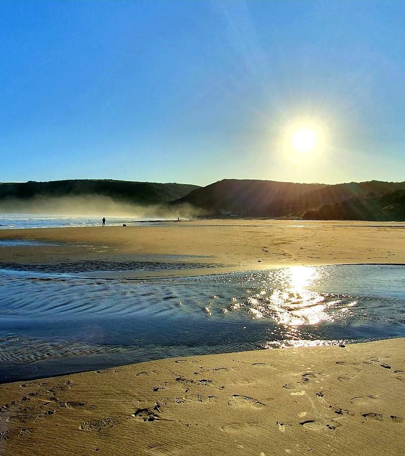
6.5A curved sandy shoreline sits beneath red-roofed former fishermen’s cottages on the hillside. The beach is the main attraction, with clifftop views and a coastal walking route adding a wider perspective.
The appeal here is the meeting of beach, steep village and open coastal views: a distinctive North Yorkshire shoreline with both a shoreline wander and a clifftop perspective. The supplied sources mention fossil hunting, but do not establish current access or conditions, so check locally before setting out.
Dramatic · Atmospheric
Find your way
Open mapRunswick Bay, North Yorkshire coast, within the North York Moors National Park
Opening map…
Know this place a little better?
The experience
Start on the sandy shoreline and take in the curve of the bay beneath the cottages. If conditions and access allow, extend the visit onto the clifftop path for a different view of the coast. Check tides, route conditions and local guidance before setting out.
Things to do
Take in the curve of the sandy bay
Walk the shoreline and look back towards the hillside cottages. Check tide and local beach conditions before going.
See the bay from the clifftop
The Cleveland Way runs along the clifftop here. Check route conditions and access information before choosing a walk.
Notice the village’s former fishing-cottage setting
Look up from the shore towards the characterful cottages described as clinging to the hillside; the supplied source identifies them as former fishermen’s cottages.
Make a day of it
Quick escape · About 1–2 hours; indicative only.
Quick Escape: beach and village views
- 01
Take in the curve of the sandy shoreline.
- 02
Look back towards the red-roofed cottages on the hillside.
- 03
If conditions and access allow, spend time looking for fossils; check local guidance and beach conditions first.
Half day · Half day; indicative only.
Make a half day of it: shoreline and clifftop
- 01
Begin with the beach and views of the village.
- 02
Consider a section of the Cleveland Way clifftop route, checking current conditions, access and route information before setting out.
- 03
Return to the bay or village; verify current food and facility options locally.
Verified history
The North York Moors National Park source describes the hillside cottages as former fishermen’s cottages. Tripadvisor’s supplied description notes a historic lifeboat boathouse associated with the village’s maritime past. The supplied excerpts do not give dates or further historical detail.
Hidden details
Former fishermen’s cottages — Look up the hillside for the cottages described by the National Park source as former fishermen’s homes.
When to go
· No specific time of day is established by the supplied sources. Check tides and conditions before visiting.
The supplied sources do not establish a seasonal wildlife or landscape peak.
Check coastal weather, tide times and local conditions before visiting; no detailed safety or weather guidance is supplied.
Worth pairing with
Cleveland Way clifftop route
The national trail runs along the clifftop at Runswick Bay and is a sourced way to extend a beach visit. Check route conditions and access before setting out.
Port Mulgrave harbour remains
Tripadvisor’s supplied description mentions views towards the remains of the nearby harbour. The excerpt does not provide directions or access details.
What to look for
- 01
The red-roofed cottages huddled on the hillside
- 02
the bay’s curved sandy shoreline
- 03
and, where safe and accessible, the layered coastal cliffs and traces of the area’s maritime past.
The story
Maritime
Best time to go
Check local conditions before visiting; the supplied sources do not establish a best season.
No specific best time is verified by the supplied sources. Check tide times and local conditions before a beach visit.
How long to spend
1–2 hours
Perfect for
Walkers · Photographers · History lovers
Before you go
Google rating
Practical information
Opening & access
A coastal village and sandy bay described as a visitor destination. Check current access, tide conditions and local guidance before travelling.
Check before visiting
Parking
Check before visiting.
Check before visiting
Toilets
Check before visiting.
Check before visiting
Food & drink
Check before visiting.
Check before visiting
Dogs
Check current local rules before visiting.
Check before visiting
Accessibility
The source row mentions a steep hill; no verified step-free route or accessibility details are supplied. Check before visiting.
Check before visiting
Cost
Check before visiting
Check before visiting
Water
Sea
Gallery
Place photographs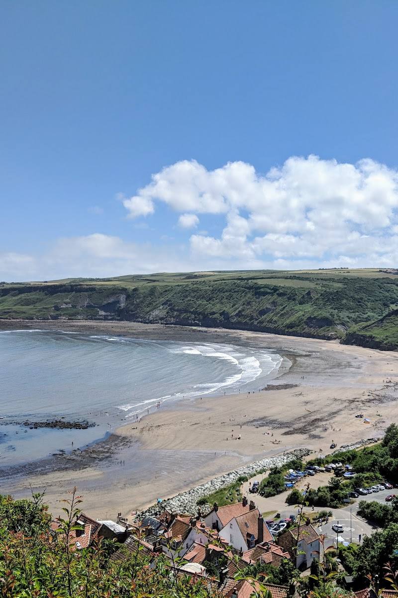
Keep exploring
Around Runswick Bay
Within 50 km · approximate straight-line distances
 Place photograph8.0
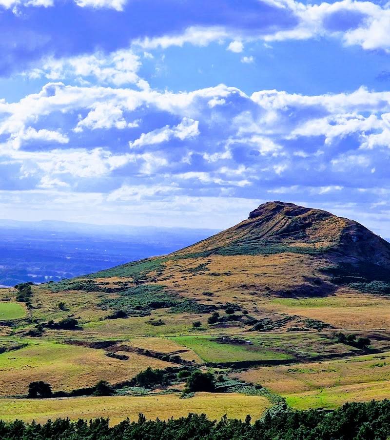
Roseberry Topping
Near Newton-under-Roseberry and Great Ayton, North Yorkshire
24.1 km away
 Place photograph8.7
Forest Holidays Keldy
Keldy Castle, Cawthorn, near Pickering, North Yorkshire YO18 8HW
24.7 km away
 Place photograph8.7
Forest Holidays Cropton
Moor Lane, Pickering, North Yorkshire YO18 8ES
24.9 km away