Near Newton-under-Roseberry and Great Ayton, North Yorkshire
Roseberry Topping
Viewpoint
Place photograph
8.0
Wildland
1–2 hours
Time
Check
Cost
Dramatic
Feel
Why it's Wildland
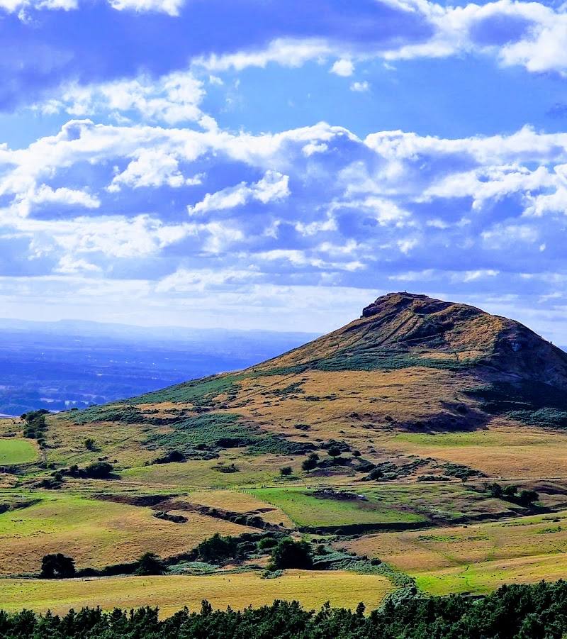
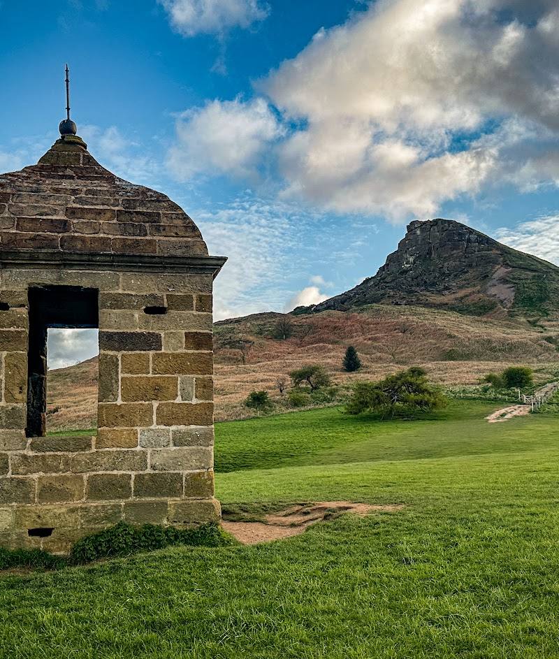
8.0A jagged, half-cone summit rises above the Cleveland landscape. Its distinctive outline reflects a hard sandstone cap over softer shales and a summit collapse in 1912.
Roseberry Topping earns its place through a remarkably recognisable profile and a steep, rewarding climb to broad views over the Cleveland plain. The summit’s geology gives the landscape a story you can read in its shape.
Dramatic · Big-sky · Wild
Find your way
Open mapNear Newton-under-Roseberry and Great Ayton, North Yorkshire
Opening map…
Know this place a little better?
The experience
Choose a short summit ascent for the defining view, or extend the outing on a longer walk linking the hill with Captain Cook’s Monument. Steep sections are reported; plan for suitable footwear and check route conditions.
Things to do
Climb to the distinctive summit
Take a footpath to the jagged summit and look across the Cleveland plain. A supplied source describes steep sections on the ascent.
About 1 hour for the shortest return walk, per a supplied route guide; conditions and pace will affect timing.
Extend the walk to Captain Cook’s Monument
A supplied walking post describes a 6½-mile circular outing linking the summit with Captain Cook’s Monument, Easby Moor, and woodland and moorland sections.
A 6½-mile route; total time not specified by the supplied source.
Make a day of it
Quick escape · About 1 hour for the shortest return walk, according to a supplied route guide; allow longer if needed.
Quick Escape: climb to the summit
- 01
Start from the nearby car park described in the supplied walking guide; verify current parking arrangements.
- 02
Follow a route to the summit, where the source describes steep sections.
- 03
Pause at the top for the views, then return by your chosen path.
Half day · About 6½ miles for the circular walk described by the supplied route post; allow a half day, subject to pace and conditions.
Half Day: summit and Captain Cook’s Monument
- 01
Use the Great Ayton start described in the route post and follow a suitable mapped route.
- 02
Walk via Cliff Ridge Wood and Roseberry Topping, then continue towards Captain Cook’s Monument on Easby Moor.
- 03
Return on the described circular route; consult the original route guide and a current map before setting out.
Verified history
A supplied Tripadvisor description says Roseberry Topping is about 320 metres high and identifies it as a geological Site of Special Scientific Interest managed by the National Trust. It describes the hill’s profile as resulting from a hard sandstone cap over underlying shales and a summit collapse in 1912. Verify these details with an authoritative geological or land-manager source before publication as established history.
When to go
· No specific time is verified by the supplied sources. Choose a clear forecast for the best chance of expansive views.
The supplied sources do not establish seasonal highlights or conditions.
Check the forecast and local path conditions before setting out; exposed summit weather may differ from conditions below.
Worth pairing with
Captain Cook’s Monument, Easby Moor
A supplied walking post includes the monument as part of a longer circular walk from Great Ayton via Roseberry Topping.
What to look for
Look at the jagged summit profile and notice how the hard cap rock stands above softer surrounding slopes. The supplied Tripadvisor description attributes the present shape to a summit collapse in 1912.
The story
Geology and landscape formation
Best time to go
Check conditions before setting out; no specific best season is established by the supplied sources.
No best time of day is confirmed by the supplied sources. Clear conditions should help with views; check the forecast before setting out.
How long to spend
1–2 hours
Perfect for
Walkers · Photographers · Families · Dogs
Before you go
Address
Google rating
Practical information
Opening & access
Prominent hill with footpaths to the summit. A supplied source describes waymarked routes and a National Trust car park nearby; check current access and parking arrangements before travelling.
Check before visiting
Parking
A supplied route guide reports a National Trust car park nearby on the A173, postcode TS9 6QS, and another pay-and-display car park. Check current availability, charges and access before visiting.
Check before visiting
Toilets
Check before visiting
Check before visiting
Food & drink
Check before visiting
Check before visiting
Dogs
A source-row description calls the walking trails dog-friendly; check current rules and signage before visiting.
Check before visiting
Accessibility
The summit approach is steep in places, according to a supplied walking source. No accessible route information is available in the supplied evidence; check before visiting.
Check before visiting
Cost
Check before visiting
Check before visiting
Gallery
Place photographs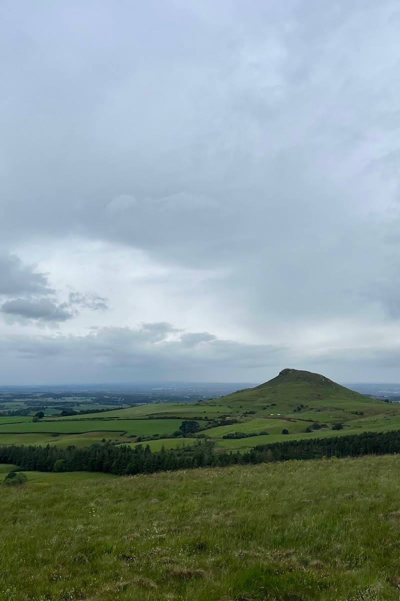
Keep exploring
Around Roseberry Topping
Within 50 km · approximate straight-line distances
 Place photograph8.7
Forest Holidays Cropton
Moor Lane, Pickering, North Yorkshire YO18 8ES
27.4 km away
 Source image5.4
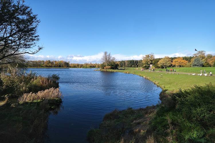
Serpentine Lake
Hyde Park, London
28.6 km away
 Place photograph8.7
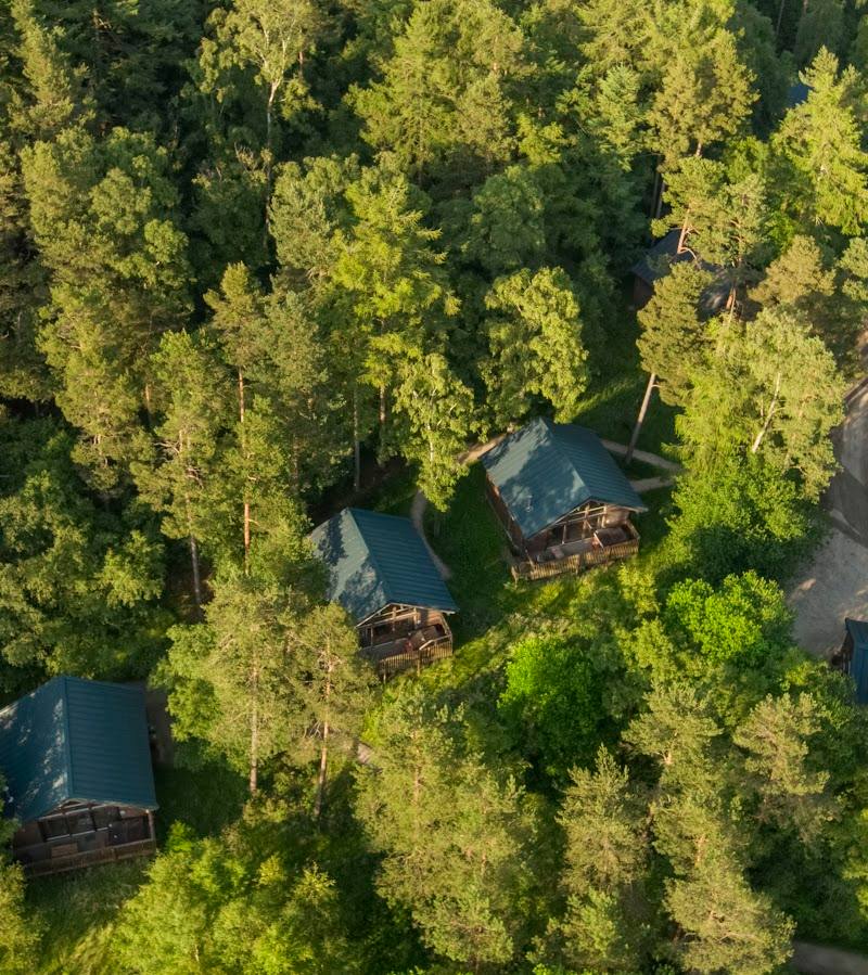
Forest Holidays Keldy
Keldy Castle, Cawthorn, near Pickering, North Yorkshire YO18 8HW
28.8 km away