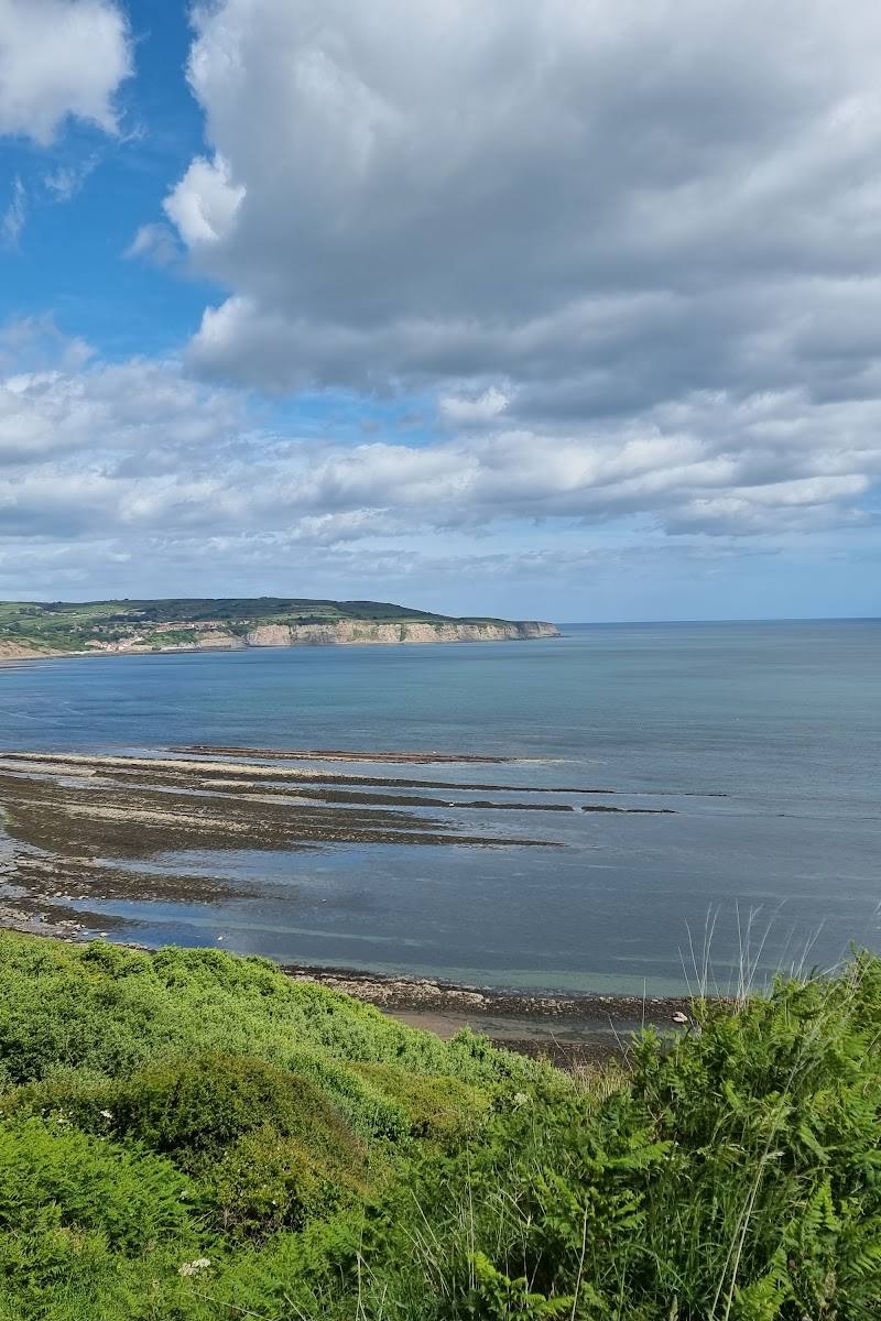
Yorkshire coast, North Yorkshire
Yorkshire Coast
Coastal reserve
Place photograph
7.1
Wildland
Half day to full day, depending on the section explored
Time
Check
Cost
Dramatic
Feel
Why it's Wildland
7.1A long, varied coast where cliff-top paths link sandy bays and fishing villages with traces of mining, brickmaking and wartime defences. The Cleveland Way passes through the National Trust’s Yorkshire Coast area between Saltburn and Filey.
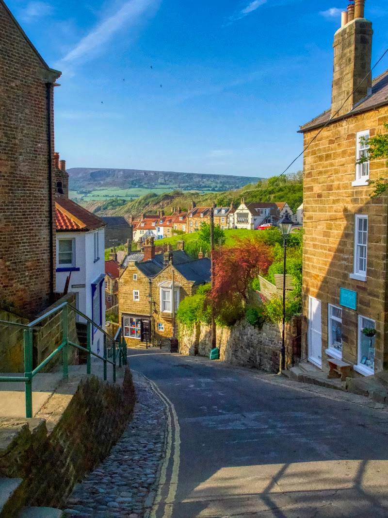
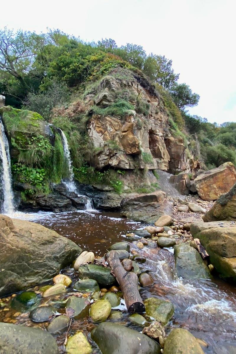
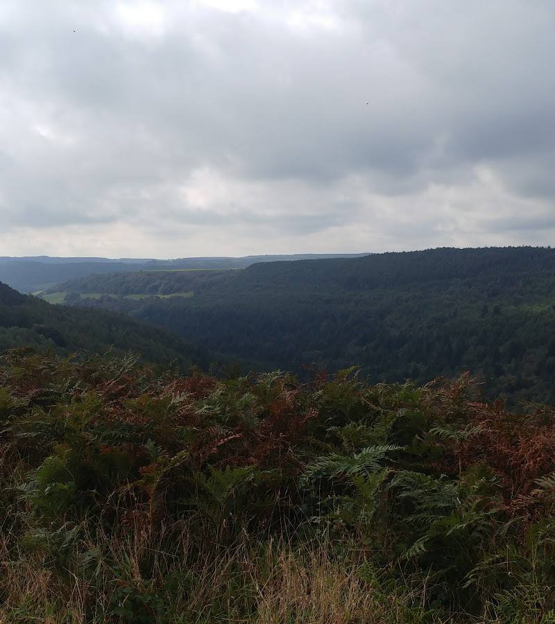
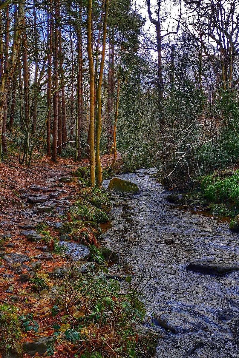
This earns its place for the way wild coastline and human history sit side by side: cliff-top walking, sandy bays, wildflower meadows and the remains of industries and wartime infrastructure. It is a broad coastal landscape rather than one single attraction, so choose a section and check local access before visiting.
Dramatic · Atmospheric · Wild · Big-sky
Find your way
Open mapYorkshire coast, North Yorkshire
Opening map…
Know this place a little better?
The experience
Choose one stretch rather than trying to cover the whole coast in a single visit. Follow a section of the Cleveland Way, take time to explore a village or bay en route, and check current conditions before any beach access. The National Trust notes cliff falls have closed access to Ravenscar beach.
Things to do
Walk a section of the Cleveland Way
Follow a chosen stretch of the National Trail, which the National Trust says passes through the coast between Saltburn and Filey. Check route conditions and access notices before setting out.
Explore Ravenscar on the short circular walk
The National Trust describes a short circular walk with optional loops, combining views with Ravenscar’s past and present. Beach access at Ravenscar is currently closed following cliff falls.
Look for traces of coastal industry and wartime use
The National Trust identifies remains including Peak Alum Works, Ravenscar Brickworks, an ironstone mine fanhouse and a Second World War radar station.
Explore the fishing village of Staithes
Route YC describes Staithes as a fishing village with a harbour and the Captain Cook and Staithes Heritage Centre. Check current opening information before visiting the centre.
Visit Whitby’s Old Town and clifftop abbey
A Yorkshire Coast tour itinerary includes a walking tour of Whitby Old Town and a visit to the gothic abbey. Confirm access and opening details independently.
Make a day of it
Quick escape · Short walk; check the current route details before setting out
A short coastal wander at Ravenscar
- 01
Start from Ravenscar and take a short walk to enjoy the coastal views; the National Trust lists a circular easy walk with optional loops.
- 02
Look for the remains of the radar station and the wider area's industrial history.
- 03
Do not descend to Ravenscar beach: the National Trust reports that beach access is currently closed following cliff falls.
Half day · Half day
Make a half day of the coast
- 01
Choose a section of the Cleveland Way and check local access and transport before you go.
- 02
Build in time for a village or bay along the route; the National Trust identifies coastal villages and bays as part of the landscape.
- 03
Look out for coastal industry and wartime remains, including the Ravenscar area’s radar station and ironstone mine fanhouse.
- 04
Check current cliff and beach access notices; conditions and access vary by location.
Full Wildland day · Full day
A full-day coast tour by vehicle
- 01
Use a coastal itinerary linking Staithes, Runswick Bay, Sandsend, Whitby and Robin Hood’s Bay; the tour operator describes this as a day exploring historic seaside towns and fishing villages.
- 02
In Whitby, explore the Old Town and visit the clifftop abbey if current access and opening arrangements allow.
- 03
Finish with a coastal village stop before returning across the North York Moors; check transport, admissions and opening details independently.
Verified history
The National Trust identifies the remains of Peak Alum Works, Ravenscar Brickworks, an ironstone mine fanhouse and a Second World War radar station along the coast. These features record several layers of industry and coastal defence, though the supplied source does not give dates or detailed histories for each site.
Hidden details
Look for the industrial landscape at Ravenscar — The National Trust identifies the remains of an ironstone mine fanhouse and a Second World War radar station in the coastal landscape. Check local information for exact locations and access.
When to go
May · June · September · Choose a clear, settled day for coastal views; check the forecast and local access notices before travelling.
The source row recommends late spring or early autumn for milder weather and thinner crowds, while noting summer is popular. Coast conditions and visitor levels vary by location.
Coastal weather can change quickly. Check the forecast and local cliff and beach access notices; the National Trust reports current closure of the beach at Ravenscar following cliff falls.
Worth pairing with
Staithes
A fishing village with a harbour and the Captain Cook and Staithes Heritage Centre, according to Route YC.
Whitby
A tour itinerary pairs Whitby Old Town with its clifftop abbey; check current access and opening details before visiting.
Robin Hood’s Bay
The National Trust identifies the village as part of the coast; the tour itinerary also includes it as a stop. Note that the National Trust’s Old Coastguard Station café is permanently closed.
What to look for
Look for the remains of Peak Alum Works, Ravenscar Brickworks, the ironstone mine fanhouse and the former Second World War radar station. Along the way, notice how cliff-top paths, wildflower meadows, rocky shores and sandy bays change from one section of coast to another.
The story
Coastal industry and wartime remains, including Peak Alum Works, Ravenscar Brickworks, an ironstone mine fanhouse and a Second World War radar station.
Best time to go
Late spring to early autumn for milder walking conditions; quieter visits may be possible outside peak summer, but weather and access vary along the coast.
Late spring to early autumn is a practical choice for coastal walking. For a quieter feel, consider visiting outside the busiest summer periods, while checking the forecast, tides where relevant and local access notices.
How long to spend
Half day to full day, depending on the section explored
Perfect for
Walkers · Photographers · Wildlife lovers · History lovers · Families · Dogs
Practical information
Opening & access
The coast is connected by the Cleveland Way, with access by road, train and bus to several coastal towns. Access and conditions vary by location. There is currently no access to the beach at Ravenscar following cliff falls; check current local guidance before setting out.
Check before visiting
Parking
Parking options vary by location. The National Trust lists free roadside parking at Ravenscar and pay-and-display parking at several coastal locations; check current restrictions and availability before travelling.
Check before visiting
Toilets
Facilities vary by location. The National Trust source lists public toilets at Ravenscar; check current provision before travelling.
Check before visiting
Food & drink
Food and refreshments vary by town. The National Trust source states that its Ravenscar and Old Coastguard Station cafés are permanently closed.
Dogs
Dog access and rules vary by location. The National Trust welcomes dogs on short leads in visitor centres and advises keeping them on short leads around livestock and away from cliff edges; check local signage.
Check before visiting
Accessibility
Accessibility varies considerably. The coast includes cliff-top paths, uneven surfaces, steps and steep gradients. Do not assume a route or beach is accessible; check local access information before setting out.
Check before visiting
Cost
Varies by location; check before visiting
Check before visiting
Water
Sea, sandy bays and rocky shores
Gallery
Place photographs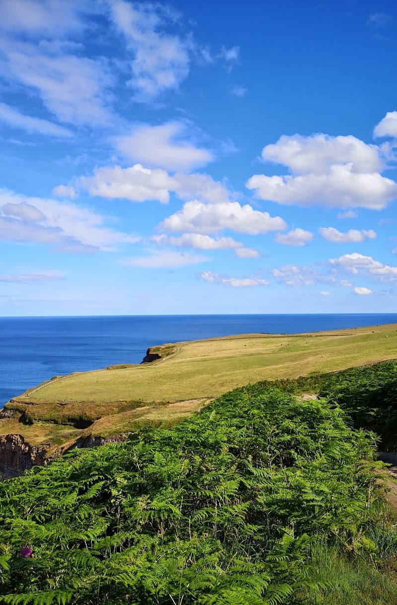
Keep exploring
Around Yorkshire Coast
Within 50 km · approximate straight-line distances