Wykeham Forest, near Scarborough, North Yorkshire YO13 9EB, within the North York Moors National Park.
Wykeham Forest
Forest recreation landscape
Place photograph
6.0
Wildland
1–2 hours to Full day
Time
Check
Cost
Wild
Feel
Why it's Wildland
6.0A working, planted forest with a wider story than its trails first suggest: its landscape includes old earthworks, Bronze Age barrows and the remains of a historic rabbit-warren system.
Wykeham Forest is a substantial, varied forest landscape rather than a single viewpoint: its many paths reach wooded slopes and the Highwood Brow viewpoint, while documented earthworks and archaeological sites add depth to a walk. Expect steep and muddy sections on longer routes.
Wild · Peaceful
Find your way
Open mapWykeham Forest, near Scarborough, North Yorkshire YO13 9EB, within the North York Moors National Park.
Opening map…
Know this place a little better?
The experience
Choose a shorter local wander or make a longer loop through the forest. The mapped Wykeham Forest route is about 8.7 miles, takes roughly 4–4.5 hours, and has steep and muddy sections. Highwood Brow is a named viewpoint on the route; use a current map because the forest has multiple paths.
Things to do
Walk a forest route
Explore a section of the forest on foot. Routes pass through wooded paths and open areas; consult a current map because the forest has multiple paths.
1–4.5 hours
Reach Highwood Brow
Include this named viewpoint on the mapped longer forest route. Views and route conditions depend on weather and visibility.
Notice the older landscape
The forest contains recorded earthworks and three Late Bronze Age round barrows. Appreciate them from appropriate paths; do not disturb archaeological remains.
Make a day of it
Quick escape · 1–2 hours
A short forest wander
- 01
Check current access information and choose a suitable starting point before setting out.
- 02
Follow a short section of the forest paths, turning back when time or conditions require.
- 03
Look for changes between the conifer and broadleaf areas and open ground.
Half day · About 4–4.5 hours
Highwood Brow forest loop
- 01
Use a current map to plan the mapped Wykeham Forest loop; the AllTrails listing describes it as about 8.7 miles and a loop.
- 02
Allow for steep sections, muddy ground and varied terrain; wear supportive footwear.
- 03
Include Highwood Brow as a viewpoint stop, then complete the planned loop.
Verified history
Wykeham Forest was planted in stages between 1924 and 1987 as part of the wider Allerston Forest programme. Its landscape also preserves evidence of earlier use: Moor Dike earthwork crosses the forest, three round barrows are dated to the Late Bronze Age, and rabbit warrens associated with the London millinery trade were listed as scheduled monuments in 2003. The source also records the use of German and Italian prisoners of war in wartime planting work.
Hidden details
A forest laid out over decades — The woodland was planted in stages from 1924 to 1987, and combines conifer and broadleaf trees with open ground. It is a managed forest landscape, not ancient woodland.
Traces beneath the trees — Moor Dike earthwork and three Late Bronze Age round barrows are recorded within the forest. Their exact locations and visitor access are not established here.
The rabbit-warren landscape — Some forest rabbit warrens were listed as scheduled monuments in 2003. They formed a managed system supplying pelts to the London millinery trade.
When to go
· A clear, dry part of the day is practical for longer routes and viewpoints. Check the forecast and daylight before setting out.
Sources describe walking throughout the forest but do not establish a particular seasonal highlight. Muddy sections are reported, so recent rainfall may affect conditions.
Expect muddy areas and steep ground on the longer route. Check local weather and current conditions; carry a map or navigation tool for a forest with multiple paths.
The route
- ascent
- 1,309 ft (AllTrails); HiiKER lists 406 m for its route.
- stiles
- Check before visiting.
- surface
- Varied terrain; AllTrails reports gravel, paved and unknown sections. Muddy areas are noted.
- distance
- 8.7 miles (AllTrails); a separate HiiKER route listing gives 14.0 km.
- duration
- About 4–4.5 hours (AllTrails); HiiKER estimates about 3 hours 28 minutes for its listed loop.
- difficulty
- Moderate on AllTrails; HiiKER labels its separate route easy. Conditions and route versions differ.
- waymarking
- The forest has multiple paths; use a current map or navigation tool. Waymarking is not confirmed.
- route shape
- Loop
- start point
- The AllTrails listing is for Wykeham Forest; exact start point: Check before visiting.
- parking start
- Parking and exact start arrangements: Check before visiting.
- shorter alternative
- The AllTrails listing says there are options to shorten or extend the route, but does not specify a shorter distance. Plan a return walk on a current map.
- Highwood Brow viewpoint
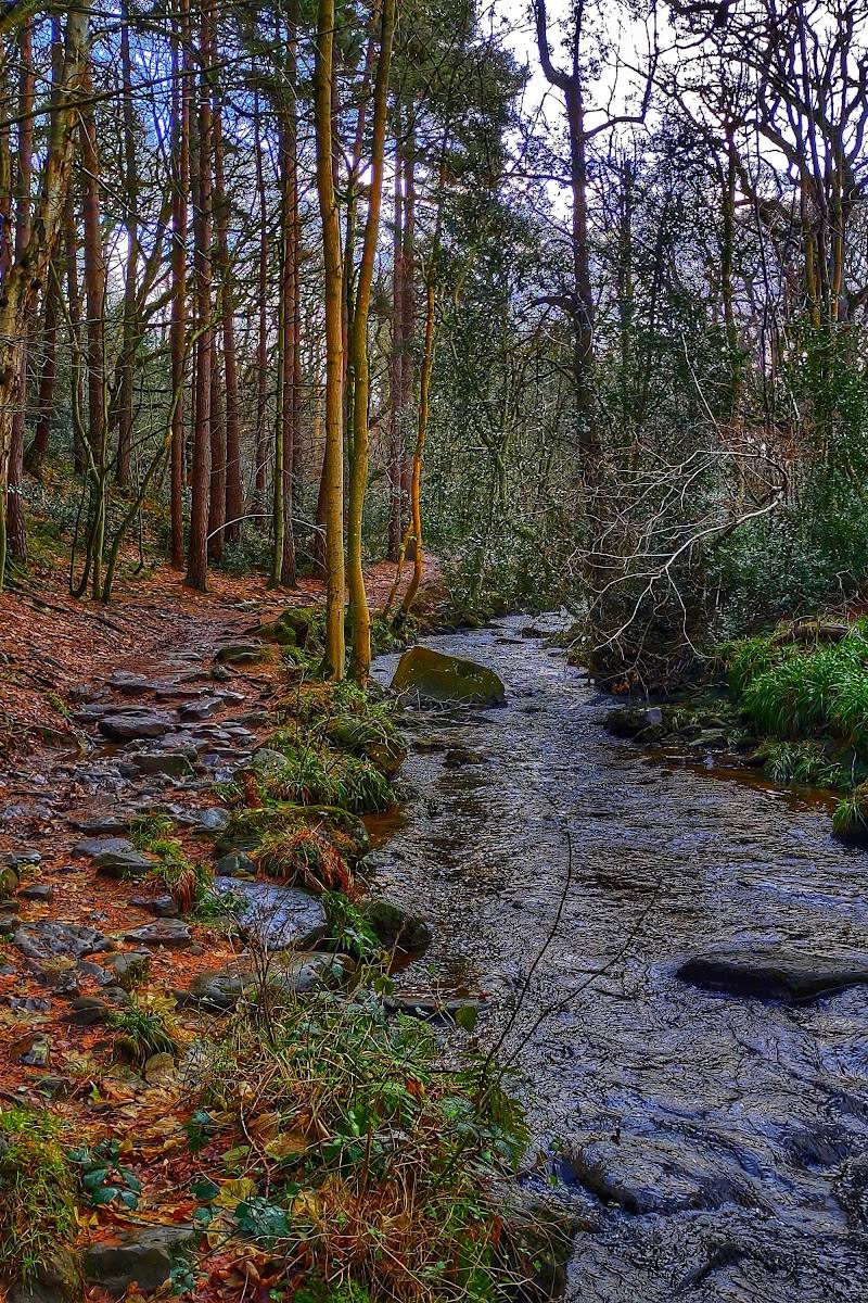
- Tree-lined forest paths
- Troutsdale is listed as a nearby valley point of interest
What to look for
- 01
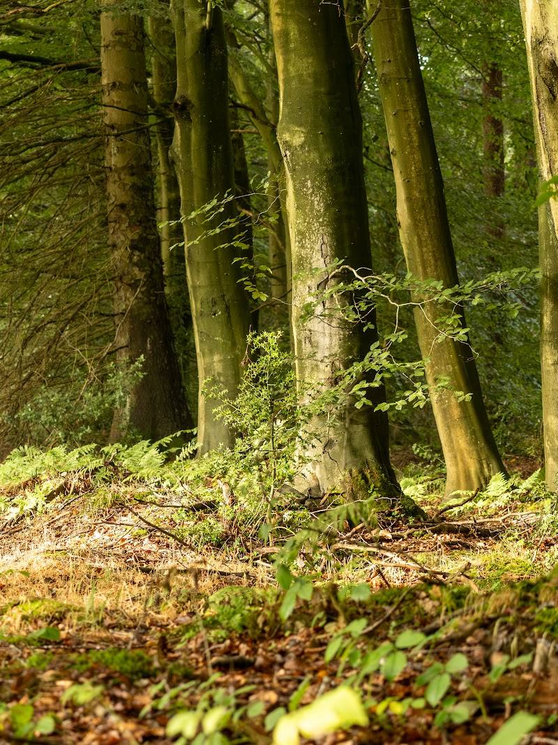
Look for the change between conifer and broadleaf woodland, open ground and forest rides
- 02
seek out the Highwood Brow viewpoint and, without leaving paths or disturbing the ground, notice the landscape’s recorded earthworks and Bronze Age barrows.
The story
Forestry history, archaeological earthworks and Bronze Age barrows.
Best time to go
Spring to autumn for longer walks; check conditions before setting out, particularly after wet weather.
Choose a clear, dry day for the longer routes and views. After rain, expect muddy areas; sturdy footwear is advisable.
How long to spend
1–2 hours to Full day
Perfect for
Walkers · Dogs · Photographers
Before you go
Address
Google rating
Practical information
Opening & access
A large forest with walking routes and other outdoor recreation described by sources. Access arrangements and current forestry operations can change; check before visiting and follow on-site signs. Access arrangements are unconfirmed. Check before visiting; do not enter private land or restricted structures.
Check before visiting
Parking
Parking details and the best current starting point: Check before visiting.
Check before visiting
Toilets
Check before visiting.
Check before visiting
Food & drink
Check before visiting.
Check before visiting
Dogs
A route listing describes dogs as welcome and advises keeping them on a lead where livestock are present. Check current signage and conditions before visiting.
Check before visiting
Accessibility
Longer forest routes may include steep, muddy and uneven ground. One mapped route is described as partially paved, but route conditions and suitability vary; check before visiting.
Check before visiting
Cost
Check before visiting
Check before visiting
Water
Rivers are noted in the forest area. Swimming or paddling permission is not established; do not assume access.
Gallery
Place photographs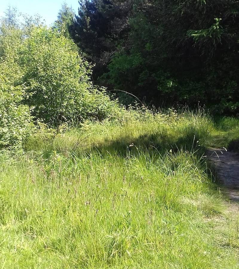
Keep exploring
Around Wykeham Forest
Within 50 km · approximate straight-line distances
 Place photograph7.4
Dalby Forest
Low Dalby, near Thornton-le-Dale and Pickering, North Yorkshire
3.8 km away
 Place photograph8.1
Hayburn Wyke waterfall
Hayburn Wyke, near Scarborough, North Yorkshire YO12 6LD
11.4 km away