Rhyd-Ddu, Eryri (Snowdonia), Gwynedd, Wales
Rhyd Ddu Path to Yr Wyddfa
route · Long-distance trail
Place photograph
7.0
Wildland
Full day
Time
Check
Cost
Wild
Feel
Why it's Wildland
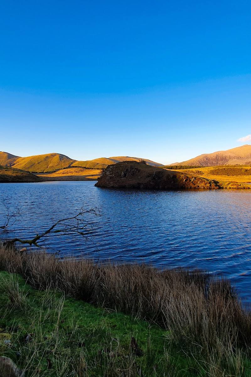
7.0A western approach to Yr Wyddfa that begins on an old quarry track before climbing into steep, rugged mountain country and the exposed ridge of Bwlch Main.
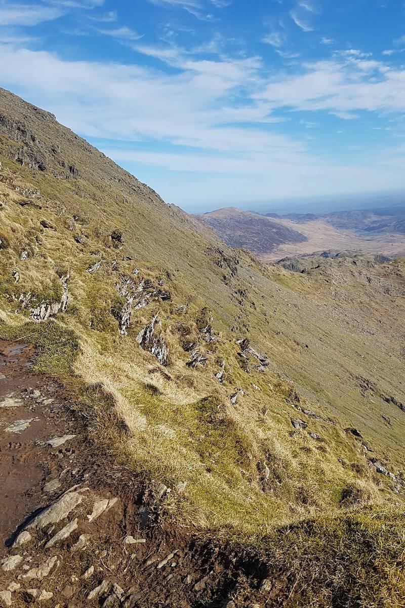
This is a substantial mountain route with a distinctive change of character: an old quarry track gives way to rugged upland walking and a narrow, exposed ridge. It offers a quieter alternative to some of Yr Wyddfa’s busier approaches, but the summit section demands confidence, preparation and suitable mountain conditions.
Wild · Dramatic · Big-sky
Find your way
Open mapRhyd-Ddu, Eryri (Snowdonia), Gwynedd, Wales
Opening map…
Know this place a little better?
The experience
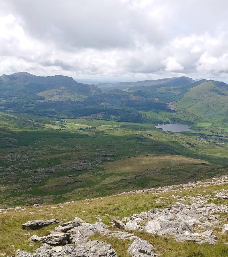
A demanding out-and-back mountain walk from Rhyd-Ddu to Yr Wyddfa, with a quarry-track approach, steep rocky climbing and an exposed ridge section near the summit.
Things to do
Climb Yr Wyddfa by the Rhyd Ddu Path
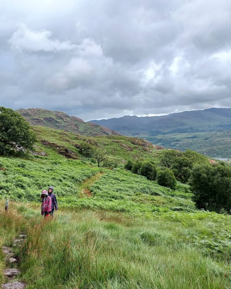
Follow the route from Rhyd-Ddu, beginning on a track once used for Bwlch Cwm Llan slate quarry, then climb the steep, rocky upper path towards Yr Wyddfa.
Full day; verify a current estimate before setting out.
Cross the Bwlch Main ridge
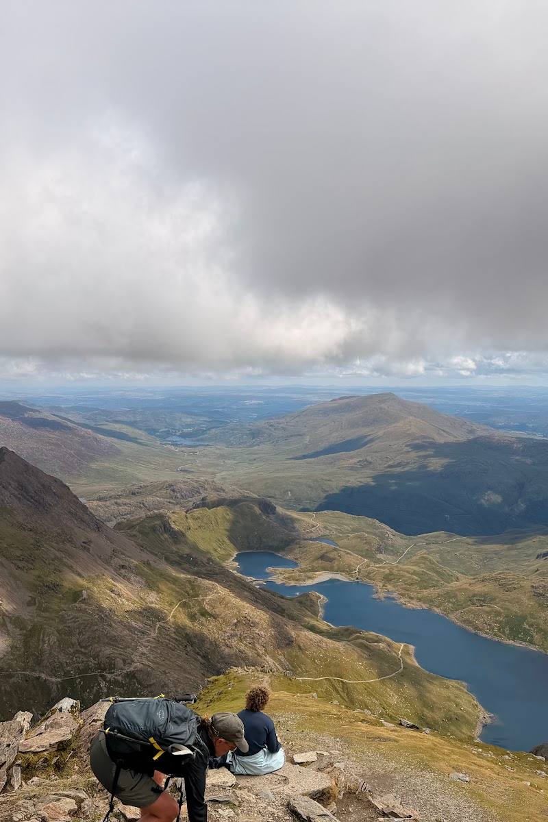
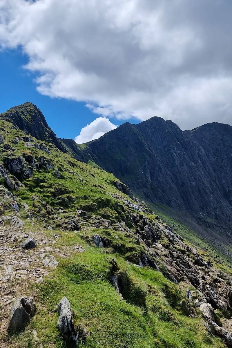
The upper route includes a narrow ridge section between Clawdd Coch and Yr Wyddfa. It is exposed and requires care; the supplied route source advises that a good head for heights is needed.
Make a day of it
Quick escape · Full day; check current route guidance for an estimated walking time.
The Rhyd Ddu Path to Yr Wyddfa
- 01
Start in Rhyd-Ddu and follow the Rhyd Ddu Path.
- 02
Follow the initial track associated with the former Bwlch Cwm Llan slate quarry.
- 03
Continue uphill over steep, rocky ground.
- 04
Take particular care on the narrow ridge at Bwlch Main.
- 05
Return by the same route.
Verified history
The route’s initial track was once used by Bwlch Cwm Llan slate quarry. The supplied sources do not provide further verified historical detail.
Hidden details
A route shaped by slate quarrying — The opening track was once used by Bwlch Cwm Llan slate quarry, a reminder that this mountain approach follows a landscape with an industrial past.
When to go
· Check the mountain forecast and start early enough to allow for the full demanding route and return.
The supplied sources do not establish a best season. Mountain conditions and the seasonal, weather-dependent operation of summit facilities can affect the experience.
Conditions can be exposed near the summit; one source warns that wind can be biting towards the top. Check the mountain forecast and carry suitable clothing and footwear.
The route
- ascent
- 2,893 ft (about 882 m), as listed by AllTrails
- surface
- Track followed by steep, rocky mountain terrain; narrow ridge section near the summit.
- distance
- 7.6 miles (12.2 km) out and back, as listed by AllTrails
- duration
- Check current route guidance; no verified duration is available in the supplied excerpts.
- difficulty
- Hard
- route shape
- Out and back
- start point
- Rhyd-Ddu
- parking start
- Parking details are not confirmed by the supplied sources. Check before visiting.
- The route begins in Rhyd-Ddu.
- The initial track was once used by Bwlch Cwm Llan slate quarry.
- The upper route includes steep, rocky terrain.
- The narrow Bwlch Main ridge is a notable and exposed section.
What to look for
Notice the change from the old quarry track to rougher mountain terrain, then take particular care on the narrow ridge section at Bwlch Main. The supplied sources do not verify other specific historic or natural features along the route.
The story
Industry
Best time to go
Check current mountain conditions before choosing a date; conditions can change quickly at altitude.
Choose a day with suitable mountain conditions and check the forecast and route guidance before leaving. The summit café and toilets mentioned by one source are seasonal and weather-dependent.
How long to spend
Full day
Perfect for
Walkers · Photographers
Route at a glance
Duration
Full day
Terrain
Hills, Remote countryside
Parking / start
Parking details are not confirmed by the supplied sources. Check before visiting.
Before you go
Address
Practical information
Opening & access
The route starts in Rhyd-Ddu and climbs Yr Wyddfa (Snowdon). This is a demanding mountain walk with steep, rocky sections and a narrow ridge near the summit. Check current route conditions, access and local guidance before setting out. Access arrangements are unconfirmed. Check before visiting; do not enter private land or restricted structures.
Check before visiting
Parking
Parking details are not confirmed by the supplied sources. Check before visiting.
Check before visiting
Toilets
Check before visiting.
Check before visiting
Food & drink
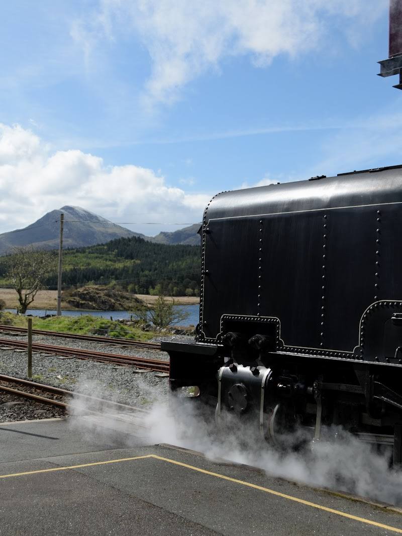
A summit café is described by one source as operating seasonally and depending on weather and train operations. Check before visiting.
Check before visiting
Dogs
Dogs may find the narrow, exposed summit ridge difficult. Check current guidance and assess your dog’s suitability before setting out.
Check before visiting
Accessibility
A strenuous mountain route with steep, rocky terrain and a narrow ridge near the summit; not suitable for visitors seeking an easy or step-free walk. Check conditions and your ability before setting out.
Check before visiting
Cost
Check before visiting
Check before visiting
Gallery
Place photographsKeep exploring
Around Rhyd Ddu Path to Yr Wyddfa
Within 50 km · approximate straight-line distances