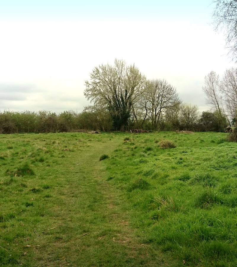
Between Shepreth and Meldreth, Cambridgeshire
L-Moor, Shepreth
Mixed-habitat reserve
Place photograph
6.2
Wildland
Under 1 hour
Time
Free
Cost
Peaceful
Feel
Why it's Wildland
6.2A small, unploughed grassland reserve shaped by old coprolite diggings, with wet hollows, chalky ground and a chalk stream supporting a rich mix of flowers and insects.
L-Moor earns its place through the details: centuries of unploughed grassland, flower-rich wet and dry ground, and old paths across a compact reserve. It is a short, wildlife-focused visit rather than a long countryside walk.
Peaceful · Seasonal
Find your way
Open mapBetween Shepreth and Meldreth, Cambridgeshire
Opening map…
Know this place a little better?
The experience
Allow around half an hour to an hour for a short visit across rough meadow paths. Come in spring or summer, take care on the narrow access bridges, and look for the contrast between the drier chalky ground and wetter hollows. There is no evidenced longer route or worthwhile sourced day-out expansion.
Things to do
Look for May bugle
The Wildlife Trust notes purple swathes of bugle on either side of the railway line, at their peak in May.
Part of a short reserve visit
Compare the wet hollows and chalky ground
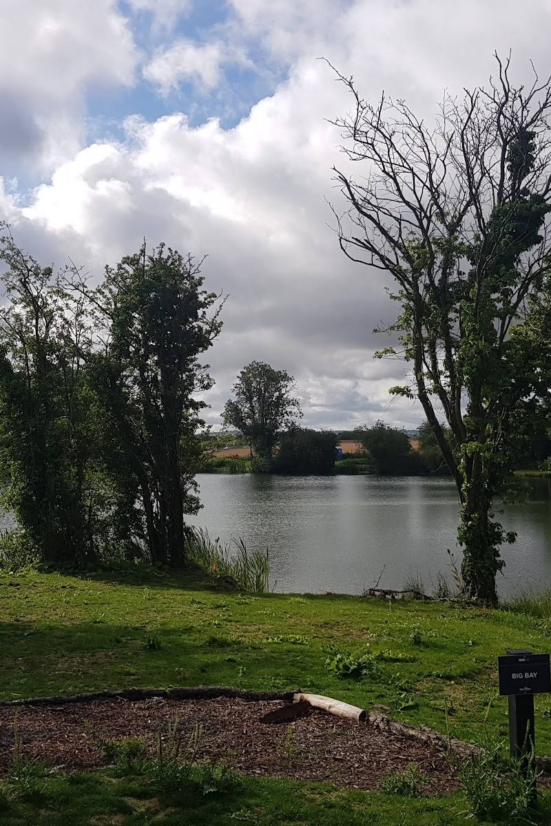
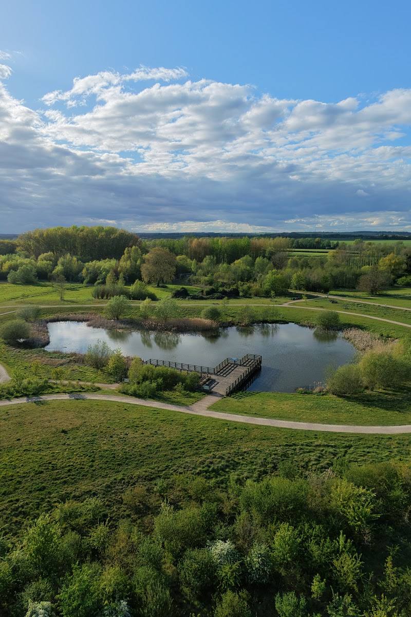
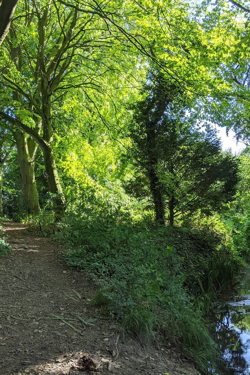
Notice how the reserve shifts between wetter areas and drier chalky ground, a habitat mosaic associated with its rich range of flowers and insects.
Part of a short reserve visit
Search the short turf for wild thyme and harebell
Rabbit-grazed patches can reveal mats of wild thyme and delicate blue harebell.
Part of a short reserve visit
Notice the plants of the wetter ground
Look for devil’s-bit scabious, fen bedstraw, sedges and rushes in the damp areas.
Part of a short reserve visit
Spot signs of the reserve’s past uses
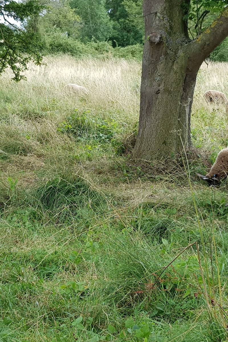
The reserve was granted to Shepreth cottagers for grazing in 1823; old paths and ant hills are noted as signs of land left unploughed for centuries. Coprolite digging also helped create the present ground form.
Part of a short reserve visit
Make a day of it
Quick escape · 30–60 minutes
Quick meadow wildlife stop
- 01
Park in the lay-by on Meldreth Road.
- 02
Cross the narrow bridges into the reserve and follow the rough grass paths.
- 03
Look between the dry chalky ground and wet hollows for seasonal flowers and insects.
- 04
Return the same way; the supplied evidence does not establish a formal circular route.
Verified history
In 1823, the Moor was given to Shepreth cottagers to graze their livestock, a practice that continues. The Wildlife Trust notes that old footpaths and ant hills indicate the ground has been unploughed for centuries. Coprolite digging created the reserve’s mix of wet hollows and drier chalky areas.
Hidden details
The coprolite-digging landscape — The uneven contrast between wet hollows and drier chalky ground is linked by the Wildlife Trust to past coprolite digging.
Flowers on rabbit-nibbled turf — Where rabbits have kept the turf short, the Wildlife Trust describes mats of wild thyme and delicate blue harebell.
Bugle by the railway line — Purple bugle flowers grow on either side of the railway line and are at their peak in May.
When to go
April · May · June · July · August · No specific time of day is established by the supplied sources.
The Wildlife Trust recommends spring and summer; May is the stated peak for bugle. Other exact flowering dates are not specified.
The reserve has rough grass paths and wet hollows; conditions may vary. Check before visiting.
The route
- surface
- Rough grass paths in meadow; narrow bridges from the road into the site.
- duration
- 30–60 minutes for a short reserve visit; an external route listing gives a 1.4-mile loop, but the reserve source does not confirm that route.
- difficulty
- Easy according to an external route listing; reserve paths are rough grass.
- start point
- Access from Meldreth Road, between Shepreth and Meldreth.
- parking start
- Park in the lay-by on Meldreth Road.
- Wet hollows and drier chalky ground
- Chalk stream
- May bugle near the railway line
- Wild thyme and harebell on short turf
What to look for
- 01
Look for wild thyme and blue harebell on short rabbit-grazed turf
- 02
purple bugle around the railway line in May
- 03
and devil’s-bit scabious, fen bedstraw, sedges and rushes in the wetter ground. Notice the pollarded willows along the boundaries and the uneven ground left by historic coprolite digging.
The story
Common grazing land granted to Shepreth cottagers in 1823; the ground also bears traces of coprolite digging.
Best time to go
Spring and summer; bugle is at its peak in May.
Spring and summer are the recommended seasons. May is a particularly good time to look for bugle, which the Wildlife Trust says peaks then.
How long to spend
Under 1 hour
Perfect for
Walkers · Wildlife lovers · Photographers
Practical information
Opening & access
Wildlife Trust reserve, open at all times with no entry fee. Access is from Meldreth Road via narrow bridges; paths are rough grass. Not suitable for wheelchairs or pushchairs.
Parking
Park in the lay-by on Meldreth Road.
Toilets
Check before visiting
Check before visiting
Food & drink
Check before visiting
Check before visiting
Dogs
Dogs must be kept on a lead.
Accessibility
Narrow bridges provide access from the road and the meadow paths are rough grass. Not suitable for wheelchairs or pushchairs.
Cost
Free
Water
Chalk stream and wet hollows; swimming or paddling permission is not established.
Gallery
Place photographs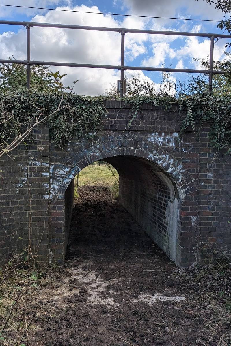
Keep exploring
Around L-Moor, Shepreth
Within 50 km · approximate straight-line distances