Between Wath and Ramsgill, Nidderdale, North Yorkshire
Gouthwaite Reservoir
Reservoir
Place photograph
6.4
Wildland
2–3 hours for the circular walk
Time
Check
Cost
Peaceful
Feel
Why it's Wildland
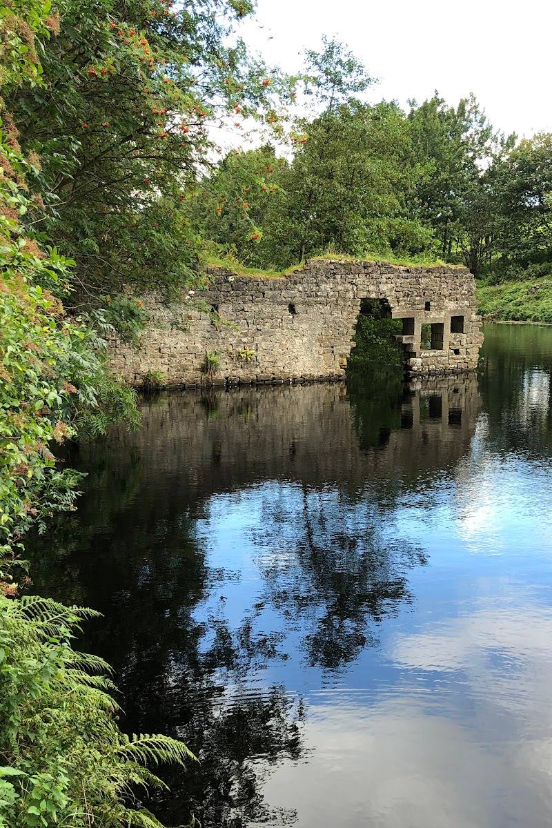
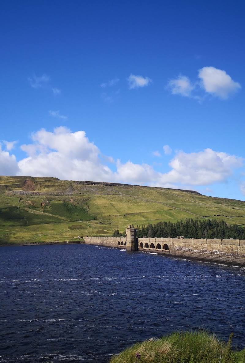
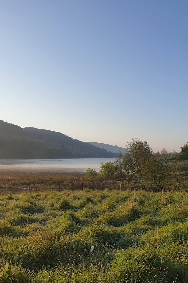
6.4Built around 1900 on the site of Gouthwaite White Hall, the reservoir now sits among the rolling hills of Nidderdale and is recognised as a nature reserve and Site of Special Scientific Interest.
The reservoir’s shoreline walk combines open water, rolling Nidderdale hills and wildlife interest, with a route that also passes Ramsgill and Wath. The full circuit is rewarding but includes road walking, including a section described as carrying fast traffic.
Peaceful · Big-sky · Wild
Find your way
Open mapBetween Wath and Ramsgill, Nidderdale, North Yorkshire
Opening map…
Know this place a little better?
The experience
Choose a short visit for a reservoir viewpoint or shoreline stroll, or allow roughly 2–2.5 hours for the 5.9-mile circuit. The full loop includes road walking; an out-and-back to the dam is described as an alternative, though it adds about 50% to the distance.
Things to do
Walk the reservoir circuit
Follow the described loop around the water, linking the shoreline with Ramsgill, the River Nidd, the dam and Wath. The route includes road walking; take care around traffic.
2–2.5 hours
Look for birds and waterfowl
The reservoir is described as a nature reserve and Site of Special Scientific Interest, with opportunities for birdwatching and spotting other wildlife.
Notice the route’s village and river connections
The circular walk passes Ramsgill, crosses the River Nidd and continues towards Wath, making the landscape more varied than a simple shoreline out-and-back.
Make a day of it
Quick escape · Under 1 hour
Quick reservoir visit
- 01
Use a current, confirmed access point and take in the reservoir views from an available public viewpoint or path.
- 02
Spend a short while watching the water and looking for birds; do not enter the water without explicit permission.
Half day · 2–2.5 hours; 5.9 miles
Walk the Gouthwaite Reservoir circuit
- 01
Start from the western-bank car park on Wath Road described by the route source; confirm the start and parking arrangements before setting out.
- 02
Follow the circular route around the reservoir, passing Ramsgill and crossing the River Nidd before continuing along the eastern bank towards the dam.
- 03
Take particular care on road sections, especially the reservoir road, which the route source warns can have fast traffic.
- 04
Consider the described out-and-back option to the dam if avoiding part of the circuit’s road walking; note that this adds approximately 50% to the distance walked.
Verified history
Gouthwaite Reservoir was built around 1900 on the site of Gouthwaite White Hall, described by the route source as an Elizabethan manor house. The same source says Gouthwaite Hall was later rebuilt and is now a Grade II listed building. The walking route also passes a 12th-century church and the 18th-century Yorke Arms in Ramsgill.
Hidden details
The reservoir replaced an Elizabethan manor site — The reservoir was built around 1900 on the site of Gouthwaite White Hall. The route source also notes that Gouthwaite Hall was later rebuilt and is Grade II listed.
The full circuit includes a traffic-sensitive stretch — The route source specifically warns that the road beside the reservoir can carry fast traffic. This is an important detail to factor into route choice and timing.
When to go
· No source-backed best time of day; choose conditions that give good visibility and allow careful navigation of road sections.
The supplied sources establish wildlife and birdwatching interest but do not identify reliable seasonal peaks.
Check the forecast and route conditions before setting out. Take particular care on road sections, especially the reservoir road, which the route source warns can have fast traffic.
The route
- ascent
- 288 ft
- stiles
- Check before visiting
- surface
- Road, fields and waterside sections; detailed surface conditions not specified
- distance
- 5.9 miles
- duration
- 2–2.5 hours
- difficulty
- Moderate
- waymarking
- Check before visiting
- route shape
- Loop
- start point
- Car park on Wath Road on the western bank, according to AllTrails; confirm the precise start before travel.
- parking start
- AllTrails describes a car park on Wath Road on the western bank. Tripadvisor mentions another car park near the northern end opposite a viewing-platform entrance. Confirm which access point suits your route and check current arrangements.
- shorter alternative
- The AllTrails description suggests an out-and-back to the dam at the eastern end, or to the pub a short distance farther; it notes this adds approximately 50% to the distance walked. It also suggests starting in Wath to use public footpaths along the reservoir and avoid road walking at the beginning.
- Reservoir shoreline
- Ramsgill and its 12th-century church
- River Nidd crossing
- Dam at the southern end
- Wath
Worth pairing with
Ramsgill
A village on the circular route, with a 12th-century church and the 18th-century Yorke Arms mentioned by the route source. Check access and current opening details independently.
Wath
The walk finishes through Wath; the route source mentions a pub there for refreshments. Check current opening and service details before visiting.
What to look for
Watch for waterfowl and other wildlife, the reservoir shoreline and the dam. On the circular walk, notice how the route moves between waterside, fields, the River Nidd and the villages of Ramsgill and Wath.
The story
Reservoir built around 1900 on the site of Gouthwaite White Hall; Ramsgill also has a 12th-century church and an 18th-century manor house, according to the route source.
Best time to go
Check conditions before setting out; route sources describe wildlife and birdwatching interest but do not establish a specific peak season.
Choose a clear, calm period for the reservoir views and allow extra care on the road sections. No source establishes a best time of day.
How long to spend
2–3 hours for the circular walk
Perfect for
Walkers · Wildlife lovers · Photographers
Before you go
Address
Google rating
Practical information
Opening & access
A reservoir and nature reserve with a circular walking route described by route sources. Check current access and local signage before visiting.
Check before visiting
Parking
A Tripadvisor review mentions a car park near the reservoir’s northern end, opposite a viewing-platform entrance. The AllTrails route starts from a car park on Wath Road on the western bank. Check current parking arrangements before travel.
Check before visiting
Toilets
Check before visiting
Check before visiting
Food & drink
The route description mentions a pub in Wath and the Yorke Arms in Ramsgill; check current opening and service details before visiting.
Check before visiting
Dogs
Check before visiting
Check before visiting
Accessibility
The circular walk is described as moderate and includes road walking, fields and waterside sections. Check route conditions and suitability before setting out.
Check before visiting
Cost
Check before visiting
Check before visiting
Water
Reservoir
Gallery
Place photographs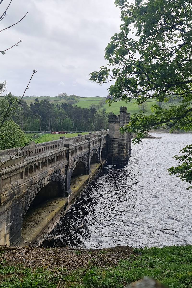
Keep exploring
Around Gouthwaite Reservoir
Within 50 km · approximate straight-line distances
 Place photograph5.4
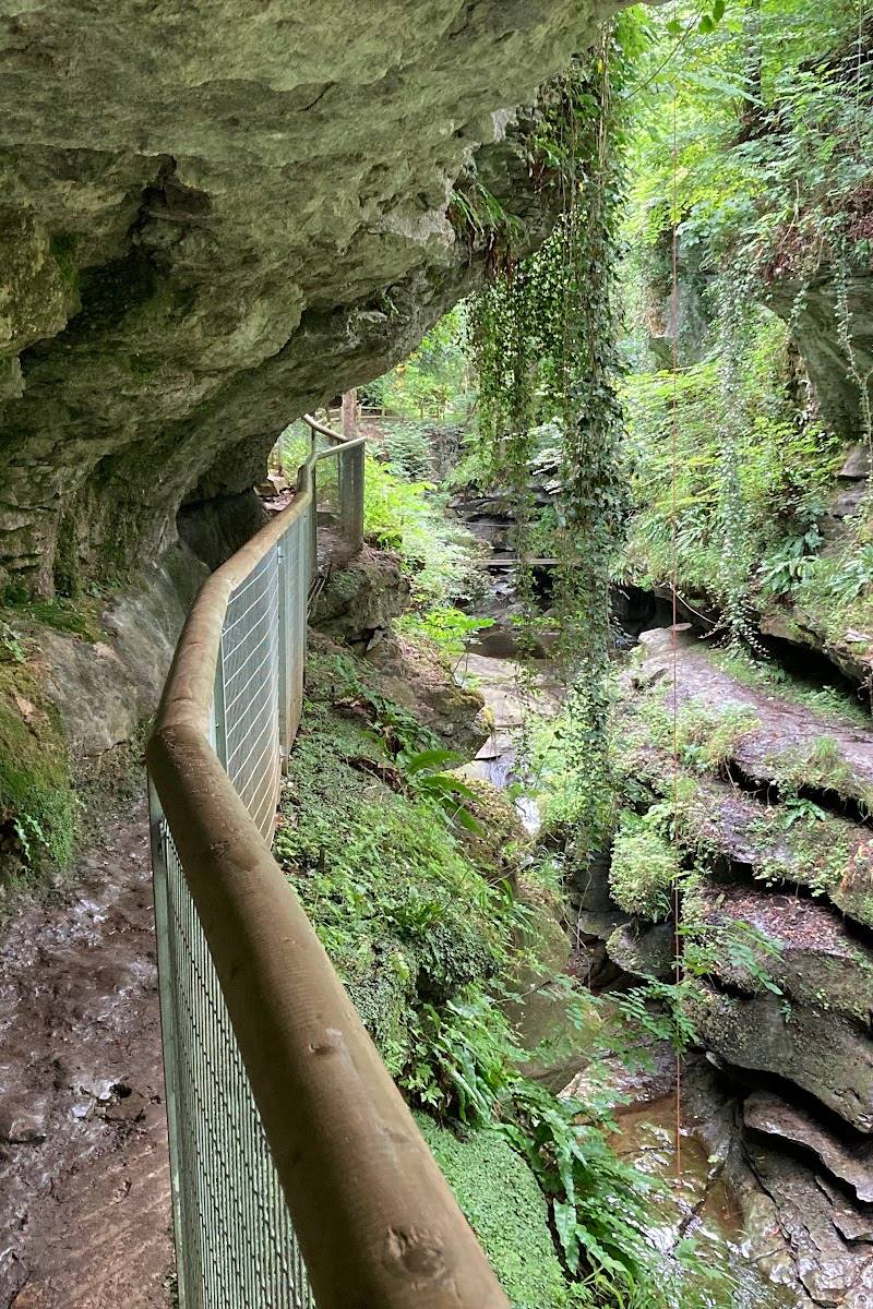
How Stean Gorge
Lofthouse, near Pateley Bridge, North Yorkshire HG3 5SF
6.8 km away
 Place photograph8.1
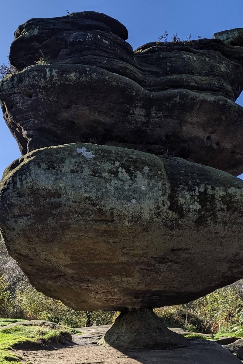
Brimham Rocks
Brimham Moor Road, Summerbridge, Harrogate, North Yorkshire, HG3 4DW
8.4 km away