7.0
Wildland
Half day
Time
Check
Cost
Peaceful
Feel
Why it's Wildland
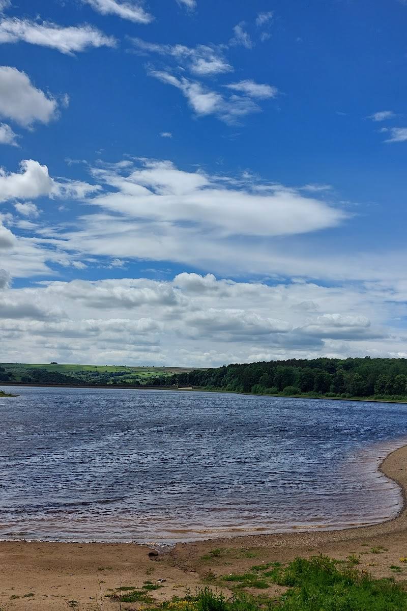
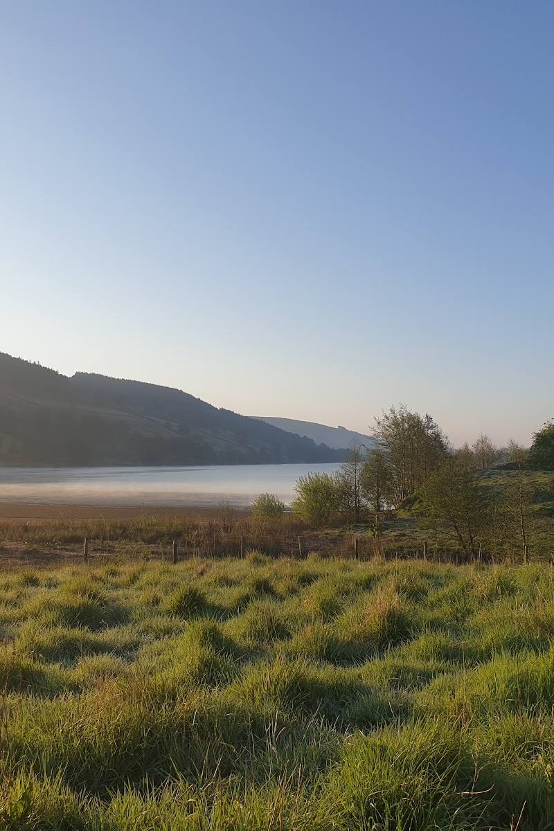
7.0A reservoir walk with a historical twist: when water levels fall, remains of the former West End settlement may become visible.
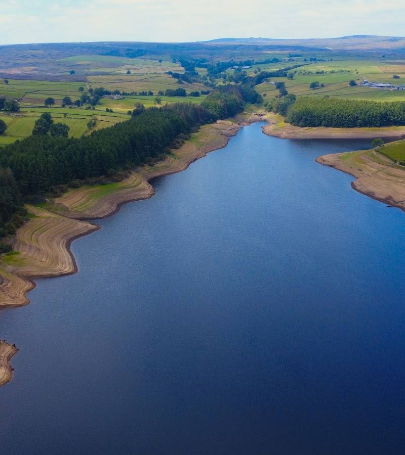
This is more than a waterside stroll: the reservoir’s reported circular walk moves through varied scenery, while the submerged landscape and West End remains give the valley a sense of history that changes with the water level.
Peaceful · Big-sky · Atmospheric
Find your way
Open mapNear Harrogate, North Yorkshire
Opening map…
Know this place a little better?
The experience
Allow time for the reported 4.5-mile reservoir circuit, taking in the changing views and looking out for the remains associated with West End when visible. The route is described as hilly and sometimes muddy. Do not approach submerged remains; check current guidance and route conditions before setting out.
Things to do
Walk a section of the reservoir path
Take in the reservoir and surrounding scenery on a shorter out-and-back. The complete reported circuit is 4.5 miles, so choose a turning point that suits your time and conditions.
1–2 hours
Walk the reported reservoir circuit
A 4.5-mile circuit is reported around the reservoir. Visitor descriptions mention steep climbs and muddy sections; check for current diversions before setting out.
Check before visiting
Make a day of it
Quick escape · 1–2 hours
Quick reservoir escape
- 01
Start from the reservoir’s reported parking area, after checking current access and conditions.
- 02
Walk a short section of the reservoir path and pause for the water and valley views.
- 03
Turn back when you have had enough; do not treat this as the full circuit.
Half day · Half day
The reservoir circuit
- 01
Check current route conditions and diversions before setting off.
- 02
Follow the reported circular walking path around the reservoir, allowing time for steep and potentially muddy sections.
- 03
Look for views of the reservoir and, if water levels are low, visible traces of the former West End settlement from a safe distance.
Verified history
The supplied sources identify the remains of West End as a lost settlement associated with the reservoir. A visitor review reports that parts of the old village can be seen when water levels are low. The sources provided do not establish a reliable date or detailed account of the settlement’s history.
When to go
· Check current weather and path conditions before visiting; no evidence establishes a best time of day.
Water levels affect whether traces of the former landscape are visible. The supplied sources do not establish reliable seasonal timing.
Visitor accounts describe muddy paths and steep climbs. Check the forecast and current route conditions.
The route
- surface
- Can be muddy; other surface details are not established.
- distance
- 4.5 miles, as stated in the source row
- difficulty
- Steep climbs are reported; visitor accounts also describe the walk as tough and muddy.
- route shape
- Circular, according to the source row
- start point
- Check before visiting
- parking start
- A visitor review reports ample free parking; verify current arrangements and the route start.
- shorter alternative
- Walk a suitable section out and back, turning around when appropriate; no verified shorter circuit is supplied.
- Reservoir views
- Varied scenery
- Possible views of remains associated with West End when water levels are low
What to look for
- 01
When water levels are low, look from a safe distance for visible traces of the former West End settlement. The supplied material also mentions a ruined mill and other remains around the reservoir
- 02
do not approach submerged remains.
The story
Lost village; archaeology
Best time to go
Check current path conditions before visiting; seasonal access or conditions are not established by the available sources.
Water levels can affect whether remnants of the former landscape are visible. Check current conditions before travelling.
How long to spend
Half day
Perfect for
Walkers · Photographers · History lovers
Before you go
Address
Google rating
Practical information
Opening & access
A reservoir with a reported 4.5-mile walking path. Check current access, route conditions and any diversions before setting out.
Check before visiting
Parking
A visitor review reports ample free parking; verify availability and current arrangements before travelling.
Check before visiting
Toilets
Check before visiting
Check before visiting
Food & drink
Check before visiting
Check before visiting
Dogs
Check before visiting
Check before visiting
Accessibility
The reported circular route includes steep climbs and can be muddy; suitability depends on current path conditions. Check before visiting.
Check before visiting
Cost
Check before visiting
Check before visiting
Water
Reservoir
Gallery
Place photographs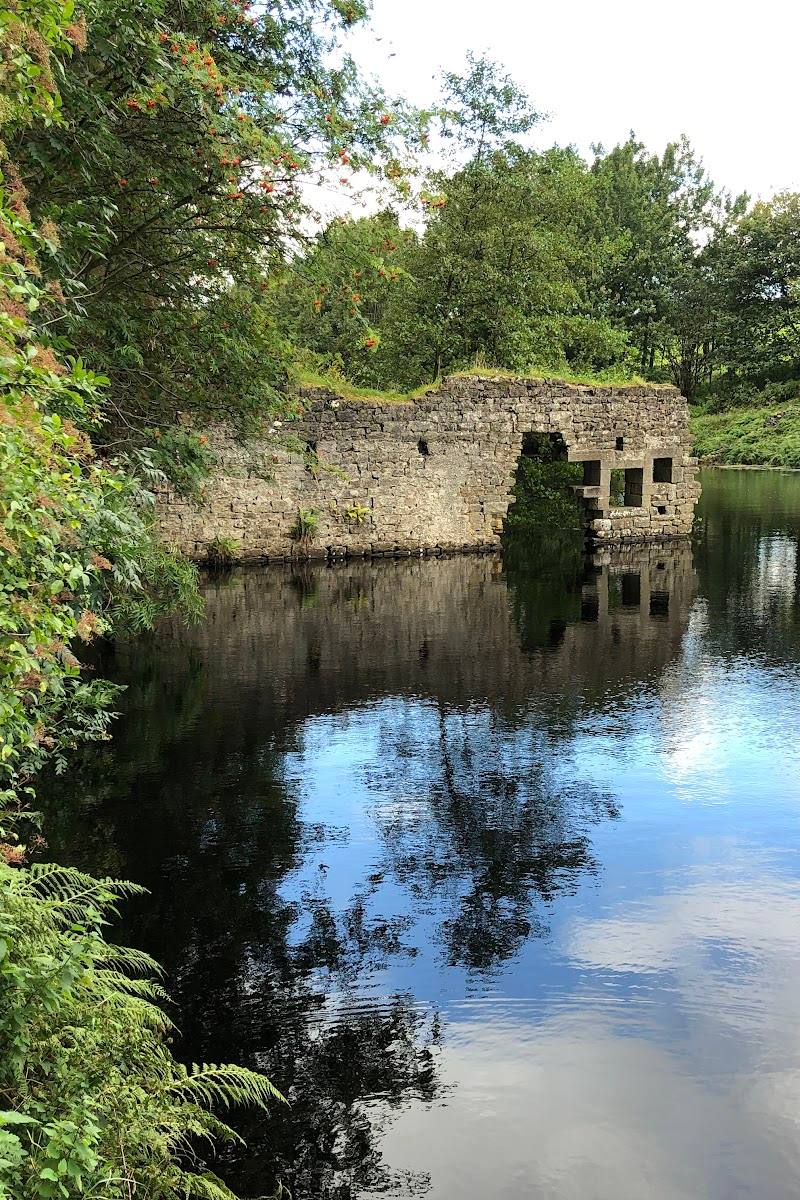
Keep exploring
Around Thruscross Reservoir
Within 50 km · approximate straight-line distances