Near Grewelthorpe, Ripon, North Yorkshire
Hackfall
Ancient woodland
Place photograph
7.5
Wildland
1–2 hours
Time
Check
Cost
Atmospheric
Feel
Why it's Wildland
7.5An 18th-century landscape garden threaded through a steep woodland gorge, where the Aislabie family placed follies and water features to draw attention to views of the River Ure and the surrounding valley.
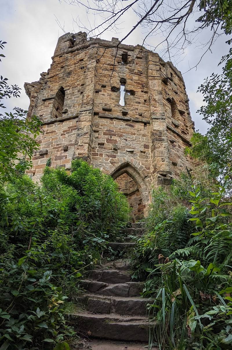
Hackfall is more than a woodland walk: its steep gorge, cascading water and scattered follies make the landscape feel deliberately theatrical. The combination of natural woodland and designed 18th-century features gives visitors plenty to notice along the paths.
Atmospheric · Secluded · Ancient-feeling
Find your way
Open mapNear Grewelthorpe, Ripon, North Yorkshire
Opening map…
Know this place a little better?
The experience
Allow around 1–2 hours for a woodland walk among the follies and water features. Paths are interlinked, and muddy conditions are reported; choose a route to suit the weather and your footing.
Things to do
Follow the paths to the follies
Explore the interlinked woodland paths and look for the ornamental ruins and grottoes associated with the Aislabie-designed landscape.
Look for cascades and water features
The woodland’s streams, waterfalls and ponds are among the features described in the supplied attraction information.
Find the Limehouse Hill viewpoint
Limehouse Hill is named in the supplied video transcript as a viewpoint reached from the car park; verify the route and current access locally.
Make a day of it
Quick escape · About 1 hour
Quick Escape: follies and cascades
- 01
Choose a short route through the woodland paths.
- 02
Look out for the cascades and ornamental follies.
- 03
Allow extra time if paths are muddy.
Half day · Half day
Make a Half Day of It: woodland, river and designed views
- 01
Explore the interlinked woodland paths and follies.
- 02
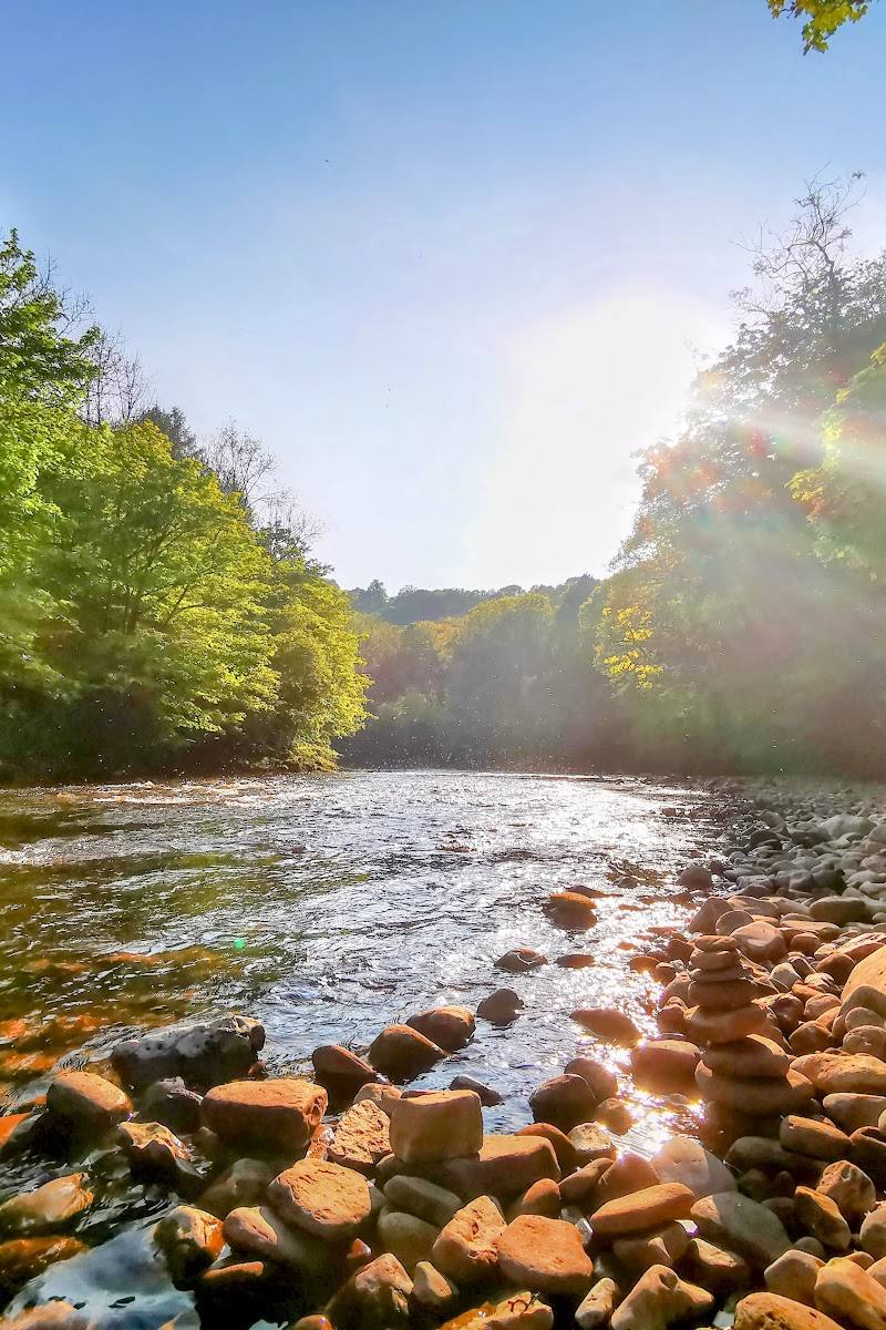
Include a riverside section beside the River Ure if the route and conditions suit.
- 03
Pause at a viewpoint and take time to notice how the garden features frame the valley.
Verified history
The supplied sources describe Hackfall as an 18th-century landscaped woodland created by the Aislabie family, with follies and water features arranged to complement its views. The video transcript identifies the Aislabies’ connection with nearby Studley Royal and describes Hackfall as a natural-style garden. It also says the site was threatened by commercial development before conservation organisations worked to protect and restore it. The transcript reports that the Woodland Trust acquired the site on a 999-year lease; verify this historical detail against an authoritative conservation source.
Hidden details
The landscape was designed to frame views — The supplied video describes the follies as features placed to emphasise views through the woodland landscape.
Limehouse Hill and the Banqueting House — Both are named in the supplied video as features associated with Hackfall; the Banqueting House overlooking the woods is described there as a Landmark Trust property.
When to go
April · May · No source-backed time-of-day recommendation is available.
Bluebells are mentioned among the site’s seasonal attractions, but the supplied sources do not establish their peak dates.
Muddy paths are reported. Check conditions before visiting.
Worth pairing with
Studley Royal and Fountains Abbey
The supplied video notes the Aislabie family’s connection between Hackfall and the landscape gardening at Studley Royal. Check current access and visit details separately.
What to look for
Look for the woodland’s follies and grottoes, cascades, ponds and views across the valley. Limehouse Hill and the Banqueting House are named features in the supplied sources.
The story
18th-century landscape gardening and follies
Best time to go
Spring for bluebells; check conditions before setting out, as paths can be muddy.
Spring is noted for bluebells. An early visit may offer a quieter walk, but no specific quiet-time evidence is available.
How long to spend
1–2 hours
Perfect for
Walkers · Photographers · History lovers · Wildlife lovers
Before you go
Address
Google rating
Practical information
Opening & access
Woodland paths lead through the site; check current access and path conditions before visiting.
Check before visiting
Parking
Check before visiting.
Check before visiting
Toilets
Check before visiting.
Check before visiting
Food & drink
Check before visiting.
Check before visiting
Dogs
Check before visiting.
Check before visiting
Accessibility
Paths are described as running through steep woodland; muddy conditions are reported. Check current path conditions and accessibility before visiting.
Check before visiting
Cost
Check before visiting
Check before visiting
Water
River, streams, waterfalls and ponds are described at the site. Swimming or paddling permission is not established.
Gallery
Place photographs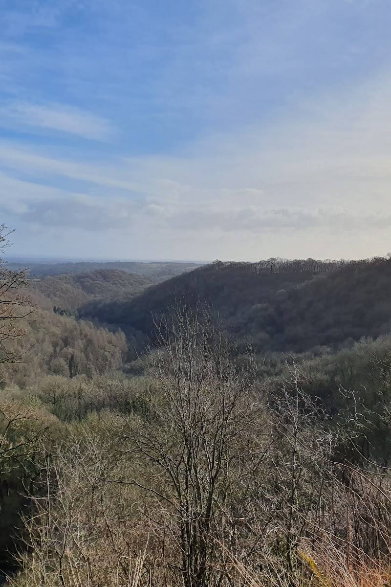
Keep exploring
Around Hackfall
Within 50 km · approximate straight-line distances
Brimham Rocks
Brimham Moor Road, Summerbridge, Harrogate, North Yorkshire, HG3 4DW
12.7 km away
 Place photograph5.4
How Stean Gorge
Lofthouse, near Pateley Bridge, North Yorkshire HG3 5SF
14.5 km away