Upper Nidderdale, near Lofthouse, North Yorkshire
Scar House Reservoir
Reservoir
Place photograph
8.1
Wildland
1–2 hours for a shorter visit
Time
Check
Cost
Dramatic
Feel
Why it's Wildland
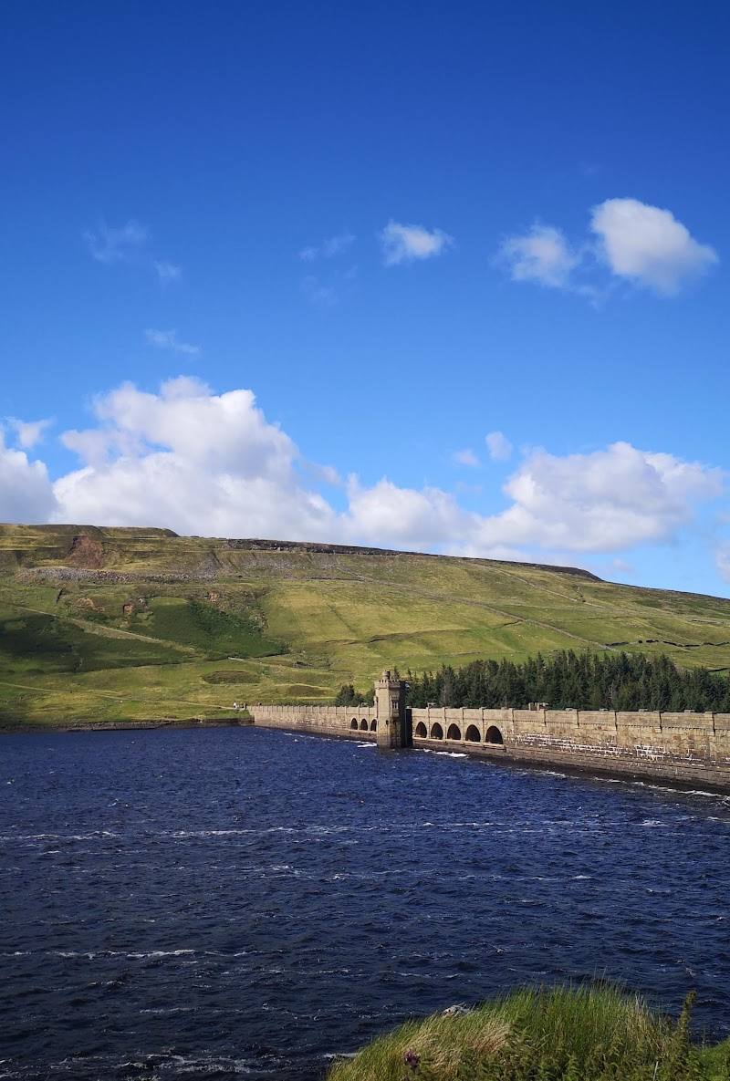
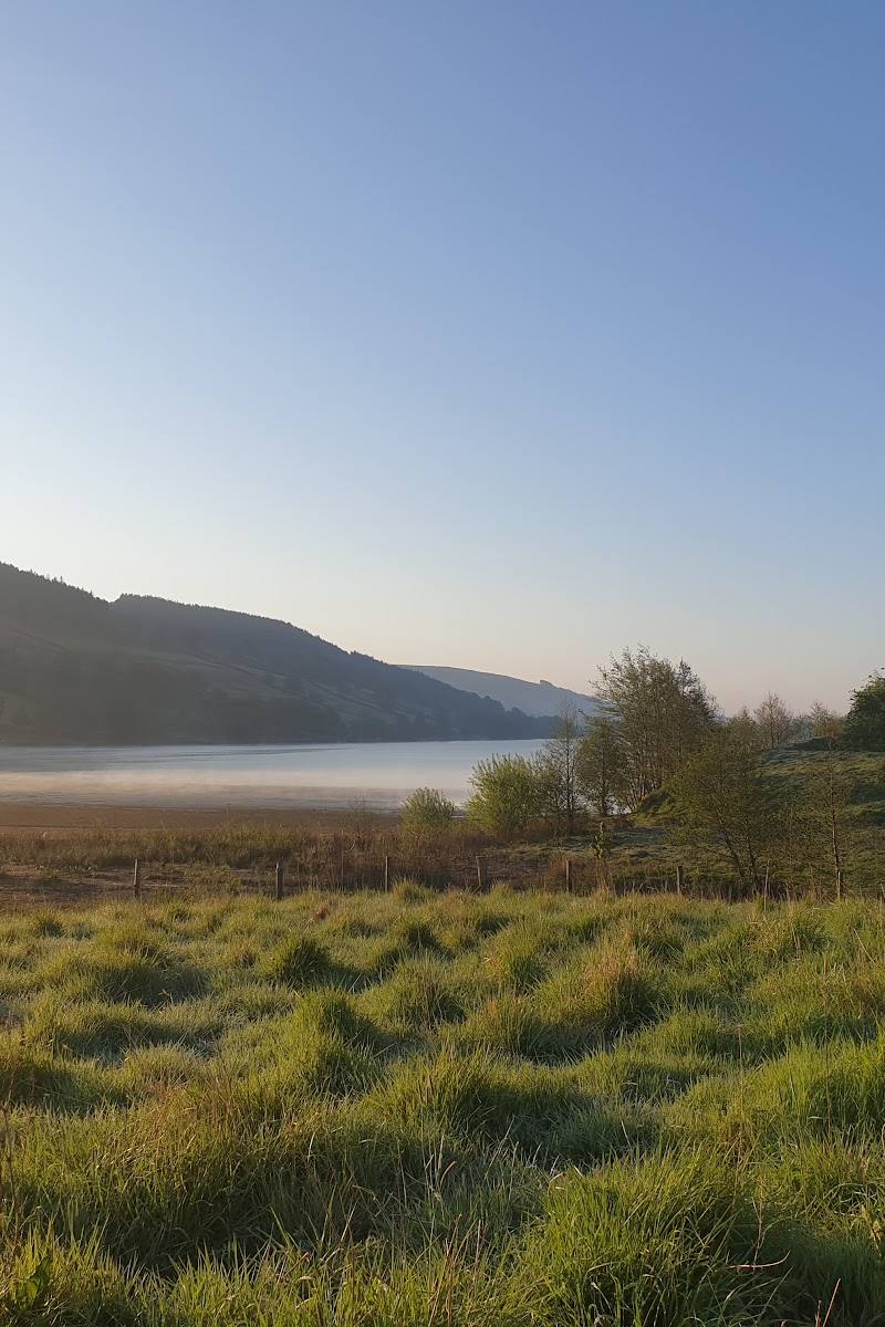
8.1A vast stone dam and the traces of a vanished village give this remote-feeling upland reservoir a story beyond its broad water and moorland setting.
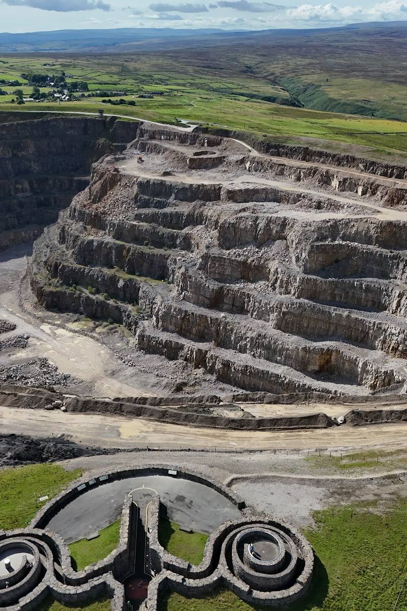
Scar House earns its place for the meeting of monumental reservoir architecture, open Nidderdale moorland and visible remains of the village that once housed the dam’s builders. The circular reservoir walk brings those elements together in one outing.
Dramatic · Peaceful · Remote
Find your way
Open mapUpper Nidderdale, near Lofthouse, North Yorkshire
Opening map…
Know this place a little better?
The experience
Walk the reservoir circuit for the dam, broad upland views and evidence of the former village. The shorter visit can focus on the dam and a section of the reservoir; the full 4-mile circuit is the stronger outing. This is an exposed upland setting, so check conditions before setting out.
Things to do
Walk the Scar House circuit
Yorkshire Water lists a 4-mile Scar House walk. Consult its route information before setting out.
4 miles; duration not stated
Examine the dam’s stonework
Take in the scale and intricate masonry of the dam, described by Yorkshire Water as containing over one million tonnes of stone.
Look for traces of the former village
Yorkshire Water says evidence of the village, once home to 1,250 people, can be seen to the left of the road when approaching Scar House.
Watch the surrounding moorland
The moorland supports birds including curlew, black grouse and hen harrier; sightings are not guaranteed.
Make a day of it
Quick escape · About 1–2 hours; check locally
Dam and reservoir first look
- 01
Start from the reservoir visitor area and take in the dam and its stonework.
- 02
Walk a section of the reservoir-side route, turning back when time or conditions require.
- 03
Look for traces of the former village on the approach.
Half day · 4 miles; duration not stated by Yorkshire Water
Walk the Scar House circuit
- 01
Use the Scar House walk listed by Yorkshire Water as the basis for the outing.
- 02
Take time at the dam and reservoir edges for the architecture and upland views.
- 03
Check the route and current conditions before setting out.
Verified history
Scar House Reservoir sits below Little Whernside in Upper Nidderdale. Yorkshire Water reports that the village associated with its construction once had 1,250 residents, with evidence of the settlement still visible near the approach. The supplied Tripadvisor excerpt says work began in 1921 and the dam was completed in 1936; those dates are supported there but not repeated in the supplied Yorkshire Water excerpt.
Hidden details
The builders’ village traces — Look to the left of the road on the approach for evidence of the former village, once home to 1,250 people.
Moorland bird habitat — The surrounding moorland is described as supporting curlew, black grouse and hen harriers; much of it is designated a Site of Special Scientific Interest.
When to go
· Choose a clear, settled period for views; no specific time of day is established by the supplied sources.
The supplied sources do not identify a best season. The moorland setting is exposed, so conditions may shape the experience.
Upland weather can affect comfort and walking conditions. Check the forecast and route conditions before visiting.
The route
- distance
- 4 miles
- difficulty
- Yorkshire Water rates the listed walk 3 out of 4; the meaning of this scale is not specified in the supplied excerpt.
- route shape
- Not specified in the supplied Yorkshire Water excerpt
- start point
- Scar House Reservoir; exact start point not specified in the supplied excerpt
- parking start
- Yorkshire Water lists parking and disabled parking at the reservoir; check current arrangements.
- shorter alternative
- Walk a section of the reservoir-side route and return; no formal shorter route is described in the supplied source.
- Scar House Reservoir
- The dam and its stonework
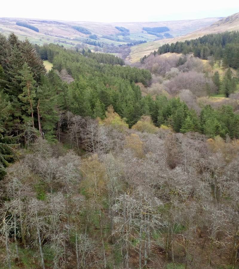
- Surrounding moorland
What to look for
- 01
The scale and detailed stonework of the dam
- 02
traces of the former village near the approach
- 03
and the contrast between the reservoir and the surrounding moorland.
The story
Reservoir engineering and the remains of a former builders’ village
Best time to go
Check current conditions; the surrounding moorland and reservoir offer an open, weather-exposed walk in every season.
Choose a clear, settled day for open views across the reservoir and moorland. Check weather and path conditions before travelling.
How long to spend
1–2 hours for a shorter visit; allow longer for the 4-mile circuit
Perfect for
Walkers · Photographers · History lovers · Wildlife lovers
Before you go
Address
Google rating
Practical information
Opening & access
Yorkshire Water lists Scar House Reservoir as a place to visit and provides a 4-mile reservoir walk. Check current access and conditions before travelling.
Check before visiting
Parking
Yorkshire Water lists parking, including disabled parking. Check current arrangements before visiting.
Check before visiting
Toilets
Yorkshire Water lists toilets and a disabled toilet; check availability before travelling.
Check before visiting
Food & drink
Check before visiting.
Check before visiting
Dogs
The source row describes tracks as dog-friendly; check current Yorkshire Water guidance and signage before visiting.
Check before visiting
Accessibility
Yorkshire Water lists disabled parking and a disabled toilet. Path accessibility and suitability of the reservoir walk are not established by the supplied evidence; check before visiting.
Check before visiting
Cost
Check before visiting
Check before visiting
Water
Reservoir
Gallery
Place photographs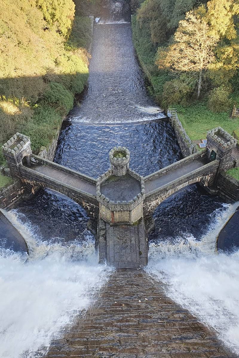
Keep exploring
Around Scar House Reservoir
Within 50 km · approximate straight-line distances
 Place photograph5.4
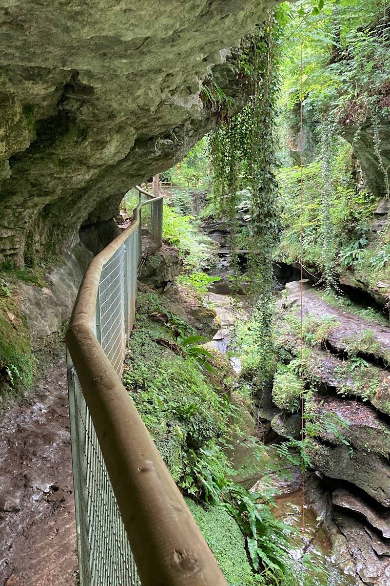
How Stean Gorge
Lofthouse, near Pateley Bridge, North Yorkshire HG3 5SF
5.0 km away
 Place photograph6.4
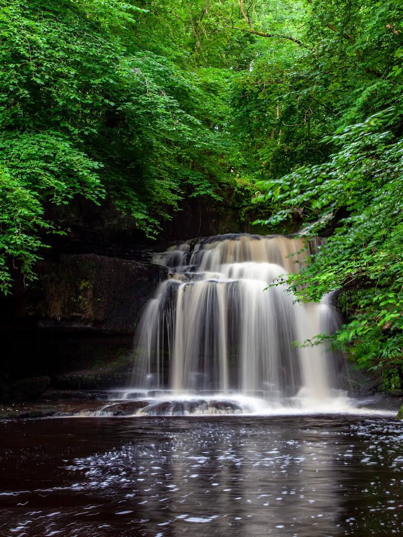
Gouthwaite Reservoir
Between Wath and Ramsgill, Nidderdale, North Yorkshire
11.8 km away