6.1
Wildland
1–2 hours for a riverside walk
Time
Check
Cost
Atmospheric
Feel
Why it's Wildland
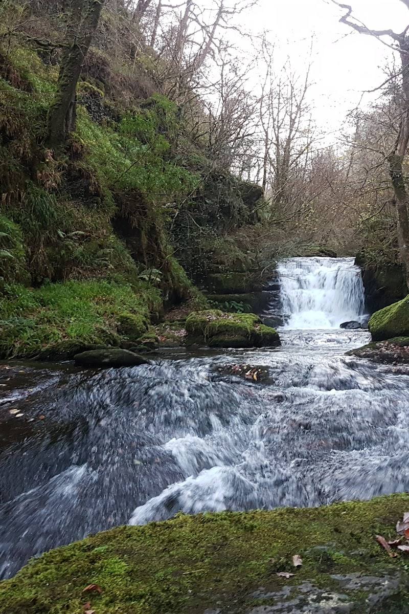
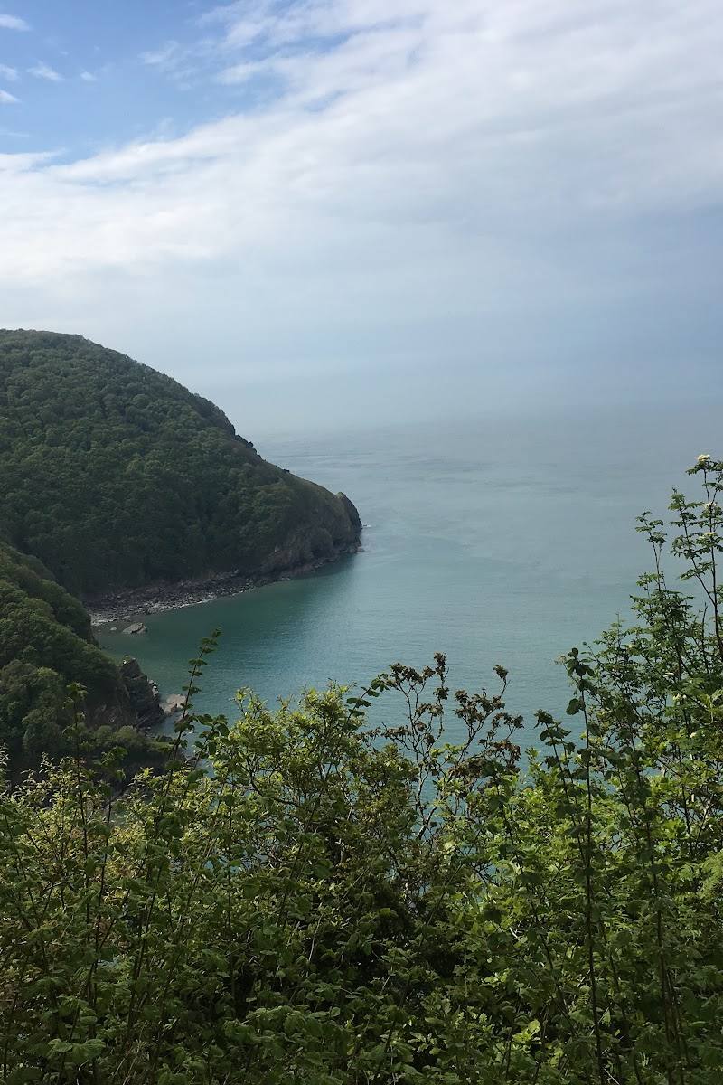
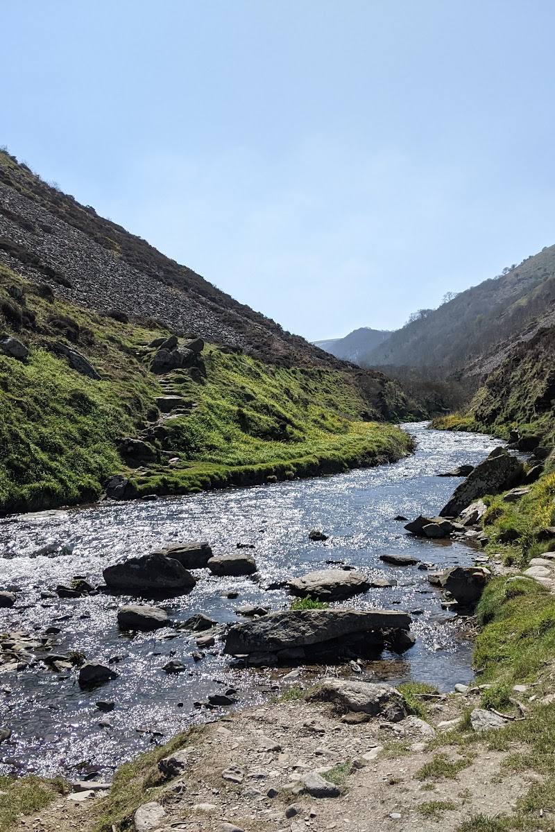
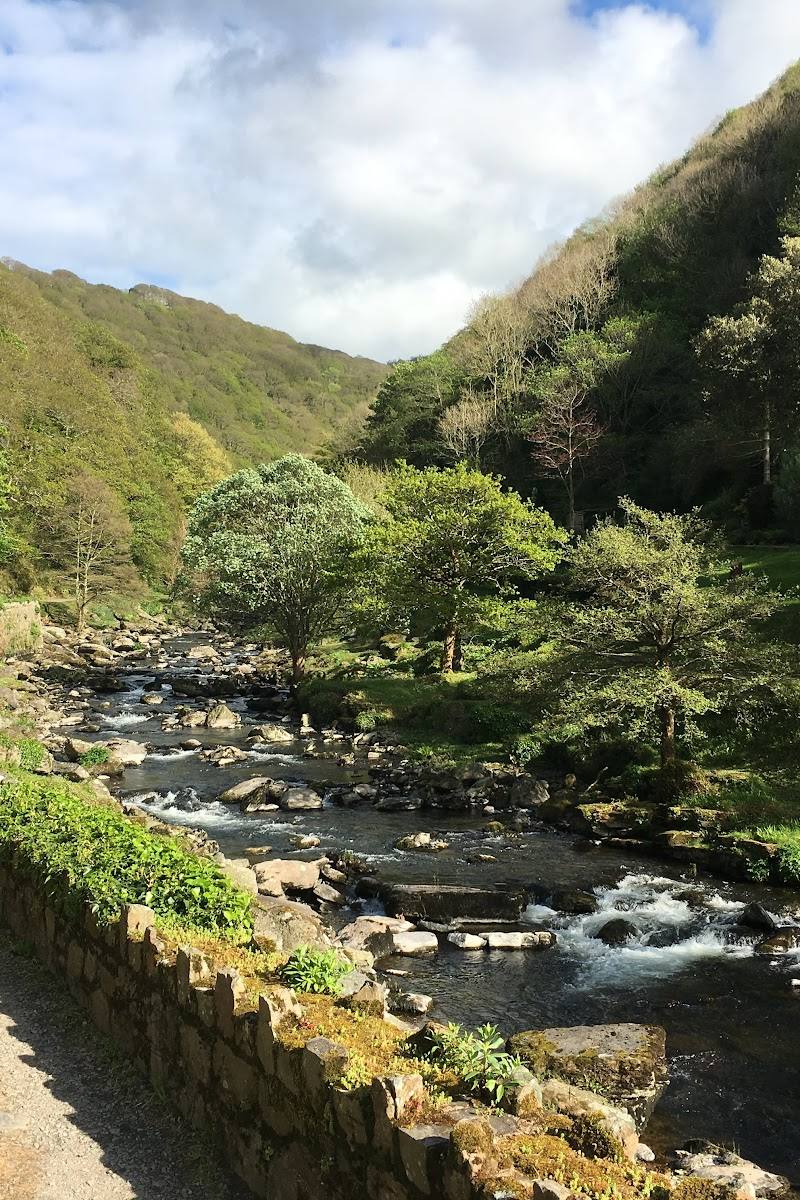
6.1From Exmoor’s uplands, the East Lyn runs downhill to Lynmouth, meeting the West Lyn by the harbour before reaching the sea. Its waterside paths lead into the landscape associated with Lorna Doone; at the village, protective river walls bear witness to the devastating 1952 flood.
The East Lyn combines a dramatic river setting with a walk that leads from Lynmouth towards the wooded interior at Watersmeet. Its course also carries a sobering human story: the flood of 1952 reshaped the village and left its mark in the river defences.
Atmospheric · Wild
Find your way
Open mapLynmouth, Exmoor, Devon
Opening map…
Know this place a little better?
The experience
See the East Lyn at its mouth in Lynmouth, then follow the riverside path towards Watersmeet if current access and conditions allow. In the village, the Flood Memorial Hall is described by a supplied visitor source as a place to learn about the 1952 disaster; verify current opening information before planning a visit.
Things to do
See the river meet the sea
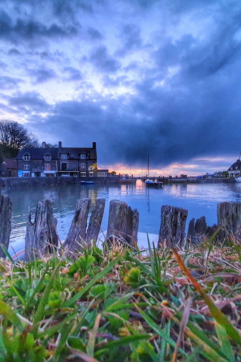
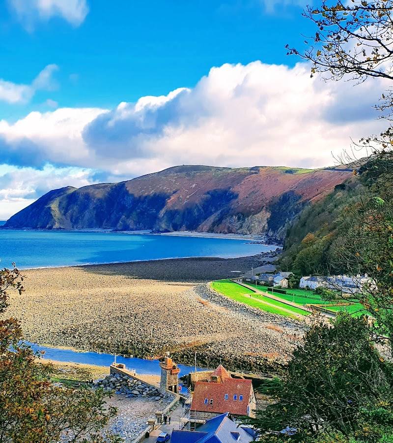
Visit the East Lyn’s mouth at Lynmouth, where the river joins the West Lyn, runs beside the harbour and flows out to sea.
Under 1 hour
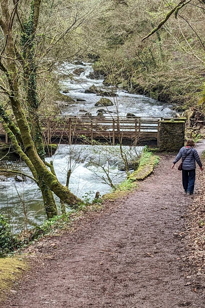
Walk beside the East Lyn towards Watersmeet
Follow the river upstream from Lynmouth towards Watersmeet. Confirm the route, access and current conditions before setting off.
Look at Lynmouth’s river defences
Along the riverbank in Lynmouth, notice the high protective walls built following the devastating 1952 flood.
Make a day of it
Quick escape · Under 1 hour
A riverside glimpse in Lynmouth
- 01
See the East Lyn where it joins the West Lyn beside Lynmouth harbour.
- 02
Walk along the riverbank and look for the high protective walls built after the 1952 flood.
Half day · Check route length and conditions before setting out
Follow the river towards Watersmeet
- 01
Start in Lynmouth and follow the riverside path upstream towards Watersmeet.
- 02
Retrace your route or arrange a suitable return plan; route distance and conditions are not specified in the supplied sources.
Verified history
In 1952, the East and West Lyn rivers broke their banks. Floodwaters swept through Lynmouth, destroying more than 100 buildings and homes and killing 34 people. The high protective walls along the river are a visible reminder of the disaster. A supplied visitor account also describes a Flood Memorial Hall in the village, with photographs, video and a scale diorama; check current access before visiting.
Folklore & legend
The supplied source places the river in the landscape known as Lorna Doone country. It does not provide a specific local legend about the river; the connection should not be treated as evidence of a historical event.
Hidden details
The flood defences tell part of the story — Look for the high protective walls beside the river in Lynmouth. They were built after the 1952 flood, linking the present-day riverside to one of the village’s most consequential events.
When to go
· No specific time of day is supported by the supplied sources; check conditions before visiting.
Visit Exmoor describes the riverside path as appealing in any season and specifically notes autumn colour.
Check local weather and river or path conditions before walking. The supplied sources do not provide detailed safety or seasonal access guidance.
Worth pairing with
Flood Memorial Hall, Lynmouth
A supplied visitor account describes displays of photographs, video and a scale diorama about the 1952 flood. Confirm opening and access before planning a visit.
What to look for
At Lynmouth, notice the high protective walls built along the river after the 1952 flood. Follow the river’s course towards its meeting with the West Lyn and, if continuing upstream, towards Watersmeet.
The story
Folklore & legend
Best time to go
Autumn is highlighted for colour along the riverside path; the supplied source describes the walk as appealing in any season.
Autumn for the colours along the riverside path, as noted by Visit Exmoor. The supplied material gives no specific time of day; check conditions before setting off.
How long to spend
1–2 hours for a riverside walk; longer if continuing towards Watersmeet. Check route details before visiting.
Perfect for
Walkers · Photographers · History lovers
Before you go
Google rating
Practical information
Opening & access
The river reaches Lynmouth, where it joins the West Lyn beside the harbour. A riverside walk towards Watersmeet is described in the supplied sources; check current route conditions and access before setting out. Access arrangements are unconfirmed. Check before visiting; do not enter private land or restricted structures.
Check before visiting
Parking
Check before visiting.
Check before visiting
Toilets
Check before visiting.
Check before visiting
Food & drink
Check before visiting.
Check before visiting
Dogs
Check before visiting.
Check before visiting
Accessibility
Route surfaces, gradients and step-free access are not confirmed in the supplied sources. Check before visiting.
Check before visiting
Cost
Check before visiting
Check before visiting
Water
River, Sea
Gallery
Place photographs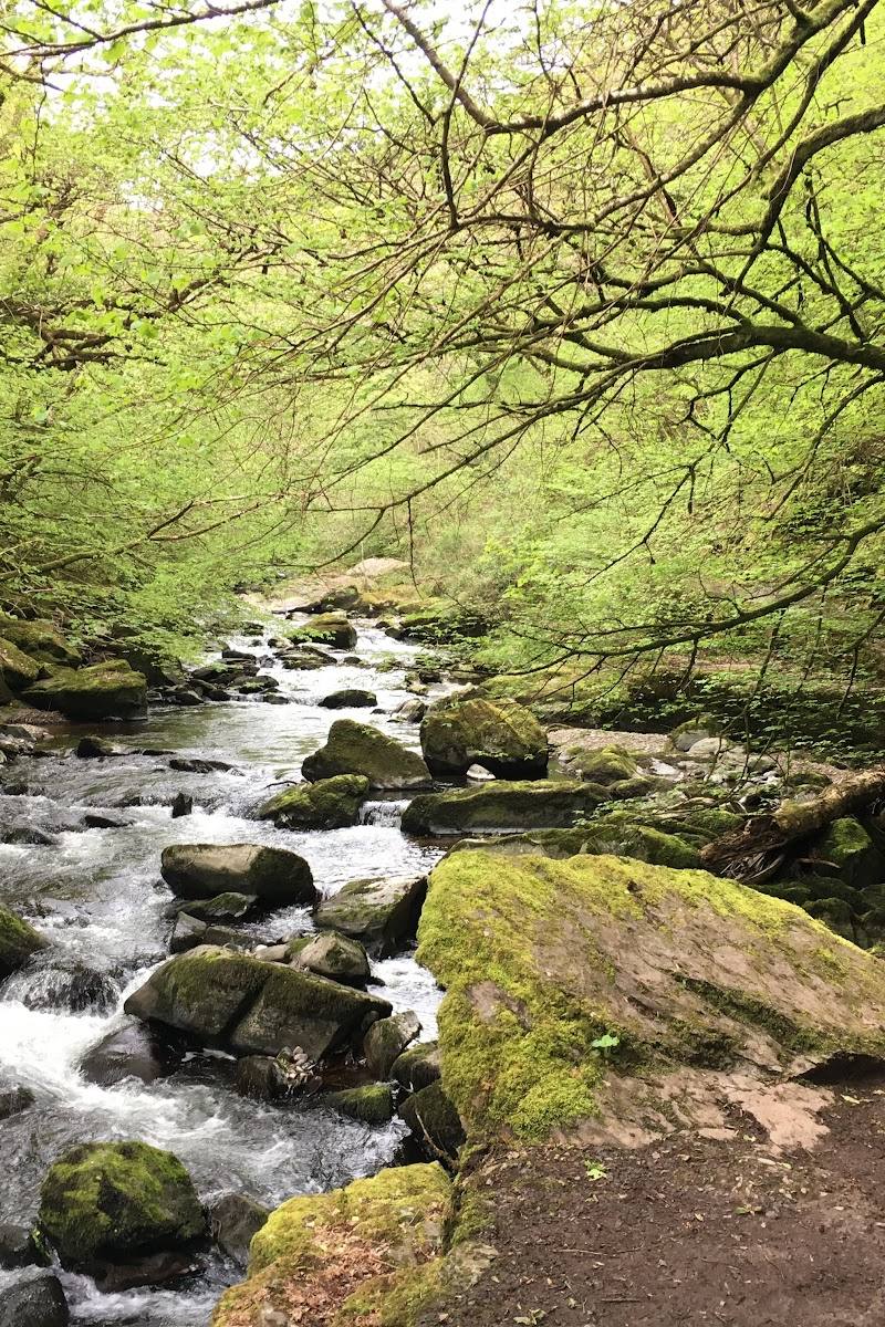
Keep exploring
Around East Lyn River
Within 50 km · approximate straight-line distances