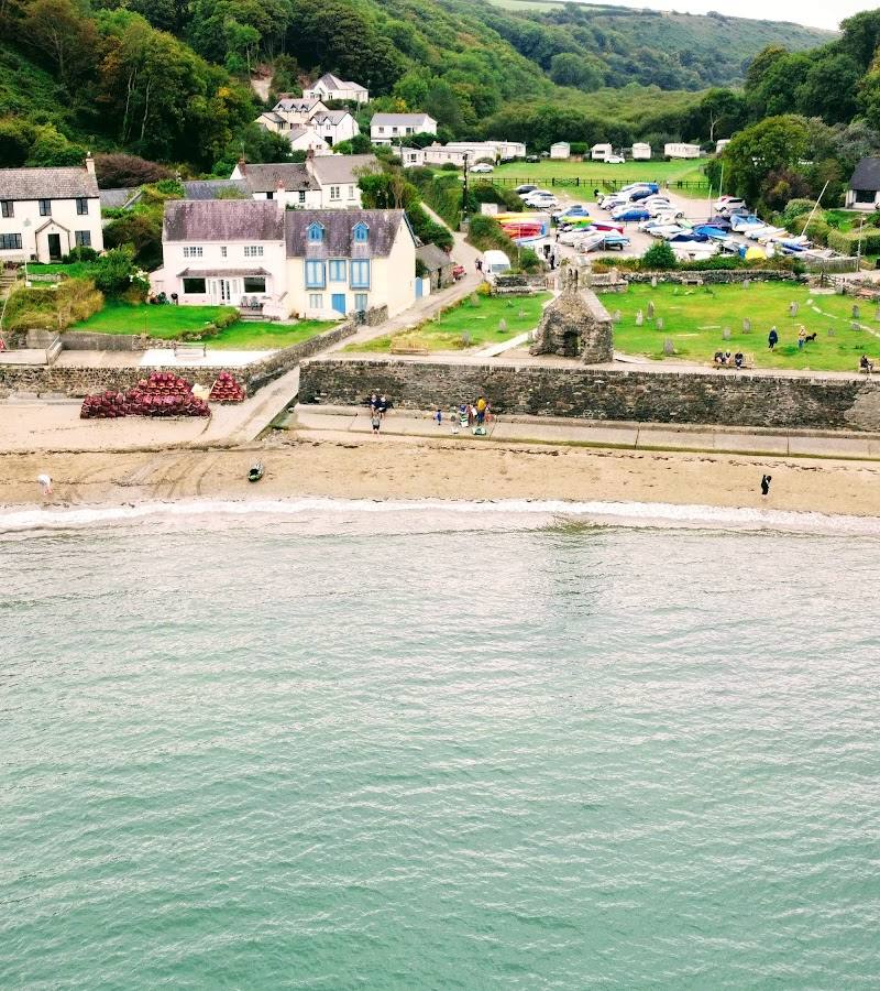
Cwm-yr-Eglwys, near Dinas Cross and Newport, Pembrokeshire
Cwm-yr-Eglwys
Beach
Place photograph
6.8
Wildland
1–2 hours
Time
Check
Cost
Atmospheric
Feel
Why it's Wildland
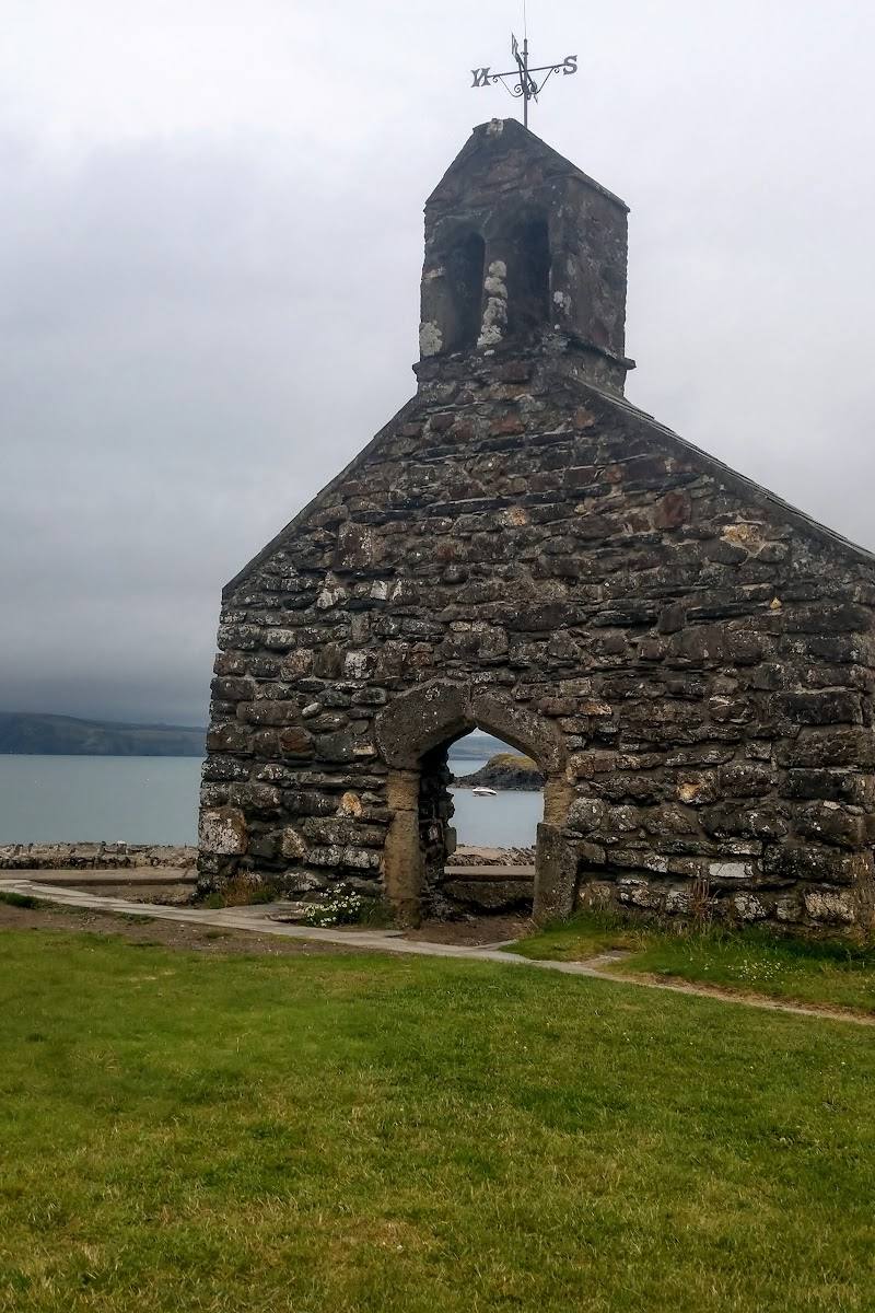
6.8At this Pembrokeshire cove, the west wall of St Brynach’s Church is all that remains after an October 1859 storm destroyed the building.
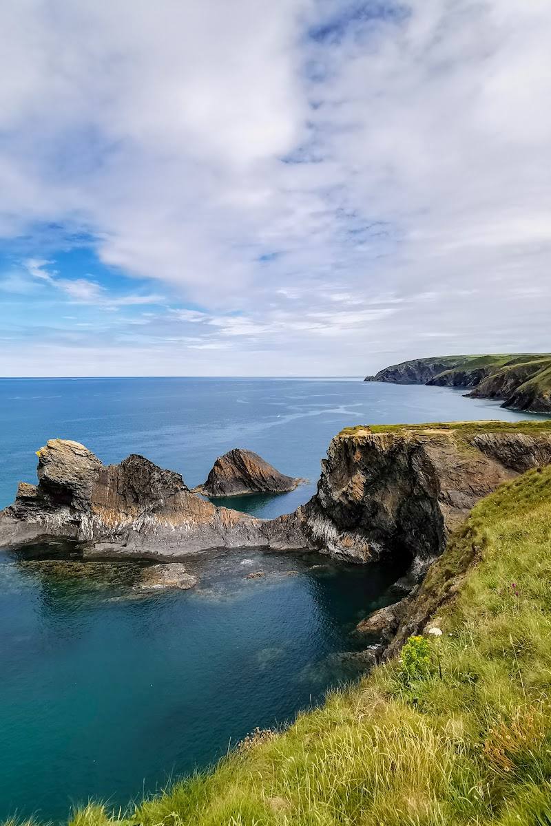
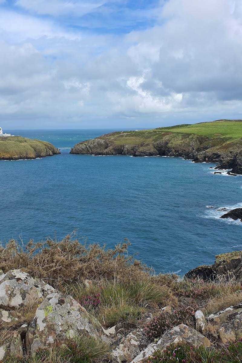
The appeal is the meeting of cove, wooded valley and church ruin: a compact coastal place with a story you can read directly in the surviving west wall. The level path to Pwllgwaelod makes it possible to explore beyond the beach without taking the higher peninsula route.
Atmospheric · Peaceful
Find your way
Open mapCwm-yr-Eglwys, near Dinas Cross and Newport, Pembrokeshire
Opening map…
Know this place a little better?
The experience
Allow an hour or two to explore the cove and church ruin, then follow the level valley path to Pwllgwaelod and back. For a longer outing, a sourced circular route continues to Aberfforest Beach and Aberfforest Waterfall.
Things to do
Explore Cwm-yr-Eglwys beach
Spend time at the cove’s beach, described as a mix of sand, shingle and pebbles. Check tide conditions before visiting.
About 1 hour
See the ruin of St Brynach’s Church
Look for the surviving west wall and graveyard above the beach. The church was destroyed in a violent storm in October 1859.
Walk the wooded valley path to Pwllgwaelod
Follow the National Park’s level, purpose-made path between the two coves through a wooded valley.
1.3 miles (2 km) for the route
Walk the Aberfforest circular
A reported loop from Cwm-yr-Eglwys car park goes along the coastal path to Aberfforest Beach and Aberfforest Waterfall, returning through woodland and farmland. The route source notes rough sections and advises appropriate footwear.
1–1.5 hours
Make a day of it
Quick escape · About 1 hour
Quick escape: cove and church ruin
- 01
Explore the beach and cove.
- 02
Visit the surviving west wall of St Brynach’s Church and the graveyard above the beach.
- 03
Check tide and conditions before walking close to the water.
Half day · Allow a half day, including time at both coves
Make a half day of it: walk between the two beaches
- 01
Begin at Cwm-yr-Eglwys and see the church ruin above the beach.
- 02
Follow the level, purpose-made valley path to Pwllgwaelod.
- 03
Spend time at the second beach; check current food options before relying on them.
- 04
Return by the same path.
Full Wildland day · About 3–4 hours walking, plus stops
Full Wildland day: cove, valley path and Aberfforest circular
- 01
Start at Cwm-yr-Eglwys and explore the beach and church ruin.
- 02
Walk the level valley path to Pwllgwaelod and return.
- 03
If conditions and fitness suit, take the separately described Cwm-yr-Eglwys to Aber Forest circular, which includes Aberfforest Beach and Aberfforest Waterfall.
- 04
Allow extra time for the rougher sections and check current route conditions before setting out.
Verified history
St Brynach’s Church stood above the cove. A violent storm in October 1859 destroyed it; the west wall and graveyard remain. One supplied account says the storm was connected with the beginning of official weather forecasting in Britain, but the supplied material does not provide enough detail to verify that claim independently.
Hidden details
The church’s surviving west wall — Above the beach, the west wall is identified as the remaining part of St Brynach’s Church, destroyed in the 1859 storm.
A stream at the edge of the cove — A source describes a small stream running down the right-hand side of the beach into the sea.
Waterfall on the opposite side of the cove — A waterfall is described on the opposite side of the cove; no coordinates or seasonal reliability are supplied.
When to go
· No sourced recommendation; check tide and weather conditions before visiting.
The supplied sources do not establish a best season or seasonal wildlife highlights.
The circular route source advises care on rougher sections in wet and windy conditions and recommends appropriate footwear. Check current conditions before setting out.
The route
- surface
- Purpose-made path through a wooded valley
- distance
- 1.3 miles (2 km) for the Pwllgwaelod–Cwm-yr-Eglwys easy-access walk
- duration
- Not specified by the National Park source
- difficulty
- Level walk on a purpose-made path
- route shape
- Out and back between Cwm-yr-Eglwys and Pwllgwaelod
- start point
- Cwm-yr-Eglwys or Pwllgwaelod
- parking start
- The source reports car parks at both ends; check current availability and conditions.
- shorter alternative
- Explore the cove and church ruin without walking the full route.
- Wooded valley
- Cwm-yr-Eglwys cove and church ruin
- Pwllgwaelod beach
Worth pairing with
Pwllgwaelod
Pair the cove with the beach across the wooded valley, linked by a level purpose-made path.
Aberfforest Beach and Aberfforest Waterfall
Both are listed as highlights on a circular route starting at Cwm-yr-Eglwys.
Sailors’ Safety, Pwllgwaelod
A beachside pub and restaurant is described at Pwllgwaelod. Check current opening and booking information.
What to look for
- 01
Look for the surviving west wall of St Brynach’s Church and the old graveyard above the beach. The church was destroyed in the October 1859 storm. At the cove, notice the stream running towards the sea
- 02
a waterfall is also described on the opposite side of the cove.
The story
Church; storm; weather forecasting
Best time to go
Check local conditions before visiting; the supplied sources do not establish a best season.
No source supplied establishes a best time of day or seasonal peak. Check tide, weather and local conditions before setting out.
How long to spend
1–2 hours
Perfect for
Walkers · History lovers · Photographers
Before you go
Address
Practical information
Opening & access
A small cove and hamlet on the eastern side of the Dinas Island peninsula. The level, purpose-made path links Cwm-yr-Eglwys with Pwllgwaelod. Check current access and conditions before travelling.
Check before visiting
Parking
Parking is reported at Cwm-yr-Eglwys; availability, charges and seasonal conditions should be checked before visiting.
Check before visiting
Toilets
Check before visiting
Check before visiting
Food & drink
A restaurant is reported at Pwllgwaelod; check current opening and availability before visiting.
Check before visiting
Dogs
Check before visiting
Check before visiting
Accessibility
The 1.3-mile (2 km) Pwllgwaelod–Cwm-yr-Eglwys route is described by the National Park as a level walk on a purpose-made path through a wooded valley. Check the source for current access details.
Check before visiting
Cost
Check before visiting
Check before visiting
Water
Sea, stream
Gallery
Place photographs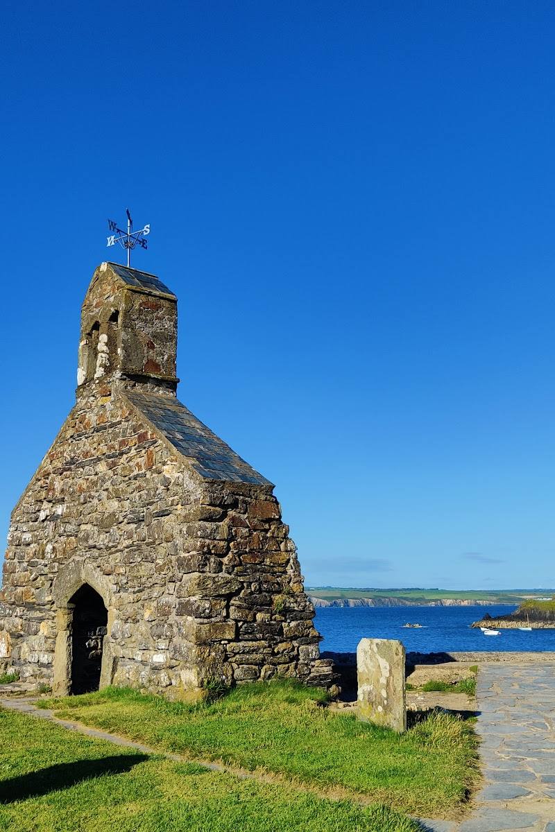
Keep exploring
Around Cwm-yr-Eglwys
Within 50 km · approximate straight-line distances
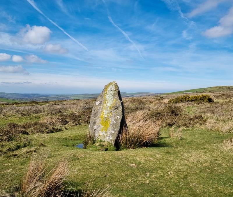
 Place photograph7.8
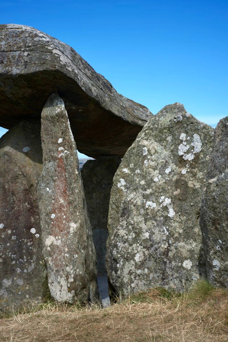
Pentre Ifan Burial Chamber
Nevern, near Crymych, Pembrokeshire SA41 3TZ
8.9 km away
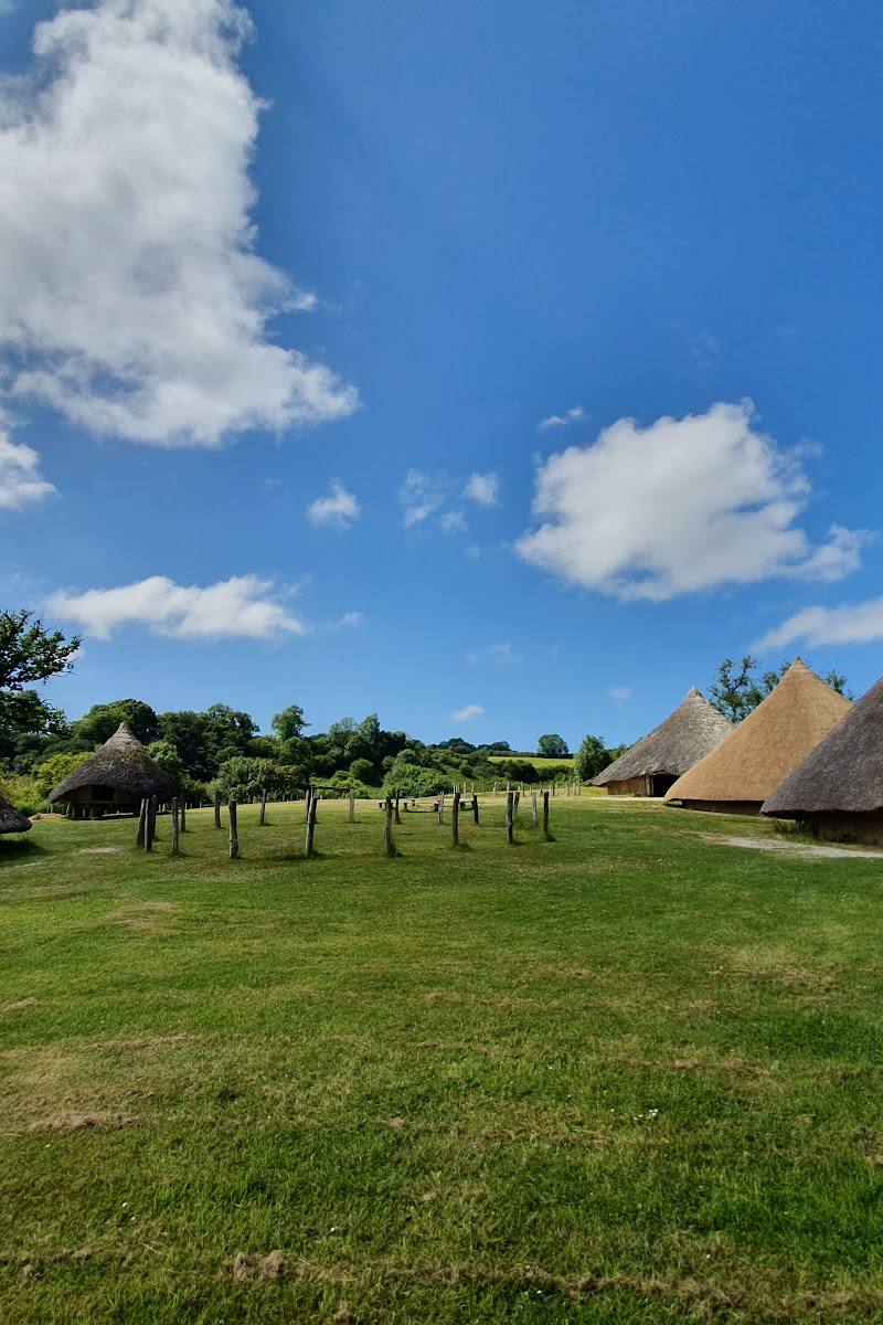 Place photograph7.1
Castell Henllys Iron Age Village
Meline, near Crymych, Pembrokeshire, SA41 3UR
10.3 km away