7.0
Wildland
1–2 hours
Time
Check
Cost
Wild
Feel
Why it's Wildland
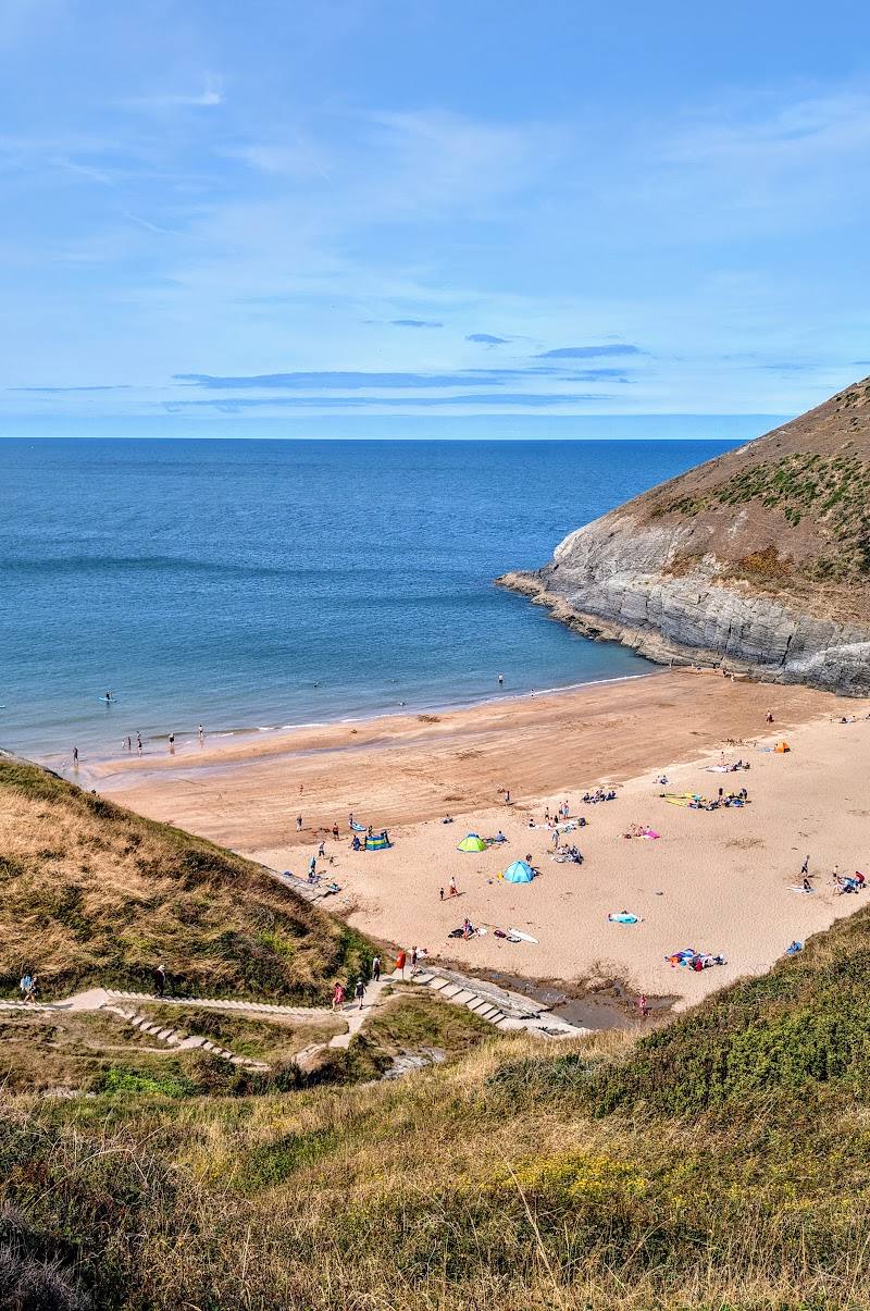
7.0A small bay on a rugged stretch of the Pembrokeshire coast, where a short clifftop walk leads towards Pwll y Wrach, the sea cave known as the Witches’ Cauldron.
Ceibwr Bay earns its place for the combination of a rocky shore, dramatic coastal walking and a distinctive sea-cave destination within a short walk. The National Park describes steep sections and warns of the nearby cliff edge, so this is a place to explore attentively rather than casually.
Wild · Dramatic · Secluded
Find your way
Open mapCeibwr Bay, near Moylegrove, Pembrokeshire
Opening map…
Know this place a little better?
The experience
Start at the bay and follow the Pembrokeshire Coast Path towards Pwll y Wrach, also known as the Witches’ Cauldron. The National Park’s route is 0.7 miles (1.2 km) each way and takes about 40 minutes each way. Keep well back from the cliff edge and check conditions before setting out.
Things to do
Walk the coast path to Pwll y Wrach
Follow the National Park’s short route from Ceibwr towards Pwll y Wrach, a sea cave also known as the Witches’ Cauldron. The route has some steep sections and runs close to the cliff edge.
40 minutes each way; 0.7 miles (1.2 km) each way
Explore the rocky bay
Take in the bay and rocky shore before or after the walk. Do not assume that swimming or other water activities are permitted or safe; check local conditions and guidance.
Make a day of it
Quick escape · About 1 hour 20 minutes walking, return
Quick escape: bay to the Witches’ Cauldron
- 01
Start at the informal parking area where the road widens at Ceibwr.
- 02
Follow the National Park route towards Pwll y Wrach, also known as the Witches’ Cauldron.
- 03
Return the same way, taking care on steep sections and near the cliff edge.
Folklore & legend
The name “Witches’ Cauldron” is used for Pwll y Wrach. The supplied sources do not establish a specific witch legend, so no legend is presented as fact.
Hidden details
Pwll y Wrach’s name — The coastal walk destination is also known as the Witches’ Cauldron (Pwll y Wrach). The supplied National Park source uses the Welsh name but does not explain its origin.
Watch the path edge — The National Park specifically warns that the route passes close to a steep cliff edge, despite being described as stile-free.
When to go
· Choose a clear, settled period for coastal views; no source gives a specific time of day.
The Wales Coast Path describes wildflowers along the wider Cardigan-to-Moylegrove route in spring and summer. No source provides a more precise seasonal recommendation for Ceibwr Bay itself.
Check weather and path conditions before setting out. The route has steep sections and runs close to a steep cliff edge.
The route
- stiles
- Stile-free
- distance
- 0.7 miles (1.2 km) each way
- duration
- 40 minutes each way
- difficulty
- Generally moderate gradients with some steep sections
- route shape
- Out and back
- start point
- Informal parking area where the road widens at Ceibwr
- parking start
- Informal parking area where the road widens at Ceibwr; check availability and conditions before travelling.
- Ceibwr Bay and its rocky shore
- Coast path towards Pwll y Wrach (the Witches’ Cauldron)
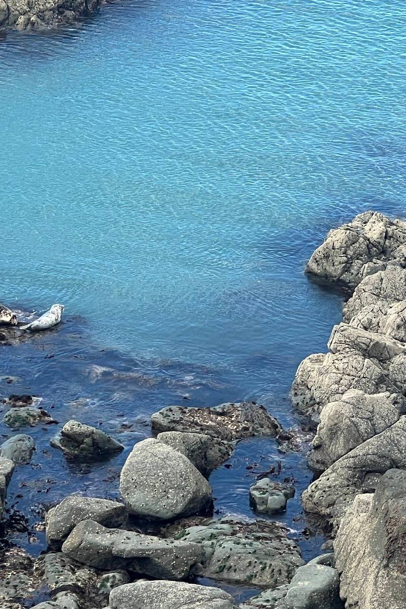
- Coastal views and rock formations
Worth pairing with
Cardigan
The Wales Coast Path presents Cardigan as the starting point for a longer 10-mile route to Moylegrove, passing coastal scenery and heritage sites. This is a separate, longer walk rather than a short add-on to the Ceibwr Bay visit.
What to look for
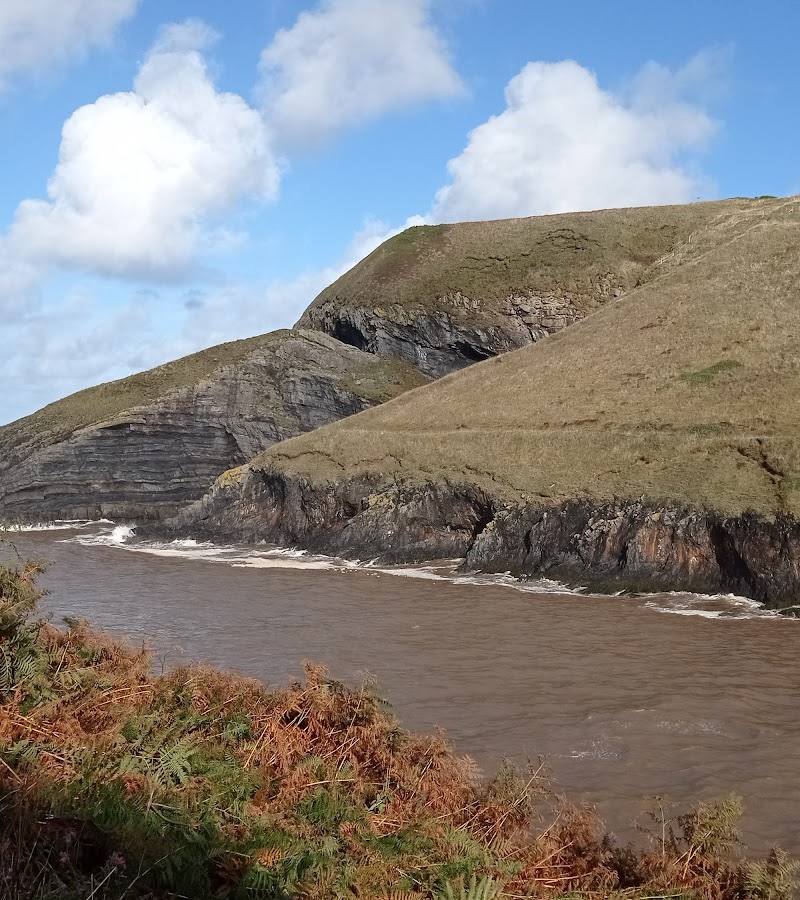
Look for the folded and contorted coastal rock formations described by the Wales Coast Path, and the sea cave at Pwll y Wrach. The National Park warns that the path passes close to a steep cliff edge.
Best time to go
Spring and summer for coastal wildflowers; conditions and cliff-path safety should take priority in every season.
Choose a clear, settled day for the coastal views. The National Park notes coastal wildflowers in spring and summer along the wider Cardigan-to-Moylegrove route.
How long to spend
1–2 hours
Perfect for
Walkers · Photographers · Wildlife lovers
Before you go
Address
Google rating
Practical information
Opening & access
A coastal bay with a rocky beach and access to the Pembrokeshire Coast Path. The National Park describes an informal parking area where the road widens at Ceibwr; check conditions and access before setting out.
Check before visiting
Parking
The National Park describes an informal parking area where the road widens at Ceibwr; check availability and conditions before travelling.
Check before visiting
Toilets
Check before visiting
Check before visiting
Food & drink
Check before visiting
Check before visiting
Dogs
Check before visiting
Check before visiting
Accessibility
The National Park describes the walk to Pwll y Wrach as stile-free, with generally moderate gradients and some steep sections. The path runs close to a steep cliff edge.
Cost
Check before visiting
Check before visiting
Water
Sea
Gallery
Place photographs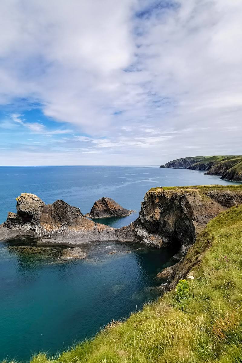
Keep exploring
Around Ceibwr Bay
Within 50 km · approximate straight-line distances

 Place photograph7.1
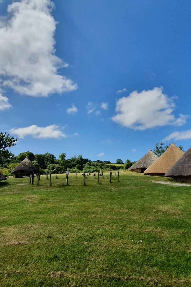
Castell Henllys Iron Age Village
Meline, near Crymych, Pembrokeshire, SA41 3UR
7.0 km away
 Place photograph7.8
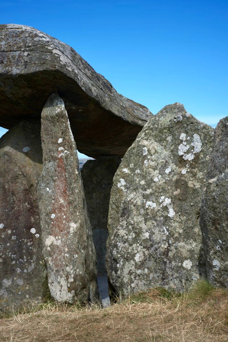
Pentre Ifan Burial Chamber
Nevern, near Crymych, Pembrokeshire SA41 3TZ
8.9 km away