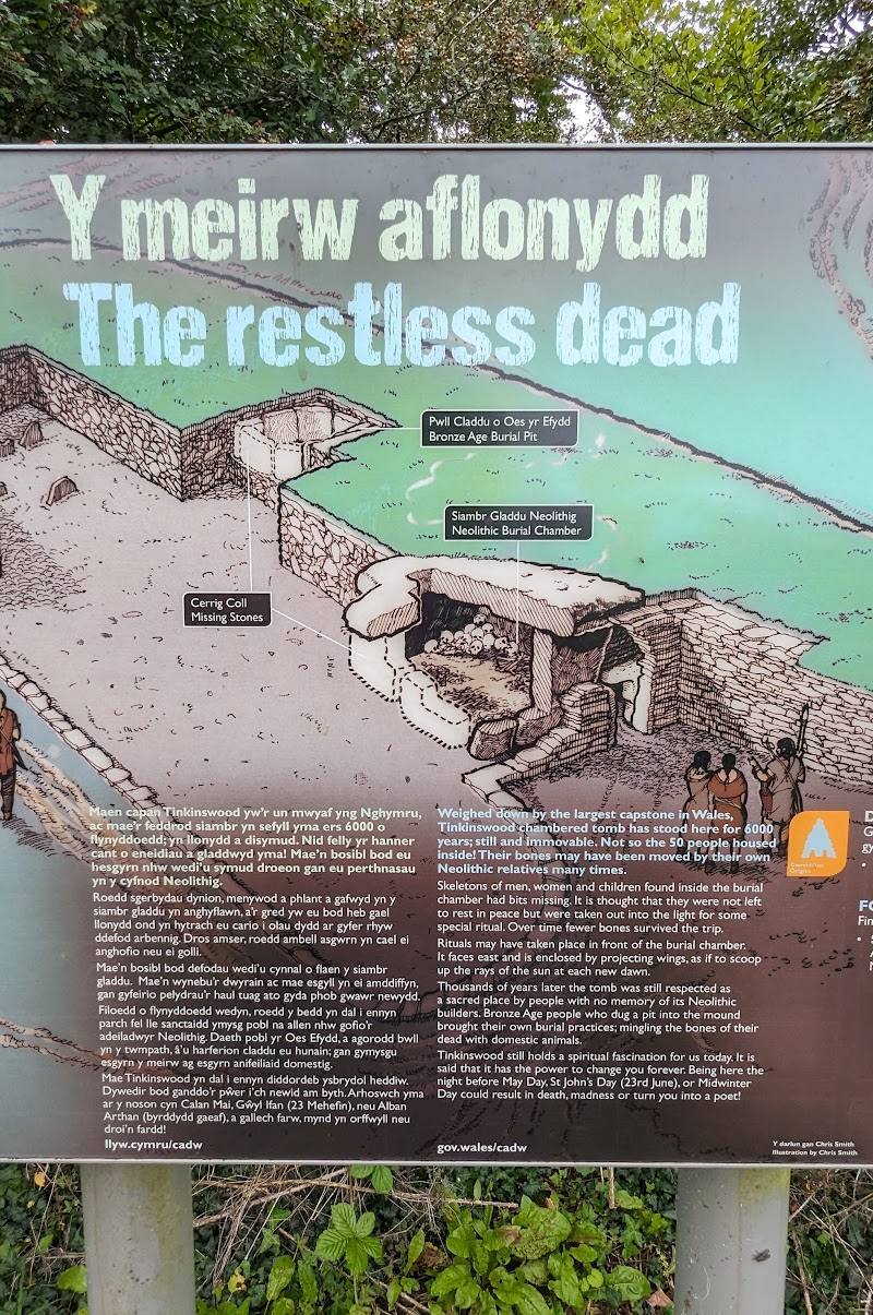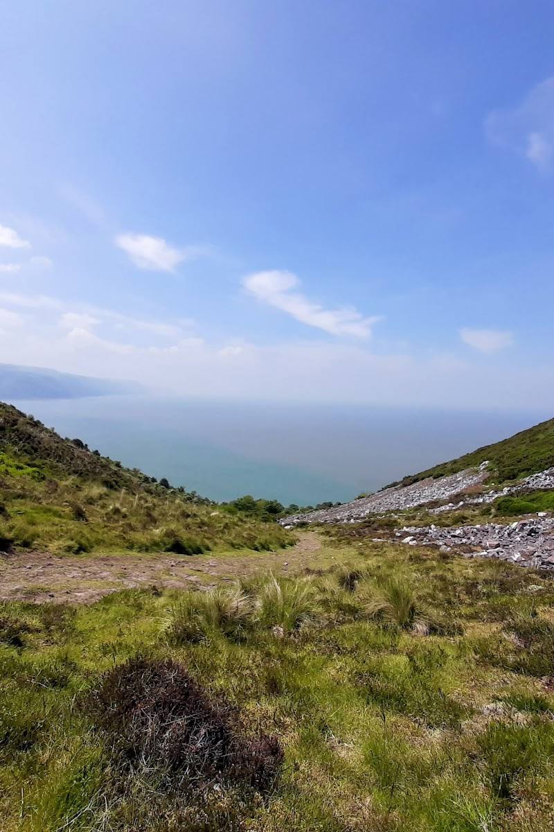
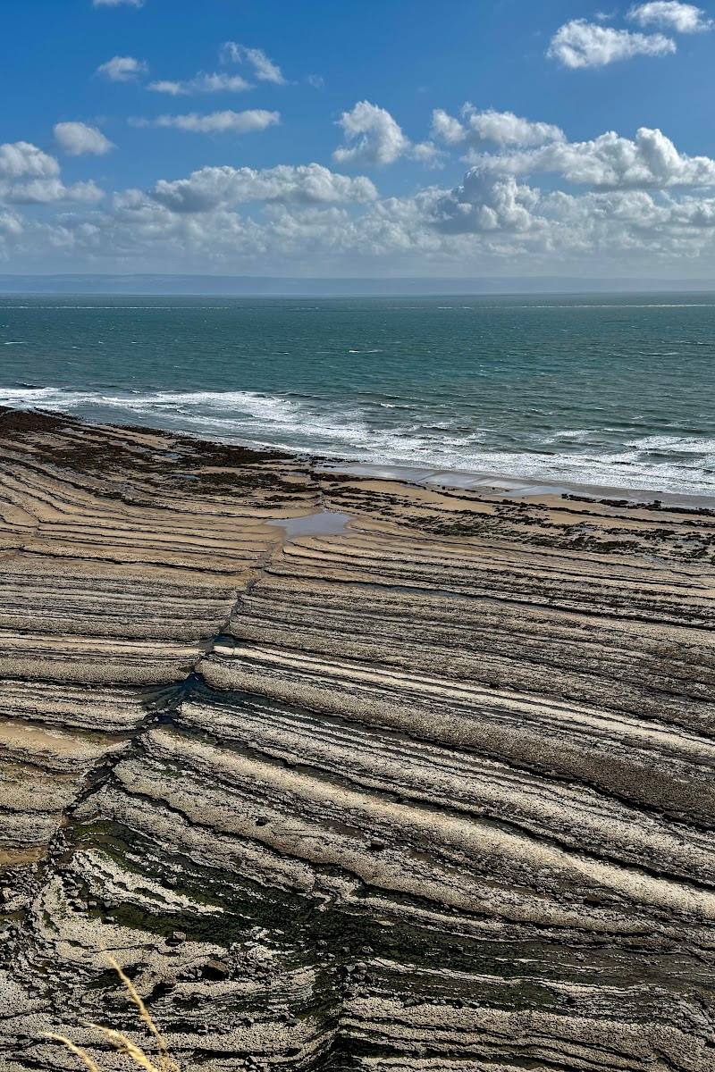
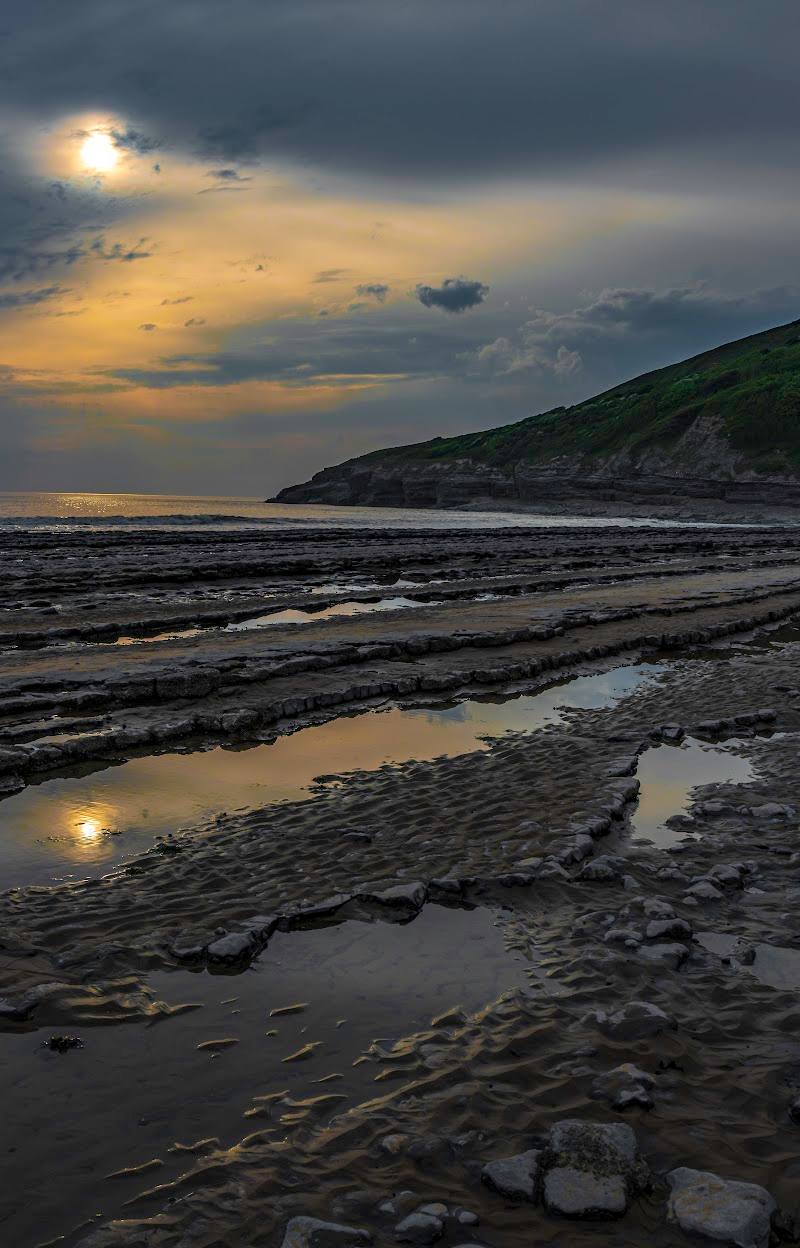
Southerndown coast, near Bridgend, South Wales
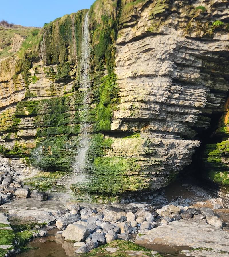
Cwm Mawr Waterfall
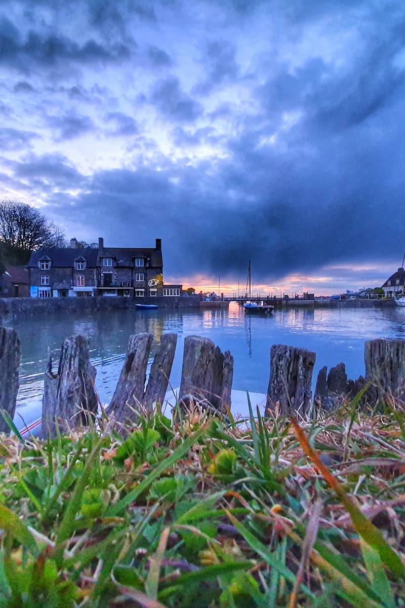
Waterside landscape
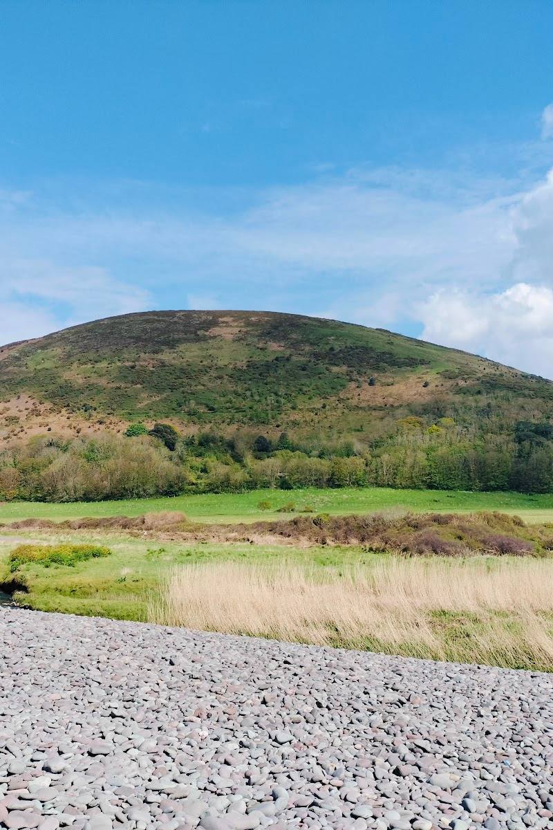
Place photograph
5.2
Wildland
Half day
Time
Check
Cost
Dramatic
Feel
Why it's Wildland
5.2Cwm Mawr Waterfall drops from a coastal valley onto the rocks of the beach. Reaching it means combining the waterfall with a tide-dependent walk beneath the cliffs—a striking outing, but one that needs careful planning.
A waterfall meeting the shore is an unusual coastal encounter, and the approach makes it feel like part of a larger landscape rather than a roadside stop. The reward comes with a serious caveat: the beach route is tide-dependent and intended for experienced walkers.
Dramatic · Wild
Find your way
Open mapSoutherndown coast, near Bridgend, South Wales
Opening map…
Know this place a little better?
The experience
A coastal waterfall reached from the beach between Southerndown and Monknash. The route source describes about 3 km of beach that must be walked at low tide, with a clifftop alternative. It warns that the tide can rise quickly and grades the outing for experienced walkers.
Things to do
See Cwm Mawr Waterfall meet the shore
From the beach, look for the first proper valley on the left along the described route; the source identifies it as the valley with Cwm Mawr Waterfall, which lands on the beach rocks.
Notice the neighbouring cascades
The route description also notes minor cascades at Cwm Bach and a cascade at the mouth of Cwm Nash. These are along the beach route, so only attempt to reach them when tide and conditions allow.
Make a day of it
Quick escape · Half day
Out to Cwm Mawr Waterfall
- 01
Start from the beach parking area at Southerndown.
- 02
Use the described route towards Dunraven Castle and descend to the beach only if conditions and tide make it safe to do so.
- 03
Walk the beach section to the first proper valley, where the route source places Cwm Mawr Waterfall.
- 04
Return by your planned route, allowing enough time to leave the beach before the tide rises.
Hidden details
The waterfall lands on the beach rocks — Cwm Mawr Waterfall is described as falling onto the rocks of the beach, rather than ending at an inland pool.
When to go
· Plan around a suitable low tide; no preferred time of day is established by the supplied sources.
The supplied route information makes the tide, rather than the season, the key planning factor.
The beach route is tide-dependent and the source warns that tide predictions may not account for storm surges. Check conditions and assess the route before setting out.
The route
- stiles
- A stile is mentioned as an alternative to gates at the route start; further details are not provided.
- surface
- Tidal beach, with a rocky descent to the shore; other route surfaces are not fully specified.
- distance
- The source describes 3 km of beach between Southerndown and Monknash; this is not stated as the full return-route distance.
- difficulty
- Experienced; the route source also describes a short scramble down rocks to reach the beach.
- route shape
- Out-and-back beach section, with a clifftop alternative described.
- start point
- Beach parking area at Southerndown; the source gives grid reference SS 8855 7313.
- parking start
- The route source directs visitors to the beach parking area at Southerndown; check current arrangements.
- shorter alternative
- A clifftop path is described as an alternative to the tidal beach route, but the source does not give its distance or confirm that it reaches the waterfall.
- Cwm Mawr Waterfall falling onto the beach rocks
- Cwm Bach minor cascades
- Whitmore Stairs and the cliffs
- Cwm Nash cascade and the route past an old mill
Worth pairing with
Monknash
The route source describes a path from Cwm Nash past cascades and an old mill to a road leading to Monknash, where it notes a pub for food and refreshments.
What to look for
Look for the valley opening onto the beach where Cwm Mawr Waterfall falls onto the rocks. The route also describes smaller cascades at nearby Cwm Bach and a cascade at the mouth of Cwm Nash.
Best time to go
Not established by the supplied sources; check conditions and tide times before visiting.
The route source says to go only when the beach section is passable at low tide. Check tide predictions for the nearby Porthcawl station and assess conditions on the day; the source cautions that predictions may not account for storm surges.
How long to spend
Half day
Perfect for
Walkers · Photographers
Before you go
Practical information
Opening & access
The waterfall is reached from the beach on the Southerndown–Monknash coastal route. The beach section is only passable at low tide and the tide can cover it quickly, leaving few escape points. The route source grades the walk for experienced walkers; check tide predictions and conditions before setting out. A clifftop path is described as an alternative.
Check before visiting
Parking
The route source directs visitors to the beach parking area at Southerndown. Confirm current arrangements before travelling.
Toilets
Check before visiting
Check before visiting
Food & drink
The source mentions a pub in Monknash for food and refreshments; check current availability before visiting.
Check before visiting
Dogs
Check before visiting
Check before visiting
Accessibility
The supplied source row says the entrance is not wheelchair accessible. The described route includes a descent over rocks and is graded for experienced walkers; it is not presented as an accessible route.
Cost
Check before visiting
Check before visiting
Water
Sea
Gallery
Place photographsKeep exploring
Around Cwm Mawr Waterfall
Within 50 km · approximate straight-line distances