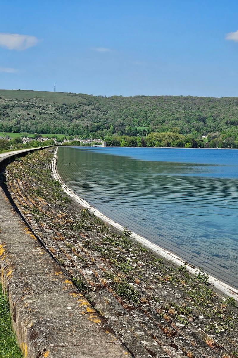
Near Axbridge and Cross, Somerset, at the western end of the Mendip Hills
Crook Peak to Shute Shelve Hill
Viewpoint
Place photograph
6.7
Wildland
1–2 hours for a short visit
Time
Check
Cost
Dramatic
Feel
Why it's Wildland
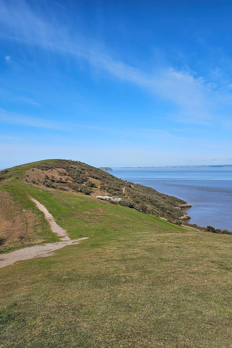
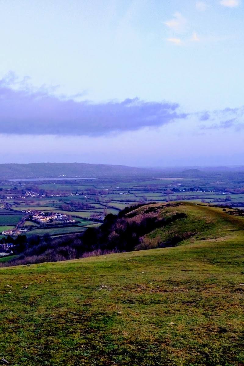
6.7A limestone escarpment on the western Mendips, with far-reaching views across the Somerset Levels towards the Bristol Channel.
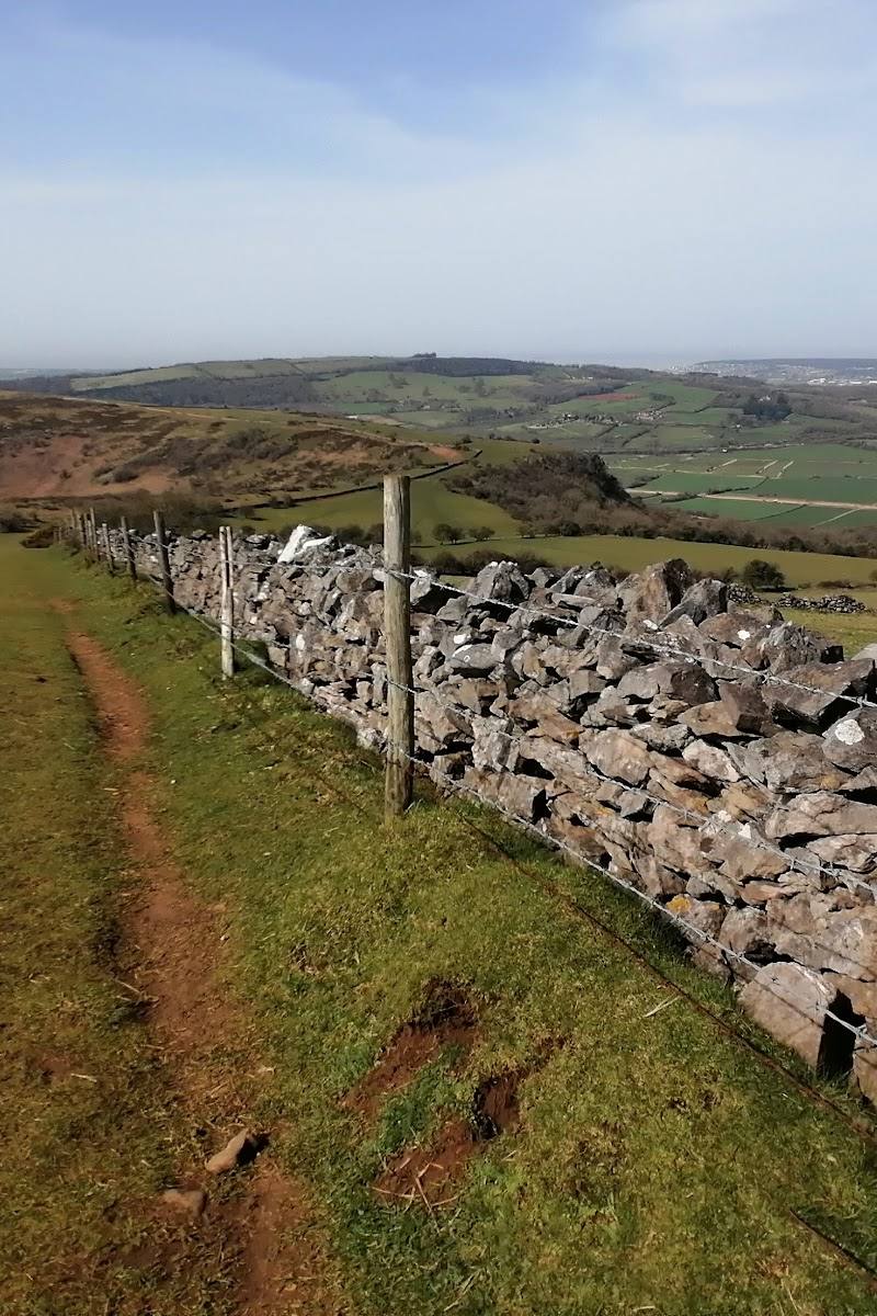
Crook Peak combines exposed limestone, species-rich grassland and big Somerset views. Link it with the wider ridge for a more immersive walk through open hills, farmland and quieter wooded sections.
Dramatic · Big-sky · Wild
Find your way
Open mapNear Axbridge and Cross, Somerset, at the western end of the Mendip Hills
Opening map…
Know this place a little better?
The experience
Visit the summit for the escarpment and views, or make a longer outing of the ridge and nearby hills. A circular route from Cross is listed as a moderate, 6.4-mile loop.
Things to do
Reach the Crook Peak summit
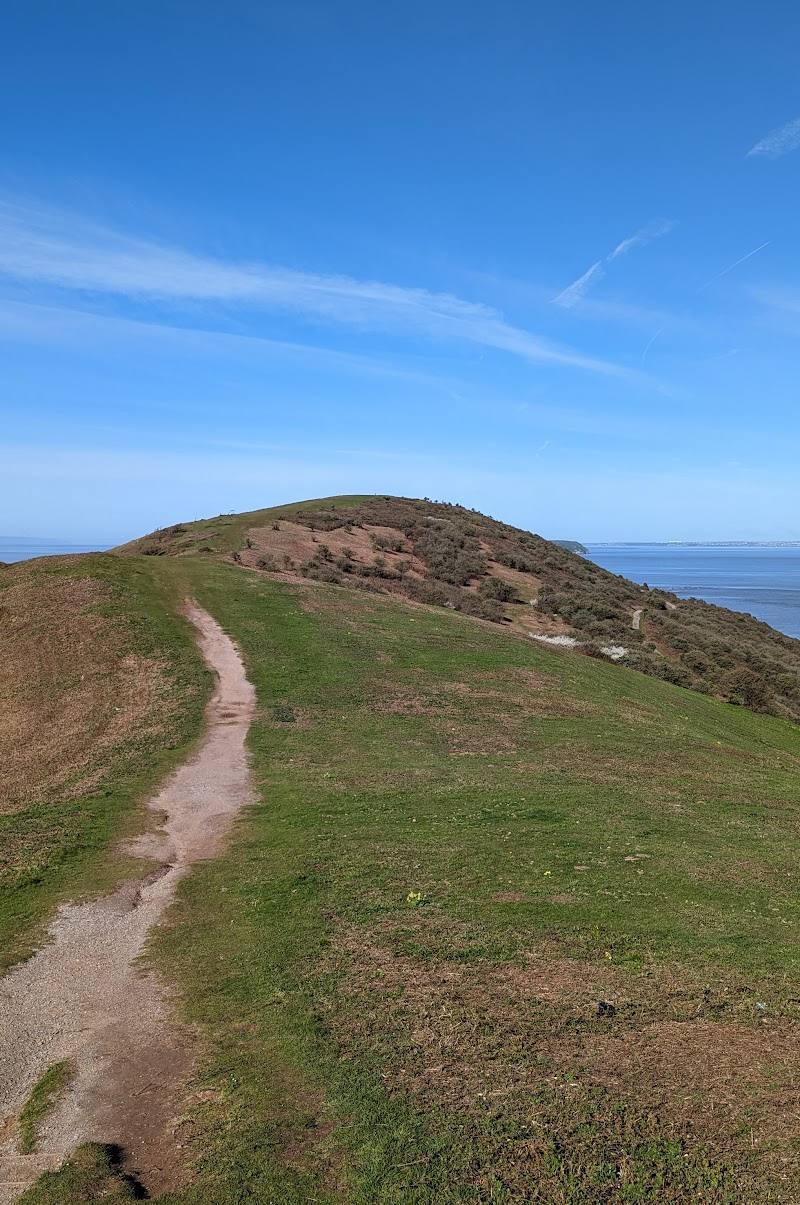
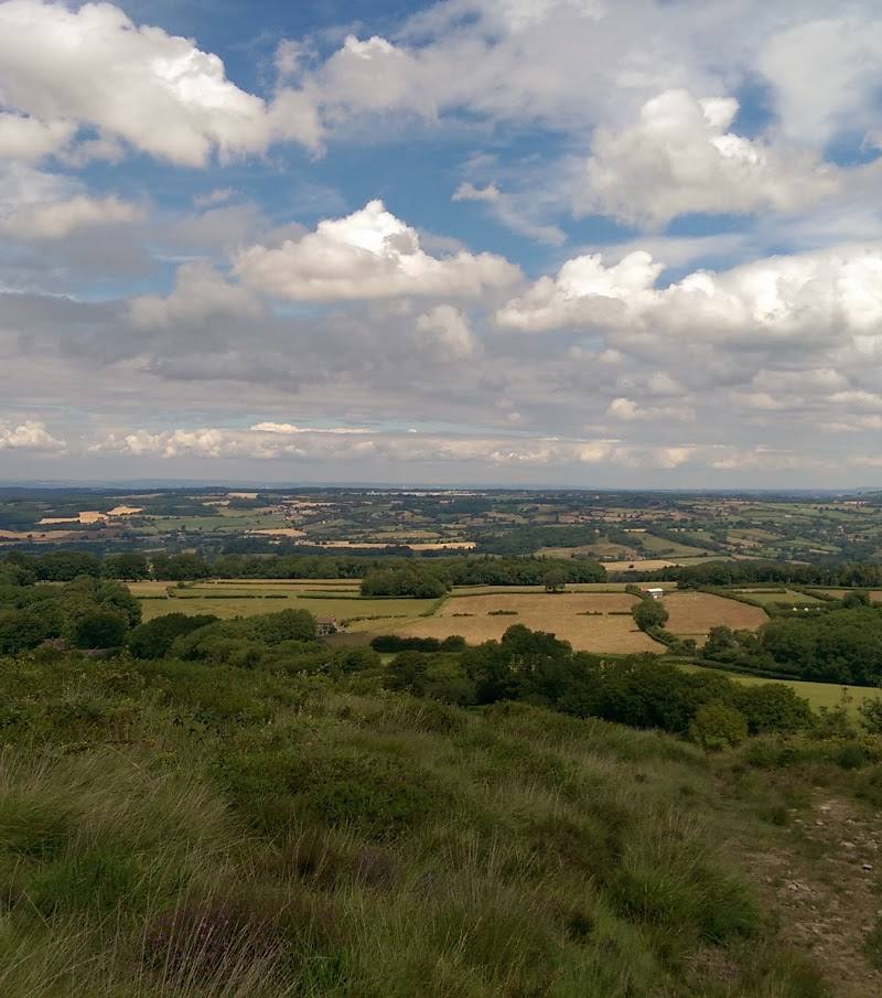
Follow a public footpath to the rocky summit of this limestone escarpment for wide views across the Somerset Levels towards the Bristol Channel.
1–2 hours
Walk the Cross–Crook Peak circular
Try the listed 6.4-mile moderate loop from Cross, with hill climbs, open fields, farms and quieter wooded areas. Muddy sections are reported.
3–3.5 hours
Explore the wider ridge landscape
The designated site extends along a line of hills including Crook Peak, Compton Hill, Wavering Down, Cross Plain and Shute Shelve Hill.
Make a day of it
Quick escape · 1–2 hours
Quick summit escape
- 01
Use a public footpath to reach Crook Peak.
- 02
Explore the rocky summit and take in the views across the Somerset Levels towards the Bristol Channel.
- 03
Return by your chosen path; check local access and conditions before setting out.
Half day · 3–3.5 hours
Make a half day of the Mendip ridge
- 01
Start in Cross and follow the listed Crook Peak circular route.
- 02
Climb to Crook Peak and continue through the route’s open fields and quieter wooded sections.
- 03
Allow for steep climbs and possible mud; the route is listed as moderate and covers 6.4 miles.
Verified history
The supplied sources describe Crook Peak to Shute Shelve Hill as a 332.2-hectare geological and biological Site of Special Scientific Interest, notified in 1952. The designated ridge extends for about five kilometres and includes Crook Peak, Compton Hill, Wavering Down, Cross Plain and Shute Shelve Hill.
Folklore & legend
A social-media source refers to Crook Peak as the “Sleeping Giant’s Nose”; the supplied material does not establish this as a documented local legend.
Hidden details
Notice the limestone landscape — The site is recognised for both geological and biological interest. At Crook Peak, the supplied visitor description highlights Carboniferous limestone cliffs and species-rich calcareous grassland.
When to go
· A clear day for views; avoid exposed paths in poor weather and check conditions before setting out.
The supplied sources do not identify a best season. Longer daylight in spring to autumn can make hill walking more practical, but this is general guidance rather than site-specific seasonal evidence.
The site is exposed, and visitor tags mention wind. A route source reports steep climbs and muddy sections; check the forecast and ground conditions.
The route
- ascent
- 987 ft
- surface
- Not specified; muddy sections are reported.
- distance
- 6.4 miles
- duration
- 3–3.5 hours
- difficulty
- Moderate
- route shape
- Loop
- start point
- Cross
- parking start
- Check before visiting
- shorter alternative
- A 1–2-hour summit visit is described by the supplied visitor source; the exact route and distance are not specified.
- Crook Peak summit
- Wide views across the Somerset Levels towards the Bristol Channel
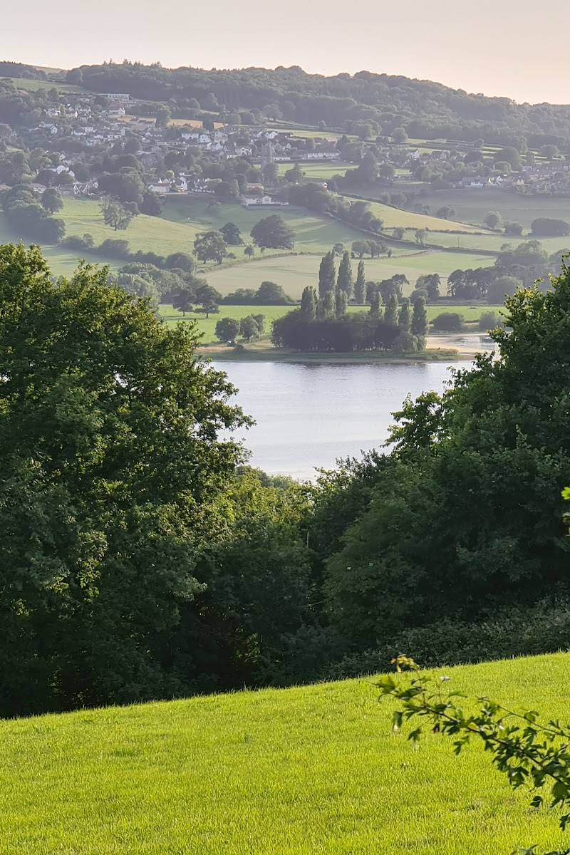
- Open fields, farms and quieter wooded sections
What to look for
Look for the exposed Carboniferous limestone cliffs and species-rich calcareous grassland. On a clear day, take time to pick out the Somerset Levels and Bristol Channel from the summit.
The story
Archaeology
Best time to go
Spring to autumn for longer daylight and a more comfortable hill walk; check conditions before visiting.
Choose a clear day for the broadest views. Wind and muddy sections are reported, so check the forecast and ground conditions before setting out.
How long to spend
1–2 hours for a short visit; Half day for a longer circular walk
Perfect for
Walkers · Photographers · Wildlife lovers
Before you go
Address
Google rating
Practical information
Opening & access
The summit is reached by public footpaths, and circular walks link nearby villages. Paths include steep sections; check local conditions and access before setting out.
Check before visiting
Parking
Check before visiting; parking details are not confirmed by the supplied sources.
Check before visiting
Toilets
Check before visiting
Check before visiting
Food & drink
Check before visiting
Check before visiting
Dogs
Check before visiting
Check before visiting
Accessibility
Steep sections and uneven hill paths are reported. This is not established as an accessible route; check conditions and route suitability before visiting.
Check before visiting
Cost
Check before visiting
Check before visiting
Gallery
Place photographsKeep exploring
Around Crook Peak to Shute Shelve Hill
Within 50 km · approximate straight-line distances