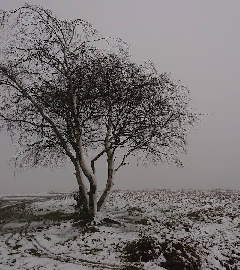
Beacon Batch, Mendip Hills, Somerset, England
Beacon Batch
Viewpoint
Place photograph
6.1
Wildland
1–2 hours
Time
Check
Cost
Big-sky
Feel
Why it's Wildland
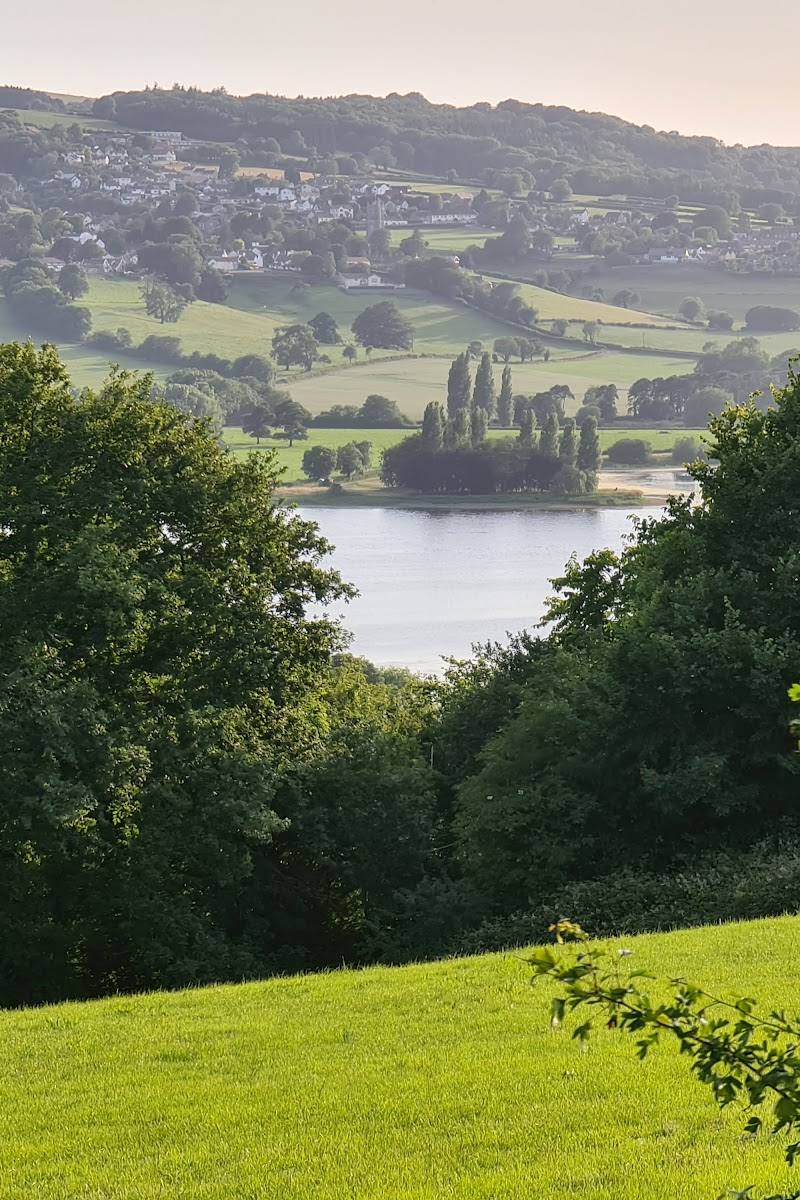
6.1Bronze Age barrows and traces of a Second World War decoy village sit on a Mendip summit with far-reaching views towards Blagdon Lake, Batts Combe Quarry and the Bristol Channel.
Beacon Batch combines open Mendip hilltop scenery with visible traces of very different pasts: Bronze Age burial mounds and a decoy village built to draw enemy bombers away from Bristol. A short circular walk makes those discoveries accessible in a compact outing.
Big-sky · Atmospheric · Wild
Find your way
Open mapBeacon Batch, Mendip Hills, Somerset, England
Opening map…
Know this place a little better?
The experience
The sourced short circular route is 2.5 miles (4 km), takes an estimated 1–1.5 hours and gains 416 ft (127 m). Its summit views and archaeological and wartime traces make it a rewarding short Mendip outing.
Things to do
Walk the short circular
Follow the 2.5-mile loop to Beacon Batch summit. AllTrails estimates 1–1.5 hours and describes the route as easy, with 416 ft of elevation gain.
1–1.5 hours
Take in the summit views
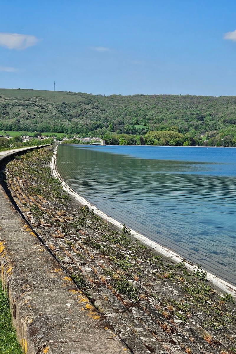
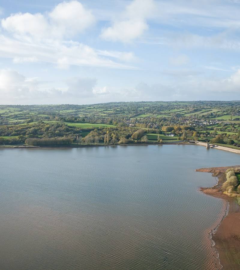
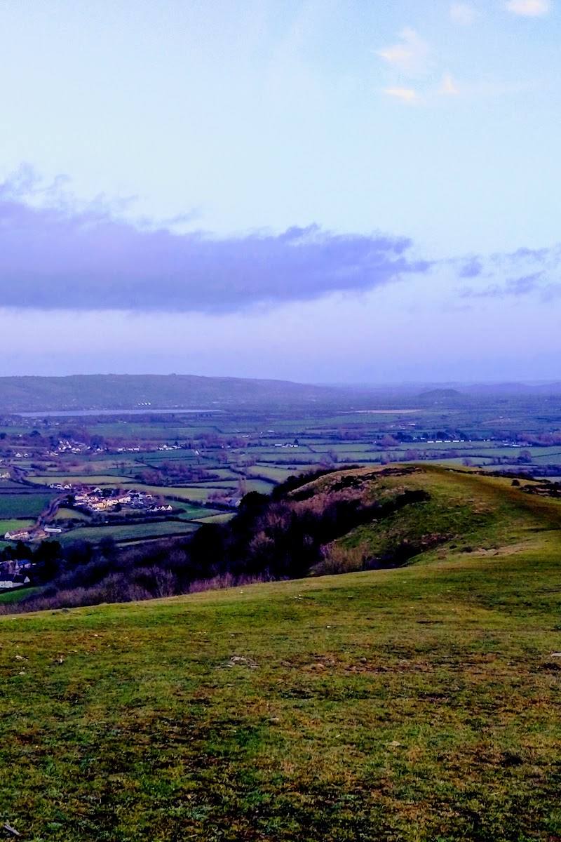
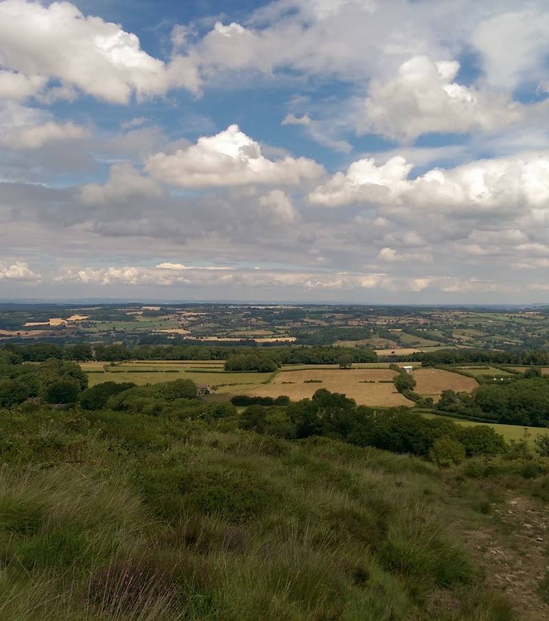
From the hilltop, look towards Batts Combe Quarry, Blagdon Lake and the Bristol Channel.
Notice the barrows and wartime traces
The hill is associated with Bronze Age funeral barrows and remains of a Second World War decoy village intended to draw enemy bombers away from Bristol.
Make a day of it
Quick escape · 1–1.5 hours
Quick escape: Beacon Batch circular
- 01
Walk the 2.5-mile short circular route to Beacon Batch summit.
- 02
Pause at the summit for the views towards Batts Combe Quarry, Blagdon Lake and the Bristol Channel.
- 03
Return by the circular route.
Verified history
Beacon Batch is described as having Bronze Age funeral barrows and remains of a Second World War decoy village constructed to lure enemy bombers away from nearby Bristol. The available source gives no precise date for the decoy village.
Hidden details
A wartime decoy village — Look for the remains associated with a decoy village built to mislead enemy bombers targeting nearby Bristol.
Bronze Age burial mounds — The summit area is described as hosting a number of Bronze Age funeral barrows.
When to go
· Not established by the available sources.
The supplied route information gives no seasonal recommendation. Wet weather can make the trail muddy.
AllTrails recommends waterproof shoes because the trail may be muddy after periods of bad weather. Be prepared for changing conditions.
The route
- ascent
- 416 ft (approximately 127 m)
- surface
- Can be muddy after periods of bad weather; uneven terrain is reported.
- distance
- 2.5 miles (approximately 4 km)
- duration
- 1–1.5 hours
- difficulty
- Easy, according to AllTrails
- route shape
- Loop
- start point
- Check before visiting for the precise start point.
- parking start
- Check before visiting for parking and start-point details.
- Beacon Batch summit
- Views towards Batts Combe Quarry, Blagdon Lake and the Bristol Channel
- Bronze Age funeral barrows
- Remains associated with a Second World War decoy village
What to look for
Look for the Bronze Age funeral barrows and the remains of the Second World War decoy village. At the summit, take in the views towards Batts Combe Quarry, Blagdon Lake and the Bristol Channel.
The story
Archaeology, War & battle
Best time to go
Not specified by the available sources. Check conditions before setting out; the trail may be muddy after rain.
No best time of day or season is established by the available sources. Check the forecast and ground conditions; the route may be muddy after wet weather.
How long to spend
1–2 hours
Perfect for
Walkers · Photographers · History lovers · Dogs
Before you go
Address
Google rating
Practical information
Opening & access
A walking route to the summit is described by AllTrails. Check current access and route conditions before visiting; the trail can be muddy after wet weather. Access arrangements are unconfirmed. Check before visiting; do not enter private land or restricted structures.
Check before visiting
Parking
Check before visiting for current parking and start-point information.
Check before visiting
Toilets
Check before visiting
Check before visiting
Food & drink
Check before visiting
Check before visiting
Dogs
Dogs are welcome on the described route; livestock may be present, so keep dogs on a lead.
Accessibility
AllTrails describes the short circular route as easy, but reports uneven terrain and muddy sections. Check current conditions and whether the route suits your needs.
Check before visiting
Cost
Check before visiting
Check before visiting
Gallery
Place photographsKeep exploring
Around Beacon Batch
Within 50 km · approximate straight-line distances