Sutton, Macclesfield, United Kingdom (source listing
Bottoms Reservoir
Reservoir
Place photograph
4.9
Wildland
1–2 hours
Time
Check
Cost
["Peaceful"]
Feel
Why it's Wildland
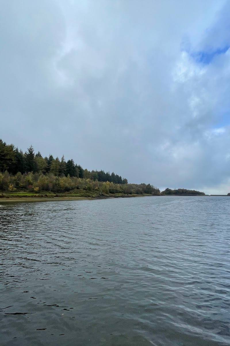
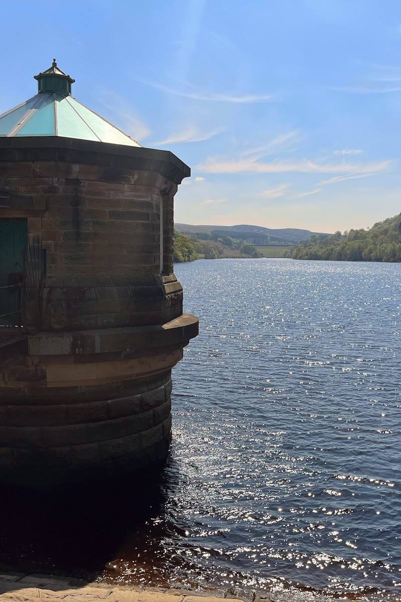
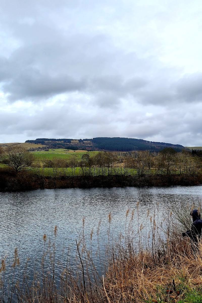
4.9Bottoms Reservoir is one of the Longdendale reservoirs. The strongest sourced way to experience it is on foot, with routes linking its shoreline to neighbouring Valehouse Reservoir and views across the water.
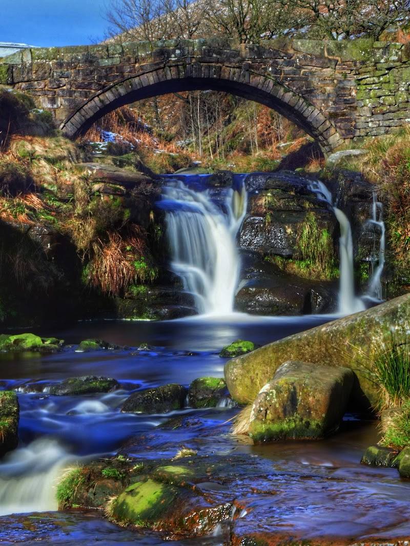
The reservoir earns its place for the landscape experience rather than any unverified facilities or activities: sourced routes follow the water and connect it with Valehouse Reservoir, offering a rewarding reservoir-side walk in the Peak District setting.
["Peaceful"]
Find your way
Open mapSutton, Macclesfield, United Kingdom (source listing
Opening map…
Know this place a little better?
The experience
Bottoms Reservoir is best approached as a waterside walking destination. A sourced loop links it with Valehouse Reservoir; swimming, paddling, facilities, and independent access arrangements are not confirmed.
Things to do
Walk beside Bottoms Reservoir
Follow a local walking route along the reservoir. The supplied route source describes an easy circular walk with views along the way; check the mapped route and access conditions before visiting.
About 1 hour for the short Komoot route
Link Bottoms with Valehouse Reservoir
Take the longer circular route beside both reservoirs. AllTrails lists a 6.3-mile loop taking an estimated 2–2.5 hours, with Rhodeswood Dam and Valehouse Dam among its named sights.
2–2.5 hours
Make a day of it
Quick escape · About 1 hour
Quick reservoir-side walk
- 01
Choose a suitable local path and walk a section beside Bottoms Reservoir.
- 02
Turn back when you have had enough; the supplied sources do not establish a specific short-loop distance or starting point.
Half day · About 2–2.5 hours
Bottoms and Valehouse Reservoir loop
- 01
Follow the sourced circular route linking Bottoms Reservoir and Valehouse Reservoir.
- 02
Enjoy the reservoir views and note the route’s identified dams along the wider circuit.
- 03
Check route access, conditions and a suitable start point before setting out.
Verified history
The supplied sources identify Bottoms Reservoir as part of the Longdendale reservoir landscape. A supplied video description says the Longdendale Chain was built to supply water to Manchester during the nineteenth century; this account is not independently corroborated by another supplied source.
When to go
· No particular time of day is verified; check current conditions before visiting.
The supplied AllTrails route description says the reservoir views are attractive year-round. No evidence supports a more specific seasonal recommendation.
Weather can change; check the forecast and route conditions before setting out.
The route
- ascent
- 393 ft
- surface
- Mostly gravel, with paved and other surfaces also reported
- distance
- 6.3 miles (Bottoms and Valehouse Reservoir loop)
- duration
- 2–2.5 hours
- difficulty
- Moderate
- route shape
- Loop
- start point
- Not confirmed in the supplied route source; check its route map before setting out.
- parking start
- Parking is described as limited in route-review summaries; no verified parking location is supplied. Check before visiting.
- shorter alternative
- A separate Komoot listing describes a 3.63 km route taking about 58 minutes, starting and finishing at bus stops; confirm its mapped details before use.
- Views beside Bottoms Reservoir and Valehouse Reservoir
- Rhodeswood Dam
- Valehouse Dam
Worth pairing with
Valehouse Reservoir
A worthwhile linked waterside stop on the sourced Bottoms and Valehouse Reservoir circular route.
What to look for
On a reservoir-side walk, look for changing views across the water and the neighbouring Valehouse Reservoir. The supplied route listing also identifies Valehouse Dam and Rhodeswood Dam as sights on its wider loop.
The story
Industry
Best time to go
Year-round; the supplied route source describes the reservoir views as attractive in all seasons.
The available source describes the reservoir views as appealing year-round. Check weather and route conditions before setting out; no more specific seasonal or time-of-day advice is verified.
How long to spend
1–2 hours; longer reservoir-loop options are available.
Perfect for
["Walkers" · "Photographers"]
Before you go
Address
Google rating
Practical information
Opening & access
Public access and entry arrangements are not confirmed by the supplied sources. Check current access conditions before visiting; the supplied map pin is a main-place pin, not an entrance or parking location. Access arrangements are unconfirmed. Check before visiting; do not enter private land or restricted structures.
Check before visiting
Parking
Parking availability and location are not verified. Check before visiting; the supplied coordinate is not a parking pin.
Check before visiting
Toilets
Check before visiting.
Check before visiting
Food & drink
Check before visiting.
Check before visiting
Dogs
One route description advises keeping dogs on leads because livestock may be encountered. Check current local rules.
Check before visiting
Accessibility
One route source describes flat paths and wheelchair-friendly sections, but this does not verify step-free access for the full route or at the reservoir. Check route conditions and access details before setting out.
Check before visiting
Cost
Unknown
Check before visiting
Water
Reservoir
Gallery
Place photographsKeep exploring
Around Bottoms Reservoir
Within 50 km · approximate straight-line distances