Ashgill Bridge, near Garrigill, Alston, CA9 3HB
Ashgill Force
Waterside landscape
Place photograph
6.2
Wildland
1–2 hours
Time
Check
Cost
Dramatic
Feel
Why it's Wildland
6.2Ashgill Force drops through a steep-sided gorge beneath Ashgill Bridge. A path reaches the falls and continues behind the curtain of water; below, a wooden footbridge leads to more cascades.
A substantial waterfall tucked beneath an old road bridge gives this North Pennines spot a memorable sense of scale. The close approach and path behind the falling water make it more than a roadside view, but the steep, slippery descent calls for care.
Dramatic · Atmospheric · Wild
Find your way
Open mapAshgill Bridge, near Garrigill, Alston, CA9 3HB
Opening map…
Know this place a little better?
The experience
Visit the waterfall by the signed approach from near Ashgill Bridge, or make a longer walk from Garrigill. The descent is steep and can be slippery; swimming permission and facilities are not established.
Things to do
See the main fall beneath Ashgill Bridge
Follow the path down from the bridge to view the waterfall as it drops into the rocky gorge. The approach is steep and can be slippery.
Allow around 30 minutes for the out-and-back approach; actual time varies with conditions and pace.
Explore behind the waterfall
A path leads behind the falls, according to the North Pennines National Landscape. Only attempt it when conditions and footing are safe; do not approach in flood or icy weather.
Continue to the lower cascades
Cross the wooden footbridge to explore the lower series of falls, which the North Pennines National Landscape identifies as worth visiting.
Walk to the falls from Garrigill
The North Pennines National Landscape describes a walk from Garrigill. A separate circular route is reported as 3.1 miles, with rough and slippery sections and high stiles; use a current route map and check conditions.
AllTrails estimates 1–1.5 hours for its 3.1-mile circular route.
Make a day of it
Quick escape · About 30 minutes, depending on conditions and pace
Quick Escape: the falls from Ashgill Bridge
- 01
Use the small lay-by described by the North Pennines National Landscape, if parking is available and permitted.
- 02
Cross Ashgill Bridge and follow the described path, turning right down the narrower track towards the waterfall.
- 03
View the falls from the path; continue behind the waterfall only if conditions and footing make it safe.
- 04
Return by the same route. The descent is steep and may be slippery.
Half day · About 1–2 hours at the falls, with additional time for travel and breaks
Half Day: waterfall and lower cascades
- 01
Approach from the B6277 near Ashgill Bridge using the North Pennines National Landscape directions.
- 02
Explore the viewpoint and, if safe, the path behind the waterfall.
- 03
Cross the wooden footbridge to see the lower series of falls.
- 04
Allow time to return carefully; do not attempt the route in flood or icy conditions.
Verified history
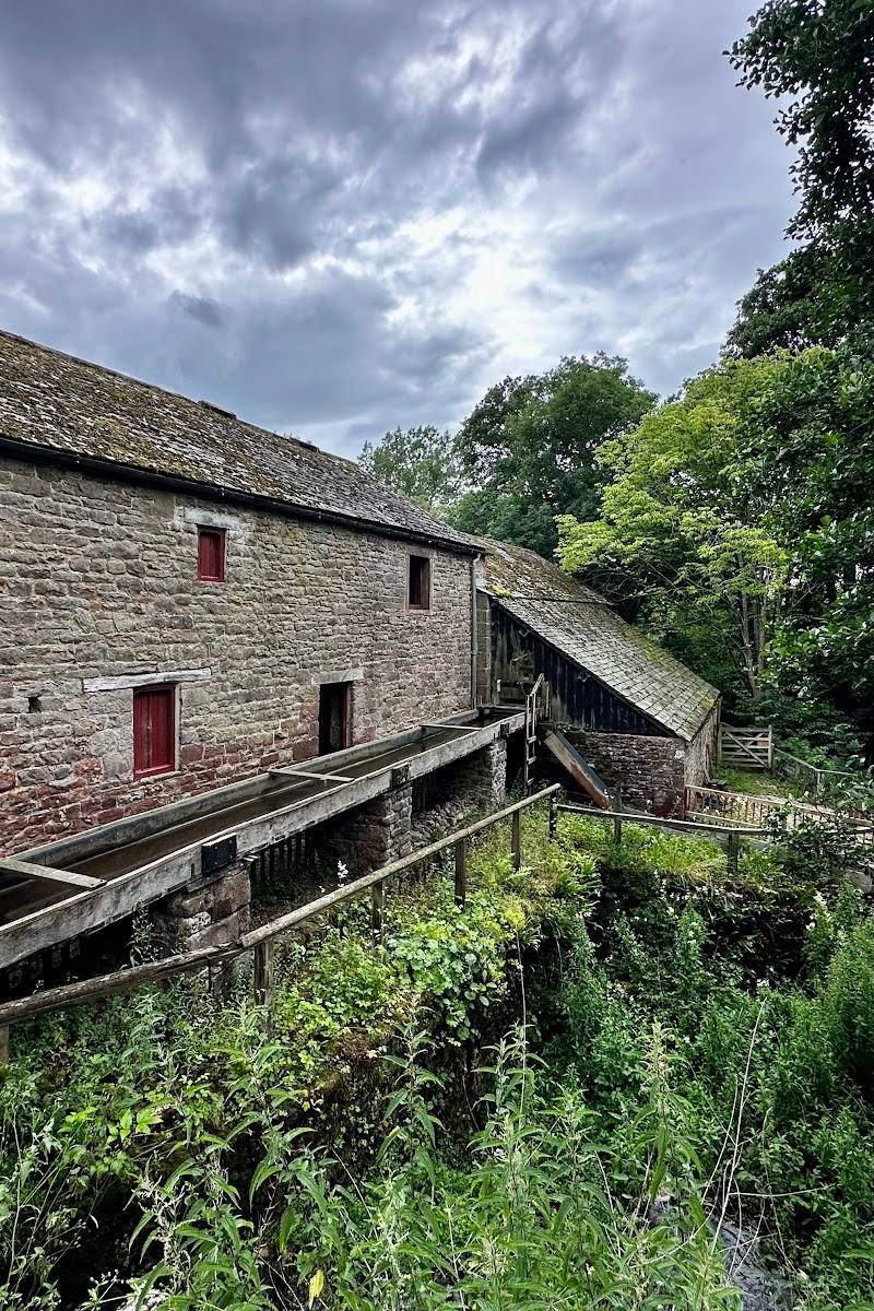
Ashgill Force lies in a landscape shaped by lead and silver mining. Countryfile describes the surrounding mining history and identifies a broad shelf behind the waterfall as a place that had an industrial use, though the supplied evidence does not establish the precise operation or date. Countryfile also describes an old sandstone road bridge above the falls.
Hidden details
The route behind the falling water — A path leads behind the waterfall itself. This is a notable feature, but the route should only be attempted when conditions are safe; floodwater and ice can make it dangerous.
Fossils along the nearby route — Countryfile reports fossilised cockles in rocks near the river on the approach. Treat this as something to observe from a safe position, not a reason to scramble on slippery rocks.
When to go
· No particular time of day is supported by the supplied sources. Check weather and river conditions before visiting.
Countryfile describes the falls as especially striking in winter conditions, including frost, but also warns that high water, ice and slippery rocks make the route hazardous. The North Pennines National Landscape confirms the path and lower cascades; it does not specify a best season.
Wet weather can make the descent muddy and slippery; floodwater and ice make the river approach hazardous. Check local conditions before setting out and keep away from fast-flowing water.
The route
- stiles
- High stiles are reported on the Garrigill circular route. The B6277 approach includes a stone stile through a wall.
- surface
- Narrow path; reports describe rough, muddy and slippery sections. The precise surface is not documented.
- distance
- The approach from the B6277 is described as about 120 m along the clear path before turning down towards the falls; the total walk is not specified. The Garrigill circular route listed by AllTrails is 3.1 miles.
- duration
- The Garrigill circular route is estimated by AllTrails at 1–1.5 hours. No verified duration is given for the short approach from the B6277.
- difficulty
- Moderate for the Garrigill circular route according to AllTrails; steep and potentially slippery on the descent to the falls.
- waymarking
- The North Pennines directions describe a clear path and a turn towards the falls; comprehensive waymarking is not confirmed.
- route shape
- The Garrigill route is a loop; the B6277 approach can be retraced as an out-and-back.
- start point
- Small stony lay-by near Ashgill Bridge on the B6277, or Garrigill for the village walk. The accepted map pin is not an entrance or parking pin.
- parking start
- The North Pennines National Landscape describes a small stony lay-by on the right before the B6277 crosses Ashgill Bridge. Availability and parking restrictions are not confirmed; check before visiting.
- shorter alternative
- Use the B6277 approach to visit the falls and return the same way rather than taking the longer circular walk from Garrigill.
- Waterfall beneath Ashgill Bridge
- Path behind the waterfall
- Lower cascades reached over a wooden footbridge
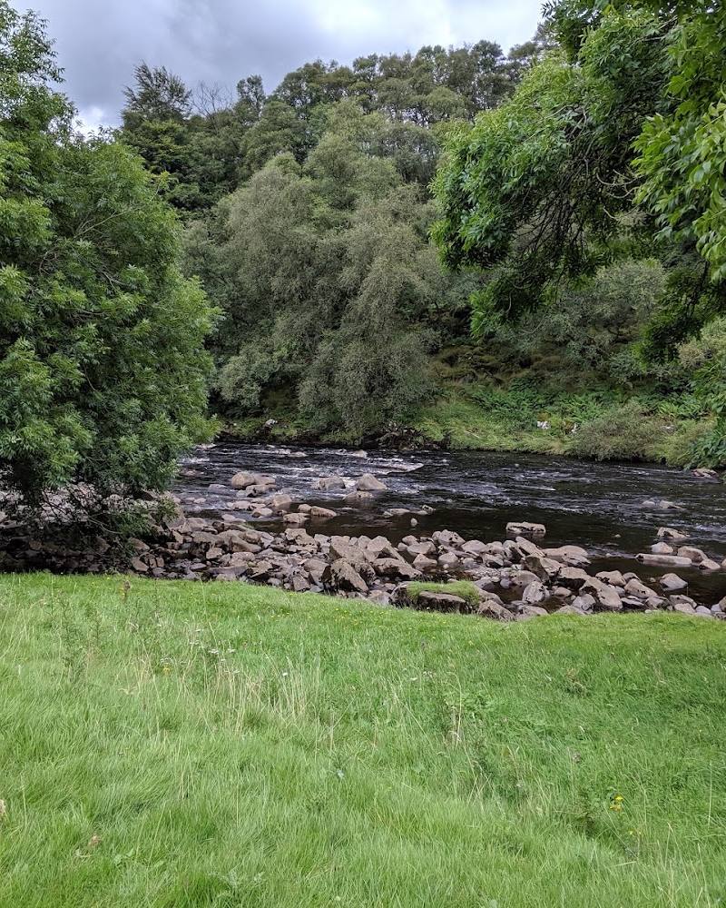
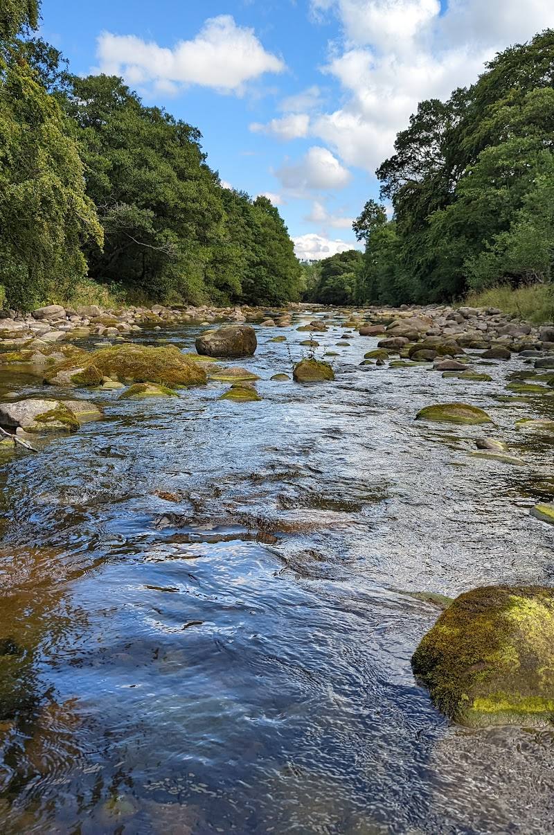
- River and gorge scenery
Worth pairing with
Garrigill village
A walk to Ashgill Force from Garrigill is described by the North Pennines National Landscape. AllTrails lists a longer circular route from the village, with rough sections and high stiles.
Nenthead Mines
Countryfile lists Nenthead Mines as a nearby heritage centre focused on the area's mining past. Check current opening and visitor information before planning a visit.
What to look for
- 01
Look for the high sandstone shelf, the old road bridge arching above the gorge, the path behind the waterfall and the lower cascades beyond the wooden footbridge. Countryfile also notes fossilised cockles in rocks along the nearby route
- 02
do not scramble on slippery river rocks to seek them.
The story
Industry
Best time to go
After rainfall for a stronger flow; winter can bring dramatic conditions, but ice, floods and slippery paths make the approach hazardous. Check conditions before visiting.
Consider visiting after rain for a fuller flow, but avoid the descent in flood or icy conditions. There is no verified quiet-time information; check weather and path conditions before travelling.
How long to spend
1–2 hours
Perfect for
Walkers · Photographers · History lovers
Before you go
Address
Phone
Listed hours
- Monday: Open 24 hours
- Tuesday: Open 24 hours
- Wednesday: Open 24 hours
- Thursday: Open 24 hours
- Friday: Open 24 hours
- Saturday: Open 24 hours
- Sunday: Open 24 hours
Check before visiting.
Google rating
Practical information
Opening & access
A path leads from the B6277 near Ashgill Bridge down to the waterfall; the North Pennines National Landscape also describes a walk from Garrigill. The descent is narrow and can be steep, muddy and slippery. Check conditions before setting out and take particular care near fast-flowing water. The accepted map pin marks the place, not an entrance or parking spot.
Check before visiting
Parking
The North Pennines National Landscape describes a small stony lay-by just before Ashgill Bridge on the B6277. Parking availability and restrictions are not confirmed; check before visiting. A visitor account also mentions parking near the bridge, but do not assume parking on the bridge is permitted.
Check before visiting
Toilets
Check before visiting.
Check before visiting
Food & drink
Check before visiting. Countryfile reported that Garrigill’s George and Dragon Inn had closed when its article was published; current food options are not verified.
Check before visiting
Dogs
Check before visiting. The circular walk includes high stiles and is described by AllTrails as not best suited to dogs.
Check before visiting
Accessibility
The approach includes a steep descent and uneven, slippery ground. The source listing reports no wheelchair-accessible entrance or car park. Not suitable for visitors who cannot manage this terrain; check current conditions before visiting.
Check before visiting
Cost
Check before visiting.
Check before visiting
Water
River
Gallery
Place photographsKeep exploring
Around Ashgill Force
Within 50 km · approximate straight-line distances