Upper Teesdale, near Barnard Castle, County Durham
Cow Green Reservoir
Reservoir
Place photograph
6.4
Wildland
1–2 hours
Time
Check
Cost
Wild
Feel
Why it's Wildland
6.4At the edge of the high Pennines, the broad reservoir and its dam sit close to the dramatic cascade of Cauldron Snout, where the River Tees tumbles down a long staircase of rocks.
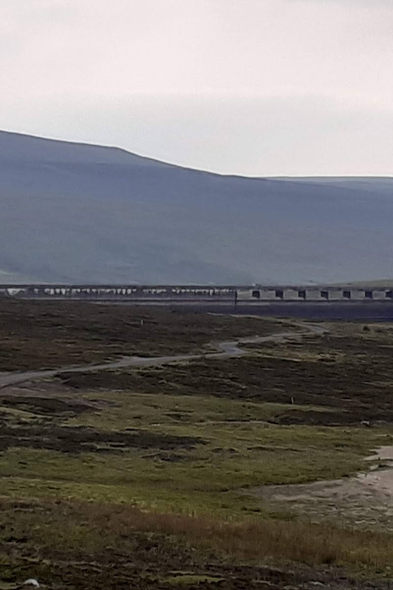
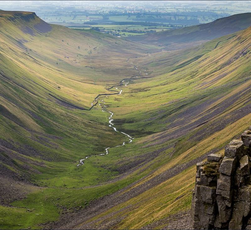
The appeal is the contrast: open, windswept moorland and reservoir views lead towards the rugged rock steps of Cauldron Snout. It offers a worthwhile waterside-and-waterfall walk, but exposed weather and rough or boggy ground call for sensible preparation.
Wild · Big-sky · Peaceful
Find your way
Open mapUpper Teesdale, near Barnard Castle, County Durham
Opening map…
Know this place a little better?
The experience
Keep the visit grounded in what the sources support: enjoy the reservoir and dam views, then walk towards Cauldron Snout if conditions and ability allow. The route is exposed, and the falls section can be rough or flooded.
Things to do
Walk towards the dam
Take in the reservoir and the exposed Upper Teesdale landscape from the walking route near the dam. Keep to permitted routes and do not enter restricted reservoir areas.
About 1–2 hours
Continue towards Cauldron Snout
A longer out-and-back walk leads from the reservoir area towards the rocky cascade. The route can be rough, boggy or flooded, so check conditions and turn back if needed.
About 3 hours return, allowing time for stops
Make a day of it
Quick escape · About 1–2 hours
Quick escape: reservoir and dam views
- 01
Start from the reservoir parking area, after checking current access and conditions.
- 02
Walk towards the dam and take in the open reservoir and surrounding moorland.
- 03
Return the way you came; do not enter the reservoir or restricted areas.
Half day · Allow around 3 hours, with extra time for conditions and stops
Make a half day of it: walk on to Cauldron Snout
- 01
Begin at the reservoir and follow the walking route towards the dam.
- 02
Continue towards Cauldron Snout only if the path and weather are suitable; visitors report that this section can be tricky or flooded.
- 03
Spend time viewing the rocky cascade, then retrace your route.
Verified history
A supplied attraction account says Cow Green Reservoir was built between 1967 and 1971 to regulate flows for Teesside industry. The account also describes the reservoir as lying on the historic boundary between County Durham and Cumbria.
When to go
May · June · July · August · September · A clear, relatively calm morning or early afternoon, allowing time to return before conditions worsen.
Longer daylight in late spring and summer gives more time for the walk towards Cauldron Snout. Wet or wintry weather can make the route difficult, and the open landscape can feel cold and exposed.
Expect exposure to wind; visitors report chilly conditions and boggy or flooded paths in wet weather. Check the forecast and local conditions, wear suitable footwear, and be prepared to turn back.
The route
- surface
- Visitors describe the route towards the falls as partly surfaced, with rough or boggy sections possible; conditions vary.
- distance
- About 1.5 miles each way to Cauldron Snout, as reported by visitors; confirm the route and conditions before setting out.
- duration
- About 3 hours return, allowing for stops and conditions.
- difficulty
- Moderate overall; the section towards the falls may be tricky, boggy or flooded.
- route shape
- Out and back
- start point
- Cow Green Reservoir visitor parking area; confirm current access and route information locally.
- parking start
- Parking near the reservoir is reported by visitors; check availability and any charges before travelling.
- shorter alternative
- Walk towards the dam for reservoir views, then return without continuing to Cauldron Snout.
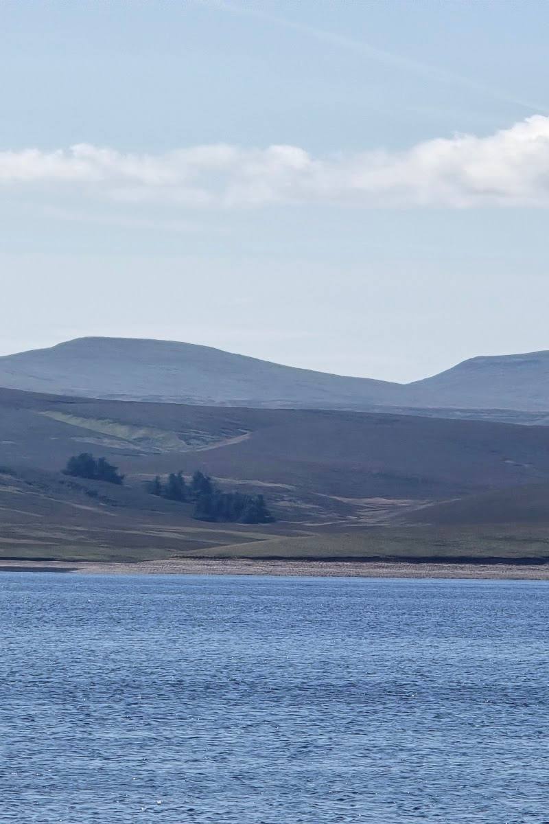
- Views across the reservoir and dam
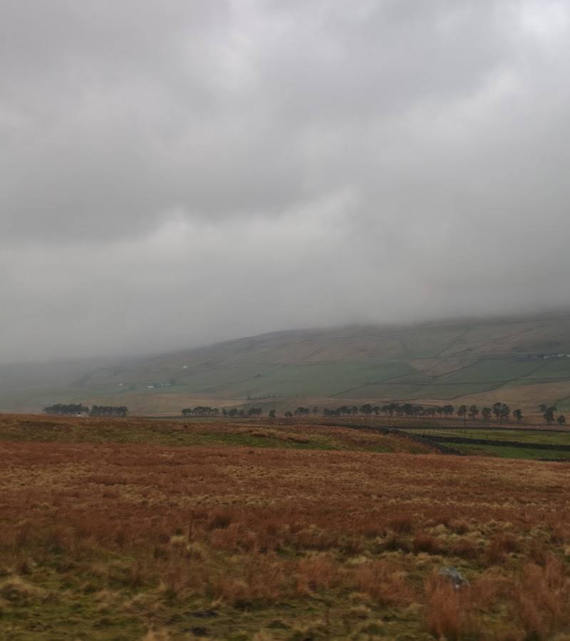
- Open Upper Teesdale moorland
- Cauldron Snout's rocky cascade
Worth pairing with
High Force
A major Teesdale waterfall listed by the supplied nearby-attractions source; a strong second stop for a waterfall-focused day in the area. Check access and current arrangements before travelling.
High Force Hotel
The nearby-attractions source describes this as a historic coaching inn in Upper Teesdale. Check current food service and opening details before making it part of your plan.
What to look for
Look across the open moorland to the reservoir and dam, then notice how the River Tees descends in a rocky staircase at Cauldron Snout.
The story
Reservoir construction and water management
Best time to go
May–September for longer daylight and generally easier walking conditions; check the forecast before travelling in any season.
Choose a clear, calm day for views across the open landscape. Wind and rain can make this exposed place feel much harsher, and the path towards the falls may become flooded.
How long to spend
1–2 hours
Perfect for
Walkers · Photographers · Wildlife lovers
Before you go
Address
Google rating
Practical information
Opening & access
A starting point for walks by the reservoir and towards Cauldron Snout. Reservoir entry is restricted; do not enter the water or restricted areas. Check current access and conditions before setting out.
Check before visiting
Parking
Visitor accounts report parking near the reservoir. Check current availability and any charges before travelling.
Check before visiting
Toilets
Visitor accounts mention basic toilets; check before visiting.
Check before visiting
Food & drink
Check before visiting.
Check before visiting
Dogs
Check before visiting and follow current signs and local access guidance.
Check before visiting
Accessibility
The approach towards the dam is described by visitors as relatively easy-going, but the onward route towards the falls can be tricky, flooded or boggy. Check conditions and route suitability before setting out.
Check before visiting
Cost
Check before visiting
Check before visiting
Water
Reservoir
Gallery
Place photographs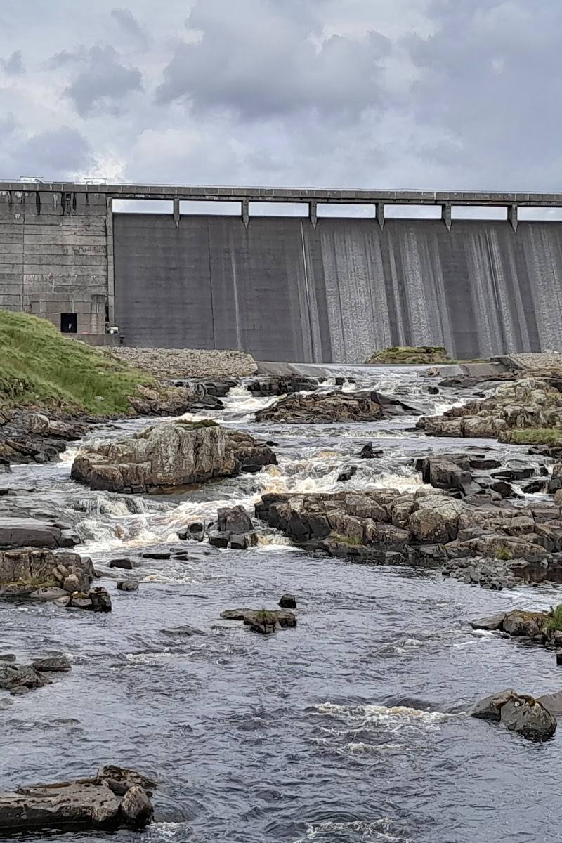
Keep exploring
Around Cow Green Reservoir
Within 50 km · approximate straight-line distances