7.2
Wildland
Half day
Time
Check
Cost
Dramatic
Feel
Why it's Wildland
7.2Three summits above the Llŷn coast lead to Tre’r Ceiri, a remarkably well-preserved Iron Age hillfort on a mountainside.
Yr Eifl brings together a three-peak hill walk, far-reaching sea and mountain views, and the stone-built remains of Tre’r Ceiri. The appeal is the combination: a demanding-feeling upland landscape above the coast, with an ancient fort waiting on one of its summits.
Dramatic · Wild · Atmospheric
Find your way
Open mapLlŷn Peninsula, Gwynedd
Opening map…
Know this place a little better?
The experience
Allow around four hours for the sourced 7.5 km circular walk from Llithfaen, which visits Tre’r Ceiri and the high summit of Garn Ganol. Expect a sustained climb, exposed terrain and changing views between the coast and mountains. Check the forecast and take suitable mountain-walking equipment.
Things to do
Explore Tre’r Ceiri hillfort
Visit the ancient hillfort on one of Yr Eifl’s summits. The route guide describes it as clearly preserved and notes informative boards at the site.
Allow time within the walk
Climb Garn Ganol
Reach the highest summit of the group, at 564 m according to the route guide, for a broad upland and coastal outlook.
Part of the approximately four-hour circular walk
Take in the peninsula-wide views
On a clear day, look across the Llŷn Peninsula towards the sea and the mountains beyond; distant views depend on visibility.
A pause during the walk
Make a day of it
Quick escape · About 1–2 hours; route and conditions vary
Quick summit-and-fort outing
- 01
Use a recognised starting point and follow a suitable route towards Tre’r Ceiri.
- 02
Explore the hillfort from the established path and take in the views if conditions allow.
- 03
Allow extra time for the climb and return; do not treat the walk as easy.
Half day · About 4 hours; 7.5 km
The three-peak circular walk
- 01
Start from Llithfaen village car park, as described in the route guide.
- 02
Follow the circular route via Caergribin and Tre’r Ceiri.
- 03
Explore the hillfort and its noticeboards, then continue towards Garn Ganol for the high-point views.
- 04
Return by the described descent, allowing for rough and steep sections.
Verified history
Tre’r Ceiri is an Iron Age hillfort on one of Yr Eifl’s summits. The route guide dates its construction to around 200 BC and describes the remains as clearly preserved. Its name is translated there as “Town of the Giants”; that translation is not evidence that the giants are historical.
Folklore & legend
The name Tre’r Ceiri is translated as “Town of the Giants”. Giants belong to the name’s legendary association, not to the verified history of the hillfort.
Hidden details
The hillfort’s summit setting — Notice how Tre’r Ceiri’s stone remains occupy a high, exposed position with wide views over land and sea.
Granite’s journey from Garn For — The route guide reports that Garn For was extensively quarried and that its granite was used for paving and curling stones. The source does not identify particular surviving examples to look for on the mountain.
When to go
· Choose a clear-weather period and check the mountain forecast before setting out.
The supplied sources describe the route and views but do not establish a best month or seasonal wildlife peak.
The route guide advises checking the weather and carrying waterproofs, spare layers, food, water, map, compass, phone and whistle. Exposed mountain conditions can change; plan accordingly.
The route
- stiles
- A stile is described on the route
- surface
- Mountain paths and rough, uneven ground
- distance
- 7.5 km
- duration
- Approximately 4 hours
- difficulty
- Moderate to challenging; steep or scrambling sections may occur
- waymarking
- Check route details before setting out
- route shape
- Circular
- start point
- Llithfaen village car park
- parking start
- The route guide identifies Llithfaen village car park; verify current arrangements.
- shorter alternative
- A shorter walk to Tre’r Ceiri is mentioned in visitor information, but a verified route description is not supplied here; check route details before choosing it.
- Tre’r Ceiri Iron Age hillfort
- Garn Ganol, the highest summit of the group
- Views across the Llŷn Peninsula, coast and distant mountains on clear days
Worth pairing with
Nant Gwrtheyrn
A nearby Welsh-language centre on the coast, mentioned in the regional guide alongside Caffi Meinir. Check current opening and access details before planning a visit.
Trefor and its coastal path
A coastal outing beneath Yr Eifl, with a harbour and a walking route towards Trefor Sea Stacks described in the regional guide.
What to look for
At Tre’r Ceiri, look closely at the surviving stone walls and the setting of the hillfort on the summit. From higher ground, scan across the Llŷn Peninsula, the sea and, on clear days, towards Eryri and other distant ranges.
The story
Iron Age archaeology
Best time to go
Check conditions before visiting; clear, settled weather gives the best chance of far-reaching views.
Choose a clear, settled day for the broadest views. Mountain weather can change; check conditions and carry suitable clothing and navigation equipment.
How long to spend
Half day
Perfect for
Walkers · Photographers · History lovers
Before you go
Address
Practical information
Opening & access
A hill walk is described from Llithfaen village car park, with an alternative start from Trefor. The routes climb over rough, sometimes steep ground; check current access and conditions before setting out. Access arrangements are unconfirmed. Check before visiting; do not enter private land or restricted structures.
Check before visiting
Parking
A route source identifies Llithfaen village car park as a starting point. Check current parking arrangements before travelling.
Check before visiting
Toilets
Check before visiting
Check before visiting
Food & drink
Check before visiting
Check before visiting
Dogs
Check current access guidance and local signage before visiting.
Check before visiting
Accessibility
A mountain walk over uneven and sometimes steep ground; some sections may require scrambling. Not suitable for assuming step-free access.
Cost
Check before visiting
Check before visiting
Gallery
Place photographs
Keep exploring
Around Yr Eifl
Within 50 km · approximate straight-line distances
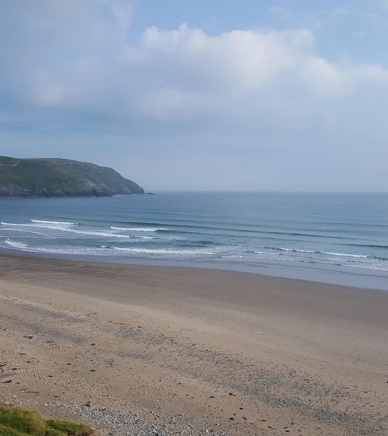 Place photograph7.8
Porth Neigwl (Hell’s Mouth)
Llanengan, near Pwllheli, Llŷn Peninsula, Gwynedd LL53 7LG
13.9 km away
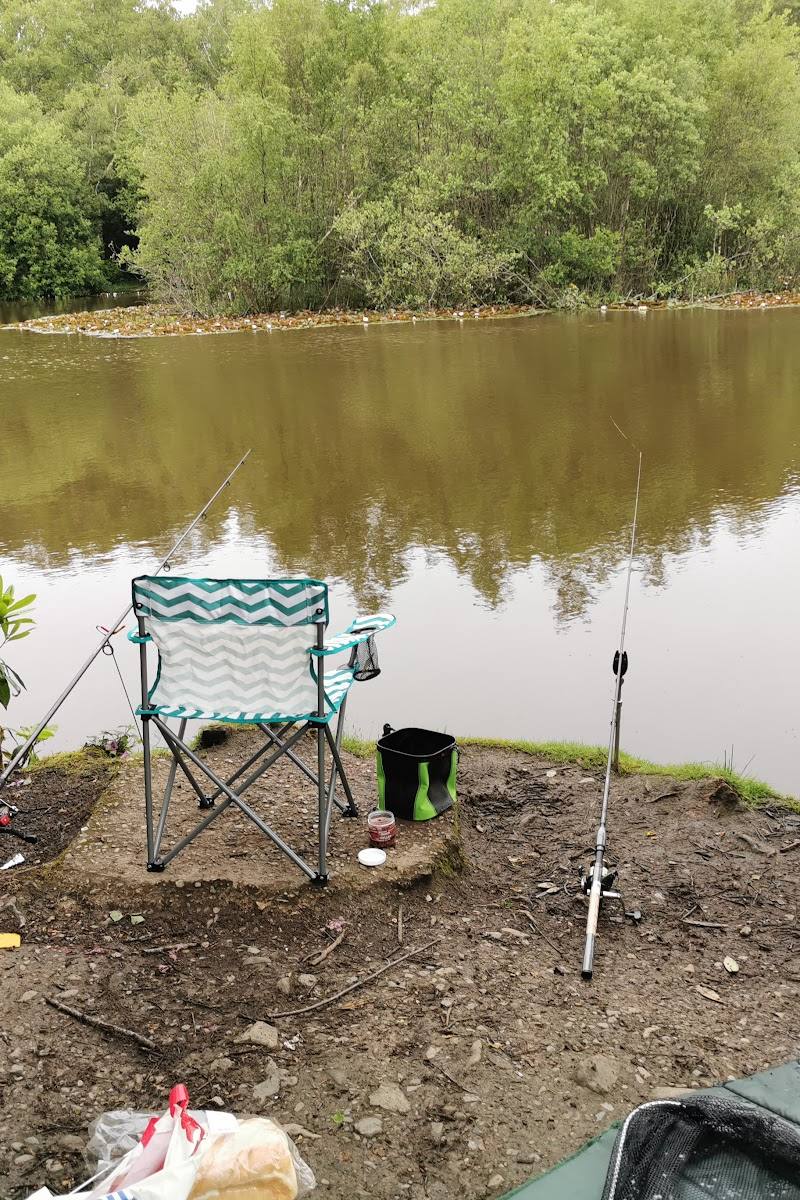 Place photograph6.6
Bron Eifion Fishing Lakes & Lodges
Near Criccieth, Gwynedd, North Wales
20.5 km away