Llanengan, near Pwllheli, Llŷn Peninsula, Gwynedd LL53 7LG
Porth Neigwl (Hell’s Mouth)
Beach
Place photograph
7.8
Wildland
1–2 hours
Time
Check
Cost
Wild
Feel
Why it's Wildland
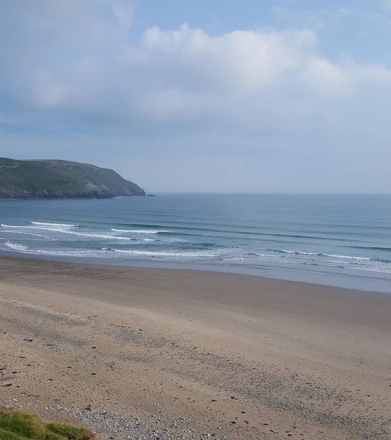
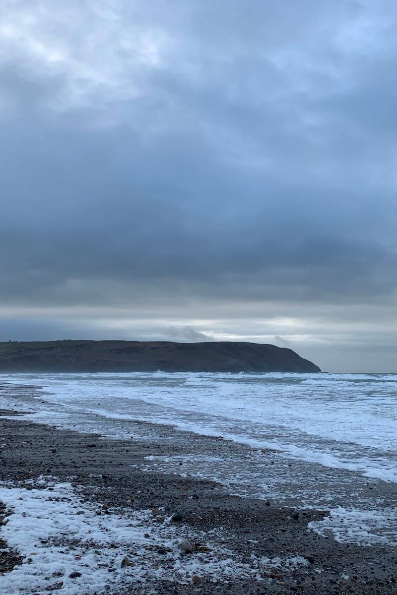
7.8A four-mile sweep of golden sand and scattered pebbles curves into a south-west-facing bay beneath craggy headlands. Its English name suits both the semicircular shape and the exposed coast, where Atlantic swell brings powerful surf.
The scale and exposed, headland-framed setting make this more than a quick beach stop: at low tide, the shoreline opens into a long stretch of sand, while the wind and surf give the bay a properly wild edge. Its currents, breaking waves and unstable cliffs demand caution.
Wild · Dramatic · Big-sky
Find your way
Open mapLlanengan, near Pwllheli, Llŷn Peninsula, Gwynedd LL53 7LG
Opening map…
Know this place a little better?
The experience
Allow time for a beach walk and to take in the full curve of the bay. The sand is reported to extend for about four miles, with pebbles along the shore; conditions and the available beach width vary with tide. This is an exposed coast, not a sheltered swimming beach.
Things to do
Walk the broad shoreline
Explore a section of the long beach and look back across the semicircular bay to its framing headlands. The beach is reported to extend about four miles; choose a distance to suit conditions and your time.
1–2 hours
Notice the changing shore
At high tide the beach is reported to be pebbly; at low tide, broad expanses of sand are exposed. Check tide information before visiting, as the safe and walkable area changes.
Take in the headland-framed bay
From the beach, look along the curve of the bay and consider how its shape inspired the English name Hell’s Mouth. The supplied visitor information also links the name to the exposed south-westerly aspect.
Make a day of it
Quick escape · 1–2 hours
Walk the sweep of Hell’s Mouth
- 01
Start from the small car park and follow the footpath to the beach.
- 02
Walk a section of the shoreline, taking in the curve of the bay and its headlands.
- 03
Check tide and sea conditions before you go; stay well back from unstable cliffs and their base.
Hidden details
The name has a double explanation — Visit Snowdonia says the English name refers both to the bay’s wide, open-mouth shape and to its exposed south-westerly aspect, which offers little shelter to sailors.
When to go
· Check tide and coastal conditions before visiting; no best time of day is established by the supplied sources.
The supplied sources do not establish a best season. Conditions at this exposed beach can be hazardous, so check current coastal safety information before setting out.
The beach is exposed to south-westerly conditions. The supplied safety notice warns of strong currents, large breaking waves, steep shelving with deep water at high tide, unstable cliffs and hazards from strong winds.
What to look for
Notice how the semicircular bay is enclosed by craggy headlands, and how the shore changes from pebbly at high tide to broad expanses of sand at low tide. Keep clear of unstable cliff edges and their base.
Best time to go
Check coastal conditions before visiting; the supplied sources do not identify a best season.
Check the tide and coastal conditions before setting out. The supplied sources give no best time of day.
How long to spend
1–2 hours
Perfect for
Walkers · Photographers · Dogs
Before you go
Address
Google rating
Practical information
Opening & access
A beach reached by a footpath from a small car park; parking is limited. Check conditions and access before travelling.
Check before visiting
Parking
Small, limited car park; a short footpath leads to the beach. Check current parking arrangements before visiting.
Check before visiting
Toilets
Check before visiting
Check before visiting
Food & drink
Check before visiting
Check before visiting
Dogs
One supplied source reports year-round dog access; confirm current local rules and signage before visiting.
Accessibility
A footpath leads from the car park to the beach. Further accessibility information is not available in the supplied sources; check before visiting.
Check before visiting
Cost
Check before visiting
Check before visiting
Water
Sea
Gallery
Place photographs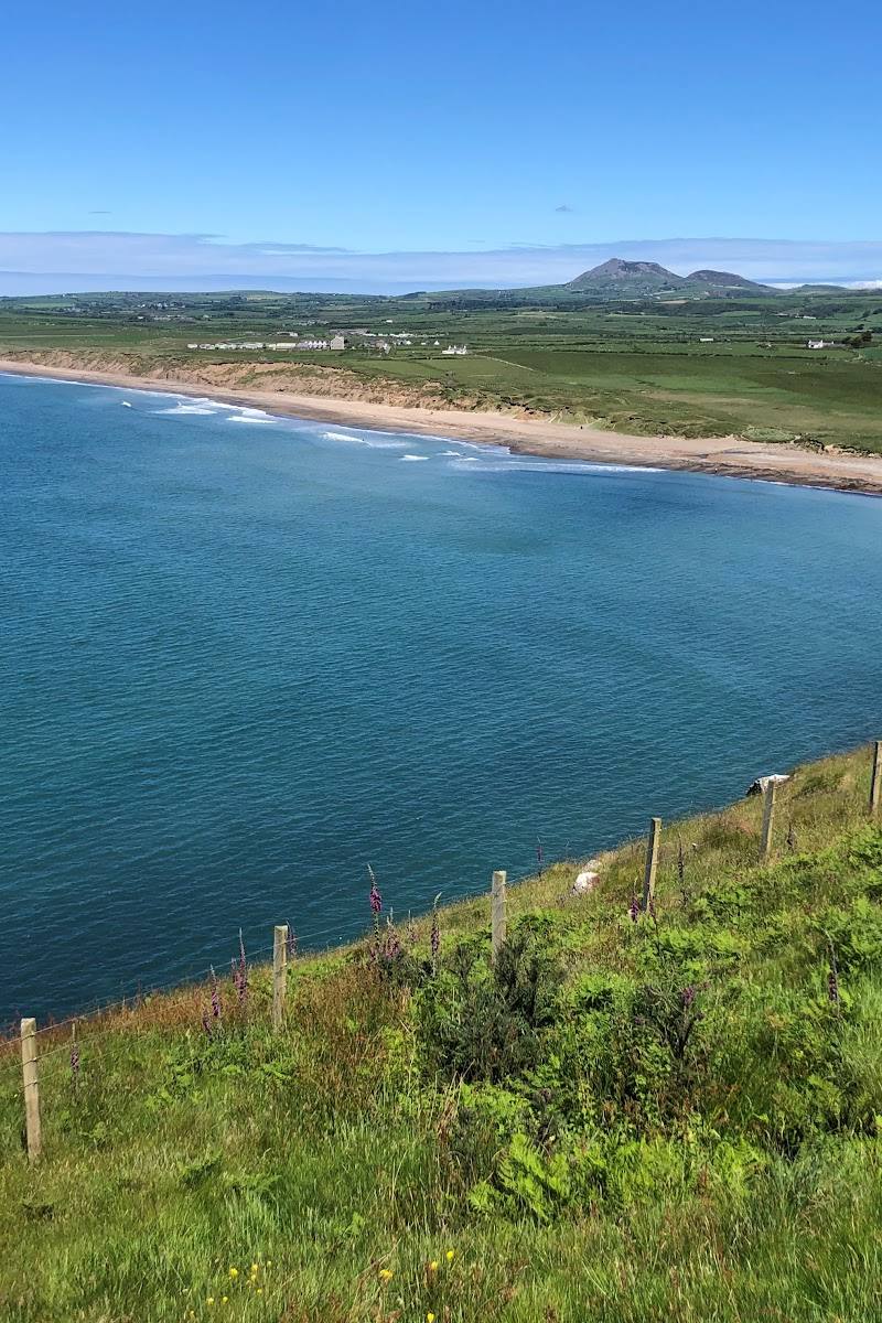
Keep exploring
Around Porth Neigwl (Hell’s Mouth)
Within 50 km · approximate straight-line distances
 Place photograph6.6
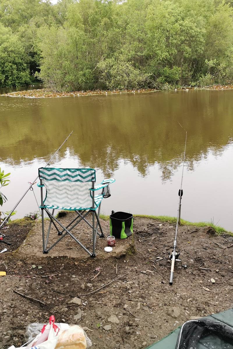
Bron Eifion Fishing Lakes & Lodges
Near Criccieth, Gwynedd, North Wales
24.1 km away
 Place photograph9.1
Forest Holidays Beddgelert
A4085, Beddgelert, Caernarfon, LL55 4UU, Wales
37.1 km away