Woodford Valley, Wiltshire, between Amesbury and Salisbury
Wilsford cum Lake
Historic village
Place photograph
5.1
Wildland
Half day
Time
Check
Cost
Peaceful
Feel
Why it's Wildland
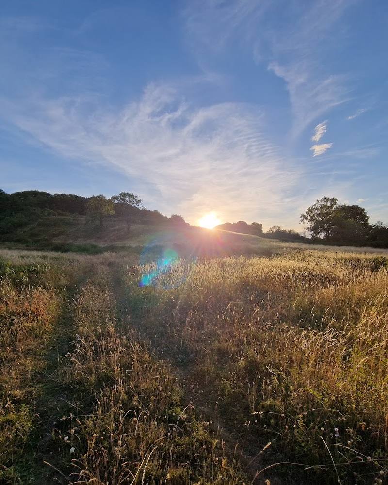
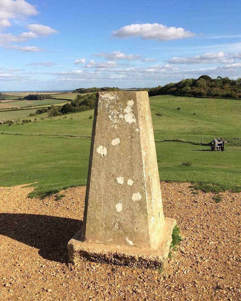
5.1In Wilsford cum Lake, a quiet Wiltshire valley meets a dense prehistoric landscape: barrow-lined downs and ancient tracks lead towards the Stonehenge landscape, while the River Avon runs along the parish.
The village itself is not a managed visitor attraction, but it sits within a compelling landscape of river meadows, chalk downs and prehistoric earthworks. Its appeal is in exploring the wider valley on confirmed public paths and noticing how its settlements, archaeology and working countryside fit together.
Peaceful · Ancient-feeling · Big-sky
Find your way
Open mapWoodford Valley, Wiltshire, between Amesbury and Salisbury
Opening map…
Know this place a little better?
The experience
Treat Wilsford cum Lake as a countryside and heritage landscape, not as a lake destination or a single formal attraction. Explore only confirmed public rights of way, taking in the valley setting and the wider story of the downs and barrows. Do not assume that the river or archaeological sites are open for recreation.
Things to do
Explore the Avon valley on a confirmed public path
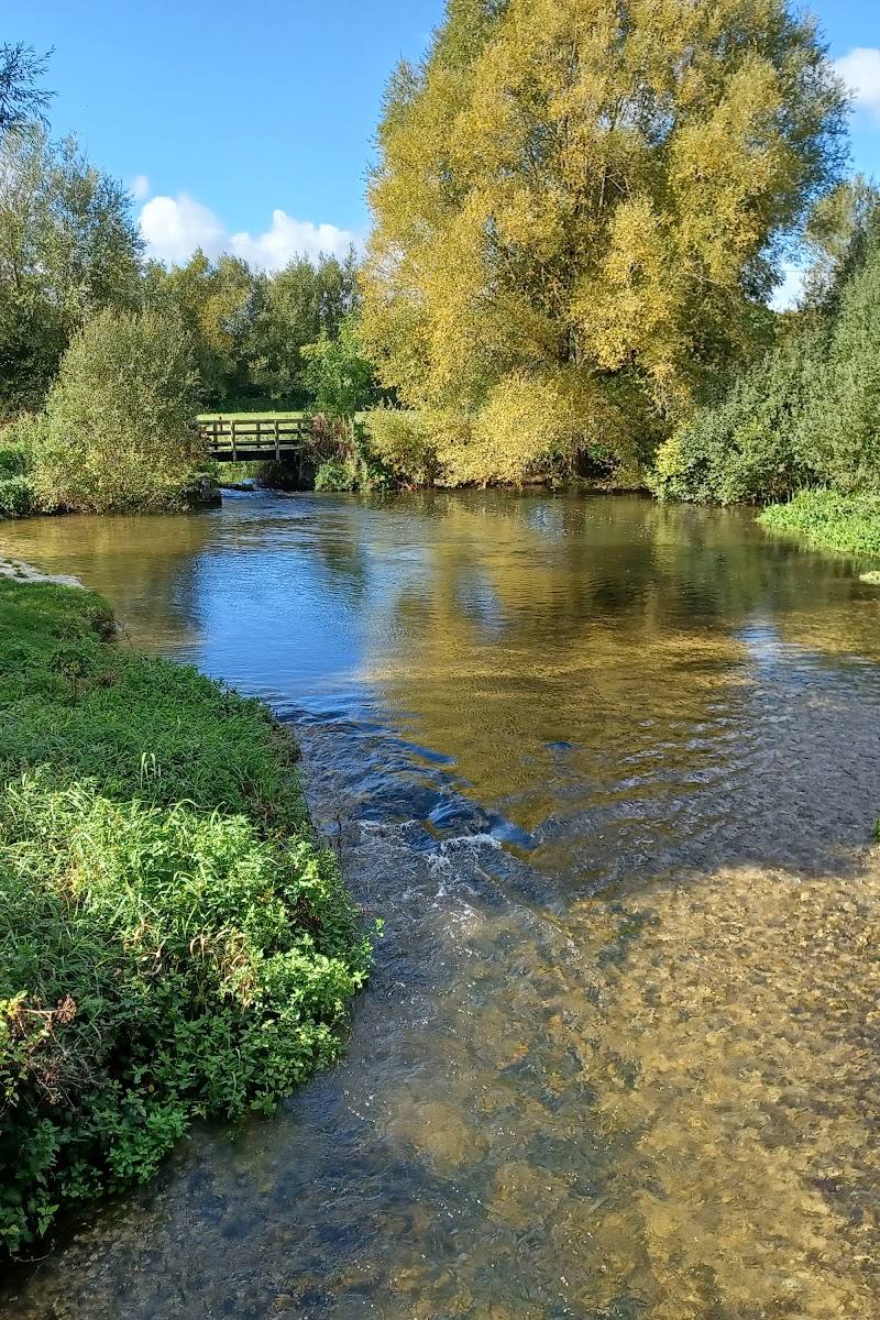
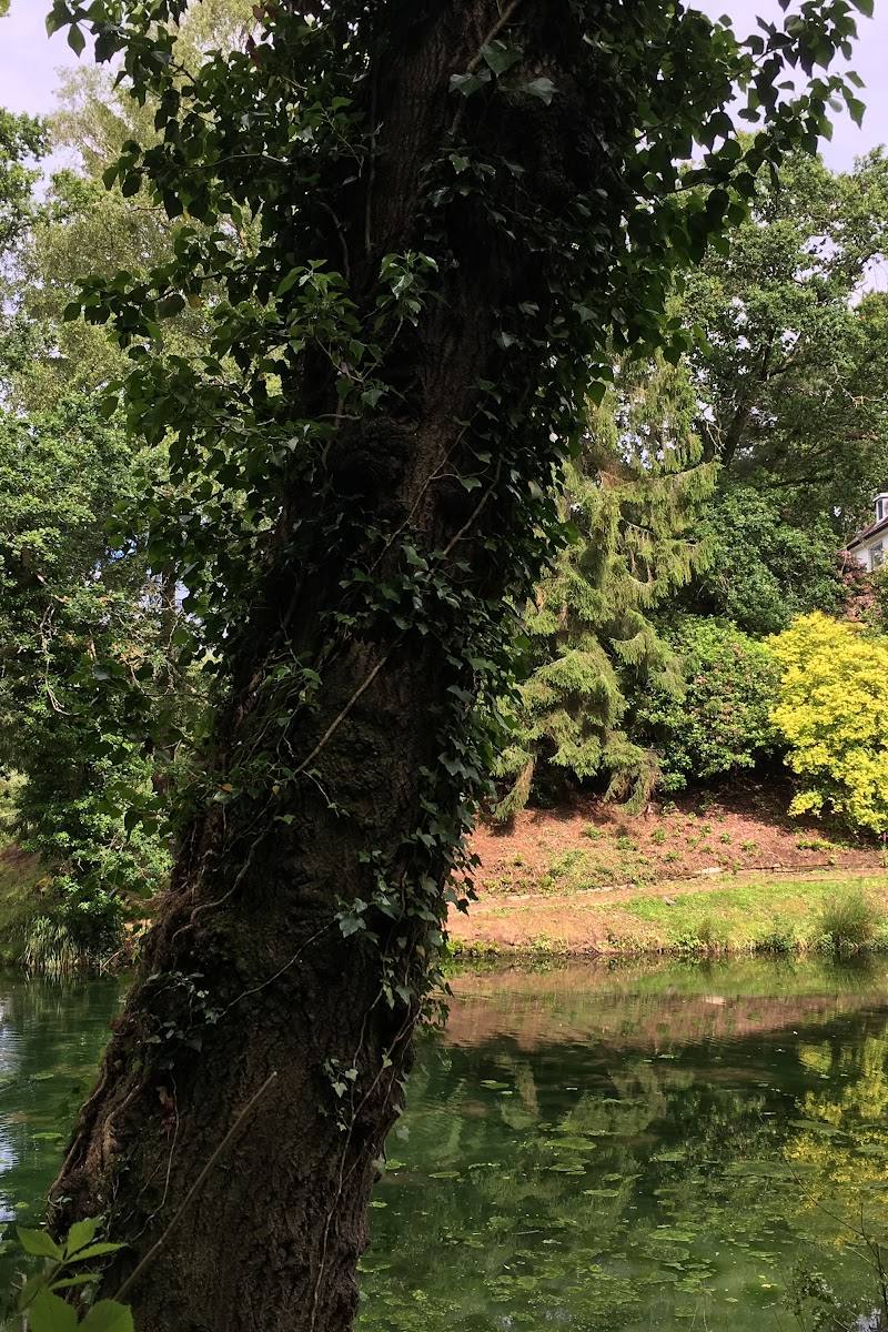
The parish follows the River Avon, with meadows along the valley floor and downland rising to the west. Use a current rights-of-way map and check path conditions before walking.
Look towards the barrow landscape
The parish sources describe extensive barrows on the surrounding downs and ancient tracks converging towards Stonehenge. Observe from an accessible public route; access to individual monuments is not established here.
Visit St Michael’s Church
The parish church is identified by Wiltshire Council as St Michael’s, Wilsford cum Lake. Check whether it is open to visitors before making a special journey.
Make a day of it
Quick escape · 1–2 hours
A short look at the village and valley
- 01
Check current access and identify a confirmed public route before setting out.
- 02
Explore the village setting and the Avon valley from public roads or rights of way.
- 03
Notice the change from river-side meadows to chalk downland.
Half day · Half day
Make a half day of the valley and its archaeology
- 01
Plan a walk using verified public rights of way in the parish; check for closures or blocked paths before departure.
- 02
Take in the downs and the wider prehistoric landscape, including barrows where they are visible from an accessible route.
- 03
Finish with a separate visit to Stonehenge only if you have checked its current visitor arrangements.
Verified history
Wilsford cum Lake is an ancient parish in the Woodford Valley, formed from the settlements of Wilsford, Lake and Normanton. Wiltshire Council describes more than 120 barrows on the valley downs and ancient tracks leading towards Stonehenge. The parish’s history also includes Bronze Age finds, an early Iron Age settlement on Rox Hill, medieval references to Wilsford and Lake in Domesday Book, and a church recorded at Wilsford in 1053.
Folklore & legend
No specific local legend is established by the supplied sources. The area’s archaeological connection with Stonehenge is a documented heritage context, not evidence of a particular folklore claim.
Hidden details
Tracks and barrows converge towards Stonehenge — Wiltshire Council describes ancient tracks lined with barrows running through the Lake and Wilsford downs and converging on Stonehenge. Their visibility and access depend on the route; do not cross private land.
A landscape of river meadows and chalk — The parish is not only downland: the council account describes a narrow strip of river alluvium and valley gravel beside the meandering Avon, set below chalk land rising to Rox Hill.
When to go
April · May · June · September · A clear morning or afternoon, when the landscape is easier to read across the valley and downs.
The sources establish a countryside setting and walking interest but do not identify a specific seasonal wildlife or flower spectacle. Spring to early autumn is a practical broad window for countryside exploration, subject to current path conditions.
Check the forecast and current path conditions. Exposed downland can be more affected by wind and rain than sheltered village lanes.
Worth pairing with
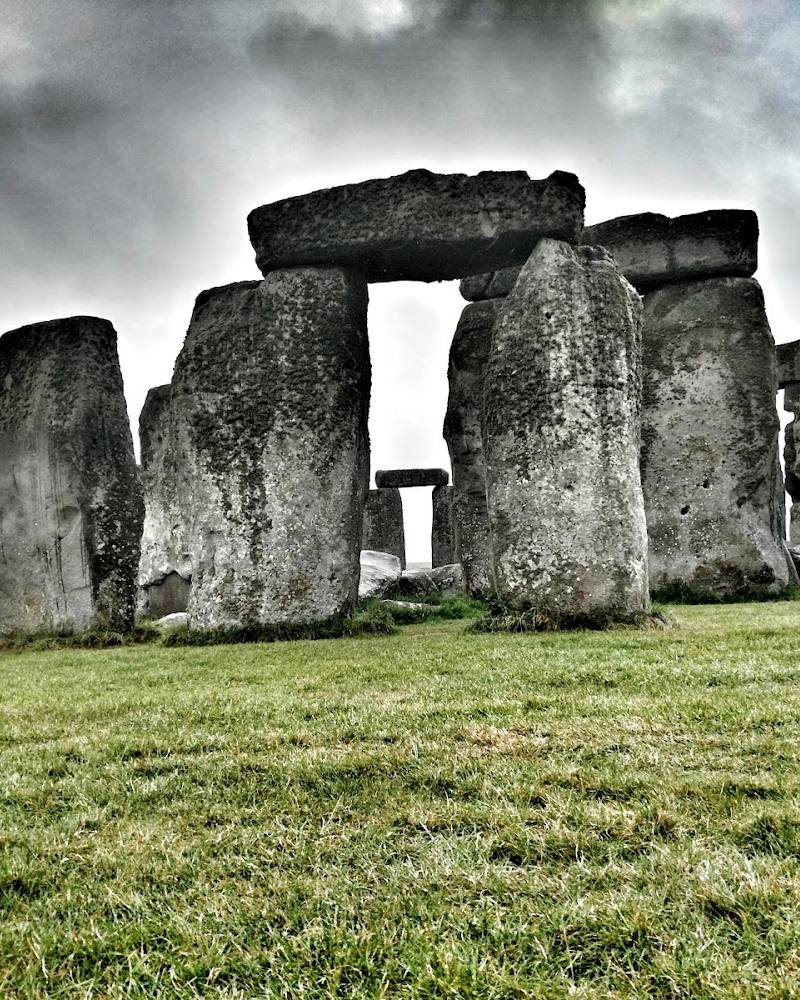
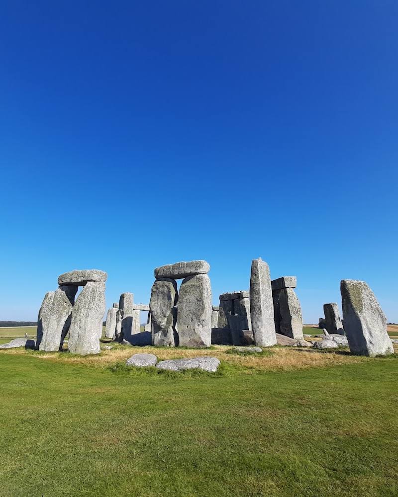
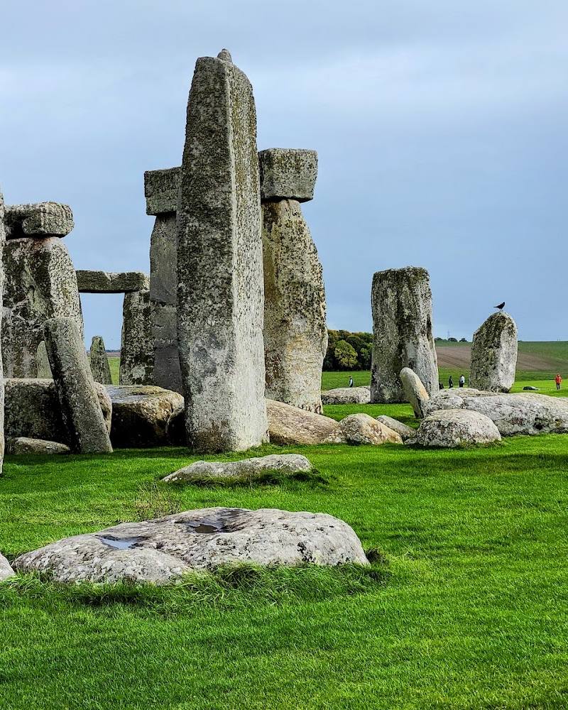
Stonehenge
Pair the parish’s prehistoric landscape with a separately planned visit to Stonehenge. Check current access, tickets and visitor arrangements directly before travelling.
Bush Barrow and Wiltshire Museum
A local account connects Bush Barrow in the Wilsford landscape with finds displayed at Wiltshire Museum. Check the monument’s access and the museum’s current opening arrangements before planning a visit.
What to look for
Look for the contrast between the Avon-side meadows and the rising chalk downs, and for barrows and ancient trackways in the wider landscape. Do not leave public paths to approach monuments or private land.
The story
Archaeology; Bronze Age barrows; Stonehenge landscape; rural and river-valley history
Best time to go
Spring to early autumn for countryside walks; check path conditions and access before setting out.
Choose a clear, settled day for views across the valley and downs. Confirm path conditions and access locally before setting out.
How long to spend
Half day
Perfect for
Walkers · History lovers · Photographers
Practical information
Opening & access
A rural parish of small settlements and countryside. Public rights of way are described in the supplied sources, but access to individual paths, historic sites and private land should be checked before visiting.
Check before visiting
Parking
No nearby parking is confirmed in the source row. Check before visiting.
Check before visiting
Toilets
Check before visiting
Check before visiting
Food & drink
Check before visiting; the supplied source lists pubs in the wider Woodford Valley but does not confirm their current opening or availability.
Check before visiting
Dogs
The source row marks the place dog-friendly, but local path restrictions and livestock guidance should be checked before visiting.
Check before visiting
Accessibility
No step-free access or route accessibility information is confirmed. Countryside paths may vary; check route details before visiting.
Check before visiting
Cost
Check before visiting
Check before visiting
Water
River
Gallery
Place photographsKeep exploring
Around Wilsford cum Lake
Within 50 km · approximate straight-line distances