7.2
Wildland
Half day, Full day
Time
Check
Cost
Wild
Feel
Why it's Wildland
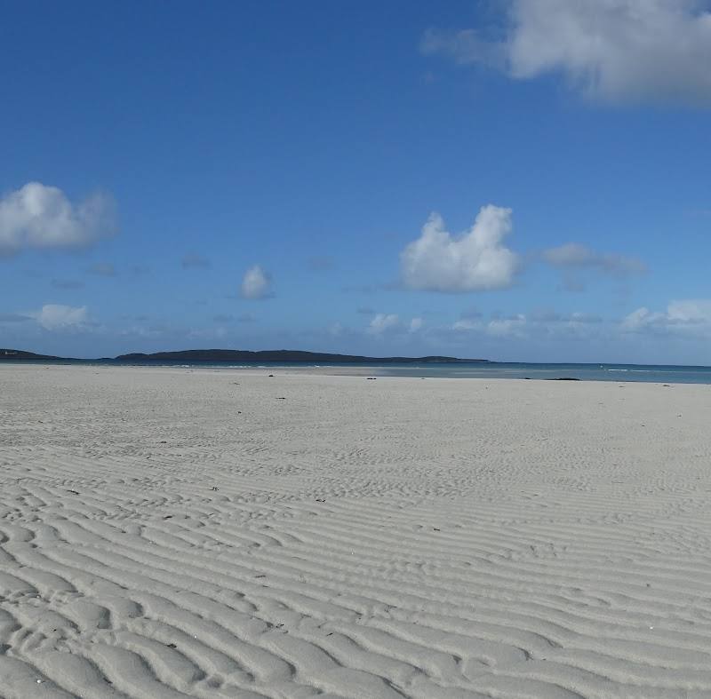
7.2At the southern edge of the inhabited Outer Hebrides, Vatersay brings together pale-sand beaches, open coastal scenery and traces of a dramatic wartime past.
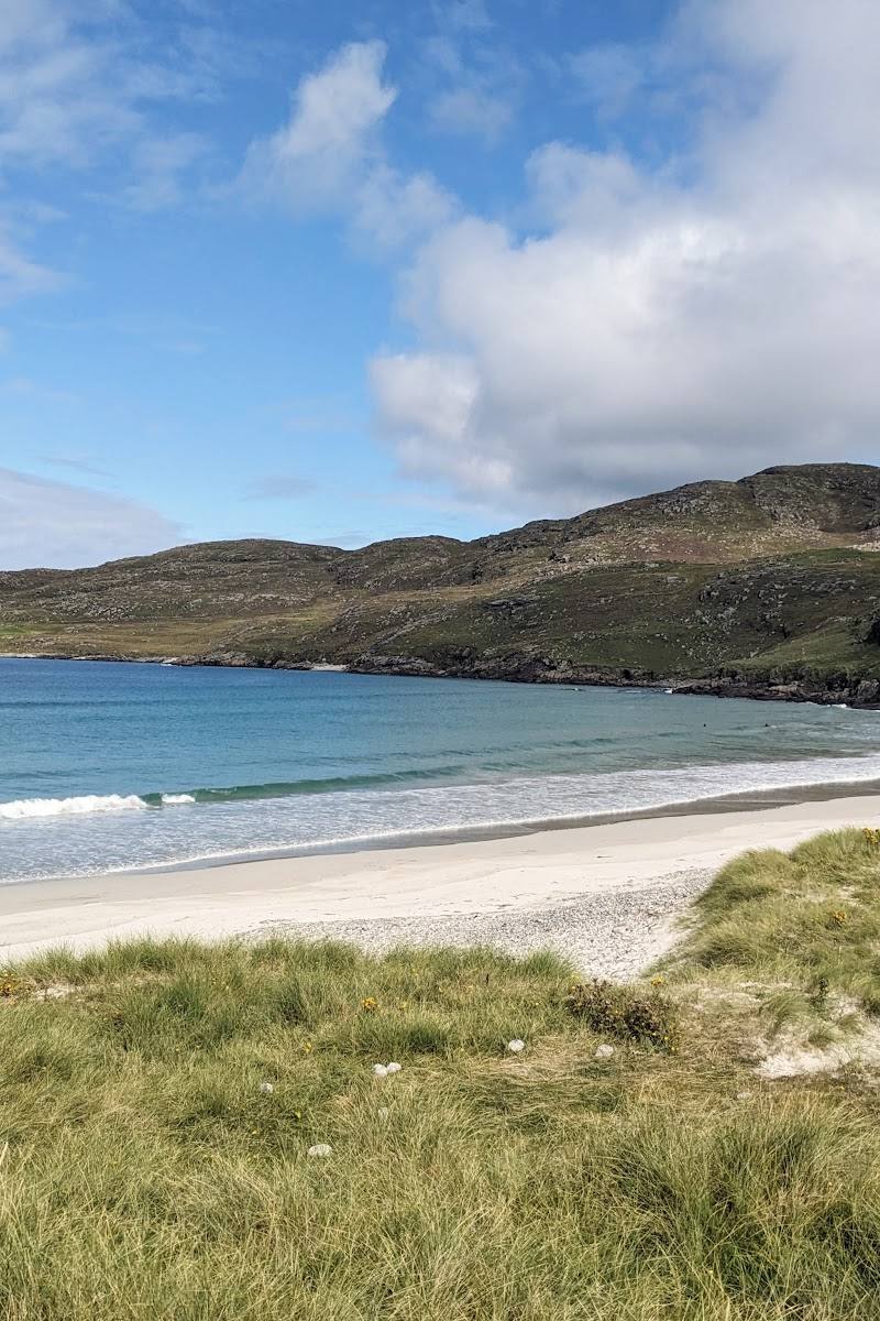
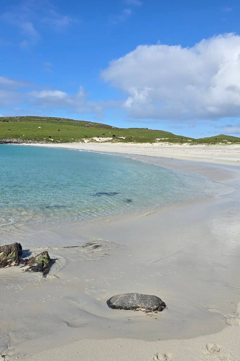
Vatersay’s appeal is the contrast: quiet island roads and open coastal walking lead between white-sand beaches, while memorials and aircraft wreckage give the landscape a human story. It offers a substantial island day out without needing a long-distance trail.
Wild · Peaceful · Big-sky · Atmospheric
Find your way
Open mapVatersay, Outer Hebrides, Scotland
Opening map…
Know this place a little better?
The experience
Explore Vatersay’s beaches and coastal scenery on foot, with time for its memorials and historic traces. A short beach loop is one sourced way to experience the island; allow longer to explore at an unhurried pace.
Things to do
Walk the Vatersay beach loop
A 4.89 km coastal loop linking Vatersay’s beaches. The route source estimates about 1 hour 14 minutes and 40 m of ascent; it also notes off-grid segments and potentially limited navigation instructions.
About 1 hour 15 minutes
Compare the two beach settings
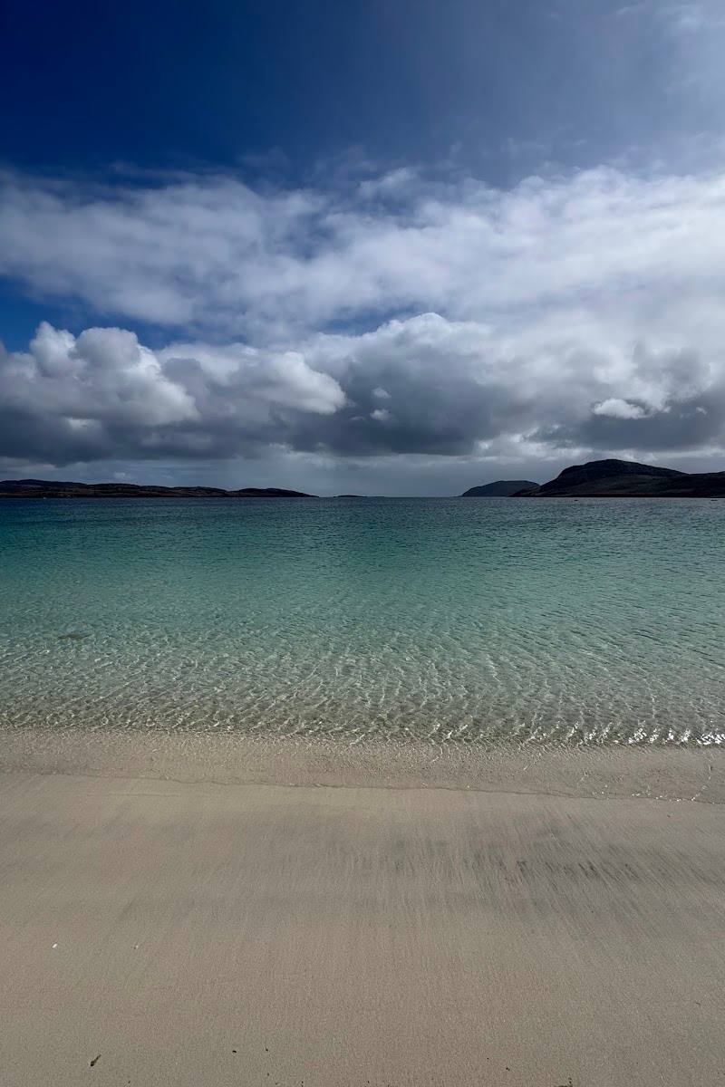
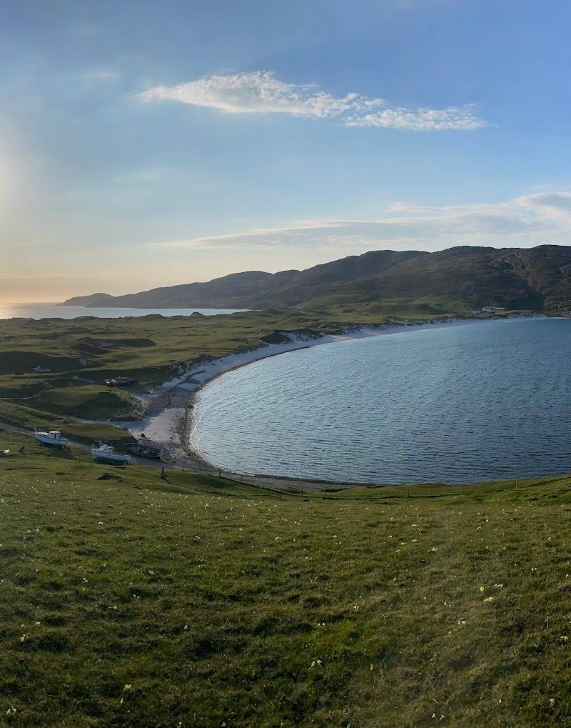
The route source describes Traigh Shiar as wave-facing and contrasts it with Traigh a Bhaigh on the other side. Take time to notice how the shorelines differ.
Visit the Catalina Memorial
A travel guide identifies the memorial and describes surviving wreckage from a WWII RAF Catalina flying boat that crashed on the Vatersay hillside.
Make a day of it
Quick escape · About 1 hour 15 minutes
A short beach loop
- 01
Start at the route’s marked parking and start point.
- 02
Follow the 4.89 km loop between Vatersay’s beaches.
- 03
Pause at Traigh Shiar and compare its wave-facing shore with Traigh a Bhaigh.
- 04
Return to the start; check navigation and conditions because the route includes off-grid segments.
Half day · Half day
Make a half day of Vatersay
- 01
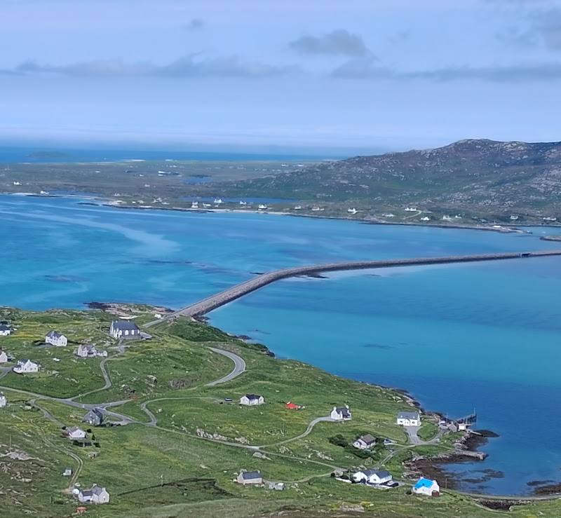
Take the causeway from Barra to Vatersay.
- 02
Explore the beaches and coastal landscape on foot, using the sourced beach loop as a starting point.
- 03
Visit the Catalina Memorial and look at the surviving aircraft wreckage described by the travel guide.
- 04
Leave time to pause at the shore; check local conditions and food availability before travelling.
Full Wildland day · Full day
A full island day with Barra
- 01
Begin on Vatersay with the beach loop and time to explore the contrasting shores.
- 02
Visit the Catalina Memorial and reflect on the island’s wartime history.
- 03
Continue your island day on Barra, which is connected to Vatersay by causeway.
- 04
Choose further Barra stops using current local information; the supplied sources do not establish a specific itinerary or opening details.
Verified history
A travel guide identifies a Catalina Memorial on Vatersay and describes wreckage from an RAF Catalina flying boat that crashed on the hillside during the Second World War. The supplied source excerpt does not provide the crash date or further detail, so those are not stated here.
Hidden details
Look for the Catalina wreckage — The Catalina Memorial is associated with surviving wreckage from the aircraft described in the travel guide. Treat it as a memorial and follow any local guidance.
Notice the change in the shore — The route description contrasts wave-facing Traigh Shiar with Traigh a Bhaigh across the island. The differing exposure makes a useful detail to look for on the loop.
When to go
June · July · August · Daylight hours, leaving enough time for the coastal loop and island stops.
A supplied travel guide describes a summer visit, while the route and beach setting make daylight useful for exploring. No source establishes a specific seasonal wildlife or flowering peak.
Check the local forecast and coastal conditions before walking. The route source notes off-grid sections and potentially limited navigation guidance.
The route
- ascent
- 40 m
- distance
- 4.89 km
- duration
- About 1 hour 14 minutes
- difficulty
- Moderate (as labelled by the route source)
- waymarking
- The route source warns that navigation instructions may be limited and that sections are off-grid.
- route shape
- Loop
- start point
- The route source marks a start point and parking; confirm the location and arrangements before setting out.
- parking start
- Parking is shown at the route start in the supplied route listing. Check current local arrangements.
- Traigh Shiar
- Traigh a Bhaigh
- Coastal scenery
Worth pairing with
Barra
Vatersay is connected to Barra by causeway, making the neighbouring island a natural extension to a day here. Check current local information to plan specific stops.
What to look for
Look for the Catalina aircraft wreckage associated with the island’s WWII memorial, and notice the contrast between Traigh Shiar’s wave-facing shore and Traigh a Bhaigh on the other side.
The story
Aviation, Maritime, War & battle
Best time to go
Summer for longer daylight and a chance to explore the beaches and island on foot; check conditions before setting out in any season.
Summer offers longer daylight for exploring. Choose a calm, clear spell if you want to linger by the shore, and check local weather and conditions before setting out.
How long to spend
Half day, Full day
Perfect for
Walkers · Photographers · History lovers · Wildlife lovers · Couples
Before you go
Google rating
Practical information
Opening & access
Reached from Barra by causeway. Check local access and conditions before visiting; beach and coastal conditions can change.
Check before visiting
Parking
The supplied route source marks a start point with parking. Check local arrangements before travelling.
Check before visiting
Toilets
Check before visiting
Check before visiting
Food & drink
A travel guide mentions traybakes on Vatersay; check current availability before visiting.
Check before visiting
Dogs
Check local guidance before visiting.
Check before visiting
Accessibility
A causeway connects Vatersay with Barra. The supplied beach-loop route is described as 4.89 km with 40 m of ascent, but includes off-grid segments and may have limited navigation instructions. Check route conditions and suitability before setting out.
Check before visiting
Cost
Check before visiting
Check before visiting
Water
Sea
Gallery
Place photographs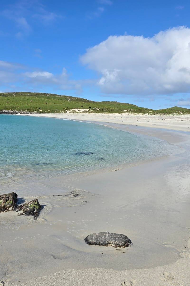
Keep exploring
Around Vatersay
Within 50 km · approximate straight-line distances