Eolaigearraidh, Isle of Barra, Outer Hebrides, Scotland, HS9 5YD
Eolaigearraidh Beach
Beach
Place photograph
5.7
Wildland
1–2 hours
Time
Check
Cost
Peaceful
Feel
Why it's Wildland
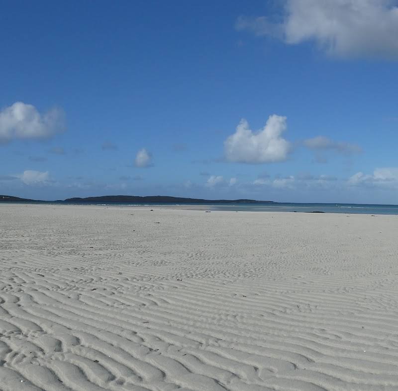
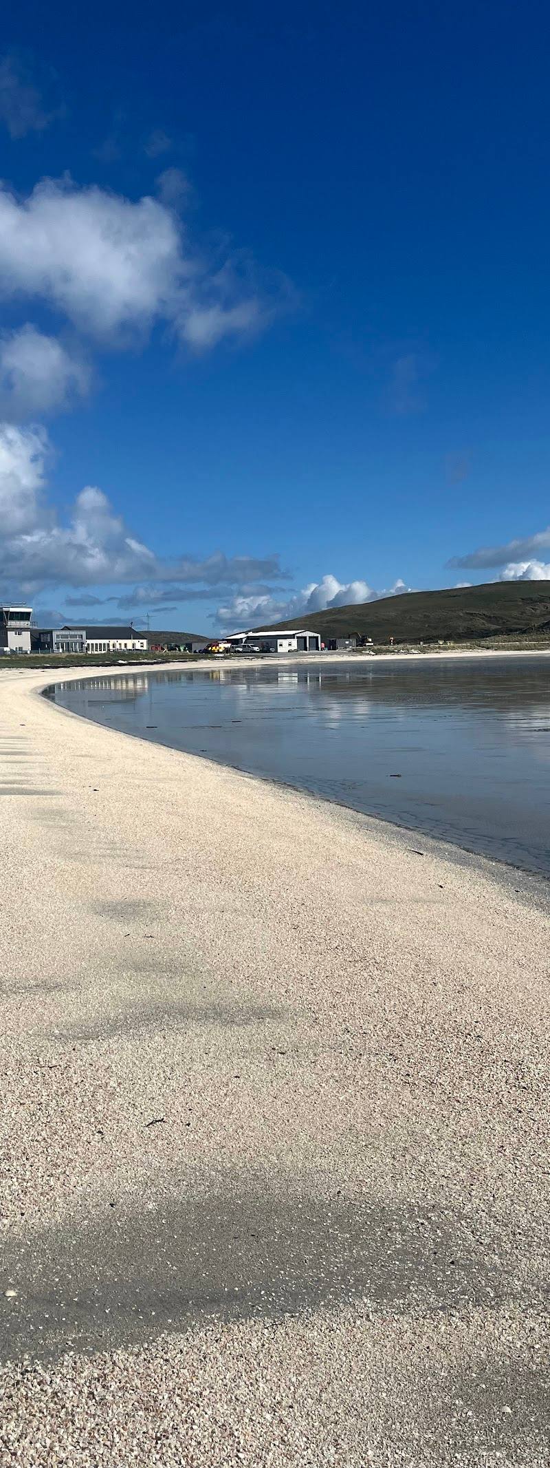
5.7White shell sand and open Atlantic views make this a quiet-feeling beach stop on Barra’s northern peninsula. It can also be a starting point for exploring the wider Eoligarry landscape.
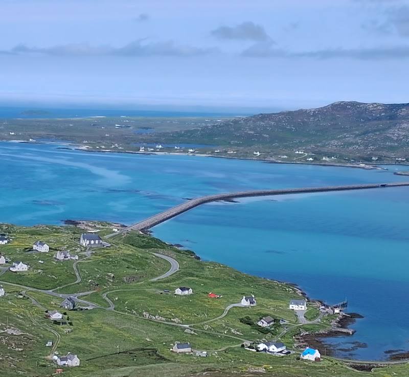
The appeal is the contrast between pale shell sand, sea and Barra’s open northern coastline. It is a place to slow down and explore the shore, rather than a developed beach destination.
Peaceful · Remote · Big-sky
Find your way
Open mapEolaigearraidh, Isle of Barra, Outer Hebrides, Scotland, HS9 5YD
Opening map…
Know this place a little better?
The experience
Spend time on the shore, take in the coastal views and, if you want a longer outing, consider the sourced Eoligarry peninsula walk. The wider route includes rough and pathless ground, so it is not simply a beach stroll.
Things to do
Walk the Eoligarry peninsula route
A documented 5.9-mile walk from Eoligarry jetty includes Cille Bharra, the remains of Dun Sgurabhal, rough pathless terrain and beach sections. It is a wider-area walk, not a route confined to this beach.
Check route conditions; allow a half day
Make a day of it
Quick escape · 1–2 hours
A short shore visit
- 01
Visit the beach and spend time exploring the shoreline.
- 02
Take in the views across the sea and surrounding coast.
- 03
Return the way you came; access details are not confirmed, so check locally before setting out.
Half day · Half day
Beach and Eoligarry peninsula walk
- 01
Plan a longer outing around the Eoligarry peninsula using the sourced walk as a reference.
- 02
The documented 5.9-mile route starts at Eoligarry jetty and passes Cille Bharra, Dun Sgurabhal and beaches including Tràigh Eais.
- 03
Expect rough, pathless sections and widely spaced marker posts; consult current route information and assess conditions before attempting it.
Hidden details
A beach within a wider peninsula landscape — The documented Eoligarry walk links beaches with Cille Bharra and the remains of Dun Sgurabhal, offering a broader outing beyond the shoreline. The route includes rough, pathless sections.
When to go
May · June · July · August · Daylight, with enough time to check conditions and return safely.
Longer summer daylight can make it easier to spend time on the shore or plan a wider peninsula outing. The sources do not establish a specific seasonal wildlife or flower highlight at this beach.
Coastal weather can change quickly. Check the forecast and local conditions before setting out; the supplied sources do not provide beach-specific safety information.
The route
- ascent
- The documented peninsula walk reports 400 feet of ascent.
- surface
- Beach, quiet roads, rough ground and pathless sections are described for the wider peninsula walk.
- distance
- The beach visit has no sourced route distance. A separate Eoligarry peninsula walk is documented as 5.9 miles.
- duration
- Beach visit: 1–2 hours suggested. Peninsula walk: allow a half day and check current route details.
- difficulty
- The documented peninsula walk includes rough and pathless terrain; difficulty is not formally rated.
- waymarking
- Marker posts are described on part of the peninsula walk; they are widely spaced and can be hard to spot.
- route shape
- Not specified in the supplied source.
- start point
- Eoligarry jetty for the documented peninsula walk.
- parking start
- The walk source describes starting at Eoligarry jetty but does not confirm parking arrangements.
- shorter alternative
- A short visit to the beach instead of attempting the full peninsula walk.
- Coastal beaches on the Eoligarry peninsula
- Cille Bharra
- Remains of Dun Sgurabhal
- Views towards South Uist and Eriskay, as described by the route source
Worth pairing with
Eoligarry peninsula walk
A documented longer walk from Eoligarry jetty passes Cille Bharra and Dun Sgurabhal, with beach sections and rough, pathless ground.
What to look for
Notice the pale shell sand and the changing colours of the sea. If exploring beyond the shore, check route conditions and navigation information first.
Best time to go
Spring and summer for longer daylight; conditions can change at any time of year.
Choose a clear spell for coastal views, but be prepared for changeable weather. Check local conditions before travelling.
How long to spend
1–2 hours
Perfect for
Walkers · Photographers · Couples
Before you go
Address
Google rating
Practical information
Opening & access
A beach on Barra’s Eoligarry peninsula. The supplied sources do not confirm access arrangements or facilities; check locally before visiting and take care in changing coastal conditions. Access arrangements are unconfirmed. Check before visiting; do not enter private land or restricted structures.
Check before visiting
Parking
Check before visiting; the supplied sources do not confirm parking at the beach.
Check before visiting
Toilets
Check before visiting.
Check before visiting
Food & drink
Check before visiting.
Check before visiting
Dogs
Check before visiting; dog rules are not confirmed in the supplied sources.
Check before visiting
Accessibility
Beach access and route conditions are not confirmed in the supplied sources. Sand and coastal terrain may make access difficult; check locally before setting out.
Check before visiting
Cost
Check before visiting
Check before visiting
Water
Sea
Gallery
Place photographs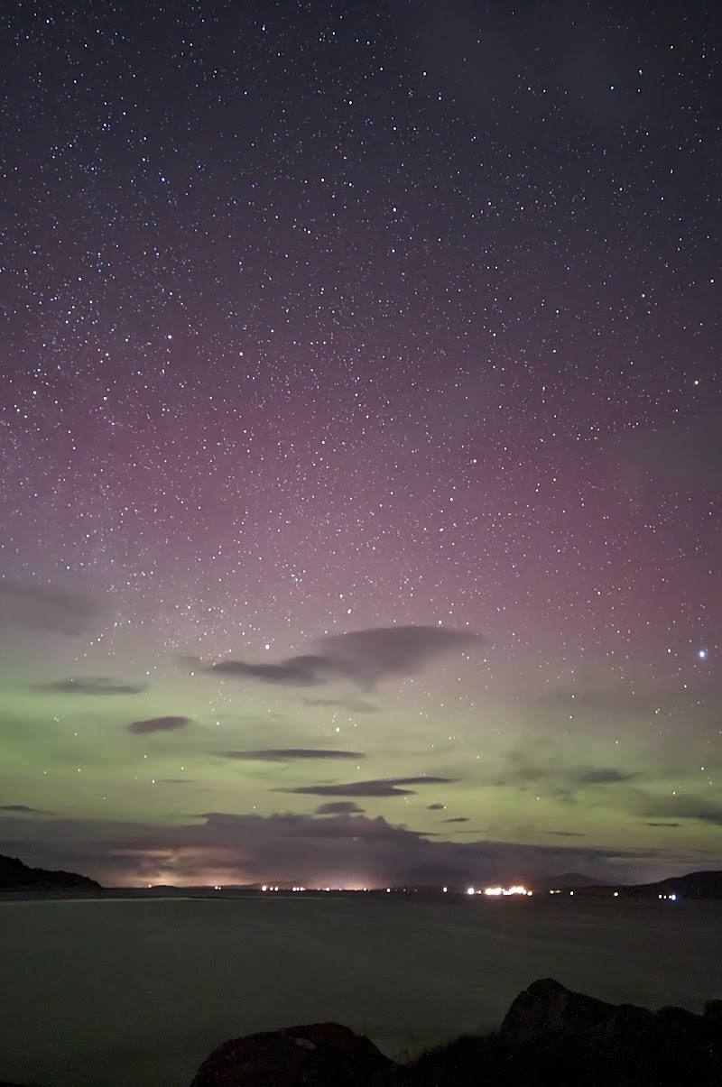
Keep exploring
Around Eolaigearraidh Beach
Within 50 km · approximate straight-line distances