A41, near Bicester, Buckinghamshire OX27 0AJ
Upper Ray Meadows
Mixed-habitat reserve
Source image
5.8
Wildland
1–2 hours
Time
Check
Cost
Wild
Feel
Why it's Wildland
5.8A network of floodplain meadows where the River Ray landscape supports locally scarce wading birds. Curlew usually return from late February, with curlew and lapwing displaying across the reserve in early spring.
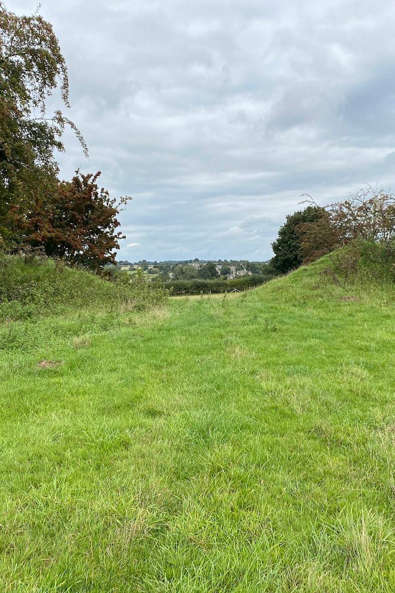
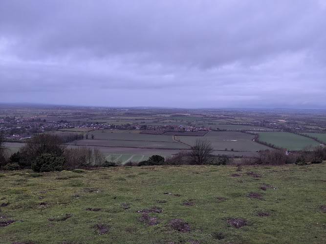
This is a working, open floodplain landscape with a strong seasonal bird story rather than a conventional visitor attraction. The prospect of seeing curlew and lapwing on the meadows makes it most compelling in late winter and spring; plan carefully because the reserve is split across sites and access can change.
Wild · Big-sky · Peaceful
Find your way
Open mapA41, near Bicester, Buckinghamshire OX27 0AJ
Opening map…
Know this place a little better?
The experience
Choose an accessible reserve section first: Upper Ray Meadows is a multi-site reserve, and access restrictions can affect individual areas. Keep the visit simple—walk where access is confirmed, scan the meadows for wading birds and notice the wetland features and seasonal flowers.
Things to do
Watch for curlew and lapwing
Scan the open floodplain meadows for wading birds. BBOWT says the first curlew usually return in late February and that lapwing and curlew can be seen displaying in early spring.
Allow time to watch quietly
Look for summer meadow flowers
The supplied birding account reports wildflowers including pepper saxifrage, burnet and knapweed; the supplied reserve overview also names meadow flowers such as meadowsweet and tufted vetch.
Notice the floodplain’s wetland features
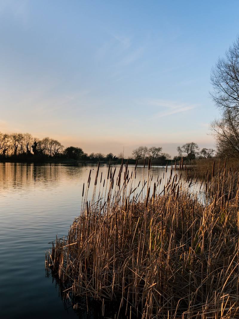
The reserve includes a network of shallow pools, scrapes and ditches intended to retain water into late spring, supporting feeding habitat for wader chicks.
Make a day of it
Quick escape · 1–2 hours
A short floodplain birdwatch
- 01
Check BBOWT’s current access information and choose a reserve section that is open; Leaches Farm is subject to a temporary closure notice.
- 02
Follow an available walking trail and pause where you can scan the open meadows.
- 03
In late winter or early spring, look and listen for curlew and lapwing; in summer, notice the meadow flowers.
Verified history
The supplied sources describe the reserve as floodplain meadows on the River Ray, with parts managed using traditional farming methods. They report that medieval ridge-and-furrow earthworks survive in areas of the site. No more detailed dated history is established by the supplied evidence.
Hidden details
Water-retaining scrapes and ditches — Shallow pools, scrapes and ditches have been created to retain wet conditions into late spring, when wader chicks need feeding habitat.
When to go
March · April · May · June · July · No source-backed time of day is specified; check conditions and visit when you can give time to watch wildlife quietly.
BBOWT reports curlew returning from late February and curlew and lapwing displaying in early spring. Summer is a stronger season for the reported meadow flowers. The reserve’s wetland features are intended to retain water into late spring.
The supplied sources describe a flat, open landscape where high water is possible and conditions may be slippery. Check local conditions and access before travelling.
What to look for
- 01
Scan the floodplain meadows for curlew and lapwing, particularly in early spring. In summer, look for meadow flowers
- 02
the supplied sources name pepper saxifrage, burnet, knapweed, meadowsweet and tufted vetch. Some areas retain medieval ridge-and-furrow earthworks.
The story
Floodplain meadow management and surviving medieval ridge-and-furrow earthworks are reported by the supplied sources.
Best time to go
Late February to early spring for returning and displaying curlew and lapwing; summer for meadow wildflowers.
Late February and early spring are the standout period for returning curlew and displaying curlew and lapwing. A clear, calm visit may make watching across the open landscape easier; check conditions before travelling.
How long to spend
1–2 hours
Perfect for
Birdwatchers · Wildlife lovers · Photographers · Walkers
Before you go
Address
Website
Listed hours
- Monday: Open 24 hours
- Tuesday: Open 24 hours
- Wednesday: Open 24 hours
- Thursday: Open 24 hours
- Friday: Open 24 hours
- Saturday: Open 24 hours
- Sunday: Open 24 hours
Check before visiting.
Google rating
Practical information
Opening & access
BBOWT reserve complex on the River Ray floodplain. The reserve page reports no entry fee and walking trails, but access differs between its component sites. BBOWT currently warns that Leaches Farm is closed because of temporary Public Right of Way works; check the reserve page before setting out.
Check before visiting
Parking
Parking arrangements vary by reserve section. Check BBOWT’s current directions before visiting; the source describes verge and layby parking at some access points.
Check before visiting
Toilets
Check before visiting
Check before visiting
Food & drink
Check before visiting
Check before visiting
Dogs
Check before visiting
Check before visiting
Accessibility
The available sources describe flat, open landscape, but do not establish accessible paths or facilities. Check conditions and the relevant site access before visiting.
Check before visiting
Cost
Free entry reported by BBOWT; check current arrangements before visiting
Check before visiting
Water
River, wetland pools and ditches
Gallery
Place photographsKeep exploring
Around Upper Ray Meadows
Within 50 km · approximate straight-line distances